
Photo: Wikipedia
Demographics of Alamogordo, NM
Affluence Level in Alamogordo, NM
A below-average socioeconomic profile. Incomes, home values, and educational attainment trail the U.S., with higher poverty and unemployment.
People of Alamogordo, NM
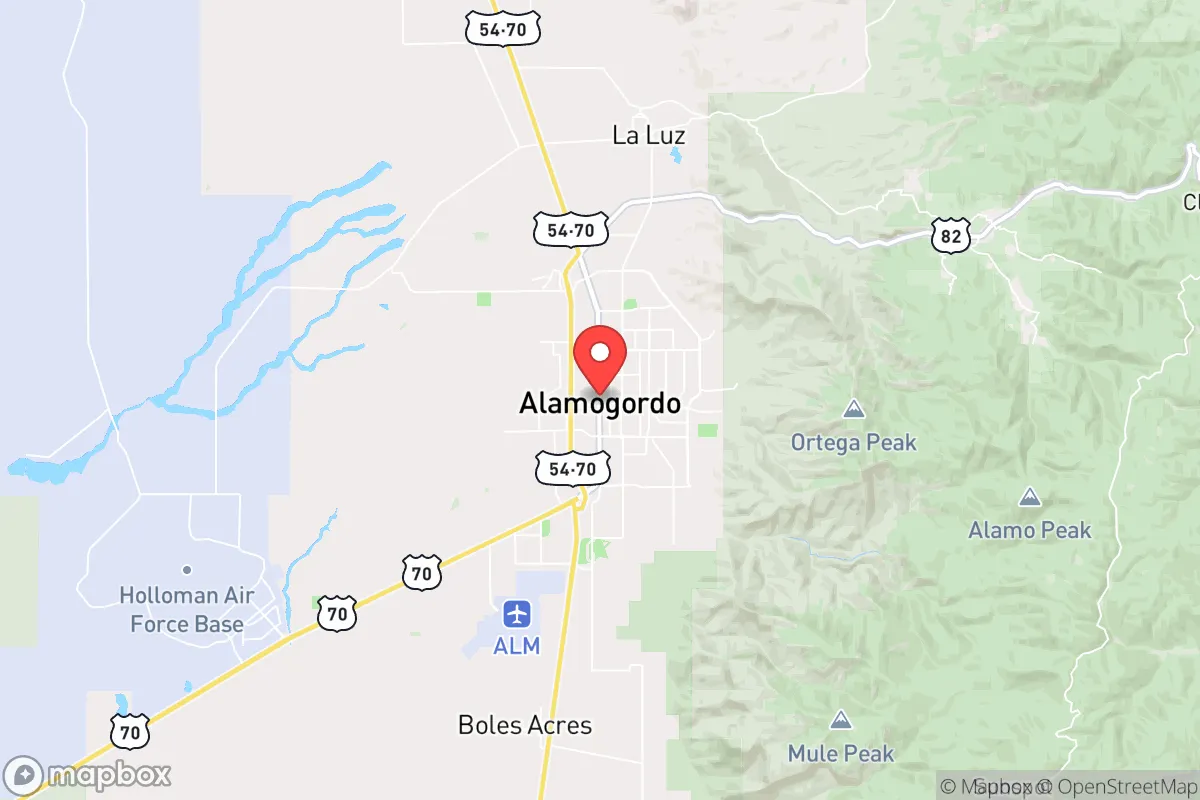
The people of Alamogordo, New Mexico, today number 31,063, forming a community shaped by military, aerospace, and borderland dynamics. The city is 54.3% White and 31.8% Hispanic, with smaller Black (5.6%) and East/Southeast Asian (2.5%) populations, and a notably low foreign-born share of just 2.9%. A quarter of adults hold a college degree, reflecting the influence of nearby Holloman Air Force Base and White Sands Missile Range. Alamogordo’s identity is distinctly working-class and military-connected, with a conservative tilt that sets it apart from New Mexico’s more liberal urban centers.
How the city was settled and grew
Alamogordo was founded in 1898 as a planned railroad town by the El Paso and Northeastern Railway, which needed a depot and repair shops along its route through the Tularosa Basin. The original population was overwhelmingly Anglo-American—railroad workers, merchants, and homesteaders drawn by the promise of irrigated agriculture. The city’s earliest neighborhood, Old Town (centered around 10th Street and New York Avenue), was built by these settlers, with wood-frame houses and brick commercial blocks that still stand today. A second wave arrived after 1912, when the U.S. Army established the Alamogordo Bombing and Gunnery Range (later Holloman AFB) during World War II. This brought a surge of military personnel and civilian contractors, many of whom settled in the White Sands Addition (east of Florida Avenue), a grid of modest postwar homes built for base families. By 1950, the population had grown to roughly 6,000, with Hispanics—many from nearby Hispanic villages like Tularosa and La Luz—forming a significant minority, concentrated in the La Luz area (a separate community that later merged into Alamogordo’s eastern edge). The city’s growth remained tied to federal installations: the White Sands Missile Range (founded 1945) and the National Solar Observatory (1950s) drew scientists and technicians, but Alamogordo never became a major immigrant destination. Its population was, and remains, predominantly native-born.
Modern era (post-1965)
After the 1965 Immigration and Nationality Act, Alamogordo saw little of the large-scale immigration that transformed other Sun Belt cities. The foreign-born share stayed below 3%, and the Hispanic population grew primarily through natural increase and domestic migration from other parts of New Mexico and Texas, not from cross-border movement. The 1970s and 1980s brought suburban expansion, with new subdivisions like Desert Lakes (north of U.S. 70) and Indian Wells (near the base’s east gate) attracting military retirees and civilian defense workers. These neighborhoods are predominantly White and middle-class, with newer homes and larger lots. Meanwhile, the La Luz area continued to absorb Hispanic families, many of whom had roots in the region going back generations. The Black population, at 5.6%, is largely tied to the military—Holloman AFB has a modest but stable African American presence, concentrated in base housing and the Holloman Heights neighborhood (off Scenic Drive). East/Southeast Asian residents (2.5%) are almost entirely military-affiliated, with Filipino and Korean families often living in base housing or the White Sands Addition. The Indian-subcontinent population is negligible (0.1%). Since 2000, Alamogordo’s population has grown slowly—about 5% total—as the city has struggled to attract private-sector employers beyond the federal government.
The future
Alamogordo’s demographic trajectory points toward slow, modest change. The Hispanic share is likely to rise gradually, from 31.8% toward 40% by 2040, driven by higher birth rates and continued domestic migration from southern New Mexico and west Texas. The White share will decline proportionally, but the city will remain majority-White for the foreseeable future. The foreign-born share is unlikely to climb significantly, as Alamogordo lacks the job base (no major manufacturing, limited service-sector growth) that draws immigrants. The military presence will remain the key demographic anchor: Holloman AFB’s mission (training, testing, and drone operations) is stable, and base-related turnover will keep the Black and East/Southeast Asian populations at current levels. New housing developments, such as the Vista Hills subdivision (south of White Sands Boulevard), are attracting younger families, but the city’s overall age profile is aging slightly. Alamogordo is not tribalizing into distinct ethnic enclaves—neighborhoods remain relatively mixed—but the La Luz area is becoming more heavily Hispanic, while Desert Lakes and Indian Wells remain predominantly White. The next 10–20 years will likely see a slightly more Hispanic, slightly older, and still heavily military-aligned population.
For someone moving in now, Alamogordo offers a stable, low-immigration community where the federal government is the dominant employer and cultural anchor. The city is becoming more Hispanic but not dramatically so, and its military character ensures a steady influx of new residents from across the United States. It is not a place of rapid demographic transformation—rather, it is a slow-growth, conservative-leaning town where the population’s composition reflects its origins as a railroad and military outpost more than any recent migration wave.
* Values derived from national, state, county, city and local statistics and may differ in a specific area. Last updated: 2026-04-19T07:02:47.000Z
Narrative content on this page is AI-generated and may contain mistakes. Verify any details that matter before acting on them.
ReloMaps may earn a commission from affiliate links at no extra cost to you.