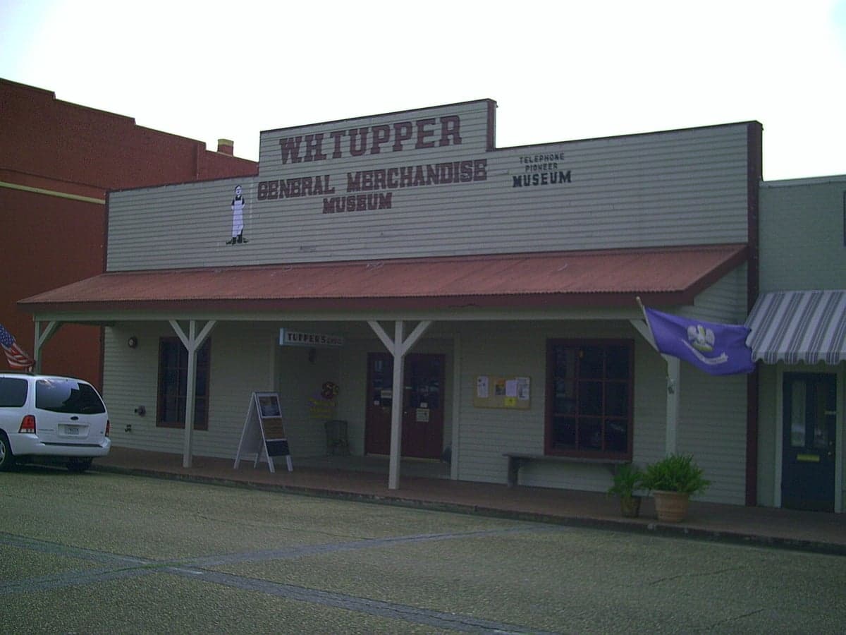
Photo: Wikipedia
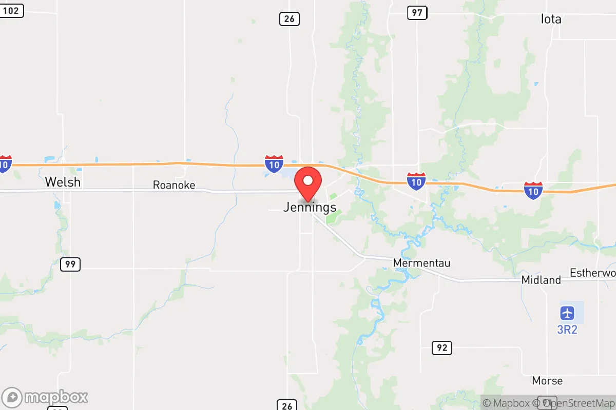
Strategic Assessment of Jennings, LA
Meaningful friction. Expect exposure to either population pressure, blast zones, or natural disaster risk. Consider buying a retreat property.
What does the Strategic Assessment tell us?
Our Strategic Assessment grades tactical survivability of an area. Major population centers, military targets, fallout zones, natural disasters, and border exposure all drive risk — lower exposure means a more defensible position in a crisis.
This is heavily inspired by Joel Skousen's Strategic Relocation book. Highly recommended you checkout the book ($)What does this tell us?
Our Strategic Assessment grades tactical survivability of an area. Major population centers, military targets, fallout zones, natural disasters, and border exposure all drive risk — lower exposure means a more defensible position in a crisis.
This is heavily inspired by Joel Skousen's Strategic Relocation book. Highly recommended you checkout the book ($)Strategic Pillars

Key Distances
Regional Safe Places
Below is our recommended "safe zones" in Louisiana and the surrounding area based on our strategic heuristics. For most people, it's unrealistic to live in a “safe zone” full-time due to work, family or other personal reasons. They tend to be more rural. However, many of these areas are perfect for second homes and retreat properties that double as a vacation home or even a short-term rental.

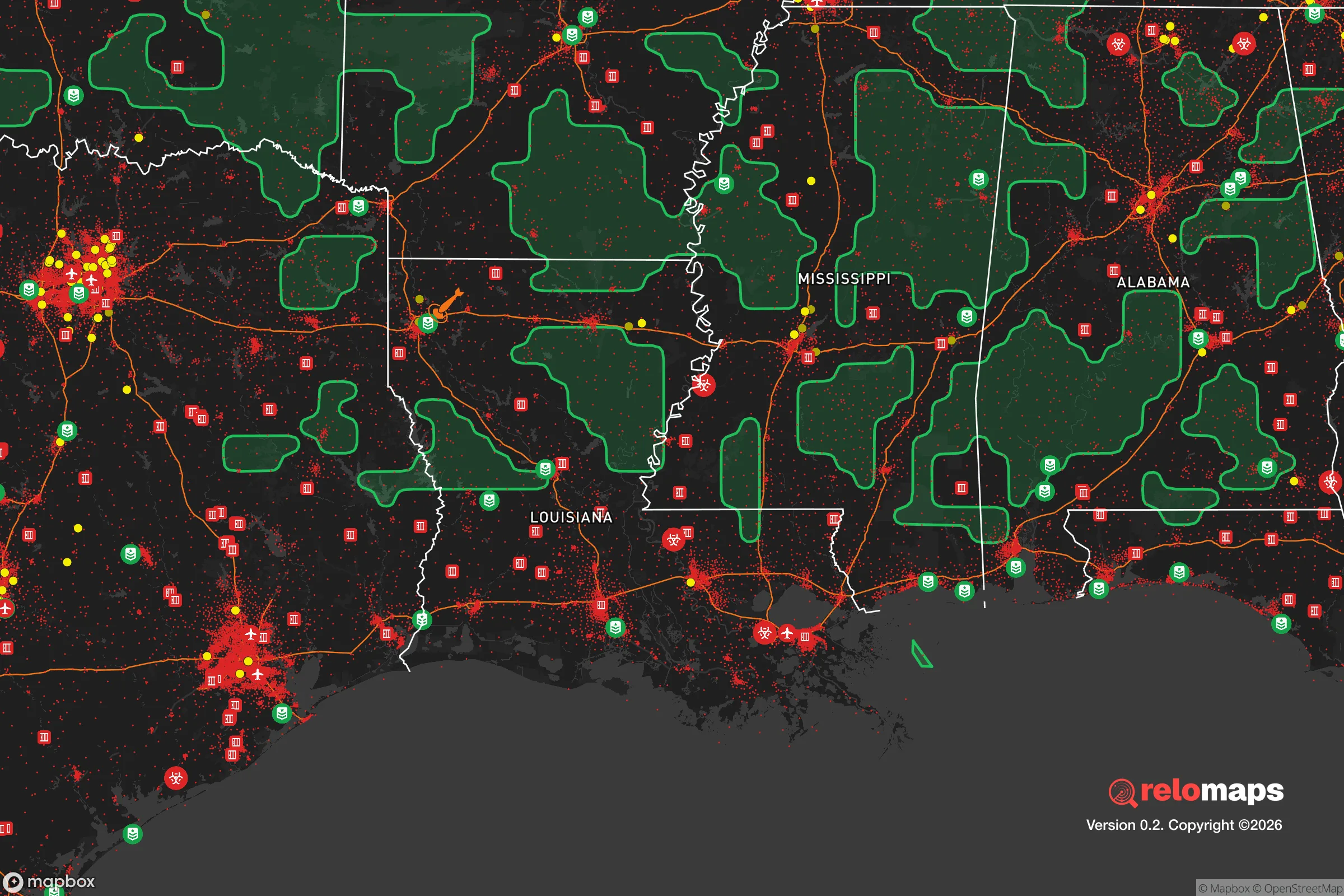
Important Note: For informational purposes only. This does not mean nothing bad ever happens in the green zones. Please use common sense. This is based on public data and modeled with AI. We tried to take a conservative approach but mistakes happen. We update this regularly as new information becomes available.
Solar Generator Recommendations
Backup power matters more here than in safer locations. We've picked three solar generators across budgets and capacity tiers — start with the budget unit if you only need a few essentials, or step up if you want to run a fridge and HVAC for days at a time.

Jackery Portable Power Station Explorer 300
Budget OptionPower on the Go: Weighing only 11 lbs, it's convenient to set up and store with book-sized foldable solar panels

BLUETTI Portable Power Station AC180
Designed for both indoor and outdoor scenarios, AC180 is highly capable as it has a robost capacity and continuous output power.

EF ECOFLOW DELTA Pro Ultra Power Station
Upgraded PickEcoFlow DELTA Pro Ultra is a whole-home energy system designed to grow with your family. Integrated with the Smart Home Panel 2, it scales to meet your evolving energy needs — keeping your home powered, intelligent, and secure through every stage of life.
We earn a commission, at no additional cost to you.
Strategic Assessment Analysis
Jennings, Louisiana, presents a mixed strategic picture for the conservative prepper or survivalist. Its location in the Cajun prairie offers genuine advantages in terms of resource independence and relative isolation from immediate coastal threats, but it sits within a region that carries its own set of vulnerabilities. The town’s resilience is anchored in its position as a small energy hub and its access to abundant fresh water and fertile land, yet its proximity to the I-10 corridor and the petrochemical complex of Lake Charles introduces risks that cannot be ignored. For a relocator prioritizing long-term stability and self-sufficiency, Jennings is a location that demands careful trade-off analysis rather than blind endorsement.
Geographic position and natural advantages for long-term stability
Jennings occupies a strategic niche in southwestern Louisiana, roughly 70 miles west of Lafayette and 50 miles east of the Texas border. This places it far enough from the major Gulf Coast population centers—Houston, New Orleans, Baton Rouge—to avoid the worst of urban collapse scenarios, yet close enough to access critical supply routes if needed. The area sits on the natural ridge of the Cajun prairie, which provides slightly higher elevation than the surrounding marshland, reducing flood risk compared to coastal parishes. The nearby Mermentau River and Bayou Nezpique offer reliable freshwater sources, and the region’s high water table means well drilling is feasible for most properties. The climate supports year-round growing seasons, with an average 230 frost-free days, allowing for extended food production. For a relocator seeking a buffer zone between the chaos of the I-10 corridor and the deep rural interior, Jennings occupies a defensible middle ground.
Risks, exposures, and proximity to fallout-relevant landmarks
The most significant strategic liability for Jennings is its position within the Louisiana petrochemical corridor. The town itself is home to a major oil storage facility and is less than 40 miles from the Lake Charles industrial complex, which includes refineries, LNG terminals, and chemical plants. In a mass casualty event or large-scale disaster, these facilities become primary targets for both accidental cascading failures and deliberate disruption. The I-10 bridge over the Atchafalaya Basin, roughly 50 miles east, is a chokepoint that could become impassable during evacuation or unrest, effectively isolating Jennings from eastern supply lines. Additionally, the region’s vulnerability to hurricanes is real—Hurricane Laura (2020) and Hurricane Rita (2005) both caused extended power outages and infrastructure damage in the area. For the prepper, the calculus is clear: Jennings offers natural resource advantages but sits within a zone that could see secondary effects from industrial accidents or targeted infrastructure attacks. The proximity to the Gulf Intracoastal Waterway also means barge traffic carrying hazardous materials passes within 15 miles of town, adding another layer of risk.
Practical resilience for a relocator: food, water, energy, and defensibility
On the practical side, Jennings scores well on several key prepper metrics. Water is abundant and accessible—the Chicot Aquifer system provides high-quality groundwater, and many rural properties can install a well for under $5,000. Surface water from the Mermentau River is also available, though it requires filtration. Food production is viable due to the long growing season and fertile silt-loam soils; rice, crawfish, and cattle operations dominate the local agriculture, meaning bulk food sources are nearby. The town’s role as a minor oil and gas hub means energy infrastructure is locally maintained, with natural gas distribution and propane availability being better than in purely rural areas. For defensibility, the flat prairie terrain offers limited natural cover, but the network of bayous and canals creates natural barriers that can slow movement. The population of roughly 10,000 means the town is small enough that a relocator can integrate into the community quickly, but large enough to have a hardware store, a hospital, and a Walmart—critical for pre-disaster stockpiling. The local political culture is strongly conservative, with Jefferson Davis Parish voting +42 R in 2024, which aligns with the mindset of a relocator seeking a community that values self-reliance and mutual aid over government dependency. However, the lack of topographic defensibility—no hills, no forests, just open fields—means that a determined group could approach from any direction, making perimeter security a challenge.
For the relocator focused on long-term sustainability, Jennings offers a few specific advantages worth noting. The presence of the Louisiana Oil and Gas Park and the Jennings Historical District indicates a community with institutional memory and local pride, which often translates into stronger social cohesion during crises. The local economy is diversified enough—energy, agriculture, healthcare, and light manufacturing—that a single industry collapse won’t devastate the area. The Jennings Municipal Airport provides a potential evacuation or resupply point for those with aviation access. On the downside, the town’s reliance on the I-10 corridor for commerce means that any disruption to that highway—whether from a hurricane, a bridge failure, or civil unrest—will immediately impact supply chains. The nearest major medical center is in Lake Charles, which is both a vulnerability and a dependency. For a relocator with a family, the school system is adequate but not exceptional, with Jennings High School scoring a 5/10 on GreatSchools—acceptable for a rural area but not a draw in itself.
Overall strategic picture for the conservative relocator
Jennings, LA, is best understood as a secondary-tier relocation target for the serious prepper. It is not a bug-out location in the traditional sense—it lacks the remote defensibility of the Ozarks or the high desert of the Intermountain West. But it offers a realistic, affordable entry point into a community that already lives with a degree of self-sufficiency baked into its culture. The risks from the petrochemical corridor and hurricane exposure are real, but they are manageable with proper planning—elevated storage, a generator, and a well. For the conservative relocator who wants to be within a day’s drive of the Gulf Coast but not on it, who values water abundance and growing-season length over mountain seclusion, and who is willing to accept industrial proximity in exchange for economic opportunity and community alignment, Jennings deserves a serious look. The bottom line: it’s a place where you can build resilience, but you’ll need to stay vigilant about the vulnerabilities that come with being in the shadow of the I-10 petrochemical spine.
* Values derived from national, state, county, city and local statistics and may differ in a specific area. Last updated: 2026-05-01T10:58:51.000Z
Narrative content on this page is AI-generated and may contain mistakes. Verify any details that matter before acting on them.
ReloMaps may earn a commission from affiliate links at no extra cost to you.