
Photo: Wikipedia
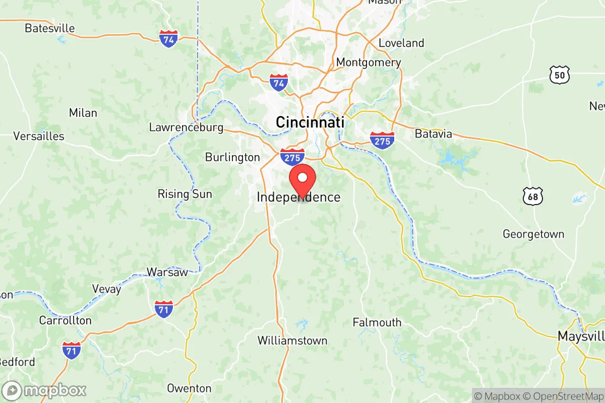
Strategic Assessment of Kenton County
Meaningful friction. Expect exposure to either population pressure, blast zones, or natural disaster risk. Consider buying a retreat property.
What does the Strategic Assessment tell us?
Our Strategic Assessment grades tactical survivability of an area. Major population centers, military targets, fallout zones, natural disasters, and border exposure all drive risk — lower exposure means a more defensible position in a crisis.
This is heavily inspired by Joel Skousen's Strategic Relocation book. Highly recommended you checkout the book ($)What does this tell us?
Our Strategic Assessment grades tactical survivability of an area. Major population centers, military targets, fallout zones, natural disasters, and border exposure all drive risk — lower exposure means a more defensible position in a crisis.
This is heavily inspired by Joel Skousen's Strategic Relocation book. Highly recommended you checkout the book ($)Strategic Pillars

Key Distances
Strategic Assessment Analysis
Kenton County, Kentucky, sits in a precarious but potentially advantageous position for those serious about strategic relocation. Its location along the Ohio River, directly across from Cincinnati, offers both a buffer from the most intense urban chaos and access to critical infrastructure, but the proximity to a major metropolitan area introduces significant fallout risks. For a conservative-leaning individual or family prioritizing self-reliance and preparedness, this county presents a mixed bag: the natural geography provides some defensibility and resource access, but the region’s density and industrial targets demand careful, sober assessment.
Geographic position and natural advantages for long-term survival
Kenton County’s primary strategic asset is its position on the Ohio River, a major water artery that offers both a reliable water source and a potential transportation corridor if roads become impassable. The county itself is hilly and wooded, particularly in the southern and eastern parts around Independence and Taylor Mill, which provide natural cover and defensible terrain compared to the flatter, more exposed areas near the river. The region’s temperate climate supports four-season agriculture, with a growing season long enough for staple crops like corn, beans, and squash, plus ample rainfall averaging 40-45 inches annually—critical for off-grid water collection. The Boone County border to the west offers additional rural buffer, while the Licking River cuts through the county, creating natural chokepoints and secondary water sources. For a relocator, the ability to tap into the Ohio River for bulk water (with proper filtration) and the surrounding hardwood forests for fuel and building materials gives Kenton a leg up over more arid or flat regions. The county’s position also places it within a day’s drive of the Appalachian foothills, offering a potential retreat zone if the river corridor becomes too contested.
Risks, exposures, and proximity to fallout-relevant landmarks
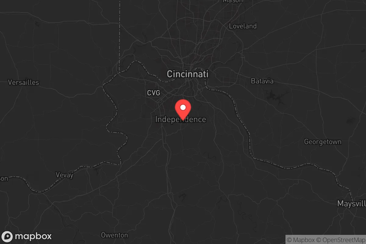
The biggest liability here is the county’s direct adjacency to Cincinnati, a major population center of roughly 300,000 people within the city proper and over 2 million in the metro area. In a collapse scenario—whether from civil unrest, economic breakdown, or a mass casualty event—that mass of humanity will likely flow outward, and Kenton County is the first suburban stop across the river. The Brent Spence Bridge (I-71/I-75) and the Clay Wade Bailey Bridge are critical chokepoints that could become death traps or contested zones. Additionally, the county hosts the Cincinnati/Northern Kentucky International Airport (CVG) in nearby Hebron, a major cargo hub and potential target for disruption or military staging. The Ohio River itself is lined with industrial facilities, including chemical plants and power stations, that could become fallout hazards if damaged. The West End neighborhood of Covington sits directly across from downtown Cincinnati, making it a high-risk zone for any blast or contamination event originating from the city. For a prepper, the county’s dense suburban sprawl in Covington, Newport, and Fort Mitchell means that most residential areas are within a few miles of these targets, with limited natural shielding. The Interstate 75 corridor running through the county is a primary evacuation route, which means it will be clogged or targeted in any crisis.
Practical resilience for a relocator: food, water, energy, and defensibility
For those willing to push deeper into the county’s rural pockets—think southern Kenton County near the Grant County line or the Rural Valley area—the practical resilience picture improves. Water is abundant from the Ohio and Licking Rivers, plus numerous creeks and springs, but surface water requires heavy filtration due to upstream industrial and agricultural runoff. Well water is common in rural parcels, with depths averaging 100-200 feet, but testing for contaminants like benzene or heavy metals from historic manufacturing is wise. Food production is viable: the county has a few remaining farm operations, but most land is suburban or exurban, so a relocator would need to secure acreage for gardens, livestock, and possibly a greenhouse to extend the growing season. Energy independence is challenging here—the grid is reliable in normal times, but solar potential is moderate (4-4.5 peak sun hours), and natural gas is the dominant heating fuel. Wood stoves are a practical backup given the forest cover, but sourcing firewood without drawing attention requires careful management. Defensibility is the weak point: the county’s rolling hills and tree lines offer some concealment, but the road network is dense and easily monitored from higher ground. A rural property with a long driveway, a creek for water, and a southern slope for solar would be ideal, but such parcels are increasingly scarce and expensive. The Kenton County Sheriff’s Office and local police are professional, but in a prolonged crisis, response times will stretch thin, especially in the southern reaches. For a single individual or family, the best approach is to establish a small, off-grid capable homestead in the southern part of the county, with a pre-planned bug-out route into the Daniel Boone National Forest or the Red River Gorge area if the river corridor becomes untenable.
The overall strategic picture for Kenton County is one of calculated risk. It offers genuine advantages in water access, moderate climate, and proximity to Appalachian retreat zones, but the shadow of Cincinnati and the industrial river corridor make it a high-exposure area for anyone serious about long-term survival. For a conservative relocator who values community and infrastructure but is willing to invest in hardening a rural property, the southern parts of the county—away from the interstate and the river—provide a workable base. But if your primary concern is avoiding mass population movement and industrial fallout, you’d be better served looking further south into Grant or Pendleton County, where the buffers are wider and the targets fewer. Kenton County is a staging ground, not a sanctuary—know that going in, and plan accordingly.
* Values derived from national, state, county, city and local statistics and may differ in a specific area. Last updated: 2026-06-05T09:24:34.000Z
Narrative content on this page is AI-generated and may contain mistakes. Verify any details that matter before acting on them.
ReloMaps may earn a commission from affiliate links at no extra cost to you.