Photo: Wikipedia
Strategic Assessment of Licking County
Meaningful friction. Expect exposure to either population pressure, blast zones, or natural disaster risk. Consider buying a retreat property.
What does the Strategic Assessment tell us?
Our Strategic Assessment grades tactical survivability of an area. Major population centers, military targets, fallout zones, natural disasters, and border exposure all drive risk — lower exposure means a more defensible position in a crisis.
This is heavily inspired by Joel Skousen's Strategic Relocation book. Highly recommended you checkout the book ($)What does this tell us?
Our Strategic Assessment grades tactical survivability of an area. Major population centers, military targets, fallout zones, natural disasters, and border exposure all drive risk — lower exposure means a more defensible position in a crisis.
This is heavily inspired by Joel Skousen's Strategic Relocation book. Highly recommended you checkout the book ($)Strategic Pillars

Key Distances
Strategic Assessment Analysis
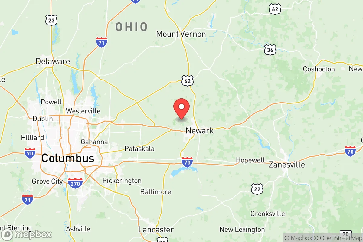
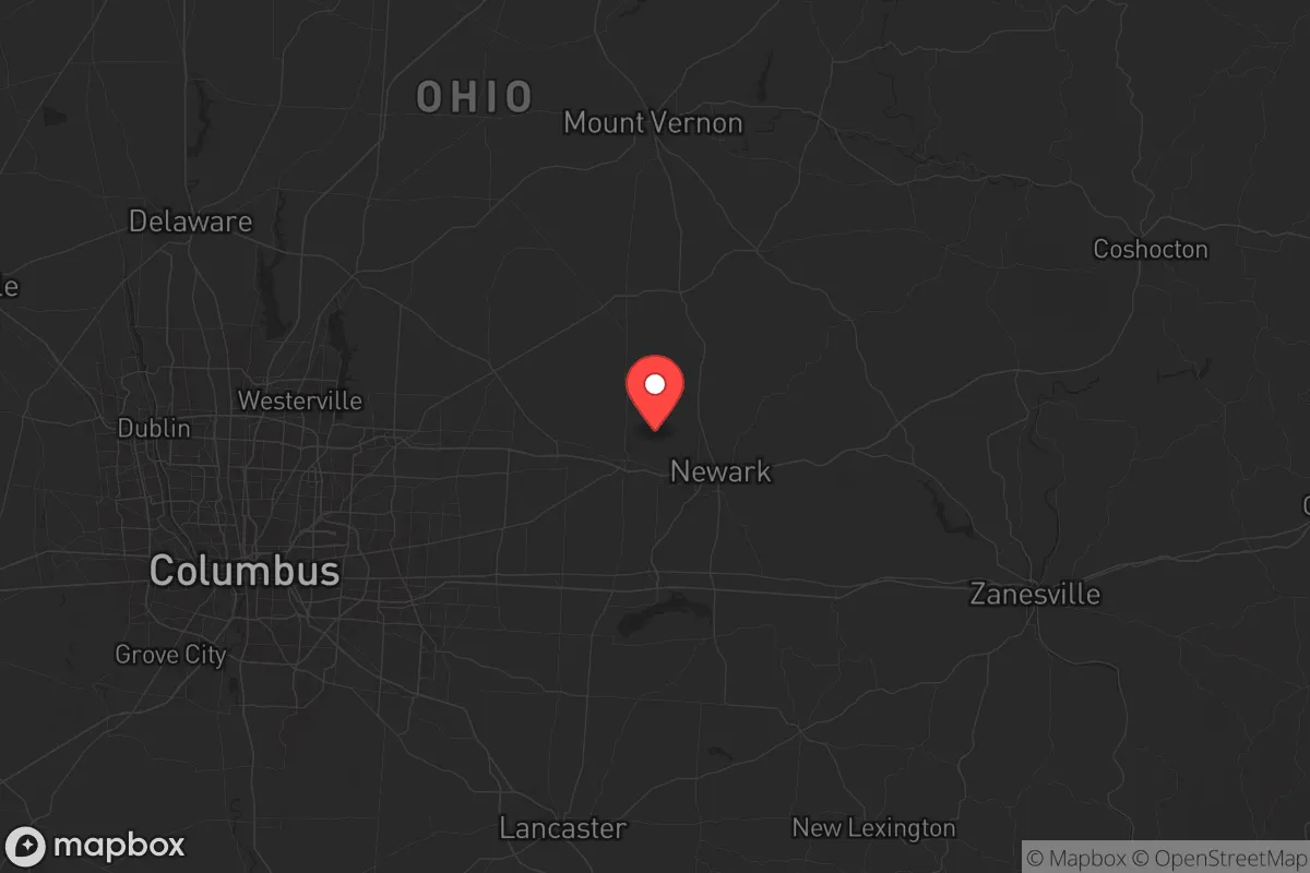
Licking County, Ohio, sits in a sweet spot that few relocation analysts fully appreciate: close enough to a major metro to access resources, yet far enough to avoid the blast radius and immediate fallout zones of a high-value target. Centered around Newark and extending to Granville, Heath, and Pataskala, this county offers a strategic buffer from the chaos that would likely engulf larger cities in a crisis. Its location east of Columbus places it outside the most probable concentric rings of destruction, while its natural geography and infrastructure provide a foundation for long-term resilience that appeals to those thinking beyond mere convenience.
Geographic position and natural advantages for long-term security
Licking County’s primary strategic asset is its position relative to the Columbus metropolitan area. Columbus, as the state capital and a major logistics hub, would be a prime target for any adversary seeking to disrupt national supply chains or government functions. However, Licking County lies roughly 30 to 40 miles east of downtown Columbus—far enough to be outside the immediate blast and thermal effects of a large-scale conventional or nuclear strike, yet close enough to access medical, supply, and evacuation routes if they remain functional. The county is bisected by Interstate 70 and State Route 161, providing east-west corridors that could serve as escape routes away from the city, while U.S. Route 62 and State Route 79 offer north-south alternatives. The terrain is rolling hills and mixed woodland, offering natural cover and defensible positions, especially in the eastern and southern portions near the Muskingum River watershed. The Licking River itself runs through the county, providing a reliable water source that is less likely to be contaminated by upstream industrial runoff compared to rivers near heavy manufacturing zones. The presence of Dawes Arboretum and Buckeye Lake adds to the area’s natural resource base, with the lake offering both a water reserve and a potential fishing source. The county’s agricultural land—particularly around Johnstown and St. Louisville—supports local food production, a critical factor when supply chains falter.
Risks, exposures, and proximity to fallout-relevant landmarks
No location is without vulnerabilities, and Licking County has several that a strategic relocator must weigh. The most immediate concern is Rickenbacker Air National Guard Base, located just south of Columbus in Franklin County, about 25 miles west of Newark. While not a primary nuclear target, Rickenbacker is a key airlift hub and would likely be a secondary target in a conflict, potentially generating fallout that could drift eastward into Licking County depending on wind patterns. Similarly, the Columbus Defense Supply Center and the Port Columbus International Airport are high-value logistics nodes that could attract strikes. The county itself hosts Denison University in Granville, a small liberal arts college that is unlikely to be a direct target but could become a gathering point for displaced populations. More concerning is the Newark Air Force Base (now largely decommissioned and redeveloped as the Newark Industrial Park), which historically housed sensitive defense electronics—any residual contamination or re-purposing for military logistics could draw attention. The county also sits within 50 miles of the Piketon uranium enrichment facility (about 70 miles south), a potential target that could produce significant fallout if struck. On the plus side, Licking County lacks major refineries, ports, or large-scale chemical plants, reducing the risk of industrial accidents or targeted strikes on hazardous materials. The primary risk is not direct attack but secondary effects: refugees from Columbus, supply disruptions, and potential civil unrest as urban populations flee eastward. The county’s population of roughly 180,000 is spread across small towns and rural areas, which helps dilute the chaos but also means local law enforcement and emergency services could be quickly overwhelmed.
Practical resilience for a relocator: food, water, energy, and defensibility
For a relocator focused on self-sufficiency, Licking County offers a mix of advantages and gaps. Water is the most critical resource, and the county is well-positioned with the Licking River, Buckeye Lake, and numerous smaller streams and ponds. Groundwater is generally accessible via wells, though the depth varies—most residential wells in the county run 100 to 300 feet, with good yields in the glacial till and bedrock aquifers. Surface water is abundant but requires filtration and boiling, especially after a crisis when sewage treatment may fail. Food production is viable: the county has a strong agricultural base, with corn, soybeans, and livestock operations concentrated in the central and eastern areas. Local farmers’ markets in Newark and Granville are active, but a relocator should plan to establish their own garden and secure relationships with local growers before a crisis. Energy resilience is a mixed picture. The county is served by AEP Ohio, with the grid fed by coal, natural gas, and some renewables. The Conesville Power Plant (about 30 miles east in Coshocton County) is a coal facility that could be a target, but its closure in 2020 has reduced that risk. Solar and small-scale wind are viable, especially in the open farmland, but the county’s tree cover limits solar efficiency in wooded areas. Defensibility is strong in the eastern and southern hills, where narrow roads and dense woods create natural chokepoints. The Blackhand Gorge State Nature Preserve and Licking County’s many ravines offer terrain that favors a defender over an invader. However, the county’s proximity to I-70 means that a determined group could move through quickly, so a relocator should choose a property away from major highways—look at areas near Fallsburg or Utica for deeper rural isolation. The local population is predominantly conservative and self-reliant, with a strong hunting and firearms culture, which can be an asset for community defense but also means newcomers should integrate respectfully.
The overall strategic picture for Licking County is one of calculated risk. It is not a remote survivalist redoubt—it is a buffer zone that offers a realistic balance between access and security. For a relocator who wants to be within a few hours of Columbus’s hospitals and supply chains but far enough to avoid the worst of a collapse, this county works. The key is to secure a property with its own water source, defensible terrain, and a network of trusted neighbors. The risks from fallout are moderate, primarily from secondary targets to the west and south, but the county’s geography and community character provide a solid foundation for weathering the storm. If you are looking for a place that is not a target but still has the infrastructure to rebuild, Licking County deserves a serious look.
* Values derived from national, state, county, city and local statistics and may differ in a specific area. Last updated: 2026-06-01T12:46:55.000Z
Narrative content on this page is AI-generated and may contain mistakes. Verify any details that matter before acting on them.
ReloMaps may earn a commission from affiliate links at no extra cost to you.