
Photo: Wikipedia
Strategic Assessment of Vergennes, VT
Meaningful friction. Expect exposure to either population pressure, blast zones, or natural disaster risk. Consider buying a retreat property.
What does the Strategic Assessment tell us?
Our Strategic Assessment grades tactical survivability of an area. Major population centers, military targets, fallout zones, natural disasters, and border exposure all drive risk — lower exposure means a more defensible position in a crisis.
This is heavily inspired by Joel Skousen's Strategic Relocation book. Highly recommended you checkout the book ($)What does this tell us?
Our Strategic Assessment grades tactical survivability of an area. Major population centers, military targets, fallout zones, natural disasters, and border exposure all drive risk — lower exposure means a more defensible position in a crisis.
This is heavily inspired by Joel Skousen's Strategic Relocation book. Highly recommended you checkout the book ($)Strategic Pillars

Key Distances
Regional Safe Places
Below is our recommended "safe zones" in Vermont and the surrounding area based on our strategic heuristics. For most people, it's unrealistic to live in a “safe zone” full-time due to work, family or other personal reasons. They tend to be more rural. However, many of these areas are perfect for second homes and retreat properties that double as a vacation home or even a short-term rental.


Important Note: For informational purposes only. This does not mean nothing bad ever happens in the green zones. Please use common sense. This is based on public data and modeled with AI. We tried to take a conservative approach but mistakes happen. We update this regularly as new information becomes available.
Solar Generator Recommendations
Backup power matters more here than in safer locations. We've picked three solar generators across budgets and capacity tiers — start with the budget unit if you only need a few essentials, or step up if you want to run a fridge and HVAC for days at a time.

Jackery Portable Power Station Explorer 300
Budget OptionPower on the Go: Weighing only 11 lbs, it's convenient to set up and store with book-sized foldable solar panels

BLUETTI Portable Power Station AC180
Designed for both indoor and outdoor scenarios, AC180 is highly capable as it has a robost capacity and continuous output power.

EF ECOFLOW DELTA Pro Ultra Power Station
Upgraded PickEcoFlow DELTA Pro Ultra is a whole-home energy system designed to grow with your family. Integrated with the Smart Home Panel 2, it scales to meet your evolving energy needs — keeping your home powered, intelligent, and secure through every stage of life.
We earn a commission, at no additional cost to you.
Strategic Assessment Analysis
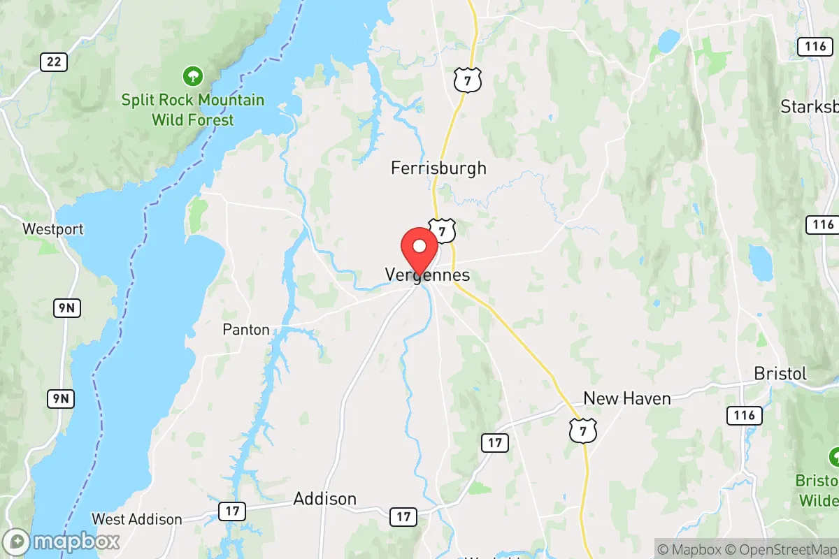
Vergennes, Vermont, offers a compelling strategic position for those prioritizing resilience and self-sufficiency, anchored by its location in the Champlain Valley and its status as a small, independent-minded city. With a population hovering around 2,600, it provides a low-profile base that is far enough from major population centers to avoid the immediate chaos of a collapse, yet close enough to access critical resources if they remain available. The city’s historic independence—it was chartered in 1788 and served as a key supply hub during the War of 1812—reflects a built-in character of self-reliance that aligns with a prepper mindset. For a relocator seeking a defensible, resource-rich area with a conservative-leaning community, Vergennes is a strong candidate, provided you understand its specific risks and advantages.
Geographic position and natural advantages for long-term survival
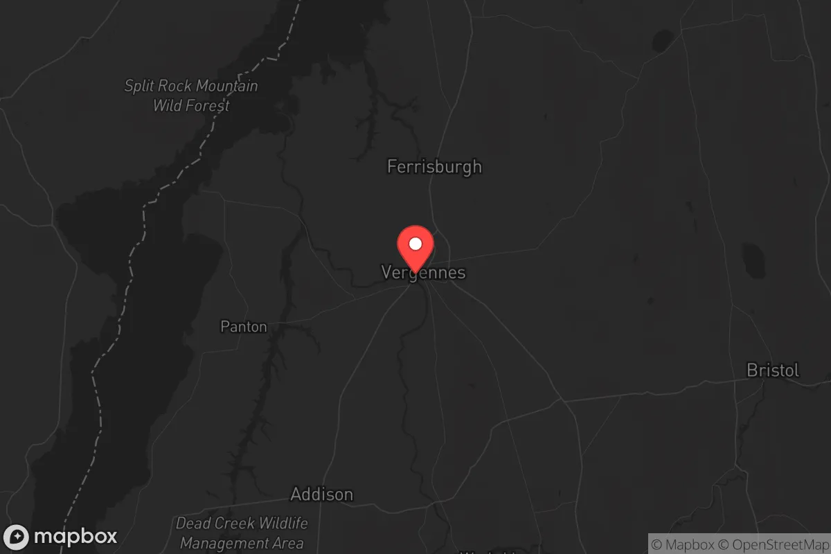
Vergennes sits in the Champlain Valley, a region defined by fertile soils, abundant freshwater, and a moderate climate relative to the rest of Vermont. The city is located on the Otter Creek, which flows into Lake Champlain just a few miles west, providing a reliable water source for drinking, irrigation, and potential hydropower. The surrounding Addison County is one of the most productive agricultural areas in New England, with dairy farms, orchards, and vegetable operations that could sustain a local food system even if supply chains break down. The Green Mountains rise to the east, offering natural barriers that slow movement from the more populated I-89 corridor, while the lake to the west provides a buffer against any approach from New York. This geography creates a natural choke point: the only major routes into the area are US-7 and VT-22A, both of which are easily monitored and, if necessary, defended. The region’s low population density—about 60 people per square mile in Addison County—means fewer competitors for resources in a crisis, and the local culture of hunting, fishing, and small-scale farming means many residents already possess practical survival skills. For a relocator, this is a place where you can realistically establish a semi-self-sufficient homestead with access to wild game, timber, and clean water, all while staying off the radar of larger population centers.
Risks, exposures, and proximity to fallout-relevant landmarks
No strategic assessment is complete without acknowledging the downsides, and Vergennes has several that demand attention. The most significant risk is its proximity to the Vermont Yankee nuclear power plant site in Vernon, about 90 miles south, which is now in decommissioning but still stores spent nuclear fuel on-site. While a catastrophic release is unlikely, the prevailing winds from the south could carry fallout up the Champlain Valley, making Vergennes a potential downwind exposure zone in a worst-case scenario. Additionally, the city lies within 60 miles of the Plattsburgh Air Force Base (now a civilian airport but still a potential target in a conflict) and the Burlington International Airport, which handles military and commercial traffic. In a major conflict, these could become primary targets, and the fallout patterns could affect the entire Champlain Valley. The city itself is not a strategic target—no major military installations, no critical infrastructure—but its location on Lake Champlain means it could become a refuge for people fleeing Burlington (45 minutes north) or Montreal (90 minutes north), especially if those cities experience unrest or disaster. The lake also creates a vulnerability: in a prolonged grid-down scenario, the lake’s shoreline could become a route for displaced populations moving south. Finally, the region’s reliance on a single major highway (US-7) for supply lines means that any disruption—a bridge failure, a landslide, or a deliberate blockade—could isolate the area quickly. For a prepper, these risks are manageable with proper planning, but they require a clear-eyed understanding that no location is truly safe.
Practical resilience for a relocator: food, water, energy, and defensibility
For a relocator focused on practical resilience, Vergennes offers a strong foundation but requires active investment. Water is abundant: the Otter Creek and Lake Champlain provide year-round surface water, and the area’s high water table means shallow wells are viable for most properties. However, surface water requires filtration or boiling in a crisis, and the lake’s proximity to agricultural runoff means you should plan for treatment. Food production is the area’s strongest asset. Addison County’s agricultural base means you can source seeds, livestock, and equipment locally, and the growing season (roughly 120-140 frost-free days) is sufficient for potatoes, squash, beans, and cold-hardy grains. Local farmers’ markets and co-ops, like the Vergennes Farmers Market, provide a network for barter and trade even in normal times. Energy is a mixed picture. The grid is moderately reliable, but winter storms frequently cause outages that can last days. Solar is viable—the valley gets about 160 sunny days per year—but you’ll need battery storage and a backup generator for the long, cloudy winters. Wood heat is the default for many locals, and the surrounding forests provide ample fuel if you have a chainsaw and a splitter. Defensibility is good but not perfect. The city’s compact layout (about 1.5 square miles) means you can establish a perimeter, but the open farmland to the east and south creates sightlines that work both for and against you. The best strategy is to locate on a property with a clear view of approach routes, ideally on a hill or near a natural barrier like a creek. The local community is tight-knit and generally conservative, with a strong tradition of mutual aid—but that also means newcomers are watched closely. Building trust through participation in local events, church groups, or the volunteer fire department is essential for long-term security. For a single individual or family, the key is to arrive with skills, not just supplies: know how to garden, hunt, and repair basic infrastructure, because the local economy won’t support a purely consumer lifestyle in a crisis.
The overall strategic picture for Vergennes is one of cautious optimism for the prepared relocator. It is not a fortress—no place is—but it offers a rare combination of natural resources, low population density, and a community that values self-reliance. The risks from nuclear storage, potential fallout from distant targets, and the possibility of refugee flows from Burlington or Montreal are real, but they are manageable with proper planning: stockpile potassium iodide, establish a cache of supplies at a secondary location east of the mountains, and build relationships with neighbors who share your mindset. The area’s agricultural strength and water abundance make it one of the few places in the Northeast where a family could realistically sustain itself without external support for months or years. For those willing to put in the work—learning to hunt, grow food, and maintain off-grid systems—Vergennes provides a solid base for weathering the storms ahead. Just don’t expect it to be easy; the same isolation that protects you also means you’ll be largely on your own when things go sideways. That’s the trade-off, and for a conservative prepper, it’s probably worth it.
* Values derived from national, state, county, city and local statistics and may differ in a specific area. Last updated: 2026-04-30T14:48:33.000Z
Narrative content on this page is AI-generated and may contain mistakes. Verify any details that matter before acting on them.
ReloMaps may earn a commission from affiliate links at no extra cost to you.