
Photo: Wikipedia
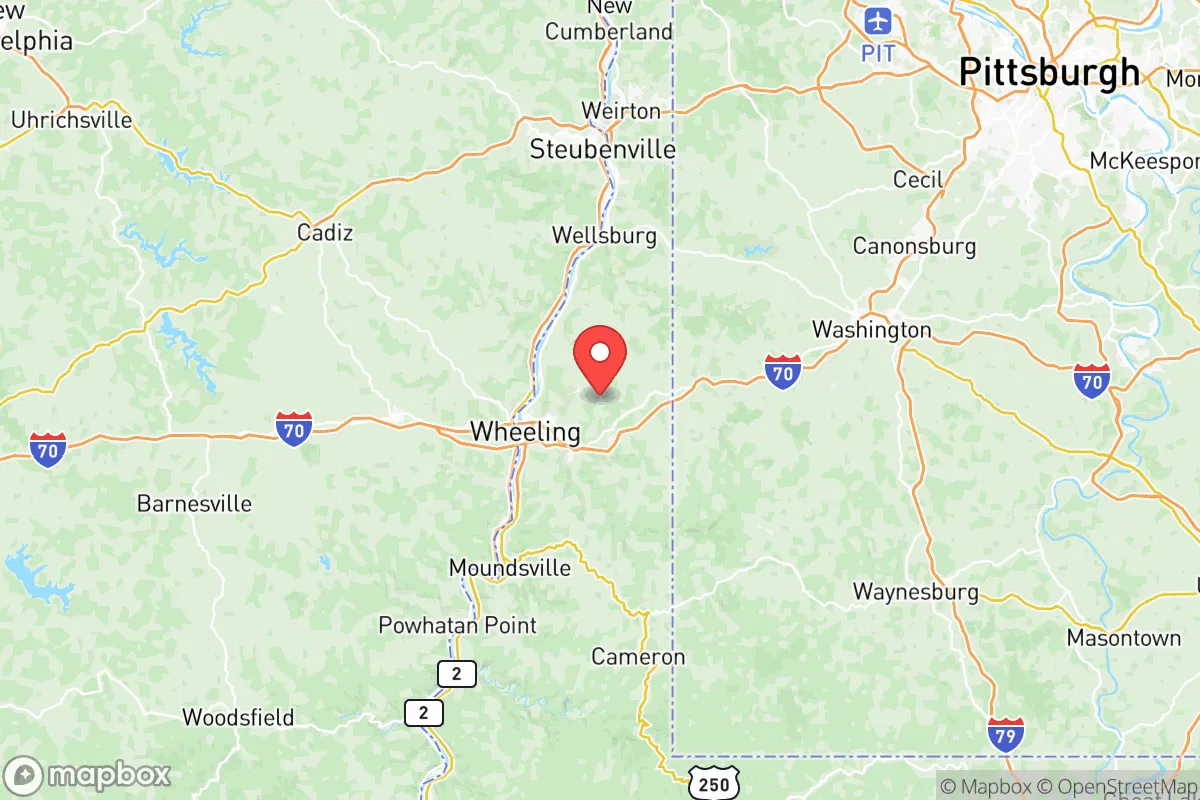
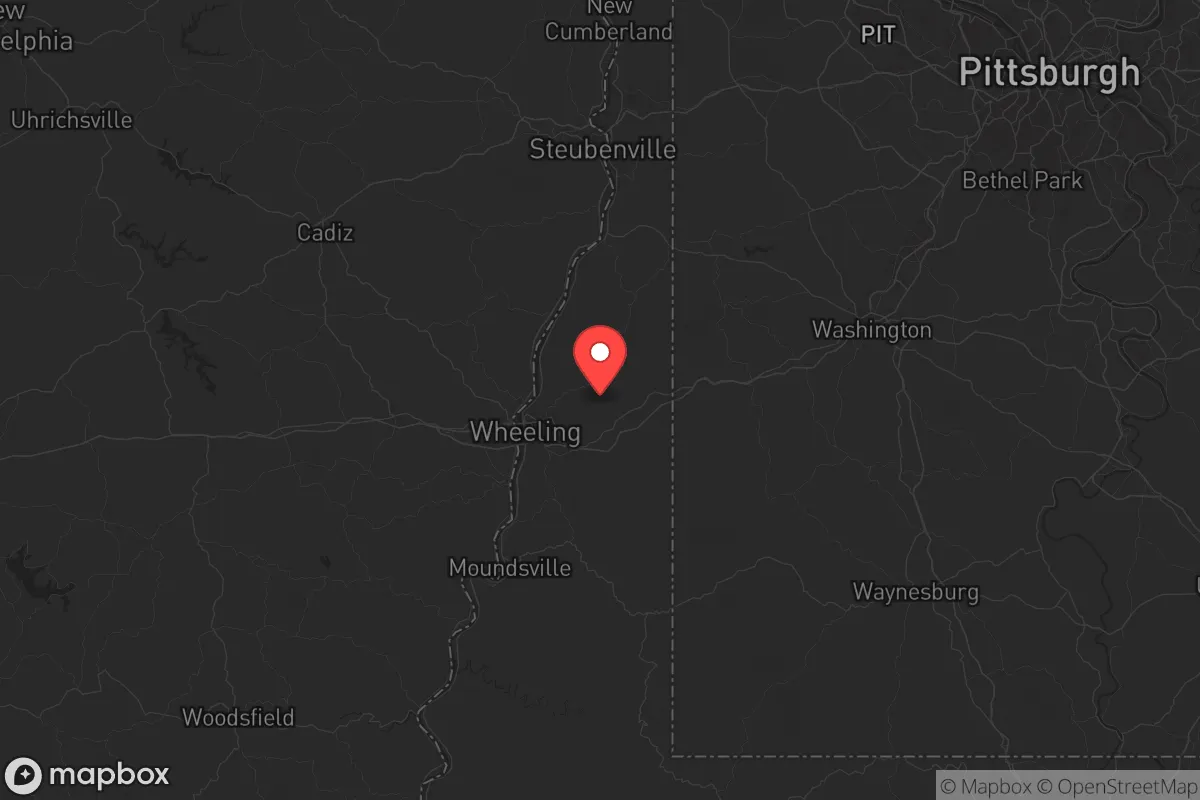
Strategic Assessment of Ohio County
Meaningful friction. Expect exposure to either population pressure, blast zones, or natural disaster risk. Consider buying a retreat property.
What does the Strategic Assessment tell us?
Our Strategic Assessment grades tactical survivability of an area. Major population centers, military targets, fallout zones, natural disasters, and border exposure all drive risk — lower exposure means a more defensible position in a crisis.
This is heavily inspired by Joel Skousen's Strategic Relocation book. Highly recommended you checkout the book ($)What does this tell us?
Our Strategic Assessment grades tactical survivability of an area. Major population centers, military targets, fallout zones, natural disasters, and border exposure all drive risk — lower exposure means a more defensible position in a crisis.
This is heavily inspired by Joel Skousen's Strategic Relocation book. Highly recommended you checkout the book ($)Strategic Pillars

Key Distances
Strategic Assessment Analysis
Ohio County, West Virginia, centered on Wheeling and the Ohio River, offers a strategic position that balances rural defensibility with access to regional resources — a critical calculation for anyone serious about long-term resilience. Sitting roughly 60 miles west of Pittsburgh and 120 miles east of Columbus, the county places you outside the immediate blast radius of a major city strike, yet within a half-day drive of two significant urban centers. The local population of roughly 42,000 provides low density and minimal congestion, while the surrounding Appalachian foothills deliver natural terrain advantages that are hard to find in the flat Midwest. For the conservative relocator weighing civic unrest scenarios or broader national instability, Ohio County deserves a hard look — but only after you account for its specific strengths and liabilities.
Why Ohio County’s Geography and Natural Features Favor a Retreat Strategy
The county’s backbone is the Ohio River, a reliable year-round water source that also functions as a natural barrier to the west. Bluffs and steep ridgelines rise from the river valley, creating choke points and defensible high ground that would make casual movement through the area difficult for any organized threat. The Appalachian Plateau provides forest cover, timber resources, and numerous small creeks and hollows where a prepared individual could establish a low-visibility operation. Winters are cold enough to control disease vectors but not severe enough to make off-grid living unrealistic — average January lows in the low 20s mean you need proper heating but not arctic-grade gear. Coal and natural gas reserves are significant in the broader region, with Marshall County to the south hosting active gas wells, giving the area an energy cushion that many other retreat locations lack. The terrain also limits large-scale troop or vehicle movement; most roads follow valley bottoms, meaning a handful of well-placed observation points could cover the major approaches into Wheeling and the surrounding towns like Bethlehem and Triadelphia.
What Risks and Fallout-Relevant Landmarks Demand Your Attention
The single largest risk is Pittsburgh, located only 60 miles northeast. Given its concentration of corporate headquarters, industrial infrastructure, and the Brentwood radiation site legacy, Pittsburgh qualifies as a medium-to-high-value target in any major conflict or terrorist scenario. A ground burst on the city would put Ohio County in the downwind fallout pattern depending on prevailing westerlies — not a guaranteed hit, but a non-trivial probability. Closer to home, the Ohio River chemical corridor from East Liverpool down to Moundsville contains dozens of industrial facilities storing chlorine, ammonia, and other hazardous materials. A release from any of these plants, whether from accident or sabotage, would make large swaths of the river valley temporarily uninhabitable. The I-70 corridor runs through the county, and while that gives you solid east-west ground transport options, it also means any mass evacuation from Pittsburgh or Columbus will push refugees directly through your area. Less discussed but equally real: the county has seen a steady population decline of roughly 5-7% per decade since 2000, which means existing infrastructure like schools and hospitals are under strain, and you cannot assume robust community emergency services will remain at current staffing levels.
Practical Resilience: What Food, Water, Energy, and Defensibility Look Like in Ohio County
Water is your strongest card. The Ohio River is a massive, perennial source, and the underlying Monongahela aquifer supports wells across the county — most rural properties in areas like West Liberty and Clearview already run on private wells, so you won't stand out by drilling one. Filtration and purification gear is essential, but the raw water availability puts you ahead of most locations in the arid West or over-drawn plains. Food is more challenging. The county has some small-scale farming, mostly hay, corn, and livestock in the eastern part near Triadelphia, but it is not a net food producer — you'd need to establish your own gardens, secure hunting access on the 30,000 acres of Wayne National Forest just across the river in Ohio, or build relationships with local farmers before a crisis. Energy resilience is reasonable: the region sits atop the Marcellus Shale gas formation, and many properties can be retrofitted for propane home heating and backup generation. Coal is still mined regionally, and a prepared household can stockpile solid fuel without drawing attention. Defensibility comes down to terrain. The steep, wooded hills separating the river bottoms from the upland plateaus create natural compartmentalization — you can secure a ridge-line homestead with good fields of fire and limited approach vectors. The scattered settlement pattern means you can maintain privacy and avoid the kind of dense suburban neighborhoods that become liabilities during unrest. Community-wise, the region has a strong hunting and
* Values derived from national, state, county, city and local statistics and may differ in a specific area. Last updated: 2026-06-03T16:09:52.000Z
Narrative content on this page is AI-generated and may contain mistakes. Verify any details that matter before acting on them.
ReloMaps may earn a commission from affiliate links at no extra cost to you.