
Photo: Wikipedia
Strategic Assessment of Atchison, KS
Workable tactical position. Some exposure to population density or targets, but generally defensible in a crisis.
What does the Strategic Assessment tell us?
Our Strategic Assessment grades tactical survivability of an area. Major population centers, military targets, fallout zones, natural disasters, and border exposure all drive risk — lower exposure means a more defensible position in a crisis.
This is heavily inspired by Joel Skousen's Strategic Relocation book. Highly recommended you checkout the book ($)What does this tell us?
Our Strategic Assessment grades tactical survivability of an area. Major population centers, military targets, fallout zones, natural disasters, and border exposure all drive risk — lower exposure means a more defensible position in a crisis.
This is heavily inspired by Joel Skousen's Strategic Relocation book. Highly recommended you checkout the book ($)Strategic Pillars

Key Distances
Regional Safe Places
Below is our recommended "safe zones" in Kansas and the surrounding area based on our strategic heuristics. For most people, it's unrealistic to live in a “safe zone” full-time due to work, family or other personal reasons. They tend to be more rural. However, many of these areas are perfect for second homes and retreat properties that double as a vacation home or even a short-term rental.
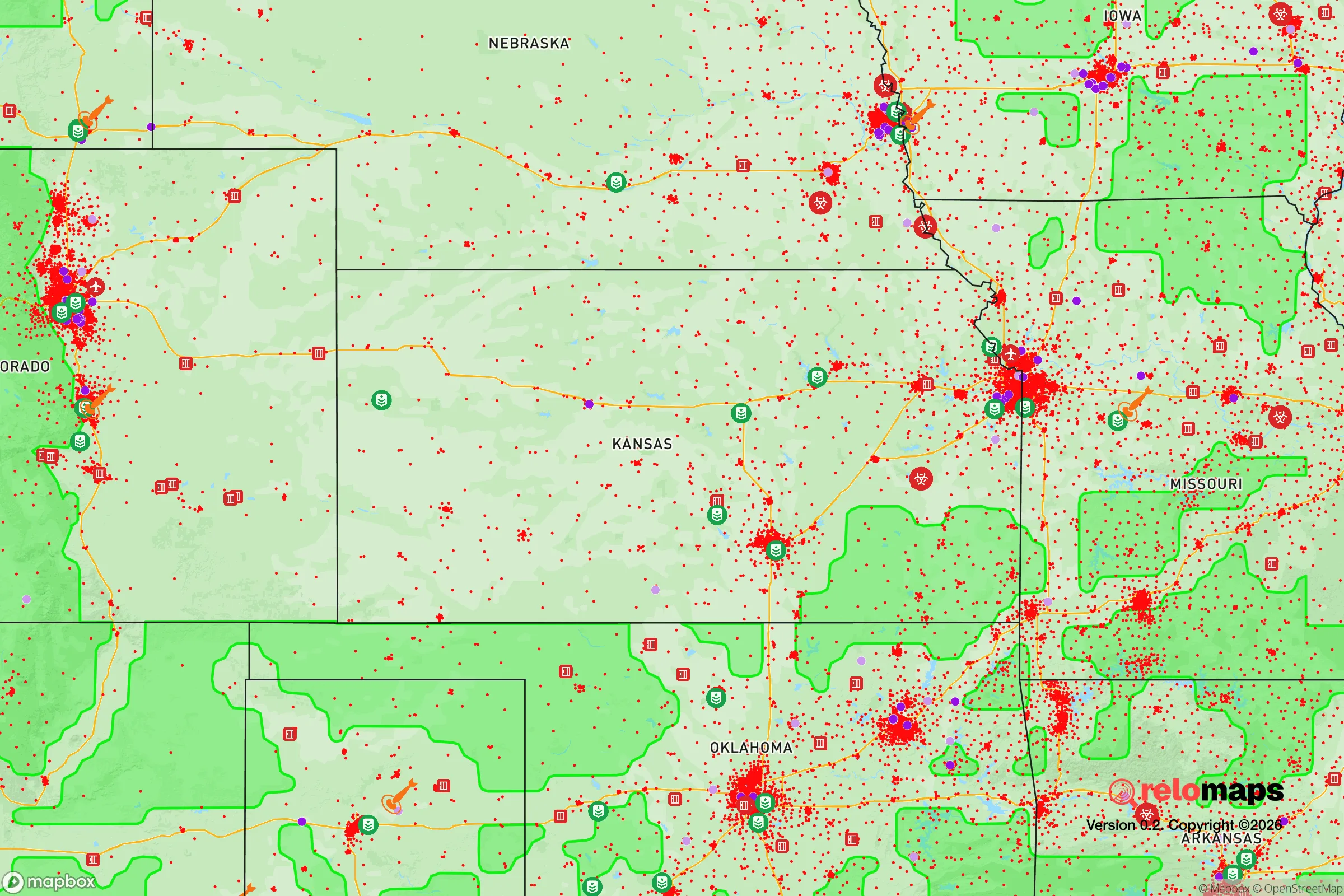
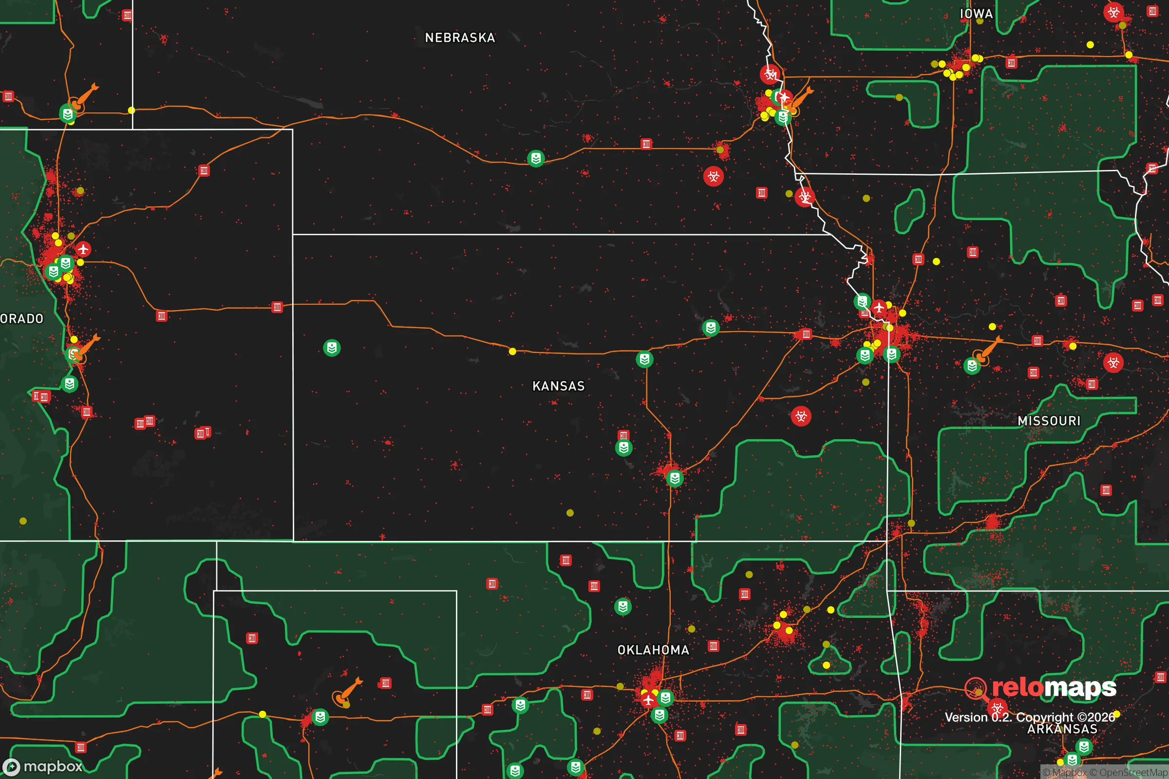
Important Note: For informational purposes only. This does not mean nothing bad ever happens in the green zones. Please use common sense. This is based on public data and modeled with AI. We tried to take a conservative approach but mistakes happen. We update this regularly as new information becomes available.
Solar Generator Recommendations
Backup power matters more here than in safer locations. We've picked three solar generators across budgets and capacity tiers — start with the budget unit if you only need a few essentials, or step up if you want to run a fridge and HVAC for days at a time.

Jackery Portable Power Station Explorer 300
Budget OptionPower on the Go: Weighing only 11 lbs, it's convenient to set up and store with book-sized foldable solar panels

BLUETTI Portable Power Station AC180
Designed for both indoor and outdoor scenarios, AC180 is highly capable as it has a robost capacity and continuous output power.

EF ECOFLOW DELTA Pro Ultra Power Station
Upgraded PickEcoFlow DELTA Pro Ultra is a whole-home energy system designed to grow with your family. Integrated with the Smart Home Panel 2, it scales to meet your evolving energy needs — keeping your home powered, intelligent, and secure through every stage of life.
We earn a commission, at no additional cost to you.
Strategic Assessment Analysis
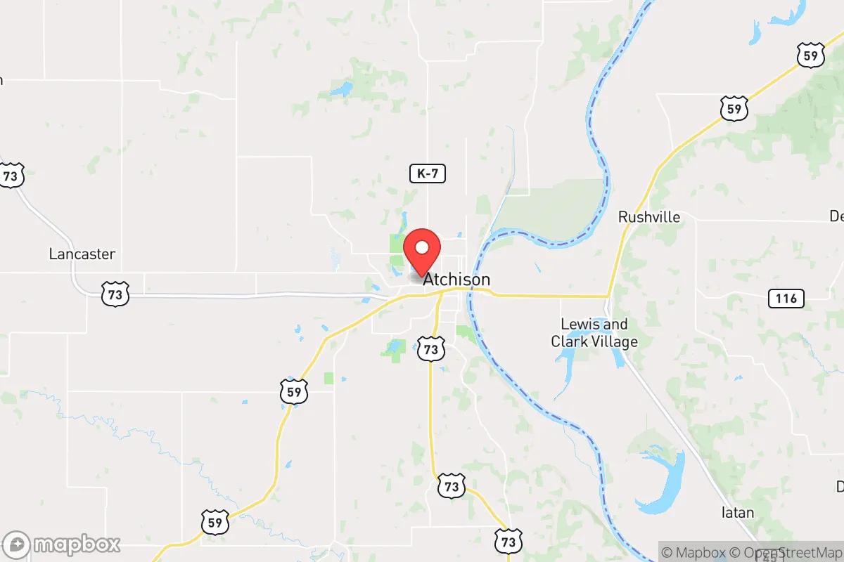
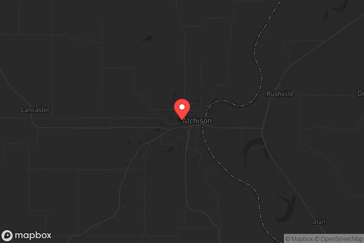
Atchison, Kansas, sits on a bluff overlooking the Missouri River, roughly 45 miles northwest of Kansas City, and its strategic value for a prepper or survivalist lies in a paradox: it’s close enough to a major metro to access resources, but far enough to avoid the worst of a collapse scenario. The town’s population hovers around 10,500, and its economy has historically leaned on manufacturing, agriculture, and Benedictine College, giving it a stable, small-town backbone. For someone looking to relocate with an eye on resilience, Atchison offers a mix of geographic isolation, river access, and a conservative-leaning community that doesn’t panic easily—but it’s not without real exposure risks that demand a sober assessment.
Geographic position and natural advantages for long-term survival
Atchison’s location is its strongest card. Perched on the western bank of the Missouri River, it sits in the fertile Missouri River Valley, which means reliable water access and rich soil for subsistence farming—both non-negotiable in a long-term grid-down scenario. The surrounding terrain is a mix of rolling hills and bluffs, offering natural defensibility: you can see threats coming from miles away on the open plains, and the river itself acts as a barrier to the east. The area is part of the Kansas City metropolitan statistical area, but Atchison County itself is rural, with a population density of about 30 people per square mile. That’s low enough to avoid the chaos of urban flight, but high enough to maintain a functional community for barter and mutual aid. The climate is temperate, with four distinct seasons, meaning you can grow a wide range of crops—corn, soybeans, wheat—and the river moderates temperature extremes slightly. For a relocator, the key advantage is that Atchison isn’t a strategic target: no major military bases, no nuclear plants within 50 miles, and no major interstate highways running through it. It’s a quiet backwater that could stay quiet when the lights go out.
Risks, exposures, and proximity to fallout-relevant landmarks
The flip side is that Atchison isn’t immune to the dangers of a fractured nation. The biggest risk is its proximity to Kansas City—a major transportation hub with Interstate 35, Interstate 70, and a major rail yard. In a mass casualty event or civil unrest, that metro area of 2.2 million people could become a source of refugee flow, looting parties, or disease vectors. Atchison sits just 45 miles from the city center, which is close enough that a determined group could reach it in under an hour by vehicle. The Missouri River also runs north-south through the region, and while it’s a resource, it’s also a natural corridor for movement—both friendly and hostile. There are no nuclear power plants within a 100-mile radius (the nearest is Wolf Creek in Burlington, KS, about 120 miles southwest), but the area does have rail lines carrying hazardous materials, including crude oil and chemicals, through the town. A derailment or sabotage event could contaminate the river or soil. Additionally, Atchison is in Tornado Alley, with an average of 12 tornadoes per year in the county. While that’s a natural risk, it’s manageable with a proper storm shelter—something any prepper should already have. The bigger concern is that the town’s infrastructure is aging: the water treatment plant and electrical grid are vulnerable to both natural disasters and targeted attacks. If you’re looking for a place that’s completely off the radar, Atchison isn’t it—but it’s far enough from the blast zones of major cities to give you a fighting chance.
Practical resilience for a relocator: food, water, energy, and defensibility
For a single individual or family moving here, the practical day-to-day resilience is solid but requires work. Water is the easiest win: the Missouri River is a year-round source, but you’ll need a filtration system capable of handling silt, agricultural runoff, and potential chemical contamination. The city’s municipal water comes from the river, so in a grid-down scenario, you’re on your own—plan for a well or a river pump with a high-quality filter like a Berkey or a sand-and-charcoal setup. Food is abundant if you’re willing to work: the surrounding farmland produces corn, soybeans, and livestock, and there are local farmers’ markets and co-ops (like the Atchison Farmers Market) that can serve as supply lines before SHTF. For long-term storage, the area has a low humidity index, which helps with dry goods. Energy is a mixed bag: the grid is reliable in normal times, but the region is prone to ice storms that can knock out power for days. Solar is viable—the area gets about 200 sunny days per year—but you’ll need battery storage and a backup generator for winter. Defensibility is where Atchison shines for a prepared relocator. The bluffs overlooking the river provide natural high ground, and many older homes in the area have basements or cellars that can be reinforced. The town itself is compact, with a walkable downtown, so you can establish a perimeter if needed. The local population is predominantly conservative, with a strong Catholic presence from Benedictine College, meaning community values lean toward self-reliance and mutual aid—not the kind of place where people will loot your supplies on day one. That said, don’t expect a prepper paradise: the county sheriff’s office has about 20 deputies, so law enforcement response times in rural areas can be 20-30 minutes. You’ll need to be your own first responder.
The overall strategic picture for Atchison is that it’s a solid B+ option for a relocator with a survivalist mindset. It’s not a remote mountain redoubt—you’re still within striking distance of a major city, and the river brings both opportunity and risk. But for someone who wants a community that won’t collapse into chaos at the first sign of trouble, with access to water, farmland, and defensible terrain, it’s a realistic choice. The key is to treat it as a base of operations, not a fortress: build relationships with neighbors, stockpile supplies for at least six months, and have a plan for bugging out if Kansas City’s problems spill over. If you’re looking for a place that balances isolation with practicality, Atchison deserves a serious look—just don’t expect it to be a secret forever.
* Values derived from national, state, county, city and local statistics and may differ in a specific area. Last updated: 2026-05-01T14:27:16.000Z
Narrative content on this page is AI-generated and may contain mistakes. Verify any details that matter before acting on them.
ReloMaps may earn a commission from affiliate links at no extra cost to you.