Photo: Wikipedia
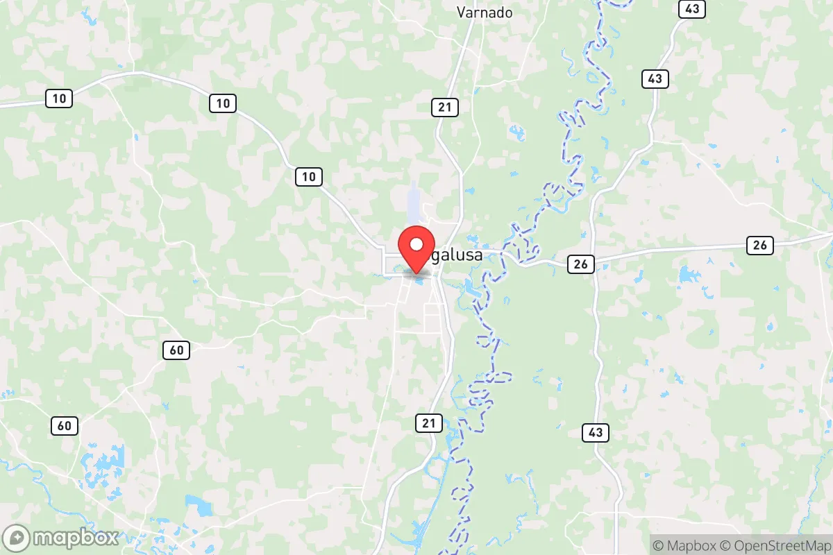
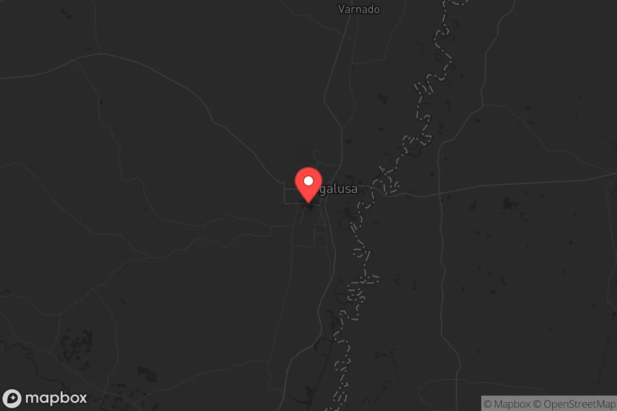
Strategic Assessment of Bogalusa, LA
Workable tactical position. Some exposure to population density or targets, but generally defensible in a crisis.
What does the Strategic Assessment tell us?
Our Strategic Assessment grades tactical survivability of an area. Major population centers, military targets, fallout zones, natural disasters, and border exposure all drive risk — lower exposure means a more defensible position in a crisis.
This is heavily inspired by Joel Skousen's Strategic Relocation book. Highly recommended you checkout the book ($)What does this tell us?
Our Strategic Assessment grades tactical survivability of an area. Major population centers, military targets, fallout zones, natural disasters, and border exposure all drive risk — lower exposure means a more defensible position in a crisis.
This is heavily inspired by Joel Skousen's Strategic Relocation book. Highly recommended you checkout the book ($)Strategic Pillars

Key Distances
Regional Safe Places
Below is our recommended "safe zones" in Louisiana and the surrounding area based on our strategic heuristics. For most people, it's unrealistic to live in a “safe zone” full-time due to work, family or other personal reasons. They tend to be more rural. However, many of these areas are perfect for second homes and retreat properties that double as a vacation home or even a short-term rental.

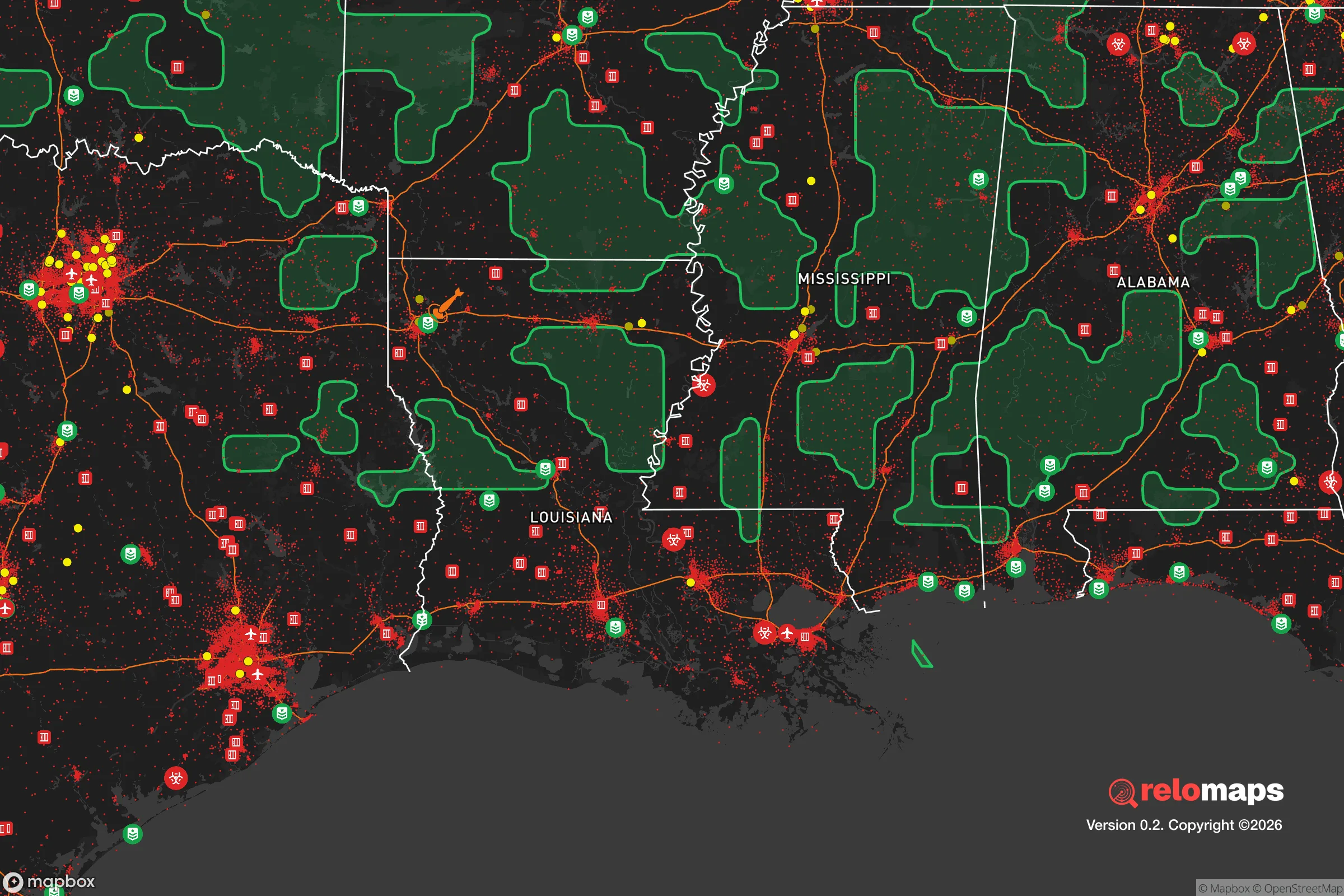
Important Note: For informational purposes only. This does not mean nothing bad ever happens in the green zones. Please use common sense. This is based on public data and modeled with AI. We tried to take a conservative approach but mistakes happen. We update this regularly as new information becomes available.
Solar Generator Recommendations
Backup power matters more here than in safer locations. We've picked three solar generators across budgets and capacity tiers — start with the budget unit if you only need a few essentials, or step up if you want to run a fridge and HVAC for days at a time.

Jackery Portable Power Station Explorer 300
Budget OptionPower on the Go: Weighing only 11 lbs, it's convenient to set up and store with book-sized foldable solar panels

BLUETTI Portable Power Station AC180
Designed for both indoor and outdoor scenarios, AC180 is highly capable as it has a robost capacity and continuous output power.

EF ECOFLOW DELTA Pro Ultra Power Station
Upgraded PickEcoFlow DELTA Pro Ultra is a whole-home energy system designed to grow with your family. Integrated with the Smart Home Panel 2, it scales to meet your evolving energy needs — keeping your home powered, intelligent, and secure through every stage of life.
We earn a commission, at no additional cost to you.
Strategic Assessment Analysis
Bogalusa, Louisiana, sits in a strategic pocket of Washington Parish that offers genuine resilience advantages for those thinking seriously about long-term preparedness. Its location — roughly 45 miles north of Lake Pontchartrain and 70 miles northeast of New Orleans — places it far enough from major urban centers to avoid the worst of any cascading collapse, yet close enough to access Gulf Coast supply chains if they remain functional. The city’s population hovers around 10,000, small enough to avoid the chaos of a major metro but large enough to maintain basic infrastructure like a hospital, police presence, and a working water system. For a relocator with a prepper mindset, Bogalusa represents a middle ground: not a remote bunker, but a defensible small town with real geographic buffers.
Geographic position and natural buffers against urban collapse
Bogalusa sits on the Pearl River, which forms the Louisiana-Mississippi border and provides a natural barrier to the east. The surrounding landscape is dominated by the Pearl River Basin and the Bogue Chitto National Wildlife Refuge — thousands of acres of swamp, hardwood forest, and bottomland that make large-scale movement through the area difficult. To the north, the Honey Island Swamp adds another layer of natural obstruction. These features work in a relocator’s favor: any organized threat or looters coming from the Interstate 10 corridor or the New Orleans metro would have to navigate limited road access. The primary routes in and out are Louisiana Highway 21 (north-south) and Louisiana Highway 10 (east-west), both two-lane roads that can be monitored or blocked with minimal effort. The city’s position also places it outside the direct blast or fallout zones of any major military or industrial targets — no nuclear power plants, no major military bases, no chemical weapons depots within a 50-mile radius. The nearest significant infrastructure risk is the Pascagoula shipyard in Mississippi, about 60 miles southeast, which builds Navy vessels and could be a target in a major conflict. But prevailing winds in the region run from the south and southeast, meaning fallout from such a strike would push inland toward Hattiesburg, not toward Bogalusa.
Risks, exposures, and proximity to fallout-relevant landmarks
No location is without vulnerabilities, and Bogalusa has several that a serious prepper must account for. The most immediate natural threat is flooding. The city sits in a floodplain of the Pearl River, and Hurricane Katrina in 2005 put large portions of Bogalusa under water. Any long-term resilience plan here must include elevation — either building on high ground or having a second-story refuge. The city’s drainage infrastructure is aging, and heavy rain events are becoming more frequent. On the man-made risk side, Bogalusa is within 100 miles of the Louisiana Chemical Corridor (aka Cancer Alley) between Baton Rouge and New Orleans, which contains dozens of refineries and chemical plants. A coordinated attack on that corridor could release toxic clouds, though Bogalusa’s prevailing winds again offer some protection — the corridor is south and west, and the Pearl River basin’s tree canopy would help disperse airborne contaminants. More concerning is the Interstate 12 corridor about 30 miles south, a major evacuation route that would become a chokepoint during any regional disaster. If New Orleans or the Gulf Coast were evacuated, Bogalusa would see a surge of refugees passing through on Highway 21. The city’s police force is small — roughly 30 officers — and would be overwhelmed in a mass migration event. For a relocator, this means defensible property placement is critical: avoid being on the main drag, and ensure your property has a secondary exit route, ideally via a logging road or river access.
Practical resilience for a relocator: food, water, energy, and defensibility
Bogalusa’s practical resilience profile is mixed but workable. Water is the strongest asset: the Pearl River and its tributaries provide abundant surface water, and the area’s high water table means shallow wells are viable. The city’s municipal water comes from the Pearl River aquifer, but a prepper should plan for a hand-pump or solar-powered well on their own land. Food is a challenge. Washington Parish is not prime agricultural land — the soil is sandy and acidic, better for pine trees than row crops. Local food production would require raised beds, greenhouses, or hunting. The parish has a strong deer population, and the Pearl River basin supports wild hog, turkey, and waterfowl. Fishing in the river and nearby Bogue Chitto is reliable. For long-term food storage, Bogalusa’s humid subtropical climate (average 60 inches of rain per year) makes dry storage difficult — mold and rot are constant enemies. A prepper here needs airtight, climate-controlled storage. Energy is a weak point. The local grid is served by Washington-St. Tammany Electric Cooperative, which has a history of outages during storms. Solar is viable — the area gets about 215 sunny days per year — but trees are dense, so clearing a southern exposure is necessary. Propane backup is common among locals. Defensibility depends entirely on property selection. The ideal setup is a parcel with a long, single-lane driveway, surrounded by timberland or swamp, with a clear field of fire to the road. The local culture is hunting-oriented, so gun ownership is normal and a firearm for defense won’t draw unwanted attention. The nearest National Guard armory is in Bogalusa itself, which could be a double-edged sword — it means a military presence during emergencies, but also a potential target. The local hospital, Our Lady of the Angels, is a 100-bed facility that would be a critical asset in a crisis, but it’s also a single point of failure. A serious medical emergency would require evacuation to Hattiesburg (60 miles north) or Covington (40 miles south), both of which have Level II trauma centers.
Overall, Bogalusa offers a strategic picture that rewards careful planning but punishes complacency. Its natural buffers and distance from major targets make it a viable retreat for someone who wants to be out of the blast radius but not completely off the grid. The trade-offs are real: flood risk, limited local food production, and vulnerability to refugee surges from the south. For a conservative-leaning relocator who values community, self-reliance, and a low-profile lifestyle, Bogalusa is a solid B-tier option — not a paradise, but a place where a prepared individual can build a defensible, sustainable life without the extreme isolation of a mountain bunker. The key is to arrive with a plan, not just a dream. Secure your water source, elevate your home, stock your pantry, and get to know your neighbors — because in a real crisis, the people on your road will matter more than any government response.
* Values derived from national, state, county, city and local statistics and may differ in a specific area. Last updated: 2026-05-01T13:51:23.000Z
Narrative content on this page is AI-generated and may contain mistakes. Verify any details that matter before acting on them.
ReloMaps may earn a commission from affiliate links at no extra cost to you.