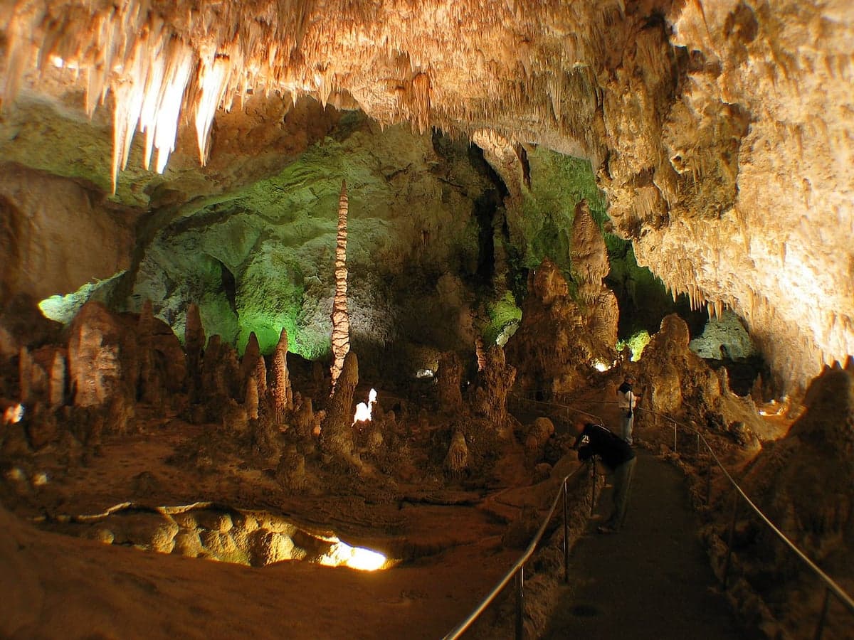
Photo: Wikipedia
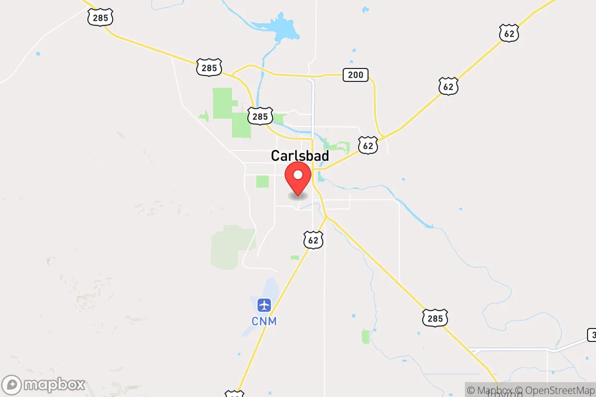
Strategic Assessment of Carlsbad, NM
Workable tactical position. Some exposure to population density or targets, but generally defensible in a crisis.
What does the Strategic Assessment tell us?
Our Strategic Assessment grades tactical survivability of an area. Major population centers, military targets, fallout zones, natural disasters, and border exposure all drive risk — lower exposure means a more defensible position in a crisis.
This is heavily inspired by Joel Skousen's Strategic Relocation book. Highly recommended you checkout the book ($)What does this tell us?
Our Strategic Assessment grades tactical survivability of an area. Major population centers, military targets, fallout zones, natural disasters, and border exposure all drive risk — lower exposure means a more defensible position in a crisis.
This is heavily inspired by Joel Skousen's Strategic Relocation book. Highly recommended you checkout the book ($)Strategic Pillars

Key Distances
Regional Safe Places
Below is our recommended "safe zones" in New Mexico and the surrounding area based on our strategic heuristics. For most people, it's unrealistic to live in a “safe zone” full-time due to work, family or other personal reasons. They tend to be more rural. However, many of these areas are perfect for second homes and retreat properties that double as a vacation home or even a short-term rental.

Important Note: For informational purposes only. This does not mean nothing bad ever happens in the green zones. Please use common sense. This is based on public data and modeled with AI. We tried to take a conservative approach but mistakes happen. We update this regularly as new information becomes available.
Solar Generator Recommendations
Backup power matters more here than in safer locations. We've picked three solar generators across budgets and capacity tiers — start with the budget unit if you only need a few essentials, or step up if you want to run a fridge and HVAC for days at a time.

Jackery Portable Power Station Explorer 300
Budget OptionPower on the Go: Weighing only 11 lbs, it's convenient to set up and store with book-sized foldable solar panels

BLUETTI Portable Power Station AC180
Designed for both indoor and outdoor scenarios, AC180 is highly capable as it has a robost capacity and continuous output power.

EF ECOFLOW DELTA Pro Ultra Power Station
Upgraded PickEcoFlow DELTA Pro Ultra is a whole-home energy system designed to grow with your family. Integrated with the Smart Home Panel 2, it scales to meet your evolving energy needs — keeping your home powered, intelligent, and secure through every stage of life.
We earn a commission, at no additional cost to you.
Strategic Assessment Analysis
Carlsbad, New Mexico, sits in a unique strategic pocket that offers genuine resilience advantages for those thinking about long-term preparedness. Its location in the southeastern corner of the state, roughly 75 miles from the Texas border and 140 miles from El Paso, places it far from major population centers like Albuquerque (300+ miles) or Dallas (400+ miles), which means you’re well outside the immediate fallout zone of a major urban collapse or mass casualty event. The area’s economic backbone—potash mining, oil and gas (Permian Basin), and the federal presence at the Waste Isolation Pilot Plant (WIPP)—gives it a hardscrabble, working-class character that tends to attract folks who value self-reliance over government dependency. For a conservative-leaning relocator, Carlsbad offers a blend of geographic isolation, resource wealth, and a community culture that doesn’t flinch at hard times, but it’s not without its own exposures that demand a clear-eyed assessment.
Geographic position and natural advantages for long-term survival
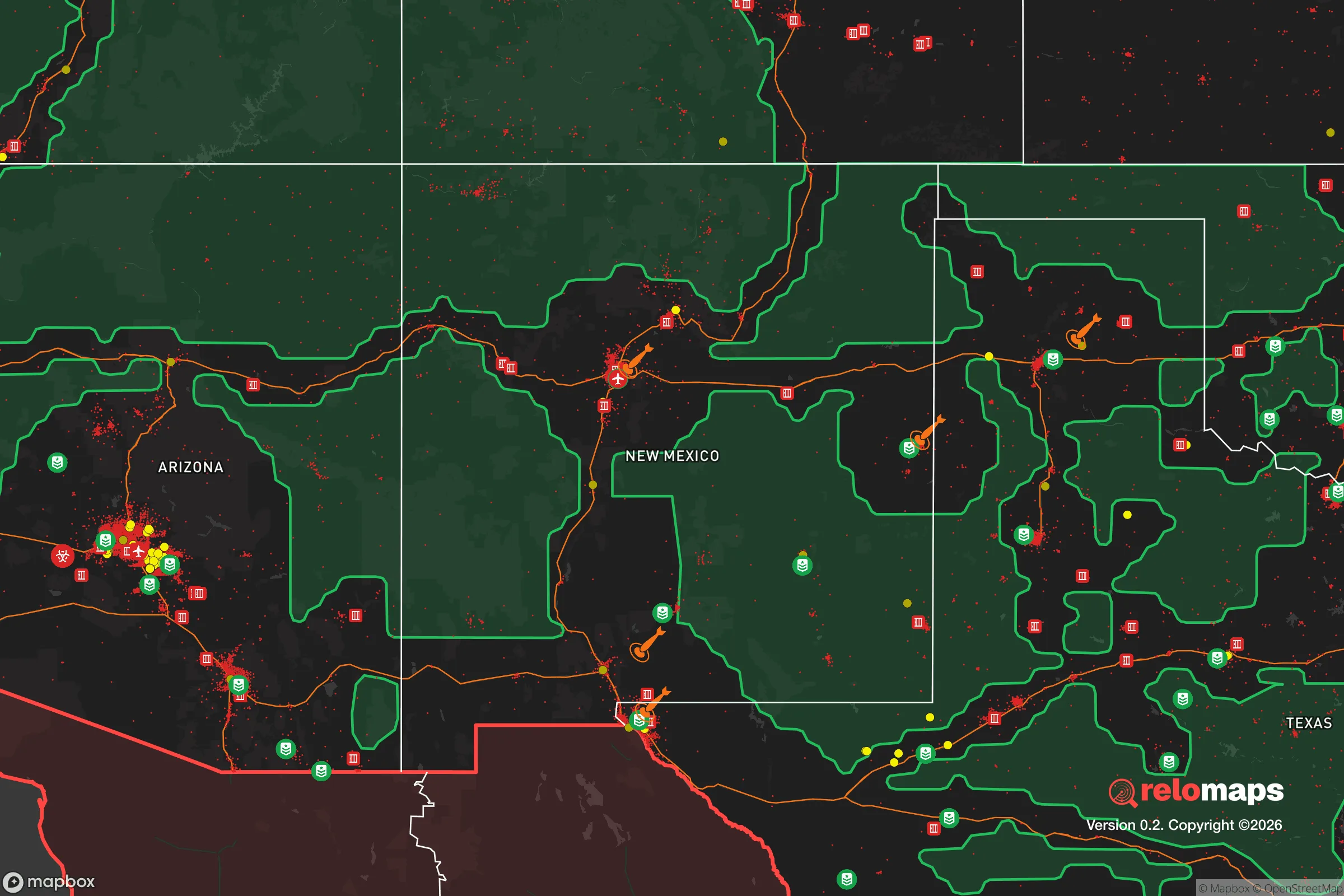
Carlsbad’s primary strategic asset is its position within the Permian Basin, one of the most energy-rich regions in the United States. The area sits atop the Delaware Basin sub-play, which means abundant natural gas and oil reserves are literally underfoot, and local infrastructure for extraction and processing is mature. For a prepper, this translates to energy security—natural gas for heating, cooking, and even electricity generation via a backup generator is readily available and relatively cheap compared to most of the country. The Pecos River runs through town, providing a perennial surface water source, though it’s not a massive river; in a drought scenario, it’s reliable but not inexhaustible. The surrounding landscape is arid high desert, which means water conservation and storage are non-negotiable for anyone serious about self-sufficiency. The terrain is mostly flat to gently rolling, with the Guadalupe Mountains about 50 miles to the southwest—offering potential bug-out or retreat options if things go sideways. The climate is dry, with low humidity that reduces mold and decay in stored supplies, and the area sees about 280 sunny days per year, which is excellent for solar panel efficiency. Carlsbad Caverns National Park, just 20 miles southwest, is a notable landmark, but its value in a survival context is limited—it’s a tourist draw, not a defensible position. The real advantage is the low population density of Eddy County (about 55,000 people total), which means less competition for resources in a crisis compared to suburban sprawl.
Risks, exposures, and proximity to fallout-relevant landmarks
No strategic assessment is honest without addressing the elephant in the room: Carlsbad is home to the Waste Isolation Pilot Plant (WIPP), a federal deep-geologic repository for transuranic nuclear waste from defense programs. That’s a double-edged sword. On one hand, WIPP brings federal jobs and infrastructure—about 1,200 employees—and the facility has operated since 1999 with a solid safety record, despite a 2014 radiological release that contaminated part of the mine (no off-site impacts). On the other hand, a major incident at WIPP—whether from accident, sabotage, or natural disaster—could render the immediate area uninhabitable for decades. The site is 26 miles southeast of Carlsbad, which puts the town outside the most likely immediate danger zone, but prevailing winds could carry contamination. For a prepper, this is a calculated risk: the probability of a catastrophic release is low, but the consequences are severe. Beyond WIPP, Carlsbad is about 140 miles from the U.S.-Mexico border, which in a collapse scenario could mean increased northbound traffic or smuggling activity. The area is also within 200 miles of the Permian Basin’s oil and gas infrastructure, which is a target for potential sabotage or civil unrest. There are no major military bases nearby (Holloman AFB is 120 miles west), which reduces the risk of being near a kinetic target but also means no quick federal response. Earthquake risk is negligible, and tornadoes are rare in this part of New Mexico, but flash flooding in the Pecos River valley is a real hazard during monsoon season—so don’t build your retreat in a floodplain.
Practical resilience for a relocator: food, water, energy, and defensibility
For a single individual or family looking to hunker down, Carlsbad offers a mixed bag. Water is the biggest vulnerability: the area averages only 12 inches of rain per year, and the local aquifer (the Ogallala, via the Capitan Reef) is being drawn down by agriculture and industry. You cannot rely on municipal water in a prolonged grid-down scenario—you’ll need a well, rainwater catchment, or a reliable surface water plan. The Pecos River is a viable source, but it’s also used for irrigation and is subject to upstream diversions. For food, the local growing season is about 200 days, but the soil is alkaline and sandy; raised beds with imported soil and drip irrigation are the way to go. The area has a strong agricultural tradition—pecans, alfalfa, and cattle—so local farmers’ markets and bulk food suppliers are available, but don’t expect year-round produce without serious effort. Energy is a bright spot: solar is excellent here, and natural gas is cheap and abundant. A dual-fuel generator with a 500-gallon propane tank or a natural gas hookup will keep the lights on and the fridge running. For defensibility, Carlsbad’s layout is a double-edged sword. The town is spread out along the Pecos, with a mix of older neighborhoods and newer subdivisions. Rural acreage outside city limits is the better bet—think 10+ acres with good sightlines and a well. The local culture is gun-friendly (New Mexico is a shall-issue state for concealed carry, and open carry is legal), and the sheriff’s office is responsive but small. In a collapse, you’re largely on your own, which is exactly what a prepper wants, but it also means you need to be self-sufficient for at least 30-60 days before any help arrives. The nearest Level 1 trauma center is in Lubbock, Texas (120 miles east), so medical emergencies are a serious concern—stock up on trauma kits and know basic field medicine.
Overall, Carlsbad presents a compelling but not risk-free strategic picture for the conservative prepper. Its isolation from major cities, energy wealth, and low population density are genuine advantages in a world where urban centers are increasingly unstable. The WIPP factor is a wildcard that requires personal risk tolerance, and the arid climate demands serious water planning. For someone willing to invest in infrastructure—well, solar, storage, and a defensible property—Carlsbad offers a solid foundation for riding out the storm. It’s not a paradise, and it’s not for everyone, but for those who value hard work, self-reliance, and a community that doesn’t panic at the first sign of trouble, it’s worth a hard look. Just don’t expect to be rescued; in Carlsbad, you’re the one who does the rescuing.
* Values derived from national, state, county, city and local statistics and may differ in a specific area. Last updated: 2026-04-24T19:34:25.000Z
Narrative content on this page is AI-generated and may contain mistakes. Verify any details that matter before acting on them.
ReloMaps may earn a commission from affiliate links at no extra cost to you.