Photo: Wikipedia
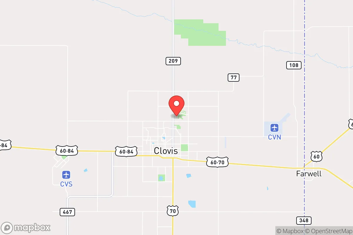
Strategic Assessment of Clovis, NM
Workable tactical position. Some exposure to population density or targets, but generally defensible in a crisis.
What does the Strategic Assessment tell us?
Our Strategic Assessment grades tactical survivability of an area. Major population centers, military targets, fallout zones, natural disasters, and border exposure all drive risk — lower exposure means a more defensible position in a crisis.
This is heavily inspired by Joel Skousen's Strategic Relocation book. Highly recommended you checkout the book ($)What does this tell us?
Our Strategic Assessment grades tactical survivability of an area. Major population centers, military targets, fallout zones, natural disasters, and border exposure all drive risk — lower exposure means a more defensible position in a crisis.
This is heavily inspired by Joel Skousen's Strategic Relocation book. Highly recommended you checkout the book ($)Strategic Pillars

Key Distances
Regional Safe Places
Below is our recommended "safe zones" in New Mexico and the surrounding area based on our strategic heuristics. For most people, it's unrealistic to live in a “safe zone” full-time due to work, family or other personal reasons. They tend to be more rural. However, many of these areas are perfect for second homes and retreat properties that double as a vacation home or even a short-term rental.

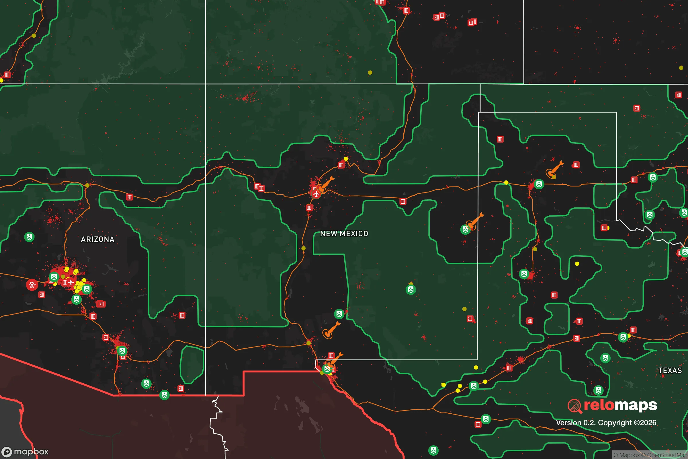
Important Note: For informational purposes only. This does not mean nothing bad ever happens in the green zones. Please use common sense. This is based on public data and modeled with AI. We tried to take a conservative approach but mistakes happen. We update this regularly as new information becomes available.
Solar Generator Recommendations
Backup power matters more here than in safer locations. We've picked three solar generators across budgets and capacity tiers — start with the budget unit if you only need a few essentials, or step up if you want to run a fridge and HVAC for days at a time.

Jackery Portable Power Station Explorer 300
Budget OptionPower on the Go: Weighing only 11 lbs, it's convenient to set up and store with book-sized foldable solar panels

BLUETTI Portable Power Station AC180
Designed for both indoor and outdoor scenarios, AC180 is highly capable as it has a robost capacity and continuous output power.

EF ECOFLOW DELTA Pro Ultra Power Station
Upgraded PickEcoFlow DELTA Pro Ultra is a whole-home energy system designed to grow with your family. Integrated with the Smart Home Panel 2, it scales to meet your evolving energy needs — keeping your home powered, intelligent, and secure through every stage of life.
We earn a commission, at no additional cost to you.
Strategic Assessment Analysis
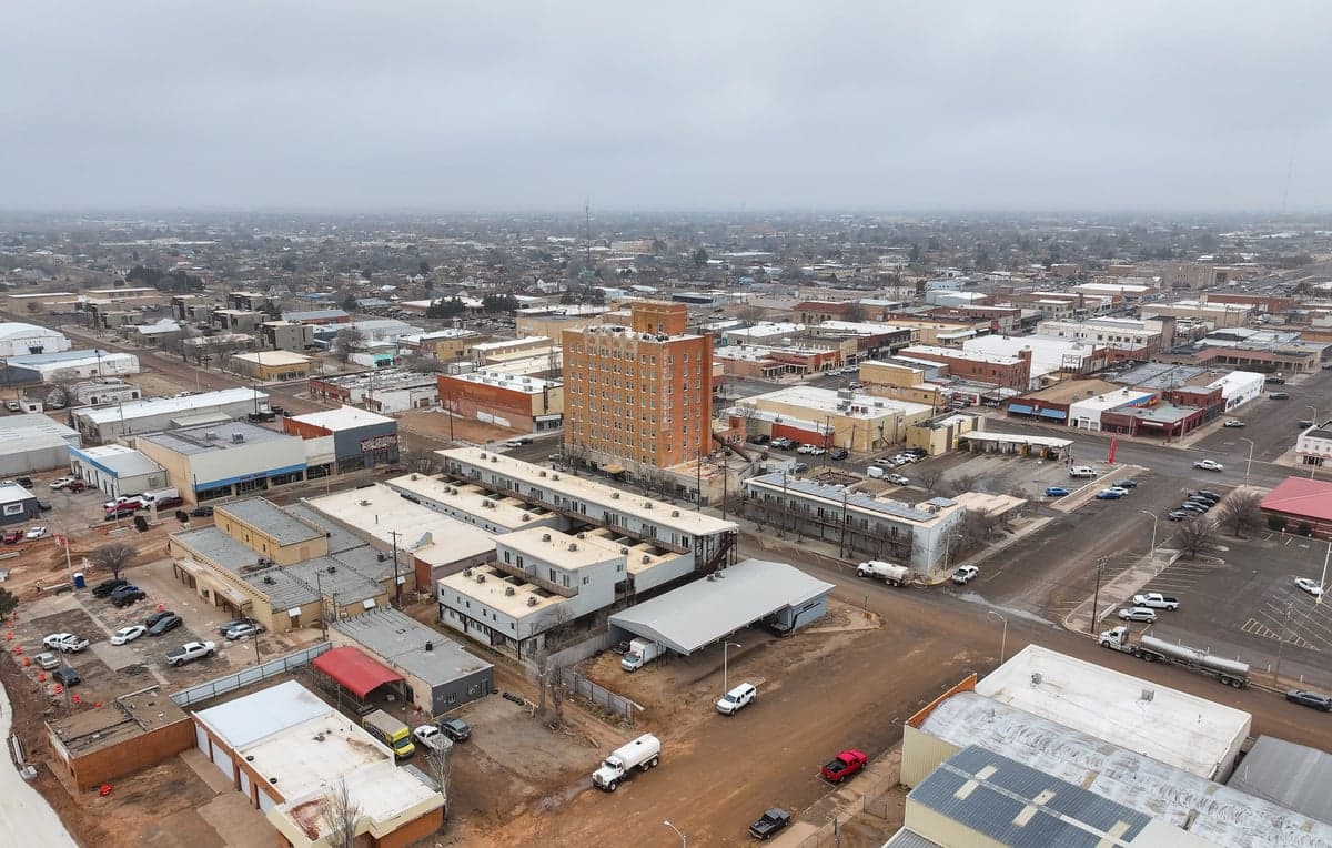
Clovis, New Mexico, sits in a strategic sweet spot that resilience-minded relocators rarely find: it offers genuine geographic isolation from major population centers while maintaining solid logistical connections to the rest of the country. Located in the High Plains of eastern New Mexico, roughly 100 miles from Amarillo and 200 miles from Albuquerque, Clovis avoids the immediate blast radius and post-collapse chaos of large metro areas, yet remains within a day's drive of critical supply routes and alternate support networks. For someone thinking about long-term preparedness, this town checks the isolation box without cutting you off from the outside world entirely.
Geographic position and natural advantages for long-term security
Clovis sits at roughly 4,300 feet elevation on the Llano Estacado, a vast, flat tableland that provides natural defensibility through sheer openness. There are no mountain passes to control, no dense forests to hide adversaries, but the surrounding terrain offers excellent line-of-sight for anyone paying attention. The area's semi-arid climate means fewer weather-related disruptions than coastal or tornado-prone regions — average annual precipitation is only about 17 inches, and severe storms are rare. The Ogallala Aquifer lies beneath much of this region, providing a deep, reliable groundwater source that many surface-water-dependent areas lack. For a prepper, that means water security is less about capturing rain and more about drilling a well and maintaining a hand pump. The local soil is fertile enough for dryland farming of wheat and sorghum, and the growing season runs roughly 180 days, which is workable for a serious garden or small-scale agriculture. Clovis's position near the Texas border also means easy access to the less-regulated, more firearm-friendly environment of Texas, which many in the preparedness community view as a practical advantage for resupply and mutual aid.
Risks, exposures, and proximity to fallout-relevant landmarks
No location is without vulnerabilities, and Clovis has a few that deserve honest assessment. The most obvious is Cannon Air Force Base, located just west of town. Cannon is home to the 27th Special Operations Wing, which operates CV-22 Ospreys and MQ-9 Reapers. While the base is a source of local economic stability and a potential rally point in a national emergency, it also makes Clovis a tier-2 target in any conflict involving strategic assets. A conventional strike on Cannon would likely be limited to the base itself, but fallout patterns from a larger exchange could drift eastward over the town depending on wind conditions. That said, Clovis is far enough from major strategic targets like nuclear command centers, ICBM silos, or major ports that it wouldn't be a primary strike zone. The nearest major fallout risk is probably the Pantex nuclear weapons assembly plant near Amarillo, about 100 miles northeast — close enough to be aware of, but far enough that prevailing westerly winds would carry contamination away from Clovis in most scenarios. The area also sits in a seismically stable region, with no active fault lines and virtually no earthquake risk. Tornadoes do occur, but the High Plains experience fewer and weaker ones than areas farther east. For a relocator, the main day-to-day risk is economic: Clovis's economy is heavily tied to agriculture and the base, so a prolonged national disruption would hit local employment hard. That's a resilience concern, not a survival one, but it's worth factoring into your plan.
Practical resilience for a relocator: food, water, energy, and defensibility
For someone serious about self-sufficiency, Clovis offers a mix of strengths and gaps that require deliberate planning. Water is the strongest asset: the Ogallala Aquifer means you can drill a well and have a reliable, off-grid water source for drinking and irrigation. Many rural properties already have wells, and the water table in this part of New Mexico is generally accessible at depths of 100 to 300 feet. Hand pumps and solar-powered pumps are viable options for a grid-down scenario. Food production is feasible but not effortless. The soil is alkaline and low in organic matter, so raised beds, compost, and soil amendments are necessary for serious gardening. Local farmers grow wheat, corn, and sorghum, and there are small-scale livestock operations throughout the county. Joining a local agricultural co-op or building relationships with area ranchers before a crisis hits is a smart move. Energy is a mixed picture. The region gets over 280 sunny days per year, making solar a strong option for off-grid power. Wind is also consistent, and small wind turbines can supplement solar in winter months. Natural gas is available in town, but rural properties often rely on propane or electric. Defensibility is where Clovis's flat terrain becomes a double-edged sword. The openness means you can see threats coming from miles away, but it also means you have limited cover and concealment. A well-chosen property with a perimeter fence, good lighting, and a clear field of fire is more important here than in wooded or mountainous areas. The local culture is heavily pro-Second Amendment, and gun ownership is the norm rather than the exception. That cultural alignment with preparedness values is a soft advantage — you won't be viewed as an outlier for having supplies, firearms, or a generator. The local hospital, Plains Regional Medical Center, is a Level III trauma center, which is adequate for routine emergencies but not for major trauma. For serious medical needs, you'd be looking at a 90-minute drive to Amarillo or a 4-hour drive to Lubbock. Stockpiling medical supplies and training in basic emergency medicine is strongly advised.
The overall strategic picture for Clovis is one of genuine isolation with manageable trade-offs. It's not a prepper paradise — there's no mountain fortress, no abundant rainfall, no natural barriers to slow down a determined group. But what it offers is a realistic, affordable, and culturally compatible base for someone who wants to be out of the blast zone, away from the riots, and within a community that doesn't look sideways at a stocked pantry and a rifle safe. The Cannon AFB presence is a double-edged sword, but it also means the local infrastructure is better than most rural towns of similar size. If you're looking for a place to ride out the next decade of uncertainty, Clovis deserves a serious look — just make sure you bring your own soil amendments and a good water filtration plan.
* Values derived from national, state, county, city and local statistics and may differ in a specific area. Last updated: 2026-05-01T04:24:37.000Z
Narrative content on this page is AI-generated and may contain mistakes. Verify any details that matter before acting on them.
ReloMaps may earn a commission from affiliate links at no extra cost to you.