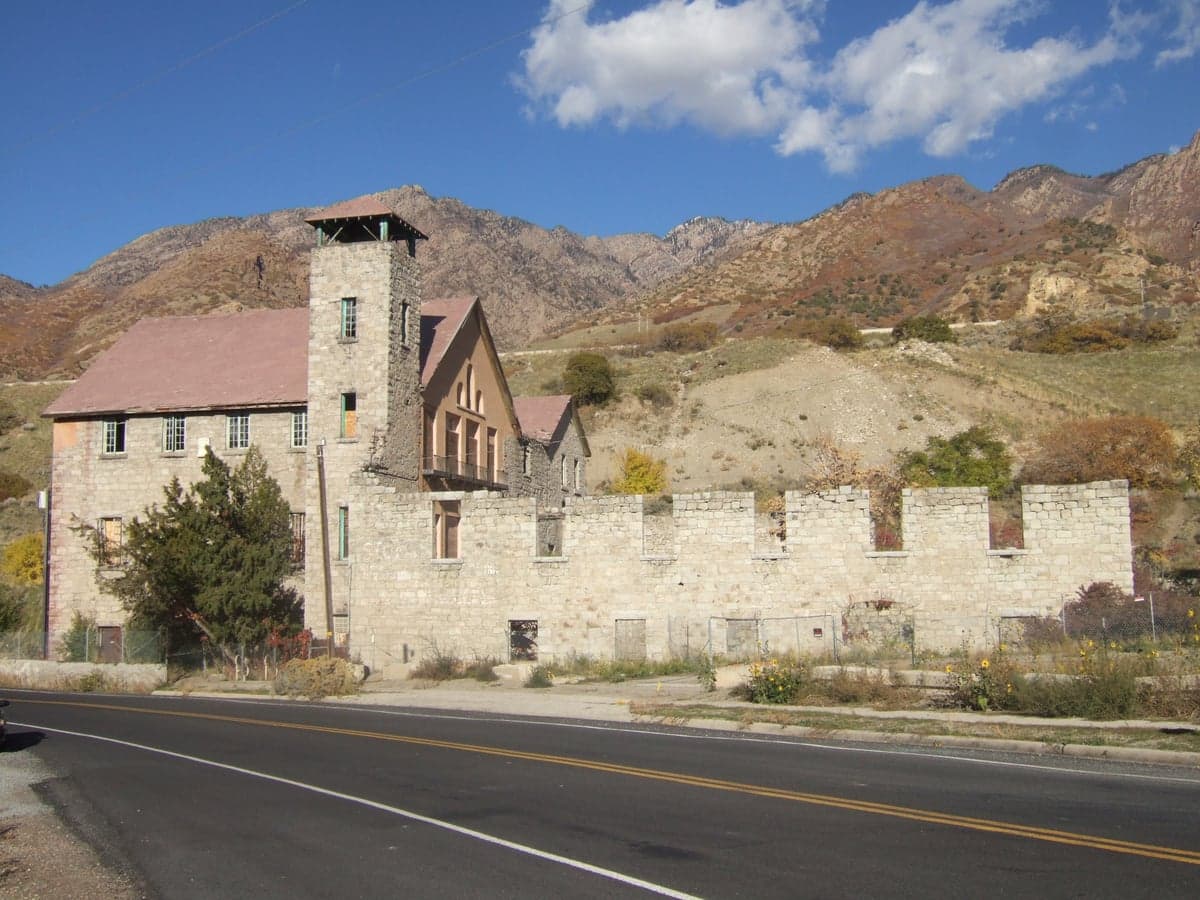
Photo: Wikipedia
Strategic Assessment of Cottonwood Heights, UT
Workable tactical position. Some exposure to population density or targets, but generally defensible in a crisis.
What does the Strategic Assessment tell us?
Our Strategic Assessment grades tactical survivability of an area. Major population centers, military targets, fallout zones, natural disasters, and border exposure all drive risk — lower exposure means a more defensible position in a crisis.
This is heavily inspired by Joel Skousen's Strategic Relocation book. Highly recommended you checkout the book ($)What does this tell us?
Our Strategic Assessment grades tactical survivability of an area. Major population centers, military targets, fallout zones, natural disasters, and border exposure all drive risk — lower exposure means a more defensible position in a crisis.
This is heavily inspired by Joel Skousen's Strategic Relocation book. Highly recommended you checkout the book ($)Strategic Pillars

Key Distances
Regional Safe Places
Below is our recommended "safe zones" in Utah and the surrounding area based on our strategic heuristics. For most people, it's unrealistic to live in a “safe zone” full-time due to work, family or other personal reasons. They tend to be more rural. However, many of these areas are perfect for second homes and retreat properties that double as a vacation home or even a short-term rental.


Important Note: For informational purposes only. This does not mean nothing bad ever happens in the green zones. Please use common sense. This is based on public data and modeled with AI. We tried to take a conservative approach but mistakes happen. We update this regularly as new information becomes available.
Solar Generator Recommendations
Backup power matters more here than in safer locations. We've picked three solar generators across budgets and capacity tiers — start with the budget unit if you only need a few essentials, or step up if you want to run a fridge and HVAC for days at a time.

Jackery Portable Power Station Explorer 300
Budget OptionPower on the Go: Weighing only 11 lbs, it's convenient to set up and store with book-sized foldable solar panels

BLUETTI Portable Power Station AC180
Designed for both indoor and outdoor scenarios, AC180 is highly capable as it has a robost capacity and continuous output power.

EF ECOFLOW DELTA Pro Ultra Power Station
Upgraded PickEcoFlow DELTA Pro Ultra is a whole-home energy system designed to grow with your family. Integrated with the Smart Home Panel 2, it scales to meet your evolving energy needs — keeping your home powered, intelligent, and secure through every stage of life.
We earn a commission, at no additional cost to you.
Strategic Assessment Analysis
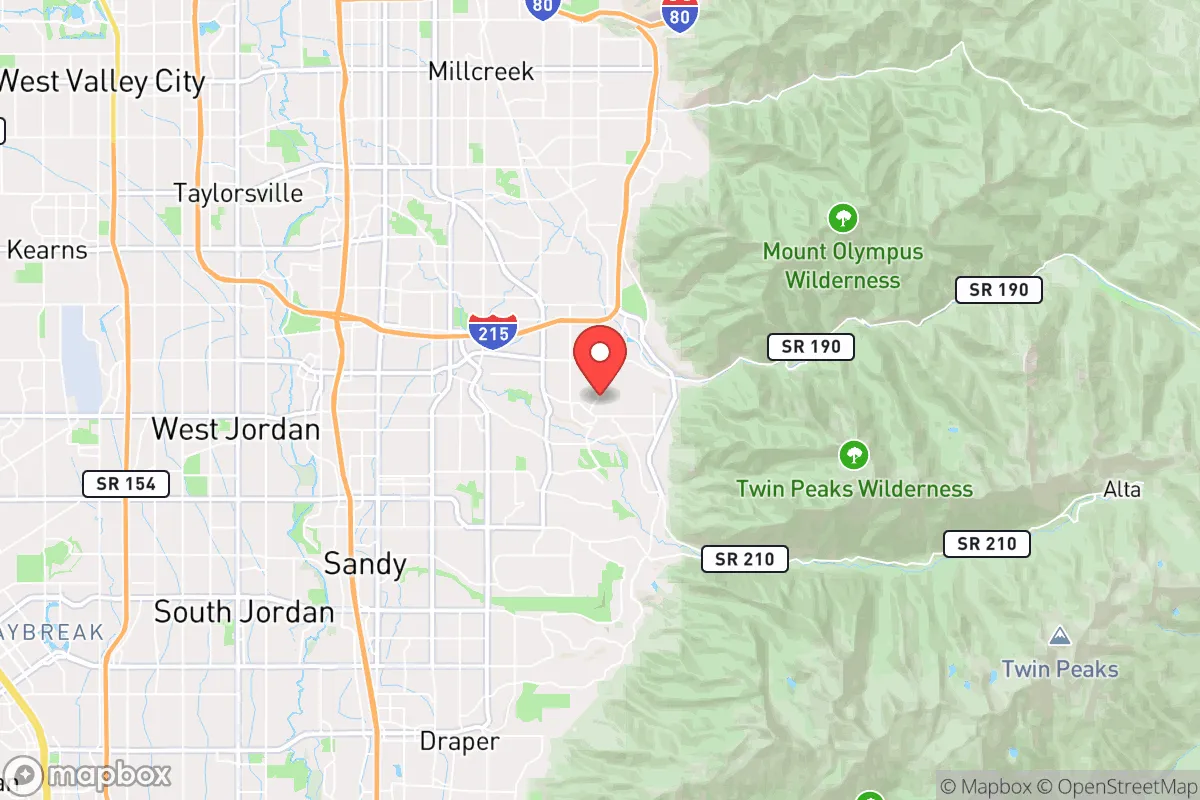
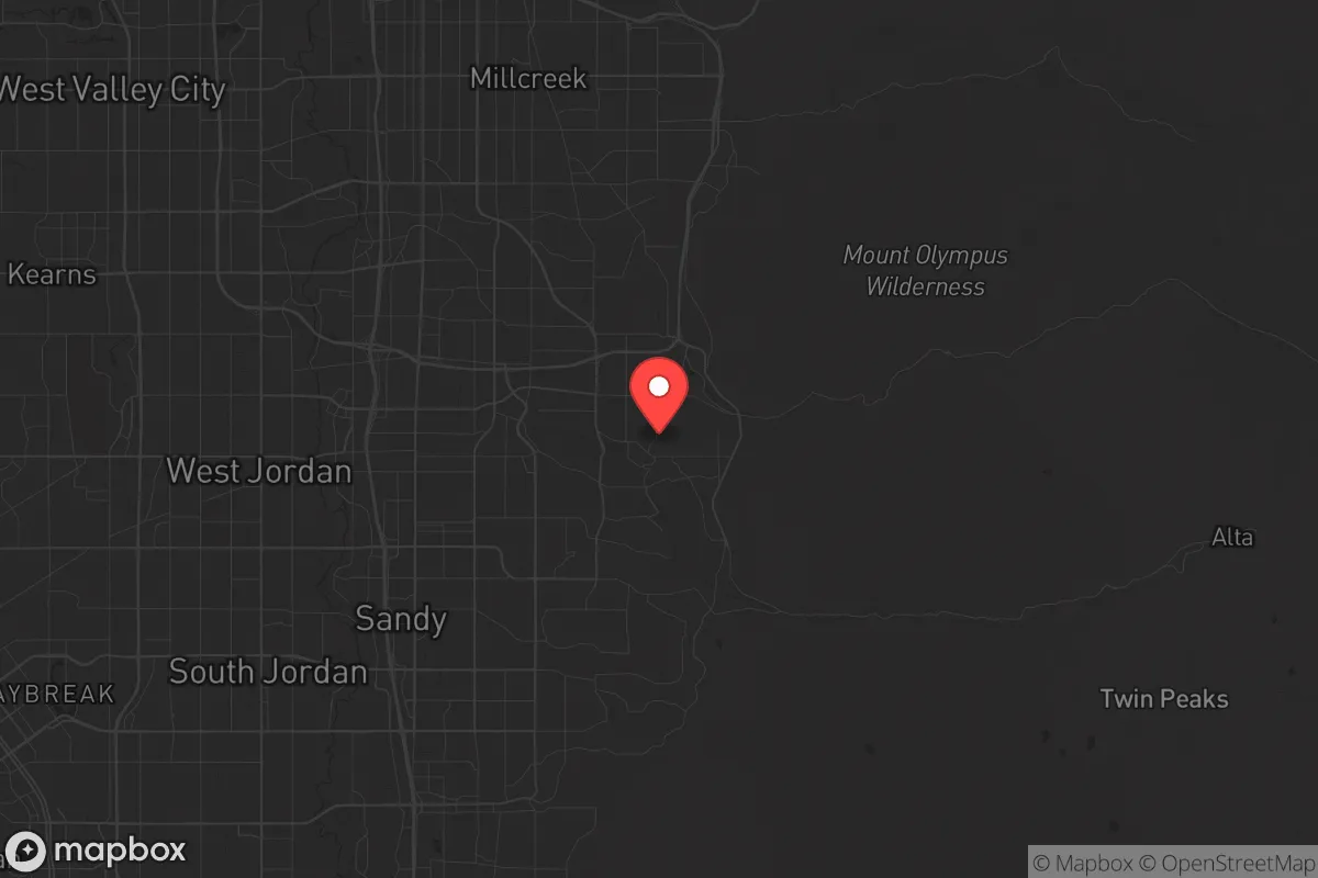
Cottonwood Heights, Utah, sits in a strategic sweet spot that preppers and survivalists should take seriously: close enough to Salt Lake City to access its resources, yet far enough into the Wasatch Front foothills to offer genuine defensibility and escape routes. The city’s elevation—roughly 4,700 feet—and its position at the mouth of Big Cottonwood Canyon give it a natural buffer against the worst of urban chaos, while the surrounding mountain terrain provides both cover and chokepoints. For a conservative-leaning relocator worried about civil unrest, supply chain collapse, or a major disaster, this isn’t a bug-out location—it’s a stay-and-hold position with real advantages.
Geographic position and natural advantages for long-term security
Cottonwood Heights is wedged between the Wasatch Mountains to the east and the Salt Lake Valley to the west, a geography that offers both concealment and control. The city sits at the base of Big Cottonwood Canyon, a major drainage that leads into the Uinta-Wasatch-Cache National Forest—thousands of square miles of rugged, sparsely populated backcountry. In a crisis, that canyon becomes a natural escape corridor or a resupply route, assuming you can secure the narrow access points. The elevation also means cooler summers and heavier snowpack than the valley floor, which translates to more reliable water from snowmelt—critical if municipal systems go down. The city’s layout, with its mix of older neighborhoods and newer subdivisions tucked against the hills, creates natural defensible perimeters: many homes back directly onto forest service land, giving residents a literal backyard buffer. For a prepper, that’s not just scenic—it’s tactical.
Risks, exposures, and proximity to fallout-relevant landmarks
The biggest liability here is proximity to Salt Lake City, just 12 miles northwest. In a mass-casualty event or a major civil unrest scenario, the urban core could become a source of refugees, looters, or worse. I-15 and I-80, both within a 15-minute drive, are obvious chokepoints that could be blocked or contested. The city also sits within 20 miles of Hill Air Force Base, a strategic military installation that could become a target in a conflict—though it’s far enough away that fallout risk is low unless the wind shifts wrong. On the plus side, Cottonwood Heights has no major industrial facilities, no rail yards, and no chemical plants. The biggest natural risk is wildfire: the canyon and foothills are high-risk zones, especially in dry years. Flooding from snowmelt is a minor concern in low-lying areas near the creek, but most homes are elevated enough to avoid it. Earthquake risk is moderate—the Wasatch Fault runs through the valley—but the city’s bedrock foundation in the foothills offers better stability than the soft soils of the valley floor.
Practical resilience for a relocator: food, water, energy, and defensibility
Water is the strongest card Cottonwood Heights holds. The city draws from both municipal supplies and private wells in the foothills, and the Big Cottonwood Creek runs year-round. In a grid-down scenario, gravity-fed water from the canyon is accessible with basic filtration—something valley residents can’t say. Food storage is less straightforward: the city has a handful of grocery stores (Smith’s, Harmons, and a small Natural Grocers), but none are large enough to sustain the population for more than a few days. The nearest bulk suppliers are in Sandy or Midvale, both a 10-minute drive. For long-term preppers, this means either building a deep pantry or relying on the canyon’s hunting and foraging—mule deer, elk, and edible plants are present but not abundant. Energy resilience is decent: many homes in the foothills already have solar panels or backup generators, and the city’s elevation means good sun exposure year-round. Defensibility is where Cottonwood Heights shines. The canyon roads (Wasatch Boulevard and the canyon itself) are narrow and easily blocked, and the neighborhoods are spread out enough that a small group could secure a perimeter. The local police department is well-funded and responsive, but in a collapse scenario, you’d be relying on neighbors and your own preparation—not the government.
The overall strategic picture for Cottonwood Heights is cautiously optimistic for a prepper or survivalist. It’s not a remote bunker—you’re still within earshot of a major city and its associated risks. But the natural barriers, reliable water, and defensible terrain make it one of the better options along the Wasatch Front for someone who wants to stay connected to urban resources without being trapped in them. The key is to treat it as a base of operations, not a final redoubt: stock supplies, secure your water source, and know the canyon routes cold. If you’re looking for a place that balances access with security, this is a solid bet—just don’t expect to be completely off the grid. The mountains are close, but so is the chaos.
* Values derived from national, state, county, city and local statistics and may differ in a specific area. Last updated: 2026-04-21T10:11:39.000Z
Narrative content on this page is AI-generated and may contain mistakes. Verify any details that matter before acting on them.
ReloMaps may earn a commission from affiliate links at no extra cost to you.