Photo: Wikipedia
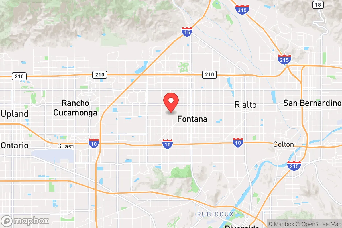
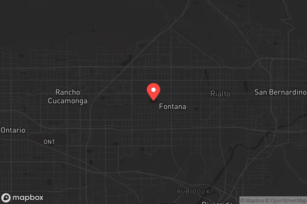
Strategic Assessment of Fontana, CA
Multiple tactical vulnerabilities. Population density, target proximity, or disaster risk are likely compounding. A retreat property and exit planning is required.
What does the Strategic Assessment tell us?
Our Strategic Assessment grades tactical survivability of an area. Major population centers, military targets, fallout zones, natural disasters, and border exposure all drive risk — lower exposure means a more defensible position in a crisis.
This is heavily inspired by Joel Skousen's Strategic Relocation book. Highly recommended you checkout the book ($)What does this tell us?
Our Strategic Assessment grades tactical survivability of an area. Major population centers, military targets, fallout zones, natural disasters, and border exposure all drive risk — lower exposure means a more defensible position in a crisis.
This is heavily inspired by Joel Skousen's Strategic Relocation book. Highly recommended you checkout the book ($)Strategic Pillars

Key Distances
Regional Safe Places
Below is our recommended "safe zones" in California and the surrounding area based on our strategic heuristics. For most people, it's unrealistic to live in a “safe zone” full-time due to work, family or other personal reasons. They tend to be more rural. However, many of these areas are perfect for second homes and retreat properties that double as a vacation home or even a short-term rental.


Important Note: For informational purposes only. This does not mean nothing bad ever happens in the green zones. Please use common sense. This is based on public data and modeled with AI. We tried to take a conservative approach but mistakes happen. We update this regularly as new information becomes available.
Solar Generator Recommendations
Backup power matters more here than in safer locations. We've picked three solar generators across budgets and capacity tiers — start with the budget unit if you only need a few essentials, or step up if you want to run a fridge and HVAC for days at a time.

Jackery Portable Power Station Explorer 300
Budget OptionPower on the Go: Weighing only 11 lbs, it's convenient to set up and store with book-sized foldable solar panels

BLUETTI Portable Power Station AC180
Designed for both indoor and outdoor scenarios, AC180 is highly capable as it has a robost capacity and continuous output power.

EF ECOFLOW DELTA Pro Ultra Power Station
Upgraded PickEcoFlow DELTA Pro Ultra is a whole-home energy system designed to grow with your family. Integrated with the Smart Home Panel 2, it scales to meet your evolving energy needs — keeping your home powered, intelligent, and secure through every stage of life.
We earn a commission, at no additional cost to you.
Strategic Assessment Analysis
Fontana, California, sits in a precarious strategic position that demands a clear-eyed assessment for anyone serious about long-term preparedness. Its location at the eastern edge of the Los Angeles metropolitan area, within the Inland Empire, offers a mix of logistical advantages and severe vulnerabilities that a conservative prepper must weigh carefully. While the city’s access to major transportation corridors and its own industrial base provide some resilience, its proximity to dense urban populations, critical infrastructure targets, and natural disaster zones makes it a high-risk area for those seeking true strategic depth. This analysis strips away the boosterism and looks at Fontana through the lens of survival, self-reliance, and realistic threat modeling.
Geographic position and natural advantages for long-term survival
Fontana’s geography is a double-edged sword. The city sits at the base of the San Gabriel Mountains, with the Cajon Pass to the northeast providing a direct route to the High Desert and the Mojave. This pass is a critical chokepoint for any movement between Southern California and the interior West, which could be a strategic asset or a liability depending on the scenario. The surrounding terrain includes foothills and canyons that offer some natural defensibility, but the city itself is largely flat, sprawling suburban and industrial land. The San Bernardino National Forest lies to the north, offering potential for off-grid retreat, but access is limited and heavily patrolled. Water is a major concern: Fontana relies on imported water from the State Water Project and the Colorado River, both of which are vulnerable to earthquake disruption, drought, or sabotage. The local groundwater basin is overdrafted, meaning any long-term grid-down scenario would see water scarcity within days. The climate is semi-arid, with hot summers and mild winters, which reduces heating fuel needs but increases water and fire risks. For a relocator, the natural advantages are limited to the nearby mountains for escape routes and the relatively lower population density compared to Los Angeles proper—but that advantage is marginal.
Risks, exposures, and proximity to fallout-relevant landmarks
Fontana’s risk profile is dominated by its location within the San Andreas Fault zone. The city is less than 10 miles from the fault line, and a major rupture—the “Big One”—would cause catastrophic ground shaking, liquefaction in low-lying areas, and likely sever all major highways and pipelines. The 1994 Northridge earthquake, though centered farther west, caused significant damage in the Inland Empire, and a direct hit would be far worse. Beyond seismic threats, Fontana is surrounded by high-value targets that make it a potential secondary fallout zone in a conflict scenario. The city itself hosts a massive steel mill (California Steel Industries) and a major rail yard, both of which could be targets for sabotage or strategic bombing. The nearby March Air Reserve Base (about 15 miles south) and the Port of Los Angeles/Long Beach complex (40 miles west) are obvious military and economic targets. In a civil unrest scenario, Fontana’s proximity to Los Angeles means that any large-scale breakdown in the city would spill over quickly via the 10 and 210 freeways. The 2020 riots demonstrated how fast unrest can spread from urban centers into the suburbs. For a prepper, the risk of being caught in a mass evacuation or being cut off by roadblocks is high. The city’s industrial character also means air quality is poor, with particulate matter from the steel mill and nearby logistics centers, which is a long-term health concern that compounds in a collapse scenario where medical care is scarce.
Practical resilience for a relocator: food, water, energy, and defensibility
For a single individual or family looking to establish a resilient household in Fontana, the practical challenges are significant. Water storage is non-negotiable: the municipal supply is fragile, and well water is not an option for most residential lots due to depth and contamination from industrial runoff. A minimum of 55 gallons per person for two weeks is a baseline, but given the drought and earthquake risks, a 1,000-gallon tank with a rainwater catchment system is more realistic. The city’s building codes allow for some modifications, but HOA restrictions in many newer subdivisions can be a barrier. Food security is also a concern: the Inland Empire has some agricultural land to the south and east, but Fontana itself is built out. Community gardens exist but are small. Stockpiling non-perishables and learning to hunt or fish in the nearby San Bernardino National Forest (where deer and small game are present) is advisable, but note that hunting pressure is high. Energy resilience is more feasible. Solar panels are common in the area due to the high number of sunny days, and battery storage (like Tesla Powerwall) is increasingly popular. However, net metering policies in California are becoming less favorable, and any grid-down scenario would require a robust off-grid system. Natural gas is widely available but would be cut in an earthquake. Defensibility is the weakest point: Fontana’s suburban layout with grid streets and limited natural barriers makes it hard to secure a property against a determined group. A home on a larger lot near the foothills, with a clear line of sight and a reinforced perimeter, is better than a typical tract home. The city’s crime rate is moderate but rising, with property crime being the main concern. In a collapse scenario, the sheer number of people in the region would make long-term defense of a single home unrealistic without a well-armed and organized neighborhood watch. The best strategy for a relocator is to use Fontana as a base for supplies and income while having a secondary retreat in a more remote area, such as the high desert near Victorville or the mountains east of Big Bear.
The overall strategic picture for a conservative prepper
Fontana is not a destination for someone seeking a true redoubt. Its strategic value lies in its industrial base and transportation links, which could be leveraged for barter and trade in a partial collapse, but its vulnerabilities—earthquake risk, water dependency, proximity to major targets, and high population density—outweigh those benefits for most preppers. The city is best viewed as a transitional location: a place to build skills, network with like-minded individuals, and accumulate resources while planning a move to a more defensible area. The political climate in San Bernardino County is mixed, with a conservative lean in the eastern parts but a strong progressive influence from the western suburbs and Los Angeles. This means that in a civil unrest scenario, Fontana could become a contested zone. For a single individual or family with a survivalist mindset, the calculus is clear: Fontana offers some advantages for the short to medium term, but long-term resilience requires a location with more water, lower population density, and greater distance from strategic targets. If you are already here, harden your home, build community ties, and have a bug-out plan. If you are considering a move, look farther east or north—places like Ridgecrest, Barstow, or even rural Nevada offer a better risk-reward ratio for those serious about weathering what is coming.
* Values derived from national, state, county, city and local statistics and may differ in a specific area. Last updated: 2026-04-30T01:07:56.000Z
Narrative content on this page is AI-generated and may contain mistakes. Verify any details that matter before acting on them.
ReloMaps may earn a commission from affiliate links at no extra cost to you.