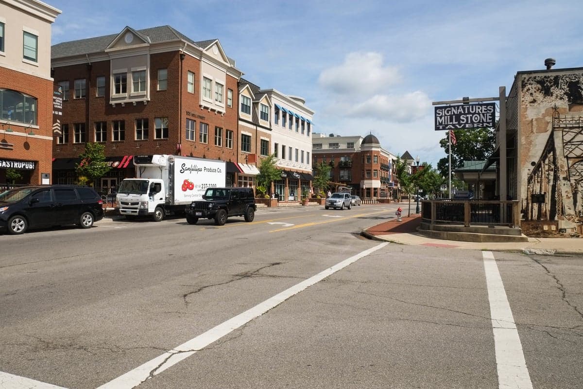
Photo: Wikipedia
Strategic Assessment of Gahanna, OH
Multiple tactical vulnerabilities. Population density, target proximity, or disaster risk are likely compounding. A retreat property and exit planning is required.
What does the Strategic Assessment tell us?
Our Strategic Assessment grades tactical survivability of an area. Major population centers, military targets, fallout zones, natural disasters, and border exposure all drive risk — lower exposure means a more defensible position in a crisis.
This is heavily inspired by Joel Skousen's Strategic Relocation book. Highly recommended you checkout the book ($)What does this tell us?
Our Strategic Assessment grades tactical survivability of an area. Major population centers, military targets, fallout zones, natural disasters, and border exposure all drive risk — lower exposure means a more defensible position in a crisis.
This is heavily inspired by Joel Skousen's Strategic Relocation book. Highly recommended you checkout the book ($)Strategic Pillars

Key Distances
Regional Safe Places
Below is our recommended "safe zones" in Ohio and the surrounding area based on our strategic heuristics. For most people, it's unrealistic to live in a “safe zone” full-time due to work, family or other personal reasons. They tend to be more rural. However, many of these areas are perfect for second homes and retreat properties that double as a vacation home or even a short-term rental.

Important Note: For informational purposes only. This does not mean nothing bad ever happens in the green zones. Please use common sense. This is based on public data and modeled with AI. We tried to take a conservative approach but mistakes happen. We update this regularly as new information becomes available.
Solar Generator Recommendations
Backup power matters more here than in safer locations. We've picked three solar generators across budgets and capacity tiers — start with the budget unit if you only need a few essentials, or step up if you want to run a fridge and HVAC for days at a time.

Jackery Portable Power Station Explorer 300
Budget OptionPower on the Go: Weighing only 11 lbs, it's convenient to set up and store with book-sized foldable solar panels

BLUETTI Portable Power Station AC180
Designed for both indoor and outdoor scenarios, AC180 is highly capable as it has a robost capacity and continuous output power.

EF ECOFLOW DELTA Pro Ultra Power Station
Upgraded PickEcoFlow DELTA Pro Ultra is a whole-home energy system designed to grow with your family. Integrated with the Smart Home Panel 2, it scales to meet your evolving energy needs — keeping your home powered, intelligent, and secure through every stage of life.
We earn a commission, at no additional cost to you.
Strategic Assessment Analysis
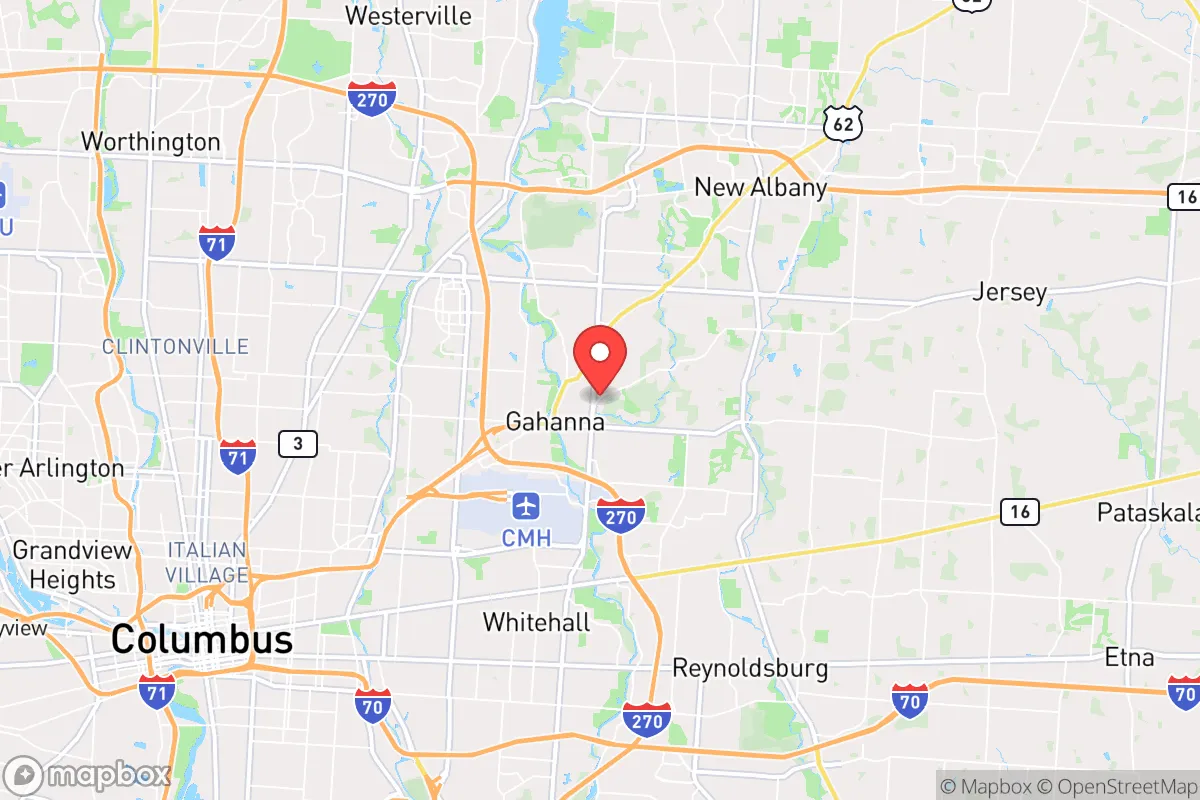
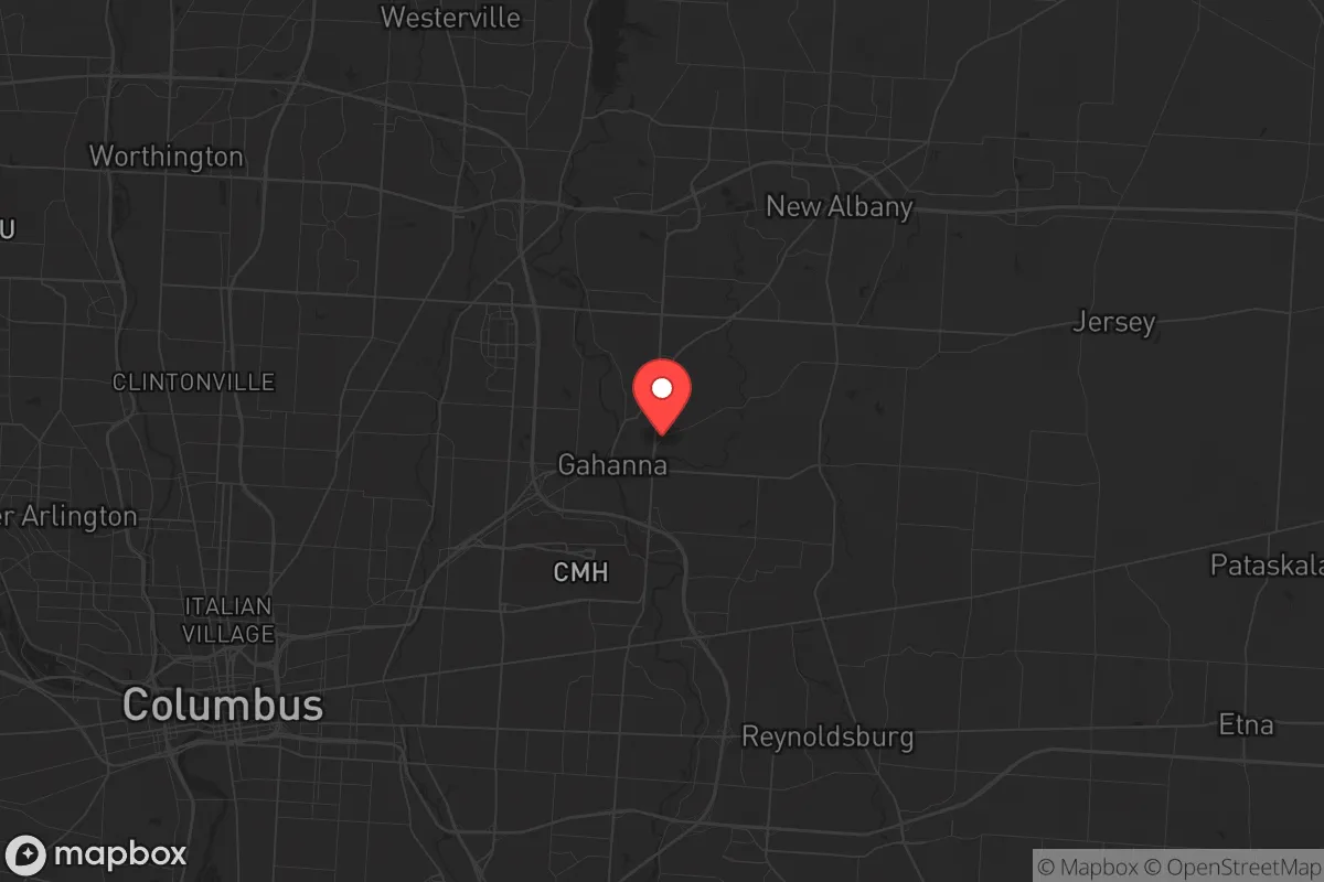
Gahanna, Ohio, sits in a precarious strategic position that demands careful consideration for anyone serious about long-term preparedness. While its proximity to Columbus offers economic advantages, that same closeness to a major metropolitan hub introduces significant vulnerabilities in a crisis scenario. The city’s location along the I-270 outerbelt and near the Port Columbus International Airport means it’s a potential chokepoint for evacuation or supply routes, but also a likely target for civil unrest or infrastructure disruption. For the conservative prepper, Gahanna presents a mixed bag: decent suburban infrastructure with some natural buffers, but ultimately too close to a major population center for true strategic depth.
Geographic position and natural advantages for a prepper
Gahanna’s geography is defined by its position along the Big Walnut Creek and its proximity to the Rocky Fork and Blacklick Creek watersheds. This water access is a genuine asset for off-grid water collection and filtration, provided you have the right gear and knowledge. The area sits on relatively flat, well-drained glacial till, which means basement flooding is less of a concern than in clay-heavy regions, and gardening soil is workable with amendments. The city is roughly 15 miles northeast of downtown Columbus, placing it outside the immediate blast radius of any hypothetical WMD or industrial accident targeting the state capital, but still within the fallout zone for a large-scale event. The natural tree cover in neighborhoods like the Jefferson Township area provides some visual screening and noise dampening, which is useful for maintaining a low profile. However, the lack of significant elevation changes means there are no natural defensive high grounds, and the flat terrain makes long-range observation difficult. The nearby Hoover Reservoir, about 10 miles north, is a secondary water source but also a potential target for contamination or sabotage. For a relocator, the key takeaway is that Gahanna’s natural advantages are modest: decent water access and workable soil, but no real geographic barriers to slow down a determined threat.
Risks, exposures, and proximity to fallout-relevant landmarks
The single biggest risk for a prepper in Gahanna is its proximity to Columbus and the associated critical infrastructure. The city is within 5 miles of the Rickenbacker Air National Guard Base and the Port Columbus International Airport, both of which are high-value targets in any conflict or major terrorist event. The I-270 and I-670 corridors run through or adjacent to Gahanna, making it a likely evacuation route that could become gridlocked within hours of a crisis. The nearby Ohio State University Wexner Medical Center and the James Cancer Hospital are regional trauma centers that would draw massive crowds and resources away from suburban areas. Additionally, the CSX and Norfolk Southern rail lines that pass through the Columbus metro area carry hazardous materials, including chlorine and ammonia, which could be released in a derailment or attack. The city’s own water treatment plant on Big Walnut Creek is a single point of failure; a contamination event upstream could leave residents without potable water for days. For the conservative prepper, these exposures mean that Gahanna is not a bug-out location—it’s a place where you’d need to be ready to shelter in place for extended periods or have a pre-planned exfiltration route to more rural areas like Licking County or Knox County. The risk of civil unrest spilling over from Columbus is real, especially given the city’s history of protests and the current political climate. Gahanna’s police force is competent but small, and mutual aid from surrounding jurisdictions could be delayed in a widespread event.
Practical resilience for a relocator: food, water, energy, and defensibility
For a relocator looking to set up a resilient household in Gahanna, the practical considerations are sobering. Food security is achievable through suburban gardening—most lots are a quarter-acre or larger, allowing for raised beds and small orchards. The local farmers’ market at Creekside Plaza is a good source for heirloom seeds and local produce, but it’s not a reliable supply line in a crisis. Water security is the bigger challenge: the municipal supply is treated and reliable in normal times, but a long-term grid-down scenario would require either a well (uncommon in newer subdivisions) or a robust rainwater catchment system. The average annual rainfall is about 38 inches, which is adequate for collection, but you’d need significant storage capacity to get through a dry summer. Energy resilience is mixed. Natural gas is the primary heating fuel, and the grid is reasonably stable, but the area is prone to occasional ice storms that can knock out power for days. Solar panels are viable, but many HOAs in Gahanna have restrictive covenants that limit visible installations. A whole-house generator running on propane or natural gas is a more practical investment. Defensibility is the weak point. Gahanna is a typical suburban sprawl with multiple entry points, cul-de-sacs, and a grid-like street pattern that offers little natural cover. A determined group could easily bypass a single hardened home. The best strategy is to choose a property on a dead-end street with a single access point, preferably backing up to a wooded area or the creek for a potential escape route. Community resilience is low—most neighbors are commuters with no prepper mindset, so you’ll likely be on your own. The local churches and civic groups could become coordination points, but that depends on the nature of the crisis.
Overall, Gahanna is a marginal choice for the serious prepper. It offers decent suburban amenities and some natural water access, but the risks from its proximity to Columbus, critical infrastructure, and population density outweigh the benefits for anyone prioritizing long-term survival. If you’re already here, your best bet is to harden your home, build a deep pantry, and establish a relationship with a rural property owner in a county like Morrow or Union for a bug-out location. If you’re considering relocating, look further east toward Zanesville or north toward Mansfield, where population density drops and natural resources increase. Gahanna works as a temporary staging area or a place to maintain a professional career while building your remote capabilities, but it’s not a final destination for the strategic relocation you’re planning. The world is getting more unstable, and being within 20 miles of a major city is a liability you can’t afford in the long run.
* Values derived from national, state, county, city and local statistics and may differ in a specific area. Last updated: 2026-04-21T18:01:29.000Z
Narrative content on this page is AI-generated and may contain mistakes. Verify any details that matter before acting on them.
ReloMaps may earn a commission from affiliate links at no extra cost to you.