
Photo: Wikipedia
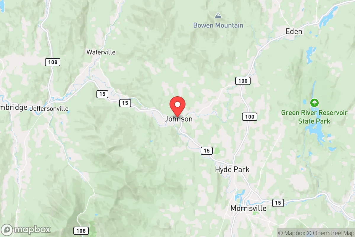
Strategic Assessment of Johnson, VT
Meaningful friction. Expect exposure to either population pressure, blast zones, or natural disaster risk. Consider buying a retreat property.
What does the Strategic Assessment tell us?
Our Strategic Assessment grades tactical survivability of an area. Major population centers, military targets, fallout zones, natural disasters, and border exposure all drive risk — lower exposure means a more defensible position in a crisis.
This is heavily inspired by Joel Skousen's Strategic Relocation book. Highly recommended you checkout the book ($)What does this tell us?
Our Strategic Assessment grades tactical survivability of an area. Major population centers, military targets, fallout zones, natural disasters, and border exposure all drive risk — lower exposure means a more defensible position in a crisis.
This is heavily inspired by Joel Skousen's Strategic Relocation book. Highly recommended you checkout the book ($)Strategic Pillars

Key Distances
Regional Safe Places
Below is our recommended "safe zones" in Vermont and the surrounding area based on our strategic heuristics. For most people, it's unrealistic to live in a “safe zone” full-time due to work, family or other personal reasons. They tend to be more rural. However, many of these areas are perfect for second homes and retreat properties that double as a vacation home or even a short-term rental.


Important Note: For informational purposes only. This does not mean nothing bad ever happens in the green zones. Please use common sense. This is based on public data and modeled with AI. We tried to take a conservative approach but mistakes happen. We update this regularly as new information becomes available.
Solar Generator Recommendations
Backup power matters more here than in safer locations. We've picked three solar generators across budgets and capacity tiers — start with the budget unit if you only need a few essentials, or step up if you want to run a fridge and HVAC for days at a time.

Jackery Portable Power Station Explorer 300
Budget OptionPower on the Go: Weighing only 11 lbs, it's convenient to set up and store with book-sized foldable solar panels

BLUETTI Portable Power Station AC180
Designed for both indoor and outdoor scenarios, AC180 is highly capable as it has a robost capacity and continuous output power.

EF ECOFLOW DELTA Pro Ultra Power Station
Upgraded PickEcoFlow DELTA Pro Ultra is a whole-home energy system designed to grow with your family. Integrated with the Smart Home Panel 2, it scales to meet your evolving energy needs — keeping your home powered, intelligent, and secure through every stage of life.
We earn a commission, at no additional cost to you.
Strategic Assessment Analysis
Johnson, Vermont, offers a strategic relocation option for those prioritizing resilience and self-sufficiency, sitting in a sweet spot of geographic isolation without being cut off from critical resources. This small Lamoille County village, with a population hovering around 1,500, is tucked into the Green Mountains roughly 35 miles northeast of Burlington, the state's largest city. For a conservative-leaning prepper or survivalist, Johnson's value lies in its balance of remoteness from major population centers and its access to the working landscapes of northern Vermont—working farms, forests, and a community that still values neighborly independence.
Geographic position and natural advantages for long-term security
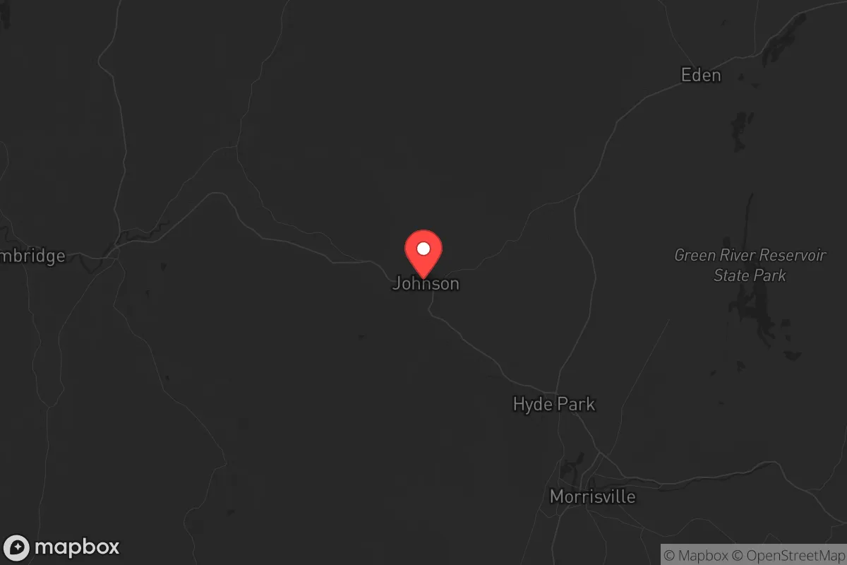
Johnson's location is its primary strategic asset. It sits in the Lamoille River Valley, a corridor that provides fertile bottomland and reliable water flow, while being flanked by the Green Mountains to the west and the Worcester Range to the east. This topography creates natural chokepoints: the only major routes in and out are Vermont Route 15 (east-west) and Vermont Route 100 (north-south), both two-lane roads that can be monitored or controlled if needed. The surrounding mountains offer abundant hardwood forests for fuel, building materials, and game, with the 26,000-acre Mount Mansfield State Forest just a few miles south. Elevation ranges from roughly 700 feet in the valley to over 3,000 feet on nearby peaks, meaning Johnson gets significant snowfall—averaging 80-100 inches annually—which acts as a natural barrier to movement during winter months. For a relocator, this means the area is inherently defensible: difficult to approach without being seen, and easy to isolate if roads become impassable or intentionally blocked. The closest interstate, I-89, is 20 miles west in Waterbury, providing a lifeline for supply runs but not a direct threat vector from urban chaos.
Risks, exposures, and proximity to fallout-relevant landmarks
No location is risk-free, and Johnson has specific vulnerabilities a strategic relocator must weigh. The most significant is the proximity to Burlington and the Champlain Valley, which is Vermont's population and economic hub. Burlington's metro area holds roughly 220,000 people, and in a scenario of civil unrest or supply chain collapse, that population could push east along Route 15 toward Johnson. The village itself is only 35 miles from Burlington's urban core—a day's walk for a determined group. Additionally, the Vermont Yankee nuclear plant in Vernon (southern Vermont) is roughly 120 miles south, but the prevailing winds in this region are from the west and northwest, meaning fallout from a catastrophic event there would likely blow east, not north. More relevant is the Plattsburgh Air Force Base (now a civilian airport) across Lake Champlain in New York, about 50 miles west—a potential target in a conflict scenario. Johnson's valley location offers some shielding from blast effects, but not from fallout carried by westerly winds. The area also sits in a seismic zone; while Vermont earthquakes are rare, the region has experienced magnitude 4-5 events historically, and the Lamoille River valley's alluvial soils could amplify shaking. Flood risk is real: the Lamoille River flooded severely in 2011 (Tropical Storm Irene) and 2023, inundating parts of the village. Any property should be above the 100-year floodplain, ideally on higher ground south or east of the river.
Practical resilience for a relocator: food, water, energy, and defensibility
For a prepper, Johnson's practical resilience is a mixed bag that requires active work. Water is abundant: the Lamoille River runs through town, and numerous streams and springs feed from the mountains. However, surface water requires filtration—giardia and other pathogens are endemic. A well-drilled property is ideal; the water table here is generally reliable at 50-150 feet. Food production is viable but short-season: the growing zone is 4b/5a, with a frost-free window from late May to late September. Cold frames and greenhouses extend this, and the valley's soils are loamy and productive. Local agriculture is strong—Johnson is surrounded by working dairy farms, maple sugaring operations, and small-scale vegetable producers. The Johnson Farmers Market runs June through October, and the village has a small grocery store (The Village Market) for staples. For long-term storage, the nearest bulk suppliers are in Morrisville (10 miles east) or Stowe (15 miles south). Energy is a vulnerability: the grid is rural and prone to outages from ice storms, wind, and heavy snow. Wood heat is the default backup—most homes have woodstoves or boilers, and firewood is plentiful if you have land or a chainsaw. Solar is viable but limited by winter cloud cover; a hybrid system with battery storage and a generator is the gold standard. Defensibility is Johnson's strongest card. The village itself is compact, with a single main street (Route 15) and limited side roads. Properties on the outskirts, especially those with a long driveway and a view of the approach, offer excellent standoff. The community is small enough that strangers are noticed quickly, and the local culture—hunting, fishing, and self-reliance—means many residents are armed and capable. The Lamoille County Sheriff's Office is based in Hyde Park (8 miles east), but response times in a crisis would be slow; you are your own first responder here.
The overall strategic picture for Johnson, VT, is one of a solid B+ location for a survivalist or prepper with realistic expectations. It offers genuine natural barriers, abundant water, a working landscape, and a community that values independence—all critical for weathering civic unrest or supply chain disruptions. The trade-offs are real: a short growing season, winter isolation that cuts both ways, and proximity to Burlington's population mass that could become a liability in a collapse scenario. For a single individual or family willing to invest in off-grid infrastructure—solar, wood heat, a well, and food storage—Johnson provides a defensible base with access to the broader northern New England network of like-minded communities. It is not a bug-out location for a weekend warrior; it is a place to build a life that is already resilient, where the daily habits of self-sufficiency are the norm, not the exception. If you are looking for a location that balances remoteness with practicality, and you are prepared to work the land and the winters, Johnson deserves a serious look.
* Values derived from national, state, county, city and local statistics and may differ in a specific area. Last updated: 2026-04-19T10:11:21.000Z
Narrative content on this page is AI-generated and may contain mistakes. Verify any details that matter before acting on them.
ReloMaps may earn a commission from affiliate links at no extra cost to you.