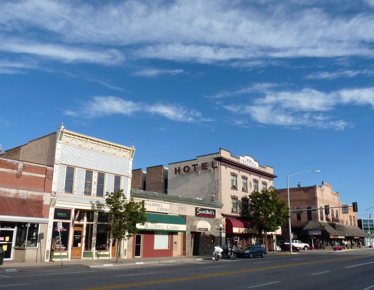
Photo: Wikipedia
Strategic Assessment of Kalispell, MT
Workable tactical position. Some exposure to population density or targets, but generally defensible in a crisis.
What does the Strategic Assessment tell us?
Our Strategic Assessment grades tactical survivability of an area. Major population centers, military targets, fallout zones, natural disasters, and border exposure all drive risk — lower exposure means a more defensible position in a crisis.
This is heavily inspired by Joel Skousen's Strategic Relocation book. Highly recommended you checkout the book ($)What does this tell us?
Our Strategic Assessment grades tactical survivability of an area. Major population centers, military targets, fallout zones, natural disasters, and border exposure all drive risk — lower exposure means a more defensible position in a crisis.
This is heavily inspired by Joel Skousen's Strategic Relocation book. Highly recommended you checkout the book ($)Strategic Pillars

Key Distances
Regional Safe Places
Below is our recommended "safe zones" in Montana and the surrounding area based on our strategic heuristics. For most people, it's unrealistic to live in a “safe zone” full-time due to work, family or other personal reasons. They tend to be more rural. However, many of these areas are perfect for second homes and retreat properties that double as a vacation home or even a short-term rental.
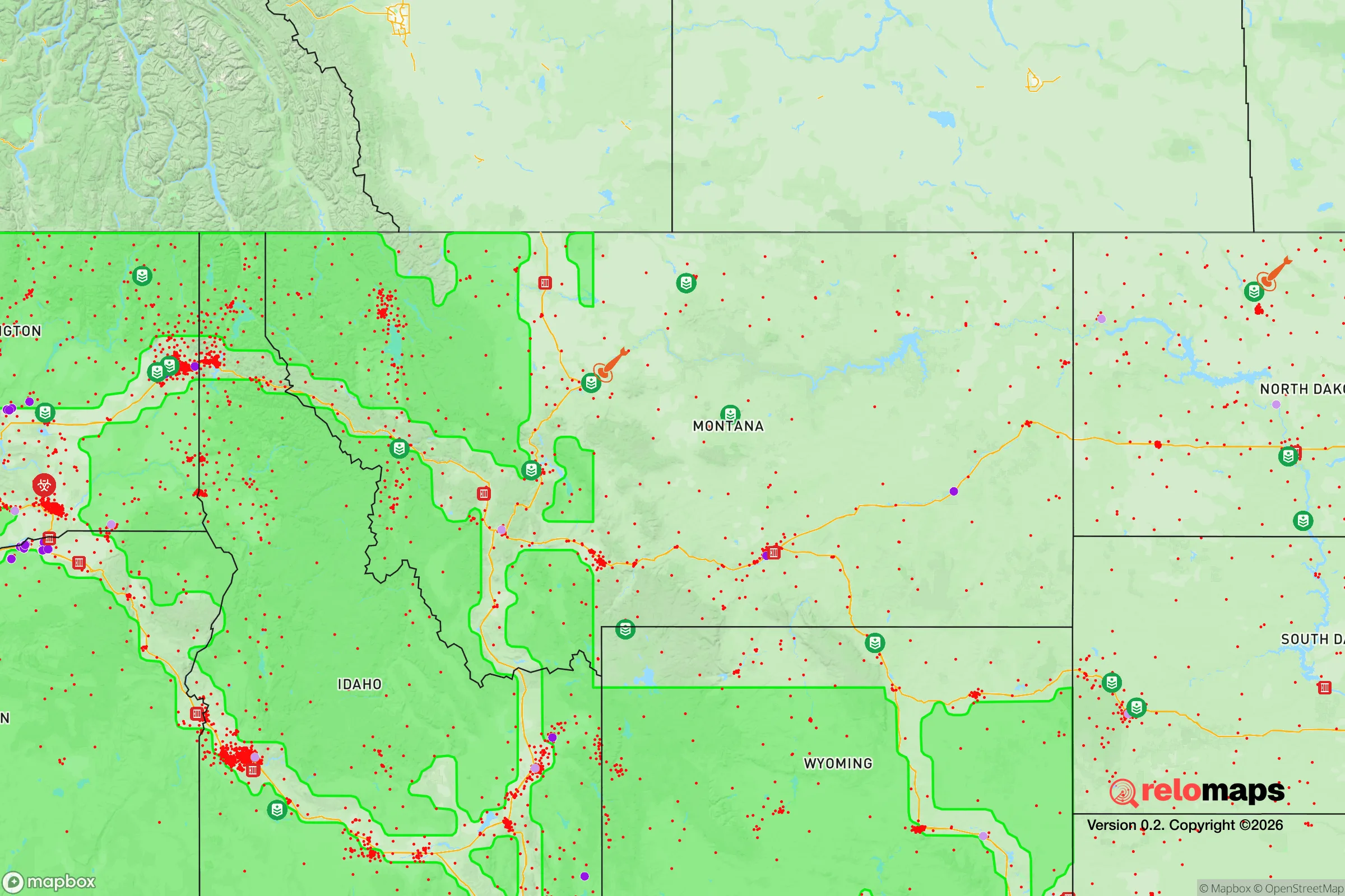

Important Note: For informational purposes only. This does not mean nothing bad ever happens in the green zones. Please use common sense. This is based on public data and modeled with AI. We tried to take a conservative approach but mistakes happen. We update this regularly as new information becomes available.
Solar Generator Recommendations
Backup power matters more here than in safer locations. We've picked three solar generators across budgets and capacity tiers — start with the budget unit if you only need a few essentials, or step up if you want to run a fridge and HVAC for days at a time.

Jackery Portable Power Station Explorer 300
Budget OptionPower on the Go: Weighing only 11 lbs, it's convenient to set up and store with book-sized foldable solar panels

BLUETTI Portable Power Station AC180
Designed for both indoor and outdoor scenarios, AC180 is highly capable as it has a robost capacity and continuous output power.

EF ECOFLOW DELTA Pro Ultra Power Station
Upgraded PickEcoFlow DELTA Pro Ultra is a whole-home energy system designed to grow with your family. Integrated with the Smart Home Panel 2, it scales to meet your evolving energy needs — keeping your home powered, intelligent, and secure through every stage of life.
We earn a commission, at no additional cost to you.
Strategic Assessment Analysis
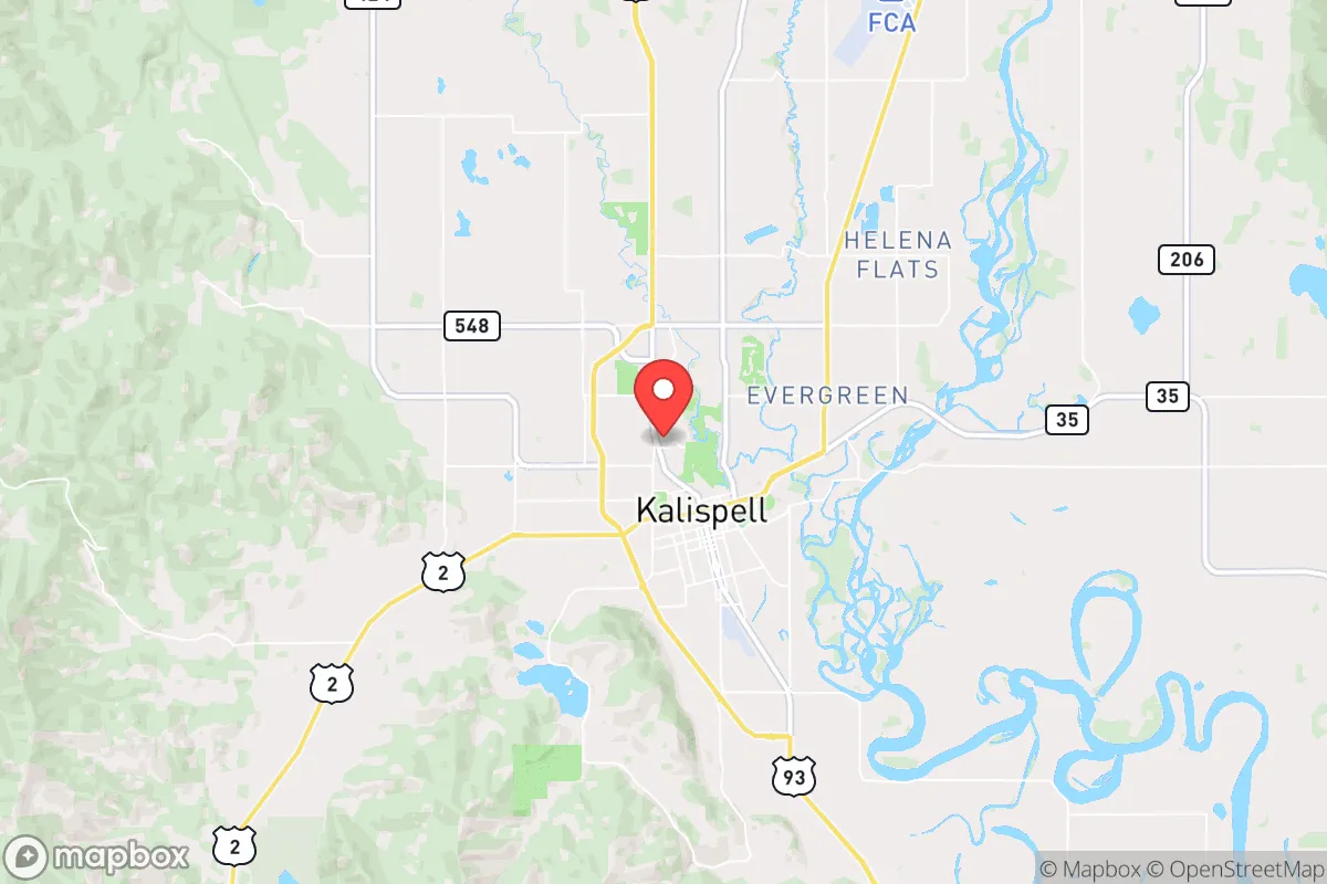
Kalispell, Montana, offers a compelling strategic position for those prioritizing resilience and self-sufficiency, sitting at the edge of the Flathead Valley with the Rocky Mountain front as a natural barrier. Its location roughly 30 miles from Glacier National Park and 100 miles from the Canadian border provides a buffer from major population centers, while the surrounding Flathead National Forest and state lands create a natural moat of rugged terrain. The area’s low population density—around 25,000 in the city proper and 105,000 in Flathead County—combined with its distance from major interstates and rail hubs, makes it a plausible relocation target for those seeking to avoid the fallout of coastal or metropolitan collapse scenarios.
Geographic position and natural advantages for long-term survival
Kalispell’s geography is its strongest asset for a prepper mindset. The Flathead Valley is ringed by the Swan, Mission, and Whitefish mountain ranges, creating a natural fortress that limits easy access from the south and east. The valley floor sits at 2,950 feet elevation, offering a moderate climate relative to the rest of Montana—winters are cold but not extreme, with average January lows around 18°F, and summers are mild with highs in the 80s. This allows for a longer growing season than much of the state, critical for food production. The area is also fed by the Flathead River system, which drains from Glacier National Park and provides abundant surface water. The Flathead Lake, the largest natural freshwater lake west of the Mississippi, sits 20 miles south and offers a massive water reserve that is less likely to be contaminated by industrial runoff or upstream disasters compared to rivers near cities. The surrounding forests and mountains also provide ample timber for construction, fuel, and defense, while the valley’s agricultural land—primarily hay, cattle, and some grain—supports local food production. For a relocator, this means a defensible position with built-in resources that don’t rely on fragile supply chains.
Risks, exposures, and proximity to fallout-relevant landmarks
No location is without vulnerabilities, and Kalispell has several that a strategic relocator must weigh. The most immediate risk is its proximity to the Flathead Valley’s own growth: the city has seen a 20% population increase since 2020, driven by remote workers and retirees, which strains local infrastructure and could create competition for resources in a crisis. The nearby Glacier National Park, while a natural asset, also draws over 3 million visitors annually, creating a transient population that could become a liability if a disaster triggers mass movement. More concerning is the area’s proximity to critical infrastructure: the Hungry Horse Dam, 15 miles east, is a major hydroelectric facility that, if compromised, could flood downstream areas including parts of Kalispell. The Columbia Falls Aluminum Company site, a Superfund cleanup location, sits 10 miles north and contains legacy industrial waste that could pose a contamination risk in a seismic event or if abandoned. On the national security front, Kalispell is roughly 150 miles from Malmstrom Air Force Base in Great Falls, which hosts nuclear missile silos—a potential target in a conflict scenario. While not a direct fallout zone, the prevailing westerly winds could carry particulate matter from a strike. Additionally, the area’s reliance on a single major highway—US 93—for north-south travel creates a chokepoint; any blockage at the Flathead Lake narrows or the Whitefish Pass could isolate the valley, which is both a defensive advantage and a logistical risk if evacuation or resupply is needed.
Practical resilience for a relocator: food, water, energy, and defensibility
For a relocator focused on self-sufficiency, Kalispell offers a mixed but workable picture. Water is abundant: the Flathead Valley aquifer is deep and clean, and surface water from the Flathead River and its tributaries is accessible with basic filtration. The local government has maintained a municipal water system that draws from the river, but a prepper should plan for a private well or rainwater catchment, as the city’s infrastructure could be vulnerable to power outages or cyberattacks. Food production is feasible but requires effort: the growing season is short (90-120 frost-free days), but cold-hardy crops like potatoes, carrots, kale, and apples thrive. The valley has a strong local farming community, with farmers’ markets and co-ops like the Kalispell Food Co-op, but reliance on these would be risky in a collapse—better to secure land for a garden and livestock. The area’s energy grid is tied to the Western Interconnection, with hydroelectric power from Hungry Horse Dam providing a relatively stable source, but a determined adversary could disrupt it. Solar is viable, with the valley averaging 200 sunny days per year, though winter cloud cover reduces output. Wood heating is the most reliable backup, given the surrounding forests. Defensibility is high: the valley’s natural barriers and limited entry points make it easier to monitor and control access than open plains or coastal areas. The local culture leans heavily toward self-reliance and firearm ownership, with a strong hunting tradition and a sheriff’s office that has publicly resisted federal overreach—factors that align with a survivalist mindset. However, the influx of new residents has diluted this somewhat, so building a trusted local network is essential.
Overall, Kalispell presents a strong strategic option for those prioritizing resilience against civic unrest, mass casualty events, and systemic collapse. Its natural defenses, abundant water, and low population density outweigh the risks posed by growth, infrastructure vulnerabilities, and proximity to potential targets. The key for a relocator is to act before the valley becomes overrun—land prices have risen 30% since 2020, and the window for affordable entry is closing. For a conservative-leaning individual or family seeking a place to weather the storm, Kalispell offers a realistic balance of isolation and access, provided you’re willing to invest in off-grid systems and integrate into a community that values preparedness. It’s not a perfect fortress, but in a world of increasing uncertainty, it’s one of the better bets in the lower 48.
* Values derived from national, state, county, city and local statistics and may differ in a specific area. Last updated: 2026-04-30T08:13:00.000Z
Narrative content on this page is AI-generated and may contain mistakes. Verify any details that matter before acting on them.
ReloMaps may earn a commission from affiliate links at no extra cost to you.