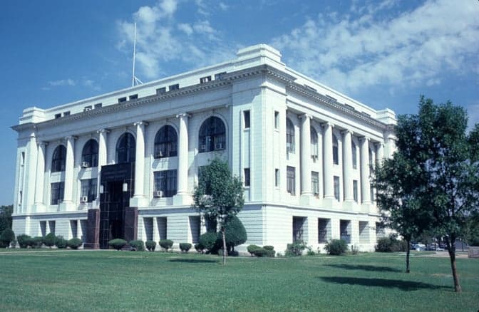

Photo: Wikipedia
Strategic Assessment of Barton County
Strong survivability profile. Good buffer from population centers, with manageable environmental and tactical risks.
What does the Strategic Assessment tell us?
Our Strategic Assessment grades tactical survivability of an area. Major population centers, military targets, fallout zones, natural disasters, and border exposure all drive risk — lower exposure means a more defensible position in a crisis.
This is heavily inspired by Joel Skousen's Strategic Relocation book. Highly recommended you checkout the book ($)What does this tell us?
Our Strategic Assessment grades tactical survivability of an area. Major population centers, military targets, fallout zones, natural disasters, and border exposure all drive risk — lower exposure means a more defensible position in a crisis.
This is heavily inspired by Joel Skousen's Strategic Relocation book. Highly recommended you checkout the book ($)Strategic Pillars

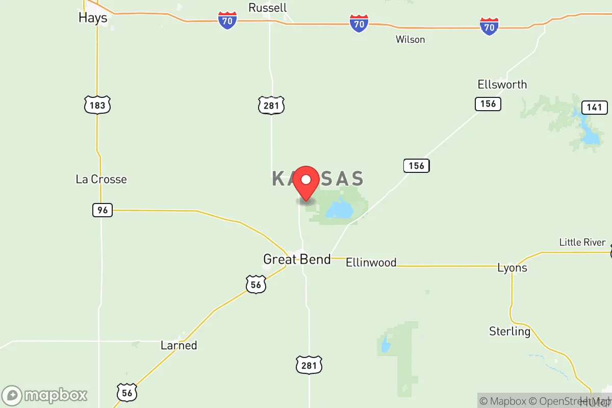
Key Distances
Strategic Assessment Analysis
Barton County, Kansas, offers a strategic relocation option for those prioritizing resilience and distance from major population centers, anchored by the city of Great Bend. Its position in central Kansas places it far from coastal threats and major metropolitan chokepoints, while still providing access to essential infrastructure and agricultural resources. For a conservative-leaning individual or family focused on preparedness, this area presents a compelling balance of isolation and practical self-sufficiency, though it is not without its own set of regional risks.
Geographic position and natural advantages for long-term stability
Barton County sits in the heart of the Great Plains, roughly 250 miles from the Denver metro area and over 300 miles from Kansas City. This distance from major urban centers is a primary advantage for those concerned with civil unrest or mass casualty events, as the county is unlikely to be a primary target or a destination for fleeing populations. The terrain is flat to gently rolling, with the Arkansas River running through the southern part of the county, providing a reliable water source. The area is part of the High Plains aquifer system, which supports extensive agriculture—primarily wheat, corn, and sorghum—along with cattle ranching. This agricultural base means that local food production is a tangible reality, not just a theoretical benefit. The climate is semi-arid, with hot summers and cold winters, but it avoids the extreme weather patterns of tornado alley’s core, though severe storms are still possible. The county’s low population density—roughly 26,000 people spread over 900 square miles—means that in a crisis, competition for resources would be far less intense than in suburban or urban settings.
Risks, exposures, and proximity to fallout-relevant landmarks
While Barton County is far from coastal targets, it is not entirely free from risk. The most significant concern is the proximity to the McConnell Air Force Base in Wichita, about 100 miles southeast. McConnell is a key tanker and refueling hub for the U.S. Air Force, housing KC-135 and KC-46 aircraft, and is a potential target in a major conflict. A ground burst at McConnell could produce fallout that, depending on wind patterns, might reach Barton County within hours. Additionally, the Keystone Pipeline system runs through central Kansas, including a segment near Great Bend. While not a target in the same sense as a military base, a pipeline rupture or sabotage event could create localized contamination or disruption. The county also sits near the Sterling and Lyons salt mines (about 50 miles east), which are used for strategic petroleum storage—another potential secondary target. On the positive side, there are no nuclear power plants, major refineries, or large chemical facilities within the county itself. The nearest major refinery is in Coffeyville, over 200 miles away. The primary risk is therefore not direct attack, but fallout drift from a strike on Wichita or, less likely, from a major event at the Fort Riley military installation (about 120 miles northeast). For a relocator, this means a robust fallout shelter and a good understanding of prevailing winds (typically west-to-east) are essential, but the overall threat profile is lower than for counties closer to the I-35 corridor or the Missouri River.
Practical resilience for a relocator: food, water, energy, and defensibility
For a family or individual serious about self-reliance, Barton County offers tangible advantages. Water is the most critical resource, and the Arkansas River and the High Plains aquifer provide a reliable supply. Many rural properties have private wells, and the county’s water districts are well-maintained. In a grid-down scenario, hand pumps or solar-powered pumps on existing wells would be viable. Food resilience is strong: the county is surrounded by working farms and ranches. Establishing relationships with local producers before a crisis is straightforward, and the Great Bend Farmers Market operates seasonally. Hunting (deer, pheasant, quail) and fishing (in the Arkansas River and Cheyenne Bottoms Wildlife Area) provide additional protein sources. Energy resilience is more challenging. The county is served by Midwest Energy, a cooperative that offers net metering for solar, making off-grid solar a realistic investment. Natural gas is available in Great Bend and smaller towns like Hoisington and Ellinwood, but rural properties often rely on propane. Wood for heating is scarce on the open plains, so a backup heating plan (propane, kerosene, or passive solar) is necessary. Defensibility is excellent due to low population density and wide-open sightlines. A rural property with a good well, solar array, and a root cellar or basement can be made very secure. The local culture is heavily conservative, with strong support for the Second Amendment, and the Barton County Sheriff’s Office is professional but not overbearing. The biggest practical challenge is the distance to specialized medical care—the nearest Level 1 trauma center is in Wichita, 100 miles away. A serious injury or illness would require a long drive, so a well-stocked medical kit and training are non-negotiable.
The overall strategic picture for Barton County is one of a solid, if unglamorous, relocation option for those prioritizing distance from targets and access to agricultural resources. It lacks the dramatic mountain defenses of the West or the water abundance of the Great Lakes region, but it compensates with a stable, conservative community, low crime rates, and a proven agricultural economy. The primary threats—fallout from Wichita and the Keystone Pipeline—are manageable with proper planning. For a family willing to invest in a well, solar power, and a fallout shelter, Barton County offers a realistic path to long-term resilience without the extreme isolation of the Dakotas or the high costs of the Ozarks. It is not a bug-out location for a weekend; it is a place to build a life that is already prepared for the worst.
* Values derived from national, state, county, city and local statistics and may differ in a specific area. Last updated: 2026-05-11T23:27:15.000Z
Narrative content on this page is AI-generated and may contain mistakes. Verify any details that matter before acting on them.
ReloMaps may earn a commission from affiliate links at no extra cost to you.