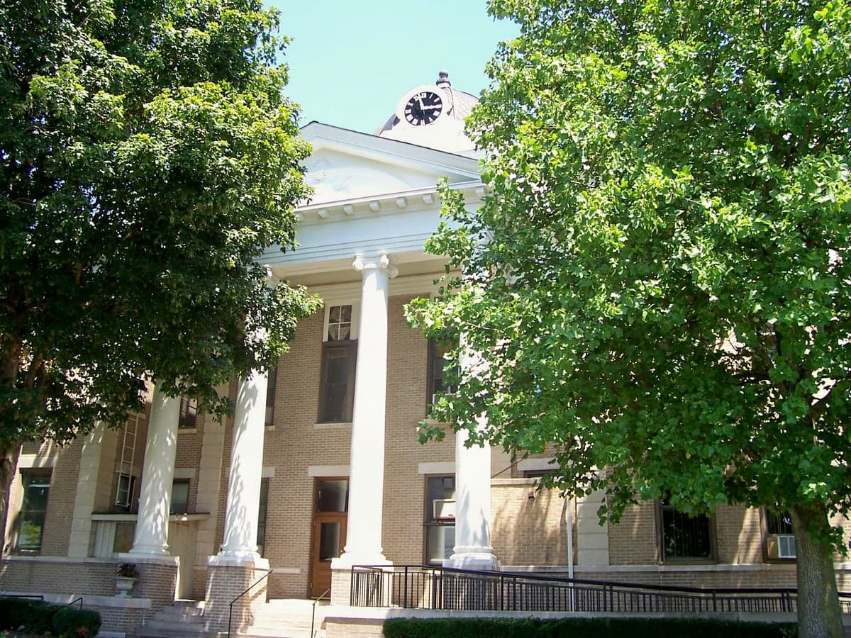
Photo: Wikipedia
Strategic Assessment of Calloway County
Workable tactical position. Some exposure to population density or targets, but generally defensible in a crisis.
What does the Strategic Assessment tell us?
Our Strategic Assessment grades tactical survivability of an area. Major population centers, military targets, fallout zones, natural disasters, and border exposure all drive risk — lower exposure means a more defensible position in a crisis.
This is heavily inspired by Joel Skousen's Strategic Relocation book. Highly recommended you checkout the book ($)What does this tell us?
Our Strategic Assessment grades tactical survivability of an area. Major population centers, military targets, fallout zones, natural disasters, and border exposure all drive risk — lower exposure means a more defensible position in a crisis.
This is heavily inspired by Joel Skousen's Strategic Relocation book. Highly recommended you checkout the book ($)Strategic Pillars

Key Distances
Strategic Assessment Analysis
Calloway County, Kentucky, offers a compelling strategic profile for the relocation-minded reader prioritizing resilience and self-sufficiency. Its position in the Jackson Purchase region, anchored by the city of Murray and the campus of Murray State University, provides a blend of rural stability and institutional infrastructure that is rare to find. The county’s distance from major metropolitan targets—roughly 200 miles from Nashville, 250 from St. Louis, and 300 from Memphis—places it well outside the immediate blast and fallout zones of any high-value strategic assets, while still being within a day’s drive of multiple regional supply chains and medical centers. This geographic buffer, combined with a robust local economy and a community that values preparedness, makes Calloway County a serious contender for anyone looking to build a long-term, resilient home base.
Geographic position and natural advantages for long-term stability
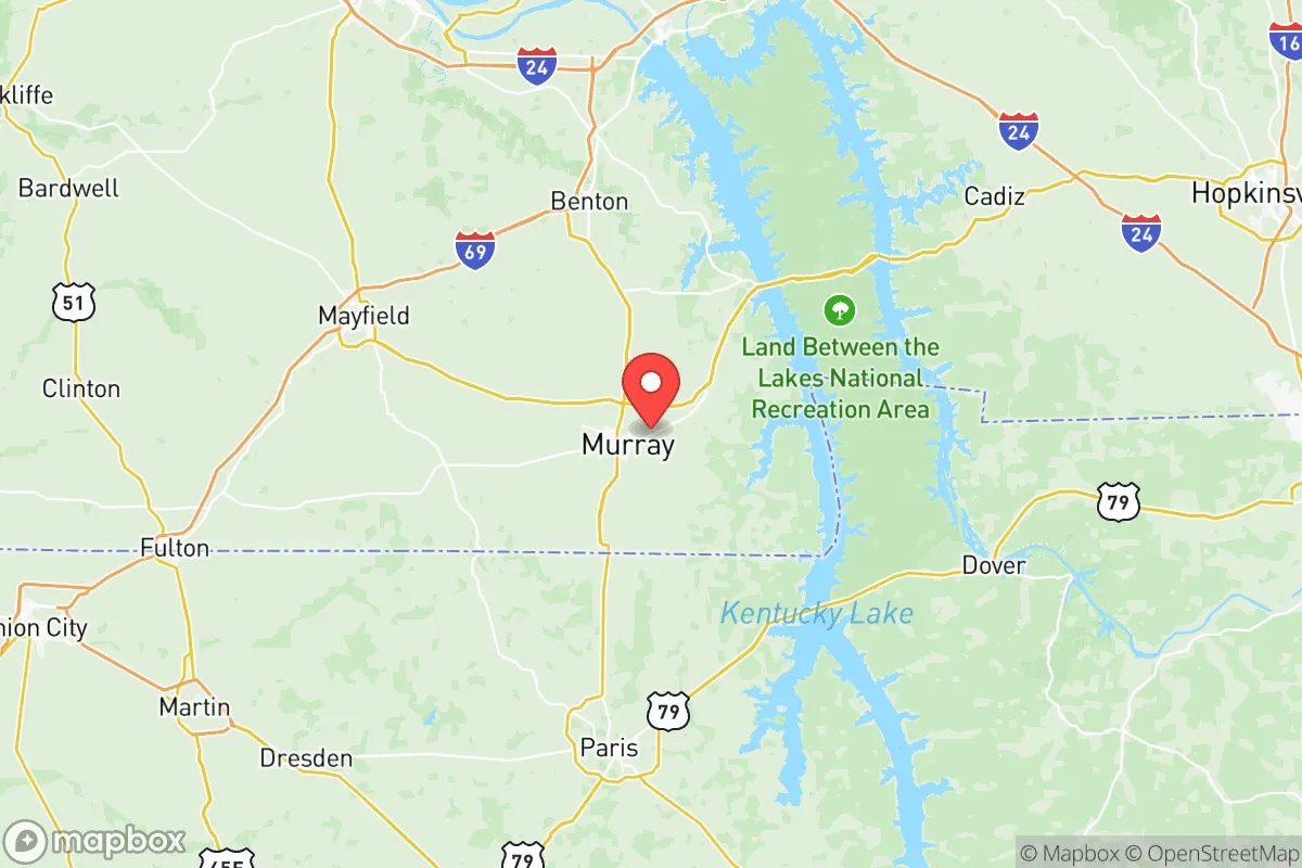
Calloway County sits in the far western corner of Kentucky, bordered by the Tennessee state line and the eastern shore of Kentucky Lake, one of the largest man-made lakes in the eastern United States. This location offers a unique set of natural advantages. The county is part of the Mississippi Embayment, a region with relatively flat, fertile soils and a temperate climate that supports a long growing season—typically from April through October. The presence of Kentucky Lake and the adjacent Lake Barkley (part of the Land Between the Lakes National Recreation Area) provides an immense freshwater reservoir, with Kentucky Lake alone holding over 4 million acre-feet of water. For a relocator, this means access to a virtually inexhaustible water source for drinking, irrigation, and livestock, even during drought conditions that plague other parts of the country. The terrain is gently rolling, with no significant mountain passes or chokepoints that would make the area vulnerable to natural disaster cascades like landslides or flash flooding, though low-lying areas near the lakes can see seasonal flooding. The county’s position also places it within the Tennessee Valley Authority (TVA) power grid, which is one of the most reliable and diversified in the nation, drawing from hydroelectric, coal, natural gas, and nuclear sources. The nearest major nuclear facility is the TVA’s Watts Bar Nuclear Plant in Tennessee, roughly 100 miles southeast—close enough to be a concern for a worst-case scenario, but far enough that a catastrophic release would likely be diluted before reaching Calloway County.
Risks, exposures, and proximity to fallout-relevant landmarks
While Calloway County benefits from its distance from primary strategic targets, it is not without exposure. The most significant man-made risk is the proximity to the Fort Campbell Army base, located about 50 miles west in Hopkinsville, Kentucky, and Clarksville, Tennessee. Fort Campbell is home to the 101st Airborne Division and the 5th Special Forces Group, making it a high-value military target in any conflict scenario. A strike on Fort Campbell could generate a significant fallout plume, and prevailing winds in the region are generally from the west and southwest, which would carry contamination toward Calloway County. However, the 50-mile distance provides a meaningful buffer—most fallout models suggest that lethal radiation levels drop off significantly beyond 20-30 miles from a ground burst, and the county’s position east-northeast of the base means it is not in the most likely downwind path. Other nearby risks include the chemical plants and refineries along the Ohio River in western Kentucky and southern Illinois, such as the Marathon Petroleum refinery in Robinson, Illinois (about 120 miles north) and the various industrial facilities in Paducah, Kentucky (about 40 miles north). Paducah is also home to the former Paducah Gaseous Diffusion Plant, a decommissioned uranium enrichment facility that still holds significant radioactive waste. A conventional attack on that site could release hazardous materials, but again, the distance and prevailing wind patterns reduce the likelihood of a direct impact on Calloway County. Natural risks are more mundane but real: the region is in a moderate seismic zone, with the New Madrid Seismic Zone about 100 miles to the southwest. A major earthquake there could cause significant ground shaking and liquefaction in the Mississippi River floodplain, but Calloway County’s location on higher ground east of the river reduces the risk of catastrophic damage. Tornadoes are a seasonal threat, as the county sits at the northern edge of Dixie Alley, but the relatively low population density and open terrain mean that warning times are generally adequate.
Practical resilience for a relocator: food, water, energy, and defensibility
For a relocator focused on self-sufficiency, Calloway County offers strong fundamentals. Water security is excellent: Kentucky Lake provides a massive, reliable freshwater source, and the county’s groundwater aquifers are generally productive, with many rural properties able to drill wells at depths of 100-300 feet. The Murray City Water System also draws from the lake, providing treated water to the city and surrounding areas. Food production is viable: the growing season is long enough for most staple crops (corn, soybeans, wheat, and vegetables), and the county has a strong agricultural base, with numerous small farms, orchards, and livestock operations. The Calloway County Farmers Market in Murray operates from April through October, and local food networks are well-established. For those looking to hunt or fish, Kentucky Lake and the surrounding public lands offer abundant deer, turkey, waterfowl, and fish (bass, crappie, catfish). Energy resilience is moderate: the TVA grid is reliable, but a long-term grid-down scenario would require backup generation. Solar potential is decent but not exceptional—the region averages about 4.5 peak sun hours per day, which is sufficient for a well-designed off-grid system but not as good as the Southwest. Wood heating is a practical option, as the county is heavily forested with mixed hardwoods, and firewood is readily available. Defensibility is a mixed picture: the terrain is open and rolling, with few natural chokepoints, making it difficult to secure a large perimeter. However, the low population density (about 75 people per square mile) and the prevalence of rural properties with good sightlines and limited road access offer some advantages. The city of Murray itself is a small college town (population ~18,000) with a police force and a county sheriff’s office, but in a prolonged crisis, law enforcement resources would be stretched thin. The best strategy for a relocator would be to secure a property on the outskirts of the county, away from major roads and with a reliable water source, rather than in the town center. The presence of Murray State University also provides a potential community hub and resource center, with its agricultural extension programs, veterinary school, and emergency management training facilities.
Overall, Calloway County presents a strong strategic picture for the serious relocator. Its primary advantages are its distance from major strategic targets, its abundant freshwater resources, and its productive agricultural land. The main risks are the proximity to Fort Campbell and the potential for fallout from a strike on that base, as well as the seasonal tornado threat. For a family or individual willing to invest in a well, solar panels, and a defensible rural property, the county offers a solid foundation for long-term resilience. The local community is generally conservative and self-reliant, with a strong tradition of hunting, fishing, and gardening, which aligns well with a preparedness mindset. While no location is perfect, Calloway County’s combination of natural resources, institutional infrastructure, and geographic buffer makes it one of the more viable options in the eastern United States for those thinking seriously about disaster readiness and self-sufficiency.

* Values derived from national, state, county, city and local statistics and may differ in a specific area. Last updated: 2026-08-24T13:15:29.000Z
Narrative content on this page is AI-generated and may contain mistakes. Verify any details that matter before acting on them.
ReloMaps may earn a commission from affiliate links at no extra cost to you.

