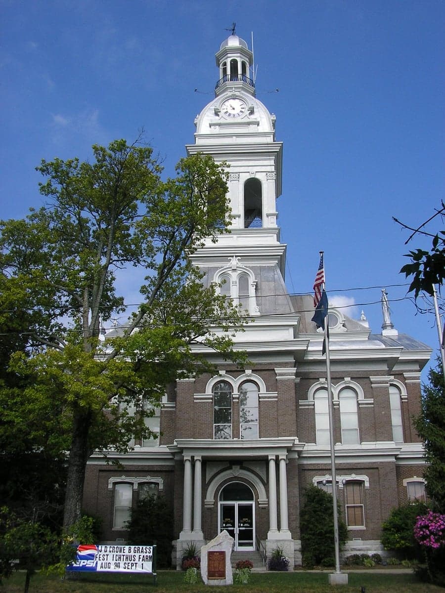
Photo: Wikipedia
Strategic Assessment of Jessamine County
Meaningful friction. Expect exposure to either population pressure, blast zones, or natural disaster risk. Consider buying a retreat property.
What does the Strategic Assessment tell us?
Our Strategic Assessment grades tactical survivability of an area. Major population centers, military targets, fallout zones, natural disasters, and border exposure all drive risk — lower exposure means a more defensible position in a crisis.
This is heavily inspired by Joel Skousen's Strategic Relocation book. Highly recommended you checkout the book ($)What does this tell us?
Our Strategic Assessment grades tactical survivability of an area. Major population centers, military targets, fallout zones, natural disasters, and border exposure all drive risk — lower exposure means a more defensible position in a crisis.
This is heavily inspired by Joel Skousen's Strategic Relocation book. Highly recommended you checkout the book ($)Strategic Pillars

Key Distances
Strategic Assessment Analysis
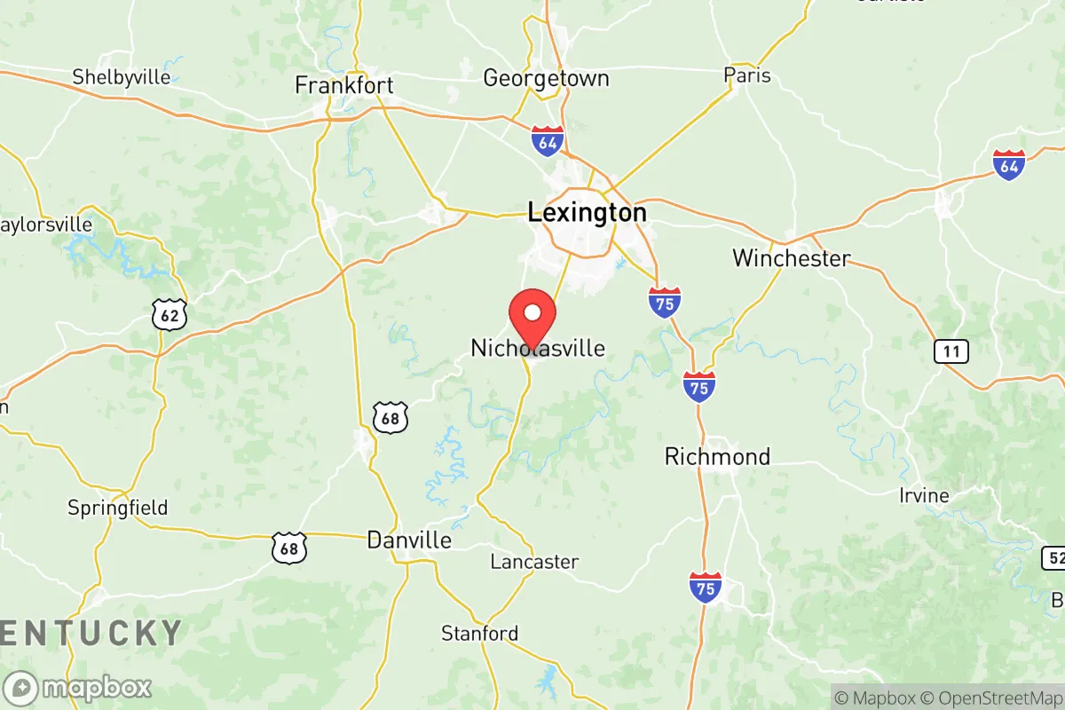
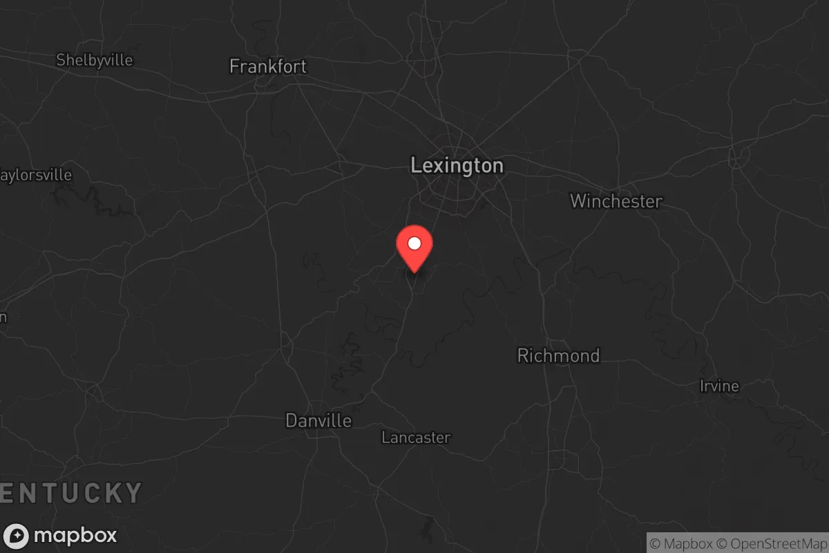
Jessamine County, Kentucky, offers a strategic sweet spot for those prioritizing resilience and self-reliance, sitting just south of Lexington but far enough from major urban centers to avoid the worst of civil unrest or infrastructure collapse. Its location along the US-27 corridor provides quick access to both rural retreat and regional resources, while the Kentucky River cuts through the county’s western edge, offering a natural water source and a defensible boundary. For a conservative-leaning relocator concerned with societal fragility, this county balances proximity to essential services with the buffer needed to weather disruptions—whether from economic shocks, natural disasters, or broader instability.
Geographic position and natural advantages for long-term security
Jessamine County’s geography is a quiet asset. The Kentucky River forms its western border, creating a natural moat that slows movement from that direction—useful if you’re thinking about perimeter security or evacuation routes. The county sits in the Inner Bluegrass region, meaning rolling hills and limestone bedrock, which supports reliable groundwater and reduces flood risk compared to river-bottom areas. The Palisades, a series of steep cliffs along the river, offer defensible high ground near communities like Wilmore and High Bridge. These features make the area less vulnerable to the kind of flooding that plagues western Kentucky or the tornado alley zones further west. For a prepper, the limestone geology also means stable foundations for underground storage or bunkers, and the clay-rich soil can be worked for gardening without heavy machinery. The county’s elevation—averaging around 900 feet—keeps it above the worst of valley fog and reduces the risk of chemical or particulate settling from distant fallout.
Risks, exposures, and proximity to fallout-relevant landmarks
No location is immune, and Jessamine County has its vulnerabilities. The biggest concern is its proximity to Lexington, just 15 miles north, which houses the University of Kentucky’s research reactors and the Blue Grass Army Depot—a chemical weapons storage and destruction site. While the depot is actively destroying its stockpile, any accident or targeted attack could release nerve agents or toxic byproducts. The prevailing winds from the southwest mean fallout from a Lexington event would likely drift toward Jessamine County, not away from it. Further south, the Tennessee Valley Authority’s coal and nuclear plants (like the Sequoyah Nuclear Plant near Chattanooga) are within 200 miles, and a major release could affect the region depending on weather patterns. On the plus side, Jessamine County has no major refineries, ports, or military bases within its borders—Fort Knox is about 90 miles west, and the Blue Grass Army Depot is the only high-value target nearby. The county’s rural character, with small towns like Nicholasville (the county seat) and Wilmore, means fewer concentrated populations to attract looting or civil unrest. However, the US-27 corridor is a natural chokepoint; if Lexington empties during a crisis, that road could become a clogged escape route rather than a lifeline.
Practical resilience for a relocator: food, water, energy, and defensibility
For someone serious about self-sufficiency, Jessamine County delivers on the basics. The Kentucky River provides a year-round water source, though you’ll need a filtration system—agricultural runoff and upstream sewage are real concerns. The county’s agricultural base means local food production is viable; there are working farms near Keene and Brannon Woods that could be bartered with or bought into. The soil is fertile for gardens, and the growing season runs from April to October, long enough for staple crops like corn, beans, and squash. Energy resilience is mixed: the grid is reliable day-to-day, but rural areas can see outages during ice storms (common in January and February). Solar panels are a good bet here—the county gets about 200 sunny days per year, and there are no HOA restrictions in unincorporated areas that would block installation. For defensibility, the Palisades offer natural cover, and the river crossings at High Bridge and the Wilmore ferry (though seasonal) can be monitored. The county’s population density is low—about 200 people per square mile in Nicholasville, dropping to under 50 in the rural south—which reduces the risk of mass panic or resource competition. That said, the county is not a fortress; it’s a working landscape where being a good neighbor matters more than barbed wire. If you’re looking for a place to ride out a long-term disruption, Jessamine County’s combination of water access, arable land, and low-key infrastructure makes it a solid choice for a small group or family.
The overall strategic picture for Jessamine County is one of calculated trade-offs. It’s close enough to Lexington to access medical care, hardware stores, and fuel supplies, but far enough that you won’t be caught in the initial wave of urban chaos. The Kentucky River and the Palisades provide natural buffers, and the agricultural economy means you can source food locally without relying on fragile supply chains. The main risks—proximity to the Blue Grass Army Depot and the potential for Lexington’s population to flee south—are real but manageable with planning, like having alternate routes (KY-29 and KY-39) and a well-stocked water filtration system. For a conservative relocator who values community, self-reliance, and a low profile, Jessamine County offers a defensible base without the isolation of deep rural areas. It’s not a bunker, but it’s a place where you can build a life that’s resilient to the shocks of a destabilizing world.
* Values derived from national, state, county, city and local statistics and may differ in a specific area. Last updated: 2026-05-27T20:12:11.000Z
Narrative content on this page is AI-generated and may contain mistakes. Verify any details that matter before acting on them.
ReloMaps may earn a commission from affiliate links at no extra cost to you.