
Photo: Wikipedia
Strategic Assessment of Blue Earth County
Strong survivability profile. Good buffer from population centers, with manageable environmental and tactical risks.
What does the Strategic Assessment tell us?
Our Strategic Assessment grades tactical survivability of an area. Major population centers, military targets, fallout zones, natural disasters, and border exposure all drive risk — lower exposure means a more defensible position in a crisis.
This is heavily inspired by Joel Skousen's Strategic Relocation book. Highly recommended you checkout the book ($)What does this tell us?
Our Strategic Assessment grades tactical survivability of an area. Major population centers, military targets, fallout zones, natural disasters, and border exposure all drive risk — lower exposure means a more defensible position in a crisis.
This is heavily inspired by Joel Skousen's Strategic Relocation book. Highly recommended you checkout the book ($)Strategic Pillars

Key Distances
Strategic Assessment Analysis
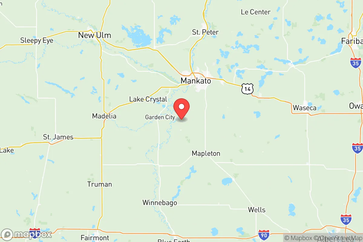
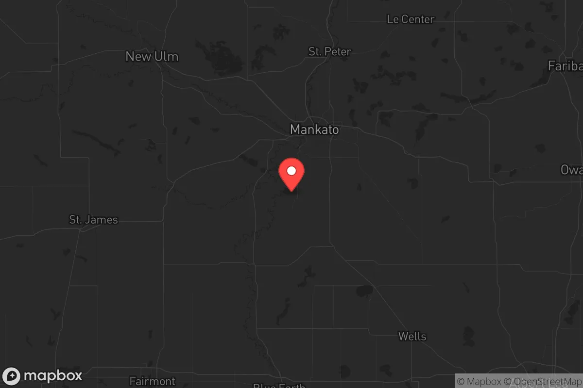
Blue Earth County, anchored by Mankato, offers a strategic blend of agricultural self-sufficiency and geographic insulation that appeals to those prioritizing long-term resilience. Its position along the Minnesota River Valley provides natural defensibility and water access, while the county’s distance from major metropolitan targets—roughly 80 miles southwest of Minneapolis-St. Paul—reduces exposure to fallout from a high-value strike or civil unrest cascade. For a relocator with a prepper mindset, the area’s combination of fertile soil, a modest population density of about 68 people per square mile, and a conservative-leaning rural culture creates a viable base for sustained independence, though proximity to the metro’s secondary risks requires careful site selection.
Geographic position and natural advantages for long-term survival
Blue Earth County sits at the confluence of the Minnesota and Blue Earth Rivers, a hydrological asset that supports both irrigation and a reliable freshwater source in a grid-down scenario. The county’s topography is predominantly flat to gently rolling glacial plains, which simplifies farming and construction but offers limited natural cover—meaning defensibility relies more on property layout and community networks than terrain. Mankato, the county seat and largest city with roughly 45,000 residents, serves as a regional hub for supplies and medical care, but its size also makes it a potential target for looting or resource competition during a crisis. Smaller towns like Lake Crystal (pop. 2,500) and Mapleton (pop. 1,700) offer lower visibility and better buffer zones, with farmland stretching between them that can support decentralized food production. The county’s location along U.S. Highway 169 and State Highway 60 provides evacuation routes north toward the metro or south toward Iowa, but these same roads could become chokepoints during a mass exodus—a factor to weigh when choosing a retreat property.
Risks, exposures, and proximity to fallout-relevant landmarks
The primary strategic risk for Blue Earth County is its relative proximity to the Minneapolis-St. Paul metropolitan area, a likely target for a nuclear strike or large-scale civil unrest given its economic and political significance. Fallout patterns from a detonation in the Twin Cities would depend on wind direction, but prevailing westerlies mean the county could see contamination within 24-48 hours, especially if the strike occurs during spring or summer. Additionally, the county lies about 120 miles from the Prairie Island Nuclear Generating Plant near Red Wing, a potential secondary hazard if a meltdown or sabotage event occurs. While Blue Earth County itself has no major military bases or refineries, the nearby Mankato Regional Airport could become a target for air-dropped supplies or a staging area for federal forces, drawing unwanted attention. The county’s agricultural economy—dominated by corn and soybean farms—means diesel and fertilizer storage sites are scattered across the landscape, posing explosion or contamination risks if disrupted. For a relocator, the key takeaway is that while the county avoids direct targeting, its position within 100 miles of a primary metro and a nuclear facility demands a robust fallout shelter and a pre-planned evacuation route south toward Iowa or west toward South Dakota.
Practical resilience for a relocator: food, water, energy, and defensibility
Blue Earth County’s agricultural base is its strongest asset for long-term survival. The county’s rich, loamy soil supports high-yield crops, and the growing season of roughly 150 days allows for diverse gardening—potatoes, beans, squash, and grains can be cultivated without heavy reliance on inputs. Water access is excellent: the Minnesota River provides a surface source, and the region’s glacial aquifers offer reliable well water at depths of 50-150 feet, though testing for agricultural runoff is advisable. For energy, the county’s flat terrain limits hydroelectric potential, but wind speeds average 15-18 mph, making small-scale wind turbines viable for off-grid setups. Solar panels also perform well, with about 200 sunny days per year, though winter snow cover requires regular clearing. Defensibility is a mixed bag: the open farmland offers clear sightlines for perimeter security, but it also leaves properties exposed to approach from multiple directions. A retreat in the Rapidan Township area, near the county’s southern edge, benefits from wooded creek valleys that provide natural cover and isolation from main roads. Community resilience is bolstered by a strong local gun culture—Minnesota is a shall-issue state for concealed carry, and rural residents are generally armed and self-reliant—but the county’s population includes a significant student population at Minnesota State University, Mankato, which could introduce ideological friction during unrest. Stockpiling ammunition, medical supplies, and spare parts for farm equipment is critical, as the nearest major supply centers in the Twin Cities could be inaccessible.
Overall, Blue Earth County presents a solid but not exceptional strategic picture for the conservative prepper. Its strengths—abundant water, fertile land, low crime rates, and a self-sufficient rural ethos—outweigh its vulnerabilities, provided the relocator chooses a property outside Mankato’s immediate orbit and invests in fallout mitigation. The county’s distance from primary targets buys time, but the Twin Cities’ shadow means no location in southern Minnesota is truly safe from secondary effects like refugee flows or supply chain collapse. For a single individual or family willing to dig a shelter, store a year’s worth of supplies, and integrate into local farming networks, Blue Earth County offers a viable base for riding out a decade of instability. The real test will be whether the community’s conservative values hold under pressure—and whether the relocator can secure a defensible plot before the next crisis hits.
* Values derived from national, state, county, city and local statistics and may differ in a specific area. Last updated: 2026-06-06T23:11:41.000Z
Narrative content on this page is AI-generated and may contain mistakes. Verify any details that matter before acting on them.
ReloMaps may earn a commission from affiliate links at no extra cost to you.