
Photo: Wikipedia
Strategic Assessment of Churchill County
Strong survivability profile. Good buffer from population centers, with manageable environmental and tactical risks.
What does the Strategic Assessment tell us?
Our Strategic Assessment grades tactical survivability of an area. Major population centers, military targets, fallout zones, natural disasters, and border exposure all drive risk — lower exposure means a more defensible position in a crisis.
This is heavily inspired by Joel Skousen's Strategic Relocation book. Highly recommended you checkout the book ($)What does this tell us?
Our Strategic Assessment grades tactical survivability of an area. Major population centers, military targets, fallout zones, natural disasters, and border exposure all drive risk — lower exposure means a more defensible position in a crisis.
This is heavily inspired by Joel Skousen's Strategic Relocation book. Highly recommended you checkout the book ($)Strategic Pillars

Key Distances
Strategic Assessment Analysis
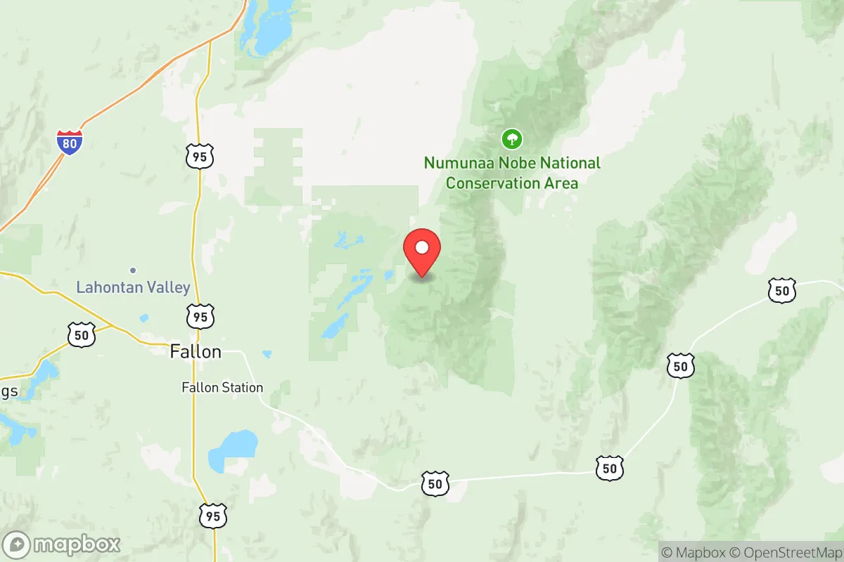
Churchill County, Nevada, offers a strategic relocation option for those prioritizing resilience, self-sufficiency, and distance from the vulnerabilities of major urban centers. Its position in the high desert, anchored by the city of Fallon and the Naval Air Station Fallon, provides a unique blend of remote security and functional infrastructure that appeals to a conservative, prepper-oriented mindset. The area’s low population density, arid climate, and relative isolation from coastal threats and major population corridors make it a defensible and sustainable choice for individuals and families looking to weather potential civic unrest, economic collapse, or large-scale disasters.
Geographic position and natural advantages for long-term security
Churchill County sits in west-central Nevada, roughly 60 miles east of Reno and 90 miles west of the state’s more remote interior. Its key geographic asset is the Lahontan Valley, a fertile basin fed by the Carson River and the Truckee-Carson Irrigation District, which provides a rare reliable water source in the Great Basin. This water access, combined with the region’s high desert climate—low humidity, minimal flood risk, and over 300 days of sunshine annually—creates a stable environment for off-grid living and small-scale agriculture. The surrounding Stillwater Range and Desatoya Mountains offer natural barriers to the east and west, limiting easy access from major highways and providing defensible terrain. Fallon itself sits at an elevation of about 3,900 feet, which moderates summer heat and reduces wildfire risk compared to lower-elevation desert areas. For a relocator, this means a location that is not only remote but also ecologically viable for long-term habitation without reliance on fragile supply chains.
Risks, exposures, and proximity to fallout-relevant landmarks
No location is without risk, and Churchill County has specific exposures that a strategic relocator must weigh. The most significant is the presence of Naval Air Station Fallon, a major military installation that hosts the Navy’s TOPGUN program. While this base provides economic stability and a potential source of skilled labor, it also makes Fallon a high-value target in any conflict scenario involving state-level adversaries. The base’s airfield and munitions storage areas are obvious points of interest for a first-strike or sabotage event. Additionally, the county lies within 150 miles of Yucca Mountain, the proposed nuclear waste repository, though its current status as a non-operational site reduces immediate fallout risk. The Wabuska area, a small unincorporated community south of Fallon, sits near the Fort Churchill historic site and the Walker River Paiute Tribe lands, which are sparsely populated but could become chokepoints during a regional evacuation. The primary risk, however, is not from direct attack but from the potential for cascading failures in the event of a major earthquake along the Walker Lane seismic zone, which runs through the county. A significant quake could disrupt the Carson River water supply and damage the Derby Dam, which controls irrigation flows. For a prepper, these risks are manageable with proper planning—unlike the existential threats of living near a major port or refinery corridor.
Practical resilience for a relocator: food, water, energy, and defensibility
Churchill County’s practical resilience is its strongest selling point. Water is the most critical resource, and the county’s access to the Carson River and the Lahontan Reservoir provides a reliable surface water source that is rare in the Great Basin. The Truckee-Carson Irrigation District manages a network of canals that support local farms, meaning a relocator with land can secure water rights for gardening or livestock. Food production is viable: the county has a small but active agricultural sector, including alfalfa, hay, and some vegetable crops, and the Fallon Farmers Market operates seasonally. For long-term storage, the dry climate reduces spoilage risks. Energy is a mixed picture. The county is served by NV Energy, but the grid is vulnerable to outages from winter storms or seismic events. However, the high solar insolation makes photovoltaic systems highly effective, and many rural properties already have off-grid setups. The Stillwater National Wildlife Refuge area offers open land for wind or solar installations, though permits are required. Defensibility is strong: the county’s layout, with Fallon as the only incorporated city and the rest of the population spread across unincorporated areas like Hazen and Middlegate, means a relocator can choose a property with clear sightlines and limited access points. The US Highway 50 corridor, known as the "Loneliest Road in America," runs through the county, but it is easily monitored and can be blocked at strategic points. For a family, the Churchill County School District offers a small, community-oriented education system, and the Fallon Emergency Medical Services provide basic care, though serious trauma cases require transport to Reno. The overall picture is one of a location that demands self-reliance but rewards it with genuine security.
The strategic picture for Churchill County is clear: it is a viable redoubt for those who prioritize distance from coastal population centers, military targets, and industrial fallout zones. Its water access, agricultural potential, and defensible terrain outweigh the risks posed by the naval air station and seismic activity, provided a relocator invests in off-grid energy and water storage. For a conservative-leaning individual or family, the county offers a low-profile, high-resilience environment where community ties are strong and government overreach is minimal. The key is to act before the region becomes more widely recognized as a safe haven—because once the collapse scenarios materialize, Fallon’s quiet desert will no longer be a secret.
* Values derived from national, state, county, city and local statistics and may differ in a specific area. Last updated: 2026-05-12T08:38:46.000Z
Narrative content on this page is AI-generated and may contain mistakes. Verify any details that matter before acting on them.
ReloMaps may earn a commission from affiliate links at no extra cost to you.