
Photo: Wikipedia
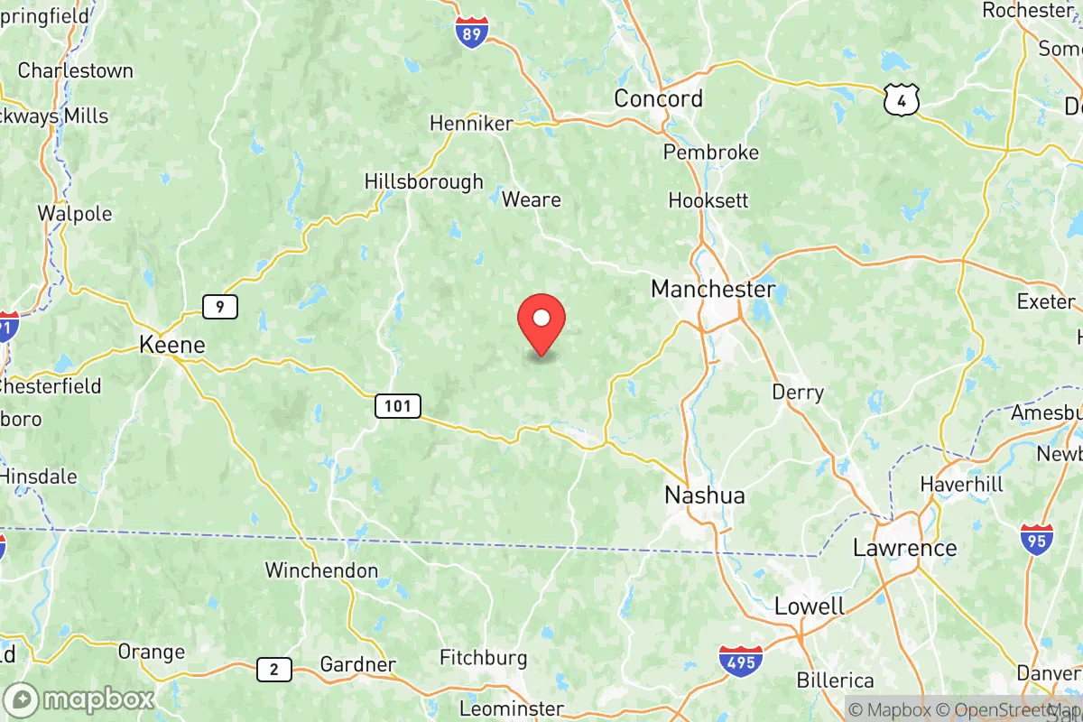
Strategic Assessment of Hillsborough County
Multiple tactical vulnerabilities. Population density, target proximity, or disaster risk are likely compounding. A retreat property and exit planning is required.
What does the Strategic Assessment tell us?
Our Strategic Assessment grades tactical survivability of an area. Major population centers, military targets, fallout zones, natural disasters, and border exposure all drive risk — lower exposure means a more defensible position in a crisis.
This is heavily inspired by Joel Skousen's Strategic Relocation book. Highly recommended you checkout the book ($)What does this tell us?
Our Strategic Assessment grades tactical survivability of an area. Major population centers, military targets, fallout zones, natural disasters, and border exposure all drive risk — lower exposure means a more defensible position in a crisis.
This is heavily inspired by Joel Skousen's Strategic Relocation book. Highly recommended you checkout the book ($)Strategic Pillars

Key Distances
Strategic Assessment Analysis
Hillsborough County, New Hampshire, offers a compelling mix of northern New England seclusion and practical infrastructure that makes it a serious contender for anyone thinking long-term about resilience and self-reliance. Its position roughly 50 miles north of Boston places it far enough from the urban core to avoid the worst of any metropolitan collapse, yet close enough to access critical resources before things go sideways. The county’s backbone is the Merrimack River corridor, with Manchester and Nashua as the primary population centers, but the real strategic value lies in the surrounding towns—Bedford, Merrimack, Milford, and Peterborough—where land is still affordable, water is plentiful, and the community fabric hasn’t been completely hollowed out by coastal sprawl.
How Hillsborough County’s geography and natural resources support long-term resilience
The county sits at the southern edge of New Hampshire’s hill country, a transition zone between the coastal plain and the White Mountains. That means you get reliable groundwater, forest cover for timber and game, and a climate that—while cold in winter—isn’t as punishing as northern Maine or the Adirondacks. The Merrimack River runs straight through the heart of the county, providing a surface water source that could sustain a community even if municipal systems fail. Lake Massabesic, just east of Manchester, is the primary reservoir for the city, but smaller ponds and streams dot the rural towns. For a relocator thinking about defensibility, the key is to avoid the floodplains and stick to higher ground in towns like Bedford or Goffstown, where elevation gives you a natural vantage point and less risk of contamination from downstream runoff. The county also has a decent amount of active farmland, especially around Milford and Wilton, which means local food production isn’t a fantasy—it’s already happening. If supply chains falter, those small-scale farms and roadside stands become the difference between eating and going hungry.
Fallout risks and exposure: proximity to Boston, Seabrook, and major infrastructure
No sugarcoating it: Hillsborough County sits within the shadow of several high-value targets and potential fallout sources. The most obvious is Seabrook Station, the nuclear power plant about 30 miles southeast of Manchester. In a worst-case event—whether accident or deliberate attack—the prevailing winds would carry a plume northeast toward the coast, but southern Hillsborough County, particularly Nashua and Merrimack, could see contamination depending on weather patterns. Boston itself, with Logan Airport, the Port of Boston, and dense financial infrastructure, is a prime target for any nation-state actor or domestic terror campaign. The I-93 corridor runs straight from Boston through Manchester and up to the Lakes Region, making it a natural chokepoint for evacuation or military movement. In a civil unrest scenario, Manchester and Nashua—with their concentrated populations and strained municipal budgets—could become flashpoints. The Manchester-Boston Regional Airport is a dual-use facility that could be commandeered for FEMA-style operations or, conversely, become a target for disruption. For a prepper, the takeaway is clear: avoid living within the immediate blast radius of these landmarks, but also understand that the county’s rural pockets—places like Peterborough or Greenfield—offer enough distance to buy you time to react.
Practical survival considerations: food, water, energy, and defensibility in Hillsborough County
Water is the first thing to lock down. The Merrimack River is a reliable source, but it’s also a vector for upstream contamination—industrial runoff from Manchester, agricultural chemicals from the valley, and potential biological threats if sanitation systems collapse. A well on your own property, preferably drilled deep into bedrock, is the gold standard. Towns like Bedford and Londonderry have decent groundwater yields, but you need to test for radon and arsenic, which are common in New Hampshire granite. For food, the growing season runs roughly May through September, which is short but productive. Cold frames and hoop houses can extend it. The county has a handful of active grist mills and grain operations—Hillsborough town itself has a historic mill that could be reactivated. Energy is trickier. The grid here is aging and prone to outages during winter storms. Solar with battery backup is viable, but tree cover in the hill towns can limit exposure. Wood heat is the backup of choice; most rural properties have at least a wood stove, and firewood is abundant if you have the land and the chainsaw. Defensibility comes down to terrain and community. The winding back roads of Wilton and Temple make it hard for outsiders to move quickly, and the local culture—old Yankee stock mixed with second-wave homesteaders—tends to keep to itself. That’s a double-edged sword: you won’t get a warm welcome if you show up unprepared, but once you’re in, the mutual aid networks are solid.
Overall, Hillsborough County presents a balanced strategic picture for the relocator who wants to be close enough to resources but far enough from the bullseye. The risks are real—Seabrook, Boston, the I-93 corridor, and the urban centers of Manchester and Nashua all demand respect and careful site selection. But the natural advantages—abundant water, workable farmland, defensible terrain, and a population that still values self-sufficiency—make it one of the better bets in New England for weathering the next decade. If you’re serious about resilience, skip the coastal towns and the tourist traps. Look at the hill towns of Hillsborough County, and make sure your property has a well, a wood stove, and a neighbor you can trust.
* Values derived from national, state, county, city and local statistics and may differ in a specific area. Last updated: 2026-05-15T01:37:07.000Z
Narrative content on this page is AI-generated and may contain mistakes. Verify any details that matter before acting on them.
ReloMaps may earn a commission from affiliate links at no extra cost to you.