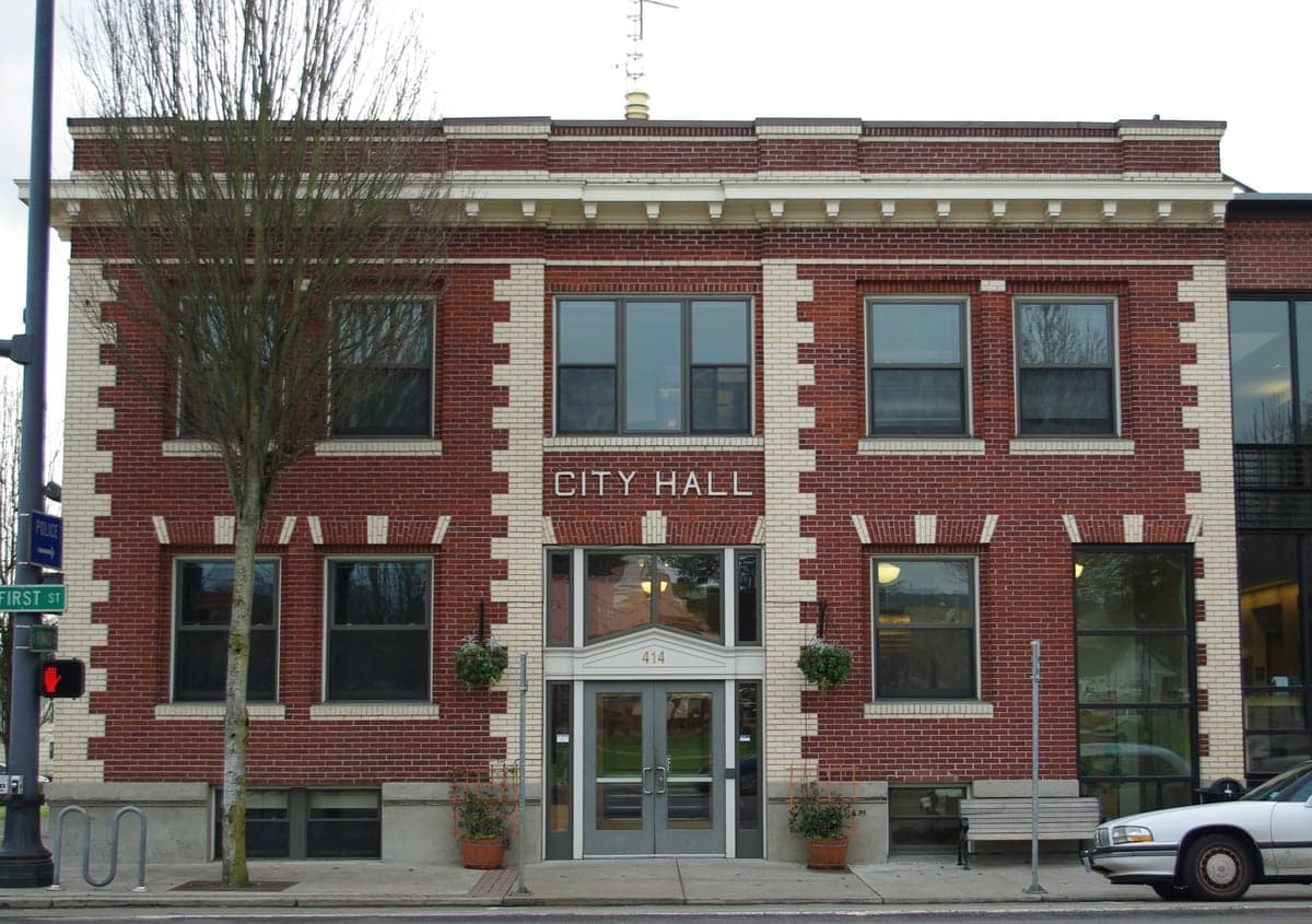
Photo: Wikipedia
Strategic Assessment of Newberg, OR
Multiple tactical vulnerabilities. Population density, target proximity, or disaster risk are likely compounding. A retreat property and exit planning is required.
What does the Strategic Assessment tell us?
Our Strategic Assessment grades tactical survivability of an area. Major population centers, military targets, fallout zones, natural disasters, and border exposure all drive risk — lower exposure means a more defensible position in a crisis.
This is heavily inspired by Joel Skousen's Strategic Relocation book. Highly recommended you checkout the book ($)What does this tell us?
Our Strategic Assessment grades tactical survivability of an area. Major population centers, military targets, fallout zones, natural disasters, and border exposure all drive risk — lower exposure means a more defensible position in a crisis.
This is heavily inspired by Joel Skousen's Strategic Relocation book. Highly recommended you checkout the book ($)Strategic Pillars

Key Distances
Regional Safe Places
Below is our recommended "safe zones" in Oregon and the surrounding area based on our strategic heuristics. For most people, it's unrealistic to live in a “safe zone” full-time due to work, family or other personal reasons. They tend to be more rural. However, many of these areas are perfect for second homes and retreat properties that double as a vacation home or even a short-term rental.


Important Note: For informational purposes only. This does not mean nothing bad ever happens in the green zones. Please use common sense. This is based on public data and modeled with AI. We tried to take a conservative approach but mistakes happen. We update this regularly as new information becomes available.
Solar Generator Recommendations
Backup power matters more here than in safer locations. We've picked three solar generators across budgets and capacity tiers — start with the budget unit if you only need a few essentials, or step up if you want to run a fridge and HVAC for days at a time.

Jackery Portable Power Station Explorer 300
Budget OptionPower on the Go: Weighing only 11 lbs, it's convenient to set up and store with book-sized foldable solar panels

BLUETTI Portable Power Station AC180
Designed for both indoor and outdoor scenarios, AC180 is highly capable as it has a robost capacity and continuous output power.

EF ECOFLOW DELTA Pro Ultra Power Station
Upgraded PickEcoFlow DELTA Pro Ultra is a whole-home energy system designed to grow with your family. Integrated with the Smart Home Panel 2, it scales to meet your evolving energy needs — keeping your home powered, intelligent, and secure through every stage of life.
We earn a commission, at no additional cost to you.
Strategic Assessment Analysis
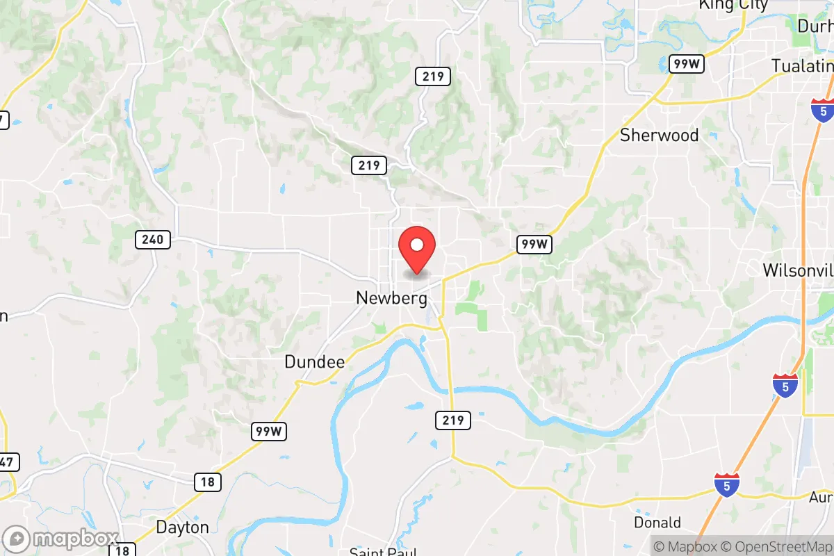
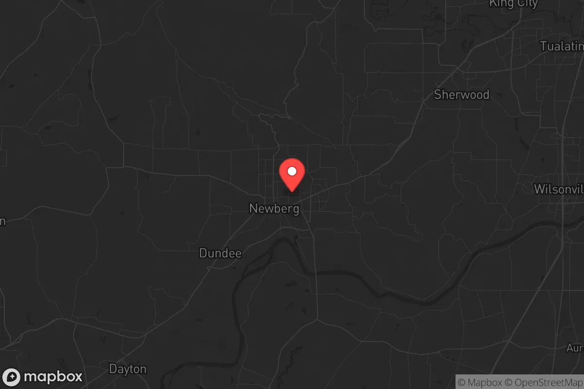
Newberg, Oregon, sits in a strategic sweet spot that resilience-minded relocators should study closely: close enough to the economic engine of the Portland metro to access supplies and medical care, but far enough to avoid the worst of urban unrest, gridlock, and fallout zones. The city’s position in the northern Willamette Valley, roughly 25 miles southwest of Portland and 15 miles from the state capital of Salem, places it on the edge of a major population corridor without being swallowed by it. For a conservative-leaning individual or family weighing long-term preparedness, Newberg offers a blend of agricultural self-sufficiency, defensible geography, and a community that still values local governance and firearm rights—rare assets in a state trending blue.
Geographic position and natural advantages for long-term security
Newberg’s location along the Chehalem Valley, framed by the Coast Range to the west and the Cascade foothills to the east, provides natural chokepoints and escape routes that matter when the grid falters. The Chehalem Mountains and surrounding ridges create a bowl-like terrain that limits line-of-sight from major highways, making the area harder to surveil or saturate during a crisis. The Willamette River runs just east of town, offering a reliable water source for filtration or small-scale irrigation, though it’s not a primary drinking supply for most residents. The city sits at the junction of Highway 99W and Oregon 240, two secondary roads that avoid the Interstate 5 corridor—a likely target for congestion, checkpoints, or disruption during civil unrest. Newberg’s 30-minute drive to Portland International Airport is a liability for fallout scenarios, but its position on the western side of the valley means prevailing winds from the Pacific typically push airborne contaminants east, away from the city. For a prepper, that wind pattern is a subtle but significant advantage: if a dirty bomb or industrial accident hits Portland, Newberg is less likely to catch the plume than suburbs like Gresham or Troutdale.
Risks, exposures, and proximity to fallout-relevant landmarks
No strategic assessment is honest without naming the threats. Newberg’s biggest exposure is its proximity to Portland—a city that has seen sustained civil unrest, property destruction, and a hollowed-out police force since 2020. During a mass casualty event or widespread civic breakdown, Newberg could become a staging ground for refugees fleeing the metro, straining local resources and testing the community’s willingness to hold the line. The city itself has a population of roughly 24,000, which is small enough to manage but large enough to attract attention. The nearby Chehalem Valley is also home to dozens of wineries and agritourism operations—beautiful, but they draw outsiders during normal times and could become targets for looting if order collapses. On the industrial side, Newberg is within 20 miles of the Portland Harbor Superfund site and the Port of Portland’s chemical storage facilities. A major earthquake on the Cascadia subduction zone—which geologists say is overdue—could rupture fuel tanks and release toxic clouds that drift into the valley. The city sits in Seismic Zone 3, meaning moderate shaking is expected, but liquefaction risk is low because the underlying soils are primarily basalt and sedimentary rock, not the loose fill found closer to the river. Still, the Willamette River floodplain is a concern: parts of eastern Newberg near the river are in a 100-year flood zone, and a Cascadia event could trigger a tsunami-like surge up the river from the Pacific, though the wave would likely dissipate before reaching town.
Practical resilience for a relocator: food, water, energy, and defensibility
For a relocator serious about self-sufficiency, Newberg’s agricultural base is a primary draw. The surrounding Yamhill County is one of Oregon’s top food-producing regions, with hazelnut orchards, berry farms, grass-fed beef operations, and dozens of small-scale vegetable growers. Within a 10-mile radius, there are at least 15 farms that sell directly to consumers through CSAs or farm stands, meaning a prepared family could establish supply relationships before a crisis hits. Water is less straightforward: Newberg draws its municipal supply from the Willamette River via a treatment plant, which is vulnerable to power loss or contamination. Private wells are common in the rural fringe, but within city limits, most homes rely on the grid. A prepper moving here should budget for a deep well on any property outside the urban growth boundary, plus a Berkey or similar gravity filter for surface water. Energy resilience is middling. The local utility, Portland General Electric, has a mixed record on outage restoration—during the 2021 ice storm, some rural areas near Newberg were without power for over a week. Solar potential is decent but not exceptional: the valley averages 150–160 sunny days per year, which is enough for a modest off-grid system with battery storage, but not for full independence without backup propane or diesel generation. Defensibility is where Newberg shines relative to flatter, more exposed towns. The Chehalem Mountains provide natural high ground and observation points, and the network of county roads and forest service routes offers multiple egress paths if Highway 99W becomes blocked. The local sheriff’s office is known for a pro-Second Amendment stance, and Yamhill County has a strong culture of private firearm ownership and neighborhood watch groups. That cultural alignment matters: in a breakdown scenario, a community that shares your values is more likely to cooperate than one that views preparedness as paranoid.
The overall strategic picture for Newberg is one of calculated trade-offs. It is not a remote bunker location—it’s a working town on the edge of a volatile metro, with real exposure to fallout from Portland’s instability and Cascadia’s seismic threat. But for a relocator who wants to stay connected to supply chains, medical infrastructure, and a like-minded community while maintaining a defensible home base, Newberg offers a rare balance. The key is to treat it as a hub, not a fortress: build relationships with local farmers, invest in well water and solar, and have a bug-out plan for the Coast Range if Portland’s unrest spills over. If you’re willing to put in the work on self-reliance and community networking, Newberg can serve as a resilient anchor in a state that’s otherwise tilting away from the values that make preparedness possible. Just don’t expect it to stay quiet if the big one hits—no place in the Willamette Valley will.
* Values derived from national, state, county, city and local statistics and may differ in a specific area. Last updated: 2026-05-04T23:07:19.000Z
Narrative content on this page is AI-generated and may contain mistakes. Verify any details that matter before acting on them.
ReloMaps may earn a commission from affiliate links at no extra cost to you.