
Photo: Wikipedia
Strategic Assessment of Lawrence County
Strong survivability profile. Good buffer from population centers, with manageable environmental and tactical risks.
What does the Strategic Assessment tell us?
Our Strategic Assessment grades tactical survivability of an area. Major population centers, military targets, fallout zones, natural disasters, and border exposure all drive risk — lower exposure means a more defensible position in a crisis.
This is heavily inspired by Joel Skousen's Strategic Relocation book. Highly recommended you checkout the book ($)What does this tell us?
Our Strategic Assessment grades tactical survivability of an area. Major population centers, military targets, fallout zones, natural disasters, and border exposure all drive risk — lower exposure means a more defensible position in a crisis.
This is heavily inspired by Joel Skousen's Strategic Relocation book. Highly recommended you checkout the book ($)Strategic Pillars

Key Distances
Strategic Assessment Analysis
Lawrence County, South Dakota, offers a compelling strategic position for those prioritizing resilience and distance from major population centers, combining the rugged geography of the Black Hills with a low-density, resource-rich environment. This area sits far from the coastal corridors and major industrial targets that preppers and survivalists typically seek to avoid, while still maintaining access to essential infrastructure and supply routes. For single individuals and families looking to weather civic unrest, natural disasters, or broader societal disruptions, Lawrence County presents a balanced mix of natural defenses, local resources, and community self-reliance that is increasingly rare in the lower 48.
Geographic position and natural advantages for long-term security
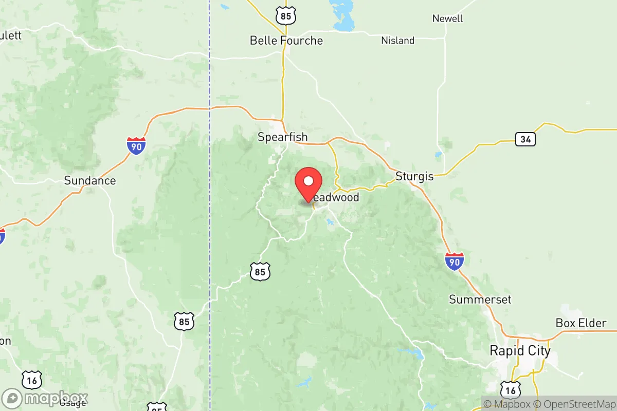
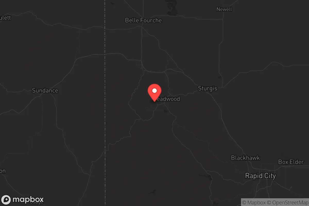
Lawrence County’s location in the western part of South Dakota, anchored by the towns of Spearfish, Deadwood, and Lead, places it in a unique sweet spot. The area is shielded by the Black Hills, which provide natural terrain barriers and a cooler, wetter microclimate compared to the surrounding plains. This elevation and forest cover offer concealment and defensible positions, while the proximity to Sturgis (just east) and Rapid City (about 45 minutes south) ensures access to regional medical facilities and supply chains without being directly exposed to the risks of a larger city. The county’s position along Interstate 90 is a double-edged sword—it provides a reliable evacuation or resupply route, but it also means the area is not completely isolated. However, the local road network, including U.S. Highway 85 and numerous forest service roads, allows for alternative movement if the main arteries become compromised. The natural beauty and low population density (roughly 26,000 residents across 800 square miles) mean that a relocator can find a property with significant buffer from neighbors, which is a key advantage for operational security and self-sufficiency.
Risks, exposures, and proximity to fallout-relevant landmarks
From a prepper’s perspective, Lawrence County’s primary risk profile is low compared to most of the country. The area is not near any major military bases like Fort Hood or Ellsworth Air Force Base (though Ellsworth is about 60 miles east near Rapid City, which is a moderate concern for a secondary target). There are no major refineries, ports, or nuclear power plants within a 100-mile radius, which drastically reduces the risk of fallout from industrial accidents or targeted strikes. The nearest significant fallout-relevant landmark is the Black Hills National Forest itself, which could be a target for resource wars or wildfires, but not for a direct nuclear or chemical attack. The county does have a history of gold mining, particularly around Lead and Deadwood, meaning there are old mine shafts and tailings that could pose environmental hazards if not managed, but these are localized and well-documented. The bigger risk here is natural: wildfires are a genuine threat, especially in dry summers, and the area can see heavy winter snow that can isolate rural properties for days. For a relocator, the lack of proximity to high-value targets is a major plus, but you must plan for self-sufficiency during winter storms and fire seasons. The nearest major city, Rapid City, is far enough to avoid the worst of any civil unrest that might erupt there, but close enough to be a source of supplies or a place to avoid if things go sideways.
Practical resilience for a relocator: food, water, energy, and defensibility
Lawrence County excels in the practical elements of long-term resilience. Water is abundant—the area sits atop the Madison Aquifer, and numerous creeks and streams run through the Black Hills, including Spearfish Creek and Rapid Creek. Most rural properties have access to well water, and the county’s average annual precipitation of around 20 inches supports gardening and small-scale agriculture, though the growing season is short (about 120 days). Energy is a mixed picture: the grid is reliable but rural, so solar panels with battery backup are a smart investment. Wood heating is common and practical given the forested terrain, and propane delivery is available in most areas. Food production is feasible with greenhouses and cold frames, and the local hunting (deer, elk, turkey) and fishing (trout in the streams) provide a protein buffer. The county has a strong ranching tradition, so livestock like goats or chickens are common and accepted. Defensibility is excellent for a rural area—the terrain offers natural chokepoints, and properties in the hills have good line-of-sight for monitoring approaches. The local culture is heavily oriented toward self-reliance, with a high rate of gun ownership and a general distrust of federal overreach, which aligns well with a conservative, prepper mindset. The towns of Spearfish and Deadwood have local hardware stores, feed stores, and medical clinics, but for serious supplies, a trip to Rapid City is necessary. The key weakness is that the area is not a major agricultural hub—you won’t find vast grain fields or large-scale produce farms—so long-term food security requires personal investment in growing and preserving.
The overall strategic picture for Lawrence County is that of a solid, low-profile relocation option that balances isolation with accessibility. It avoids the high-risk zones of the coasts, the major military targets of the plains, and the industrial corridors of the Midwest, while still offering a community that values independence and preparedness. For a single individual or a family, the trade-offs are clear: you trade away the convenience of urban amenities and the safety of flat, open terrain for a defensible, resource-rich environment that can sustain you through most disruptions. The proximity to Rapid City and the Black Hills National Forest provides a buffer zone and a source of wild resources, but you must be ready for winter isolation and wildfire risks. If your goal is to be far from the chaos of the cities and the fallout of a collapsing system, Lawrence County is a strong candidate—just make sure you bring a good chainsaw, a reliable four-wheel-drive, and a plan for the snow.
* Values derived from national, state, county, city and local statistics and may differ in a specific area. Last updated: 2026-05-16T10:35:59.000Z
Narrative content on this page is AI-generated and may contain mistakes. Verify any details that matter before acting on them.
ReloMaps may earn a commission from affiliate links at no extra cost to you.