
Photo: Wikipedia
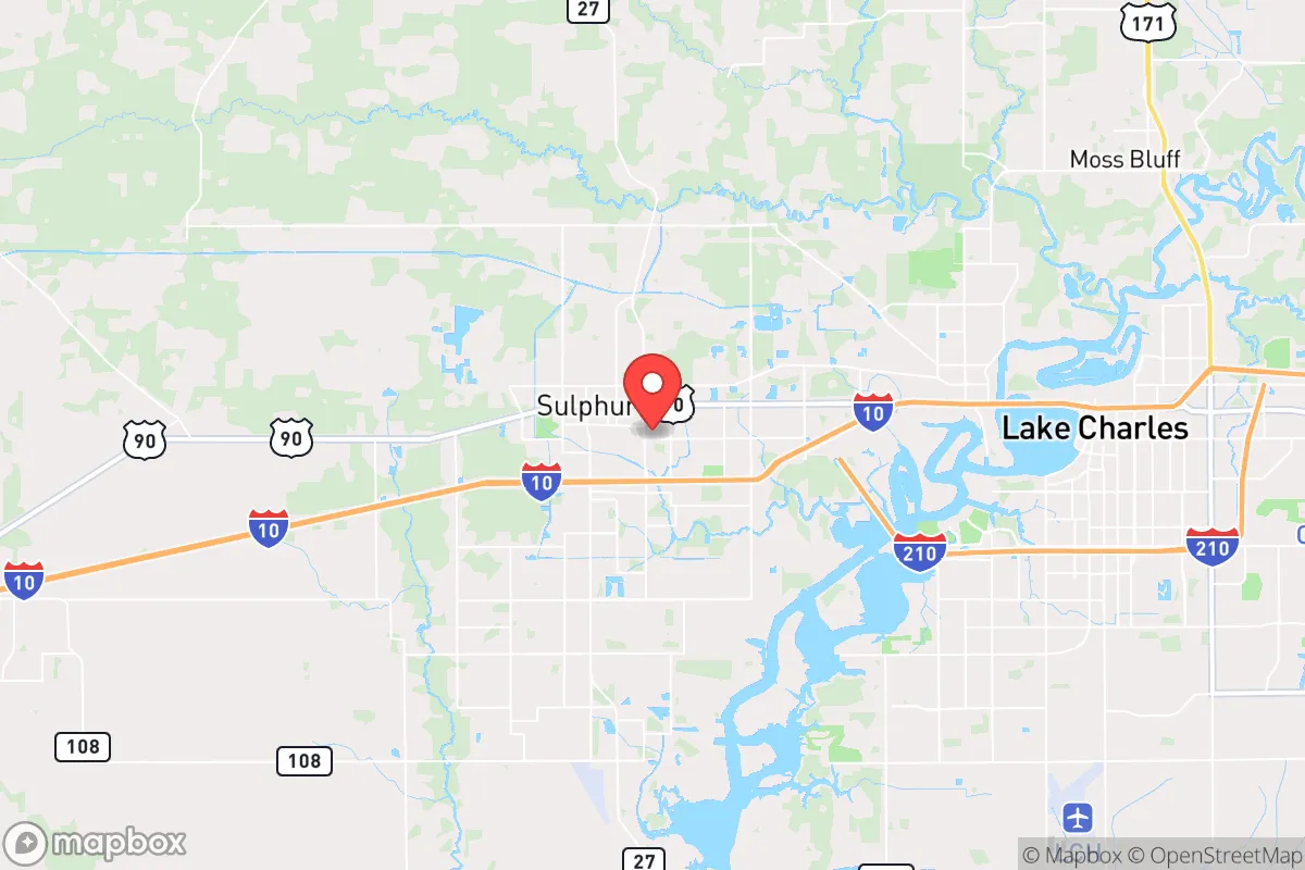
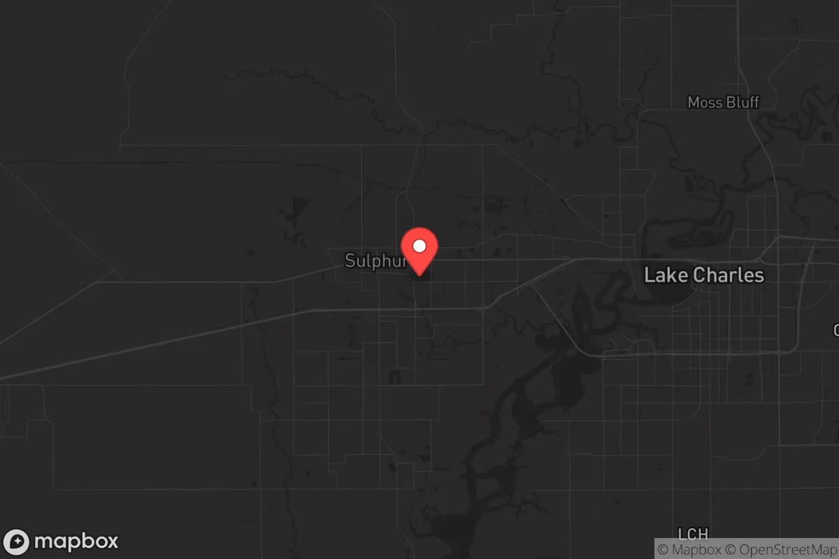
Strategic Assessment of Sulphur, LA
Meaningful friction. Expect exposure to either population pressure, blast zones, or natural disaster risk. Consider buying a retreat property.
What does the Strategic Assessment tell us?
Our Strategic Assessment grades tactical survivability of an area. Major population centers, military targets, fallout zones, natural disasters, and border exposure all drive risk — lower exposure means a more defensible position in a crisis.
This is heavily inspired by Joel Skousen's Strategic Relocation book. Highly recommended you checkout the book ($)What does this tell us?
Our Strategic Assessment grades tactical survivability of an area. Major population centers, military targets, fallout zones, natural disasters, and border exposure all drive risk — lower exposure means a more defensible position in a crisis.
This is heavily inspired by Joel Skousen's Strategic Relocation book. Highly recommended you checkout the book ($)Strategic Pillars

Key Distances
Regional Safe Places
Below is our recommended "safe zones" in Louisiana and the surrounding area based on our strategic heuristics. For most people, it's unrealistic to live in a “safe zone” full-time due to work, family or other personal reasons. They tend to be more rural. However, many of these areas are perfect for second homes and retreat properties that double as a vacation home or even a short-term rental.

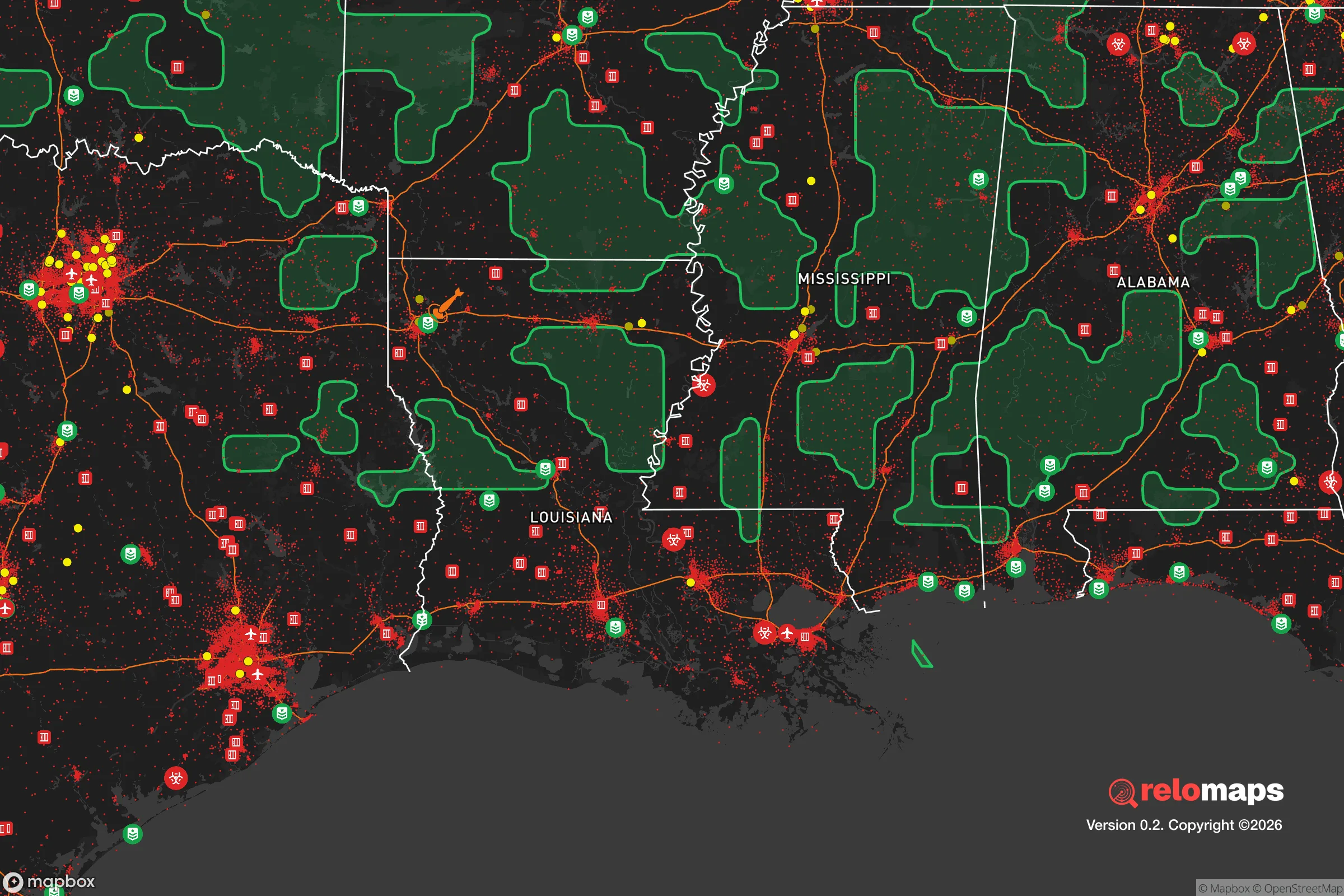
Important Note: For informational purposes only. This does not mean nothing bad ever happens in the green zones. Please use common sense. This is based on public data and modeled with AI. We tried to take a conservative approach but mistakes happen. We update this regularly as new information becomes available.
Solar Generator Recommendations
Backup power matters more here than in safer locations. We've picked three solar generators across budgets and capacity tiers — start with the budget unit if you only need a few essentials, or step up if you want to run a fridge and HVAC for days at a time.

Jackery Portable Power Station Explorer 300
Budget OptionPower on the Go: Weighing only 11 lbs, it's convenient to set up and store with book-sized foldable solar panels

BLUETTI Portable Power Station AC180
Designed for both indoor and outdoor scenarios, AC180 is highly capable as it has a robost capacity and continuous output power.

EF ECOFLOW DELTA Pro Ultra Power Station
Upgraded PickEcoFlow DELTA Pro Ultra is a whole-home energy system designed to grow with your family. Integrated with the Smart Home Panel 2, it scales to meet your evolving energy needs — keeping your home powered, intelligent, and secure through every stage of life.
We earn a commission, at no additional cost to you.
Strategic Assessment Analysis
Sulphur, Louisiana, sits in a geographic pocket that offers a compelling mix of strategic advantages and notable vulnerabilities for those prioritizing long-term resilience. Located in Calcasieu Parish, roughly 10 miles west of Lake Charles and 130 miles east of Houston, this city of about 20,000 residents provides a buffer from the immediate fallout zones of major metropolitan areas while still maintaining access to critical infrastructure. The area’s position along the I-10 corridor, its proximity to the Gulf of Mexico, and its location within the sprawling petrochemical network of Southwest Louisiana create a unique strategic calculus—one where natural resource abundance and industrial dependency exist in direct tension. For a relocator thinking in terms of decades, not years, Sulphur demands a clear-eyed assessment of both its defensive strengths and its exposure to cascading risks.
Geographic position and natural advantages for long-term survival
Sulphur’s primary strategic asset is its location within the Chenier Plain, a region of coastal marshes, chenier ridges, and floodplains that historically provided natural barriers to large-scale movement. The city sits on relatively high ground compared to surrounding areas—elevations of 15 to 20 feet above sea level—which offers modest protection against storm surge but is still vulnerable to hurricane flooding. The Calcasieu River, running just west of the city, provides a reliable freshwater source and a navigable waterway for transport and trade, though it also serves as a potential vector for contamination from upstream industrial sites. The surrounding landscape is dominated by pine flatwoods, bottomland hardwood forests, and extensive wetlands, which offer ample timber for construction, fuel, and defensive barriers. The region’s subtropical climate supports year-round growing seasons, with average rainfall of 55-60 inches annually, making subsistence agriculture feasible for those with the knowledge and tools. However, the same humidity and heat that enable crop growth also accelerate decay, mold, and insect-borne disease—factors that demand disciplined preparation. For a prepper, the natural advantages here are real but conditional: the land can sustain life, but only with active management and a willingness to adapt to a wet, hot, and biologically active environment.
Risks, exposures, and proximity to fallout-relevant landmarks
The most significant strategic liability for Sulphur is its location within the Lake Charles metropolitan statistical area, which includes the sprawling petrochemical complex along the Calcasieu Ship Channel. This industrial corridor—home to refineries, chemical plants, and LNG terminals operated by companies like Citgo, Phillips 66, and Sasol—represents a dual-edged sword. On one hand, it provides economic stability and energy independence; on the other, it creates a high-value target for both natural disasters and deliberate disruption. A major hurricane making landfall near the Calcasieu Ship Channel could trigger a catastrophic release of toxic chemicals, while a coordinated attack on the industrial infrastructure could render large swaths of the region uninhabitable for weeks or months. Additionally, Sulphur lies within 50 miles of the Chennault International Airport, a former Air Force base now used for industrial and cargo operations, and within 100 miles of the Sabine River nuclear plant in Texas—both potential points of interest in a broader national security scenario. The I-10 corridor, while a vital evacuation route, also funnels traffic and potential threats directly through the area. For a relocator prioritizing isolation from high-risk zones, Sulphur’s proximity to these landmarks is a clear negative. The city is close enough to be affected by regional disruptions but not far enough to be safely removed from them.
Practical resilience for a relocator: food, water, energy, and defensibility
On the practical side, Sulphur offers several advantages for those willing to invest in self-sufficiency. The region’s abundant rainfall and high water table make well drilling a viable option for off-grid water supply, though the water quality in the area is often high in sulfur and iron, requiring filtration or treatment. The local soil, while acidic and sandy in many areas, can be amended for vegetable gardens, and the long growing season allows for multiple harvests per year. For energy, the area’s proximity to natural gas infrastructure means that propane and natural gas are relatively cheap and accessible, while solar potential is moderate—averaging 4.5 peak sun hours per day—making solar panels a reasonable but not exceptional investment. Defensibility is a mixed picture: Sulphur’s layout as a typical suburban grid with scattered rural tracts offers limited natural chokepoints, but the surrounding wetlands and bayous create natural barriers to vehicular approach. The local population is predominantly conservative-leaning, with a strong hunting and fishing culture, which translates into a higher baseline of firearms ownership and outdoor skills compared to urban centers. However, the area’s economic dependence on the oil and gas industry means that a prolonged economic downturn or energy crisis could trigger rapid population shifts and resource competition. For a single individual or family, the key is to secure a property with a reliable water source, defensible perimeter, and sufficient acreage for food production—ideally on the higher ground east of the Calcasieu River, away from the industrial corridor.
The overall strategic picture for Sulphur is one of calculated trade-offs. It offers genuine advantages in terms of natural resources, climate, and a like-minded community, but these are offset by significant exposure to industrial hazards, hurricane risks, and proximity to critical infrastructure that could become a liability in a national crisis. For a relocator who values preparedness and is willing to invest in hardening a property—elevating structures, securing water and energy independence, and building community ties—Sulphur can serve as a viable base of operations. But it is not a remote retreat; it is a working-class city embedded in a fragile industrial ecosystem. Those who move here should do so with eyes wide open, understanding that resilience here depends less on isolation and more on active, ongoing preparation. The region rewards competence and punishes complacency—which, in the current state of the country, may be exactly the kind of environment worth betting on.
* Values derived from national, state, county, city and local statistics and may differ in a specific area. Last updated: 2026-05-01T17:23:15.000Z
Narrative content on this page is AI-generated and may contain mistakes. Verify any details that matter before acting on them.
ReloMaps may earn a commission from affiliate links at no extra cost to you.