Photo: Wikipedia
Strategic Assessment of Thackerville, OK
Workable tactical position. Some exposure to population density or targets, but generally defensible in a crisis.
What does the Strategic Assessment tell us?
Our Strategic Assessment grades tactical survivability of an area. Major population centers, military targets, fallout zones, natural disasters, and border exposure all drive risk — lower exposure means a more defensible position in a crisis.
This is heavily inspired by Joel Skousen's Strategic Relocation book. Highly recommended you checkout the book ($)What does this tell us?
Our Strategic Assessment grades tactical survivability of an area. Major population centers, military targets, fallout zones, natural disasters, and border exposure all drive risk — lower exposure means a more defensible position in a crisis.
This is heavily inspired by Joel Skousen's Strategic Relocation book. Highly recommended you checkout the book ($)Strategic Pillars

Key Distances
Regional Safe Places
Below is our recommended "safe zones" in Oklahoma and the surrounding area based on our strategic heuristics. For most people, it's unrealistic to live in a “safe zone” full-time due to work, family or other personal reasons. They tend to be more rural. However, many of these areas are perfect for second homes and retreat properties that double as a vacation home or even a short-term rental.
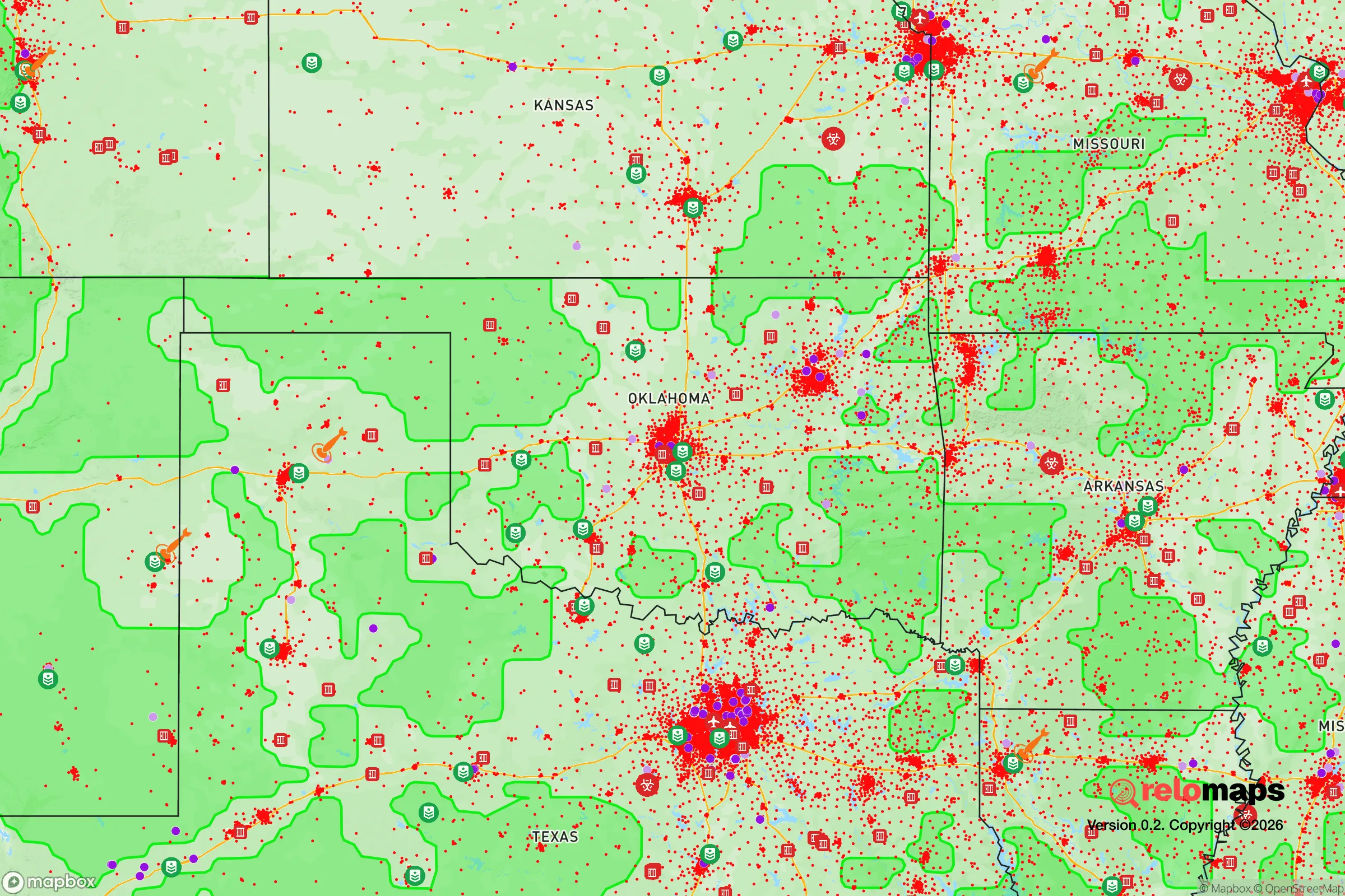
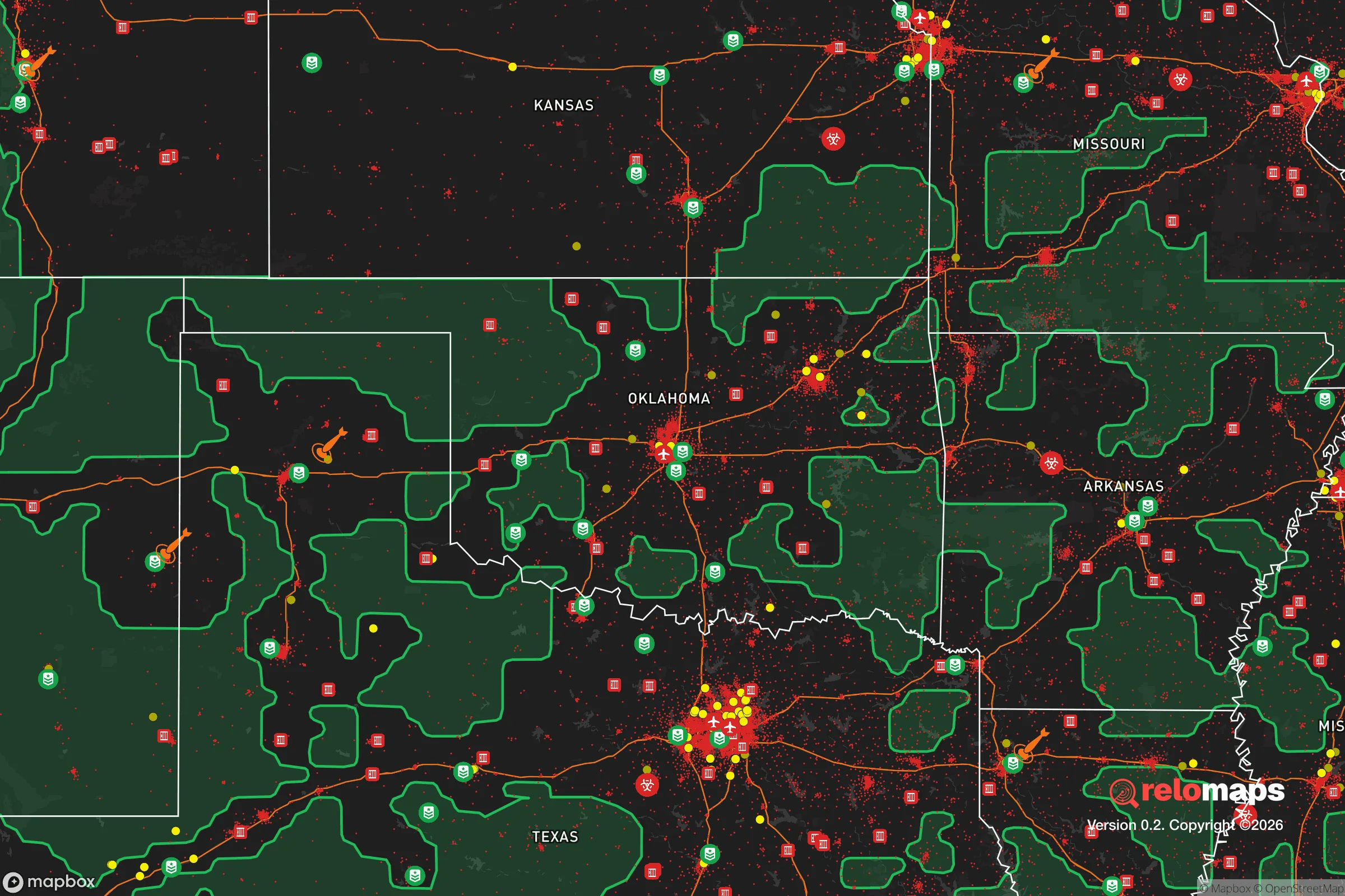
Important Note: For informational purposes only. This does not mean nothing bad ever happens in the green zones. Please use common sense. This is based on public data and modeled with AI. We tried to take a conservative approach but mistakes happen. We update this regularly as new information becomes available.
Solar Generator Recommendations
Backup power matters more here than in safer locations. We've picked three solar generators across budgets and capacity tiers — start with the budget unit if you only need a few essentials, or step up if you want to run a fridge and HVAC for days at a time.

Jackery Portable Power Station Explorer 300
Budget OptionPower on the Go: Weighing only 11 lbs, it's convenient to set up and store with book-sized foldable solar panels

BLUETTI Portable Power Station AC180
Designed for both indoor and outdoor scenarios, AC180 is highly capable as it has a robost capacity and continuous output power.

EF ECOFLOW DELTA Pro Ultra Power Station
Upgraded PickEcoFlow DELTA Pro Ultra is a whole-home energy system designed to grow with your family. Integrated with the Smart Home Panel 2, it scales to meet your evolving energy needs — keeping your home powered, intelligent, and secure through every stage of life.
We earn a commission, at no additional cost to you.
Strategic Assessment Analysis
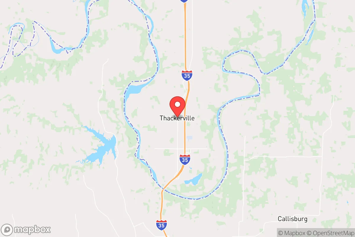
Thackerville, Oklahoma, sits in a peculiar strategic pocket that most preppers overlook, and that’s precisely its strength. Located in Love County, just north of the Texas border and roughly 90 miles north of Dallas-Fort Worth, this tiny town of about 500 people offers a rare combination: proximity to major logistical corridors (I-35 runs right through it) without being close enough to any major city to suffer its collapse. The area’s resilience is rooted in its low population density, agricultural self-sufficiency, and the fact that it’s far enough from the Red River to avoid the worst of floodplain risks, yet close enough to the Arbuckle Mountains for defensible terrain. For a relocator thinking in terms of decades, not just next year, Thackerville represents a quiet hedge against the unraveling of urban systems.
Geographic position and natural advantages for long-term security
Thackerville’s geography is its first and most underappreciated asset. The town sits on the eastern edge of the Cross Timbers ecoregion, a transition zone between the prairies and the eastern woodlands. That means you get decent rainfall (about 38 inches annually) without the humidity and tornado risk of central Oklahoma. The Arbuckle Mountains, about 30 miles north, provide natural elevation and rock formations that offer both defensible positions and reliable groundwater. The area is underlain by the Arbuckle-Simpson aquifer, one of Oklahoma’s most productive freshwater sources, which means well water is generally abundant and of good quality. For a prepper, that’s a non-negotiable advantage: you’re not dependent on municipal water systems that could fail in a grid-down scenario. The terrain is rolling hills with mixed hardwood and pine forests, offering both cover and timber for construction or fuel. Wildlife is plentiful—deer, turkey, and small game—so subsistence hunting is viable. The climate is temperate enough that you can grow a garden from March through October without extreme heat or cold, and the growing season averages 220 days. That’s a solid foundation for food security.
Risks, exposures, and proximity to fallout-relevant landmarks
No place is perfect, and Thackerville has real vulnerabilities that a serious relocator must weigh. The most obvious is I-35, which runs directly through town. In a mass evacuation event from Dallas-Fort Worth (population 7.5 million), that highway becomes a chokepoint and a target. Refugees, looters, and military convoys could all flow north, and Thackerville is the first Oklahoma town they’d hit. The town’s small size means it has no real law enforcement presence—Love County has fewer than 10 deputies on duty at any given time. If a wave of desperate people comes through, you’re on your own. Additionally, the nearby Red River is a natural border that could become a contested zone in a national crisis, especially if Texas and Oklahoma have different governance or resource priorities. There are no major military installations within 50 miles, but the proximity to DFW means that any nuclear or EMP event targeting a major city would put Thackerville in the fallout plume if winds are from the south. The prevailing winds are from the south-southwest, so a strike on Dallas would likely push fallout northeast, away from Thackerville—but that’s a statistical comfort, not a guarantee. The town itself has no industrial or chemical hazards, which is a plus, but the lack of a hospital (nearest is in Ardmore, 20 miles north) means medical resilience is a serious gap.
Practical resilience for a relocator: food, water, energy, and defensibility
For someone serious about self-reliance, Thackerville offers a workable baseline. Water is the easiest win: the Arbuckle-Simpson aquifer is shallow enough that a standard residential well (200-400 feet) can produce 20-40 gallons per minute. That’s enough for a family, livestock, and irrigation. Rainwater catchment is also viable, with average annual rainfall of 38 inches. For food, the soil is sandy loam in the river bottoms and clay-loam on the hills—amendable with compost, and suitable for corn, beans, squash, and root vegetables. Local agriculture is dominated by cattle ranching and hay production, so you can barter for meat or dairy with neighbors. The town has a small grocery store (Thackerville Food Mart) but it’s not a long-term supply line; you’ll need to grow or stockpile. Energy is a mixed bag. The grid is rural and prone to outages during ice storms and thunderstorms, but that also means you’re less likely to be a priority target for grid sabotage. Solar is viable—the area gets about 5.5 peak sun hours per day—and wind is moderate. A small wind turbine or solar array with battery storage can cover a household’s basic needs. Defensibility is decent but not fortress-level. The terrain is rolling, not mountainous, so you can’t rely on natural barriers alone. However, the low population density means you can choose a property with good sightlines, a long driveway, and natural cover. The nearest town of any size is Marietta (population 2,500), 10 miles north, which has a police department but no real capacity to project force into the countryside. In a collapse scenario, Thackerville’s isolation becomes its shield: there’s simply nothing here worth a large group’s time to take.
The overall strategic picture for Thackerville is one of calculated trade-offs. It’s not a bug-out paradise with mountain redoubts and year-round springs, but it’s a realistic, affordable option for someone who wants to be out of the urban blast radius without moving to the middle of nowhere with no infrastructure. The land is cheap—you can buy 10-20 acres with a house for under $200,000—and the tax burden is low (Oklahoma has no state property tax, and Love County’s millage rate is about 85 mills). The community is small, rural, and politically conservative, which means you’ll find like-minded neighbors who value self-reliance and don’t want government interference. The downsides are real: the I-35 corridor is a vulnerability, medical access is poor, and you’ll need to invest in your own water, power, and security systems. But for a relocator who’s willing to put in the work, Thackerville offers a quiet, defensible, and sustainable base from which to ride out whatever comes next. It’s not a glamorous choice—it’s a strategic one.
* Values derived from national, state, county, city and local statistics and may differ in a specific area. Last updated: 2026-04-19T21:17:12.000Z
Narrative content on this page is AI-generated and may contain mistakes. Verify any details that matter before acting on them.
ReloMaps may earn a commission from affiliate links at no extra cost to you.