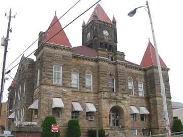
Photo: Wikipedia
Strategic Assessment of Wetzel County
Workable tactical position. Some exposure to population density or targets, but generally defensible in a crisis.
What does the Strategic Assessment tell us?
Our Strategic Assessment grades tactical survivability of an area. Major population centers, military targets, fallout zones, natural disasters, and border exposure all drive risk — lower exposure means a more defensible position in a crisis.
This is heavily inspired by Joel Skousen's Strategic Relocation book. Highly recommended you checkout the book ($)What does this tell us?
Our Strategic Assessment grades tactical survivability of an area. Major population centers, military targets, fallout zones, natural disasters, and border exposure all drive risk — lower exposure means a more defensible position in a crisis.
This is heavily inspired by Joel Skousen's Strategic Relocation book. Highly recommended you checkout the book ($)Strategic Pillars

Key Distances
Strategic Assessment Analysis
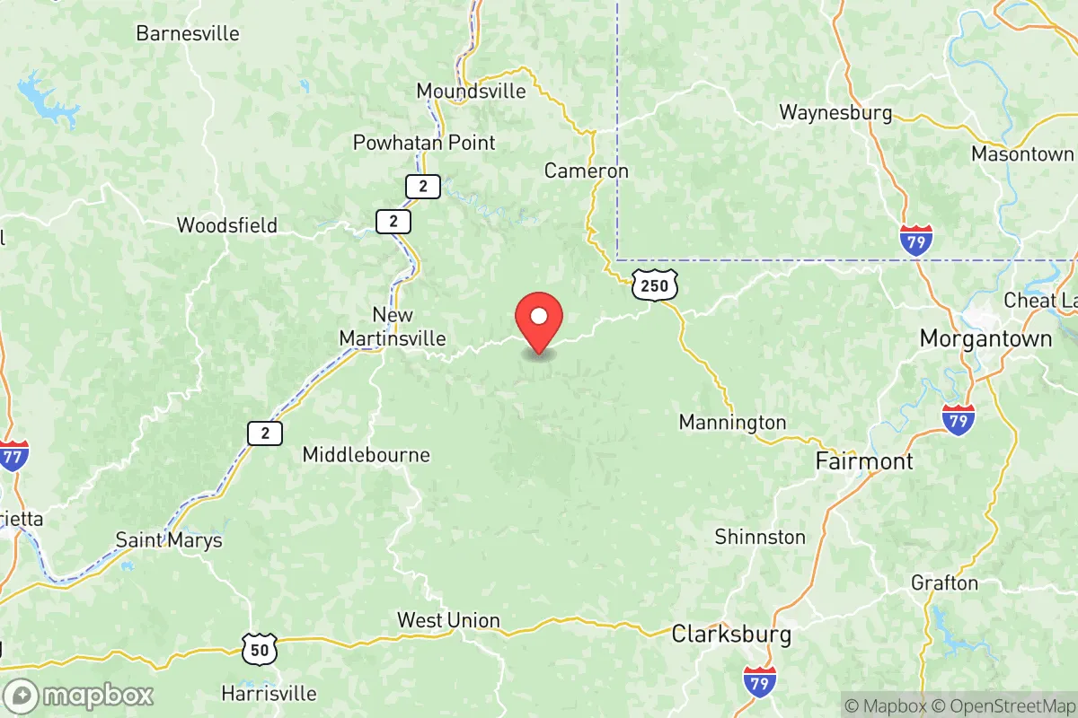
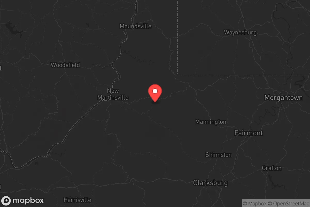
Wetzel County, West Virginia, offers a strategic relocation option for those prioritizing resilience and distance from the major vulnerabilities of the Eastern Seaboard. Nestled in the northern panhandle along the Ohio River, this area provides a blend of rural isolation and access to critical infrastructure that appeals to a conservative, preparedness-minded audience. The county’s low population density—roughly 15,000 residents spread over 361 square miles—means fewer targets and less competition for resources in a crisis, while its position away from major metropolitan blast zones offers a genuine buffer against the fallout of civic unrest or large-scale disasters.
Geographic position and natural advantages for long-term security
Wetzel County’s location is its primary asset. It sits roughly 90 miles southwest of Pittsburgh and 120 miles northeast of Columbus, placing it outside the immediate danger zones of those major cities while still within a day’s drive of supply routes. The Ohio River forms its western border, providing a reliable water source and a natural barrier that complicates approach from that direction. The county is part of the Appalachian foothills, with steep ridges and narrow valleys that create defensible terrain—think of the area around New Martinsville, the county seat, where the river valley is flanked by high ground. This topography limits large-scale movement and offers numerous vantage points for observation. The surrounding Wayne National Forest in Ohio and the Monongahela National Forest to the east add a buffer of public land that reduces development pressure and provides emergency foraging or timber resources. For a relocator, this means a location that is hard to isolate but easy to defend, with multiple egress routes via State Routes 2 and 7 and US Route 250.
Risks, exposures, and proximity to fallout-relevant landmarks
No location is without risk, and Wetzel County has specific exposures that a strategic relocator must weigh. The most significant is the Ohio River Valley’s industrial corridor. Upstream, the Pittsburgh metropolitan area and its cluster of chemical plants, refineries, and nuclear facilities (like the Beaver Valley Nuclear Power Station, about 60 miles north) represent potential fallout targets or accident sources. Downstream, the Marietta and Parkersburg areas have their own industrial bases. A major event at any of these could contaminate the Ohio River, which is the county’s primary water source. Additionally, the county itself has a history of oil and gas extraction, including active wells and pipelines—the MarkWest Liberty Midstream & Resources facility near New Martinsville processes natural gas liquids. A rupture or intentional attack on this infrastructure could create localized hazards. The Willow Island Locks and Dam on the Ohio River, just south of the county line, is a critical piece of navigation infrastructure that could be a target for sabotage, potentially disrupting river transport and causing flooding. On the positive side, there are no major military bases, nuclear power plants, or large population centers within the county itself, which reduces the likelihood of being a primary target. The nearest major military installation is Wright-Patterson Air Force Base near Dayton, Ohio, about 160 miles west—far enough to avoid direct blast effects but close enough to feel the ripple effects of a base-related crisis.
Practical resilience for a relocator: food, water, energy, and defensibility
For a single individual or family looking to establish a resilient homestead, Wetzel County offers a workable baseline. Water is the most critical resource, and the Ohio River provides an abundant surface source, but it requires filtration and treatment due to industrial runoff and potential contamination. Many properties in the county have private wells tapping into the Appalachian aquifer, which is generally reliable but should be tested for methane and other hydrocarbons from nearby drilling. Food production is feasible: the county has fertile river bottomlands along the Ohio and its tributaries like Fish Creek and Dunkard Fork, suitable for gardens and small-scale farming. Local agriculture is limited—mostly hay and cattle—so a relocator should plan to establish their own food systems or build relationships with the few remaining small farms. The New Martinsville Farmers Market operates seasonally, but it’s not a year-round supply. Energy is a strong point: the county is in the heart of the Marcellus Shale region, and natural gas is abundant. Many rural homes already use propane or natural gas for heating and cooking. Solar potential is moderate—the hilly terrain and frequent cloud cover reduce efficiency, but south-facing slopes can work. Wood heating is a practical backup, given the forested landscape. Defensibility is excellent for a prepared relocator. The terrain allows for a property with clear sightlines and limited access points. The county’s low population means fewer neighbors to worry about, but also fewer people to form a mutual-aid network—something a relocator should actively build. The Wetzel County Sheriff’s Office is the primary law enforcement, with a small force that would be stretched thin in a crisis. The local New Martinsville Volunteer Fire Department and other volunteer companies provide emergency services, but response times in remote hollows can be 20-30 minutes or more.
The overall strategic picture for Wetzel County is one of trade-offs. It offers genuine distance from the most likely flashpoints of urban unrest and industrial catastrophe, with defensible terrain and access to water and energy that many other rural areas lack. The Ohio River is both a lifeline and a vulnerability, and the industrial corridor to the north is a persistent shadow. For a conservative relocator who values self-reliance and is willing to invest in water filtration, food storage, and community-building, this county provides a solid foundation. It’s not a bug-out location for a weekend—it’s a place to put down roots, dig a well, and keep a low profile. The key is to choose a property on high ground, away from the river floodplain and major pipeline routes, and to establish ties with the existing population, who are generally self-sufficient and wary of outsiders. Wetzel County won’t make you invulnerable, but it will put you in a position to weather the storm better than most.
* Values derived from national, state, county, city and local statistics and may differ in a specific area. Last updated: 2026-05-19T17:34:38.000Z
Narrative content on this page is AI-generated and may contain mistakes. Verify any details that matter before acting on them.
ReloMaps may earn a commission from affiliate links at no extra cost to you.