Photo: Wikipedia
Strategic Assessment of Chamblee, GA
Multiple tactical vulnerabilities. Population density, target proximity, or disaster risk are likely compounding. A retreat property and exit planning is required.
What does the Strategic Assessment tell us?
Our Strategic Assessment grades tactical survivability of an area. Major population centers, military targets, fallout zones, natural disasters, and border exposure all drive risk — lower exposure means a more defensible position in a crisis.
This is heavily inspired by Joel Skousen's Strategic Relocation book. Highly recommended you checkout the book ($)What does this tell us?
Our Strategic Assessment grades tactical survivability of an area. Major population centers, military targets, fallout zones, natural disasters, and border exposure all drive risk — lower exposure means a more defensible position in a crisis.
This is heavily inspired by Joel Skousen's Strategic Relocation book. Highly recommended you checkout the book ($)Strategic Pillars

Key Distances
Regional Safe Places
Below is our recommended "safe zones" in Georgia and the surrounding area based on our strategic heuristics. For most people, it's unrealistic to live in a “safe zone” full-time due to work, family or other personal reasons. They tend to be more rural. However, many of these areas are perfect for second homes and retreat properties that double as a vacation home or even a short-term rental.


Important Note: For informational purposes only. This does not mean nothing bad ever happens in the green zones. Please use common sense. This is based on public data and modeled with AI. We tried to take a conservative approach but mistakes happen. We update this regularly as new information becomes available.
Solar Generator Recommendations
Backup power matters more here than in safer locations. We've picked three solar generators across budgets and capacity tiers — start with the budget unit if you only need a few essentials, or step up if you want to run a fridge and HVAC for days at a time.

Jackery Portable Power Station Explorer 300
Budget OptionPower on the Go: Weighing only 11 lbs, it's convenient to set up and store with book-sized foldable solar panels

BLUETTI Portable Power Station AC180
Designed for both indoor and outdoor scenarios, AC180 is highly capable as it has a robost capacity and continuous output power.

EF ECOFLOW DELTA Pro Ultra Power Station
Upgraded PickEcoFlow DELTA Pro Ultra is a whole-home energy system designed to grow with your family. Integrated with the Smart Home Panel 2, it scales to meet your evolving energy needs — keeping your home powered, intelligent, and secure through every stage of life.
We earn a commission, at no additional cost to you.
Strategic Assessment Analysis
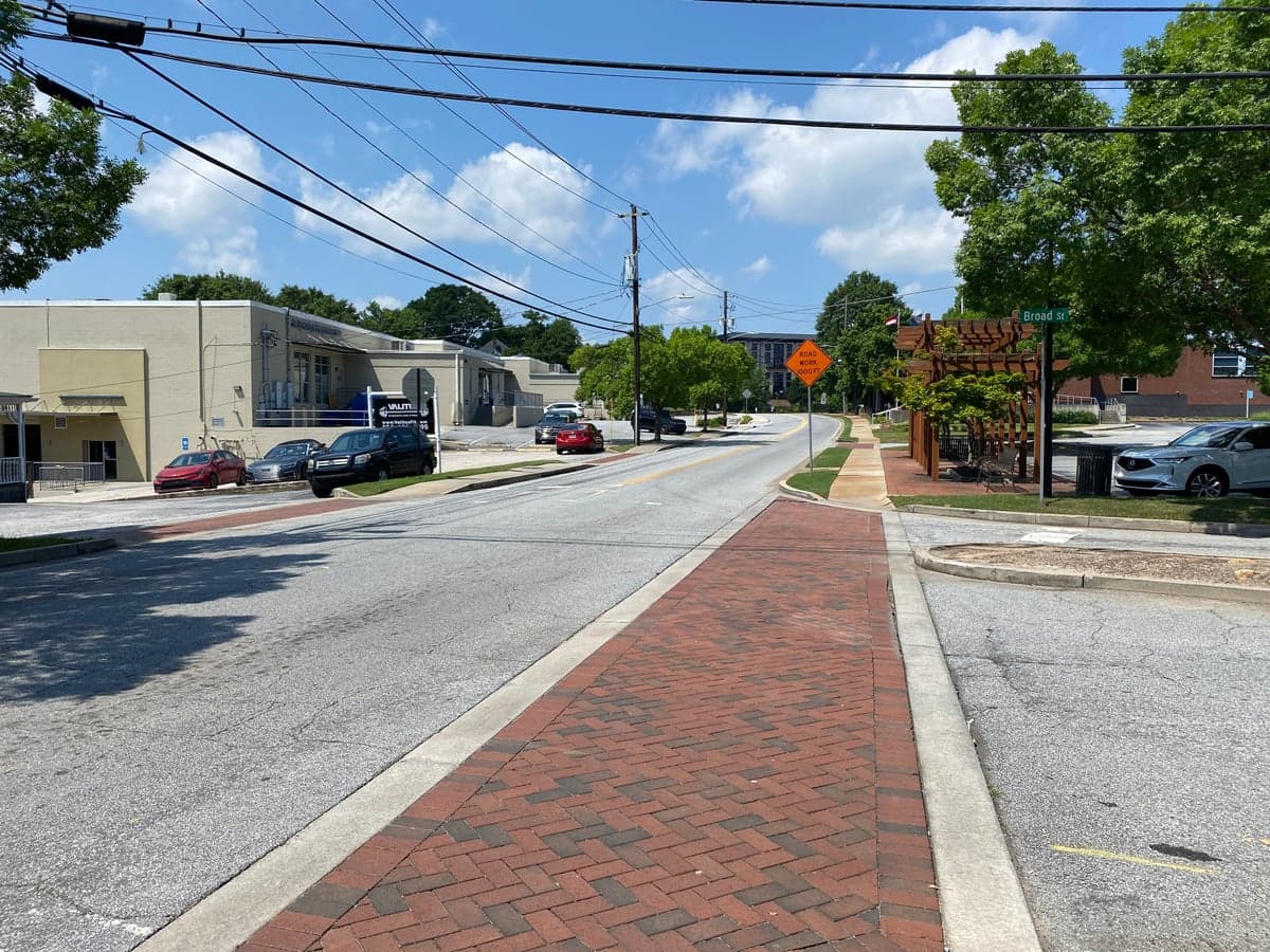
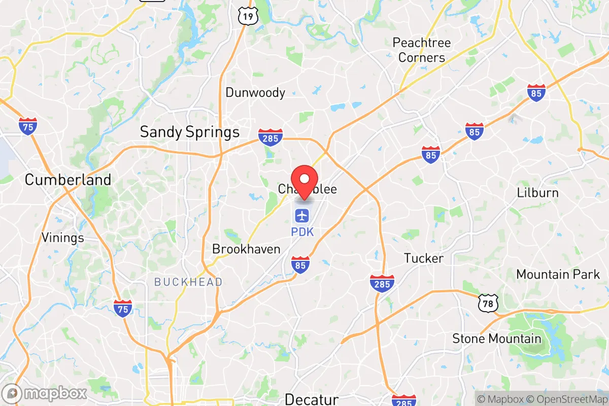
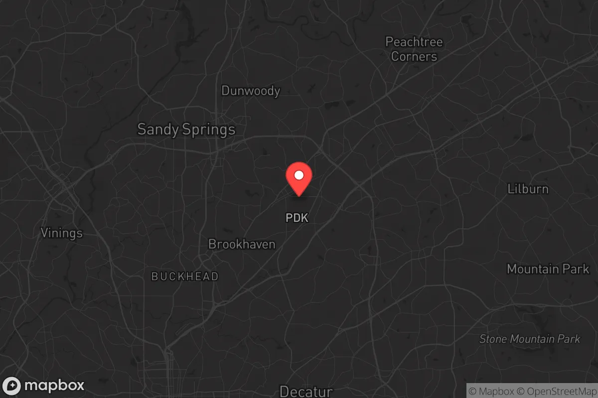
Chamblee, Georgia, sits in a precarious strategic position that demands careful consideration for anyone prioritizing long-term resilience. Located just 10 miles northeast of downtown Atlanta, this DeKalb County city of roughly 30,000 residents offers proximity to major infrastructure but also inherits the vulnerabilities of being within a major metropolitan area’s blast and fallout radius. For a relocator with a survivalist mindset, Chamblee’s location is a double-edged sword: it provides access to resources and transportation corridors, but its closeness to Atlanta, Hartsfield-Jackson International Airport, and multiple military installations makes it a high-risk zone for any scenario involving civil unrest, EMP events, or large-scale disasters. The city’s resilience is not zero, but it requires a clear-eyed assessment of what you’re trading for convenience.
Geographic position and natural advantages for long-term survival
Chamblee sits on the Piedmont plateau, with elevations around 1,000 feet above sea level, offering slightly better drainage and cooler temperatures than lower-lying areas. The city is bordered by the Chattahoochee River to the west, which provides a reliable surface water source, though access is limited by suburban development and private property. The area’s rolling hills and mixed hardwood forests offer some natural cover and defensible terrain, but the landscape is heavily fragmented by roads, subdivisions, and commercial strips. The proximity to I-85 and I-285 gives Chamblee quick access to regional evacuation routes, but those same highways would become choke points during a crisis. The city’s location within the Atlanta metropolitan statistical area means it is surrounded by nearly 6 million people, which is a net negative for prepper considerations—density creates competition for resources and increases the likelihood of being caught in mass movement events. The natural advantages here are modest: decent water proximity, moderate elevation, and a climate that supports year-round gardening, but the urban sprawl severely limits any true “bug out” potential within a 20-mile radius.
Risks, exposures, and proximity to fallout-relevant landmarks
The single greatest strategic liability for Chamblee is its proximity to Atlanta and its associated critical infrastructure. Hartsfield-Jackson International Airport, the world’s busiest, is roughly 20 miles south—a prime target for any kinetic or EMP attack. Dobbins Air Reserve Base, about 15 miles northwest, and Fort Gillem (now largely decommissioned but still a federal logistics hub) add to the target density. The Centers for Disease Control and Prevention (CDC) headquarters in nearby Druid Hills is another high-profile site that could draw attention in a biological event or civil unrest scenario. Chamblee itself hosts the Chamblee MARTA station, a rail link that connects directly to downtown Atlanta, making it a potential transit node for evacuation or, conversely, for looting parties moving outward from the city core. The city’s industrial corridor along Peachtree Industrial Boulevard includes chemical storage and light manufacturing, which could pose secondary hazards in a disaster. For a prepper, the risk calculus is clear: Chamblee is within the “danger zone” for any event targeting Atlanta’s government, military, or transportation assets. Fallout patterns from a nuclear detonation at the airport or CDC would likely cover Chamblee depending on wind direction, and the lack of substantial underground shelter infrastructure in most residential areas is a serious concern.
Practical resilience for a relocator: food, water, energy, and defensibility
For a single individual or family looking to establish a resilient household in Chamblee, the practical challenges are significant but not insurmountable if you’re willing to invest in hardening. The city’s water supply comes from the Chattahoochee River via DeKalb County’s water system, which is vulnerable to contamination and pump failure. A well is not feasible in most residential lots due to urban density and deed restrictions, so rainwater catchment and storage (at least 55 gallons per person) is a must. The grid is typical for the Southeast—overhead lines prone to storm outages—so a solar generator with at least 2,000 watt-hours of storage and a propane backup is recommended. Natural gas lines run through many neighborhoods, offering a cooking and heating option if the grid fails, but gas leaks after earthquakes or sabotage are a real risk. Food resilience is limited by lot size; most homes sit on quarter-acre or smaller plots, making large gardens impractical. Community gardens exist but are not defensible. Stockpiling at least three months of shelf-stable food in a basement or interior closet is the baseline. Defensibility is poor: Chamblee’s street grid is open, with many homes featuring large front windows and attached garages. A single-family home on a corner lot offers the best security, but even then, you’re relying on neighbors and local law enforcement—DeKalb County Police response times can exceed 15 minutes in high-call-volume periods. The city’s proximity to major highways means that any civil unrest in Atlanta could spill into Chamblee within hours, as seen during the 2020 protests when looting reached nearby Brookhaven. For a prepper, Chamblee requires a “gray man” approach: low-profile, well-stocked, and ready to shelter in place or move quickly if the situation deteriorates.
The overall strategic picture for Chamblee is one of calculated risk. It offers the convenience of urban amenities—grocery stores, hospitals, and hardware stores within a 10-minute drive—but that convenience comes at the cost of being inside a high-density, high-target metropolitan area. For a conservative-leaning relocator concerned with national instability, Chamblee is not a bug-out location; it’s a “hunker down and hope it doesn’t get bad” location. The city’s best feature is its access to the Chattahoochee River and the potential for small-scale self-sufficiency if you’re willing to retrofit a home with solar, water storage, and security upgrades. But the reality is that any major event—EMP, nuclear strike, or prolonged civil unrest—would make Chamblee a dangerous place to be within the first 72 hours. If your priority is true resilience, look further north toward the Blue Ridge foothills or west toward Alabama. If you must be near Atlanta for work or family, Chamblee is a passable choice, but only with serious preparation and a clear exit plan for when the city becomes a liability rather than an asset.
* Values derived from national, state, county, city and local statistics and may differ in a specific area. Last updated: 2026-04-30T13:03:22.000Z
Narrative content on this page is AI-generated and may contain mistakes. Verify any details that matter before acting on them.
ReloMaps may earn a commission from affiliate links at no extra cost to you.