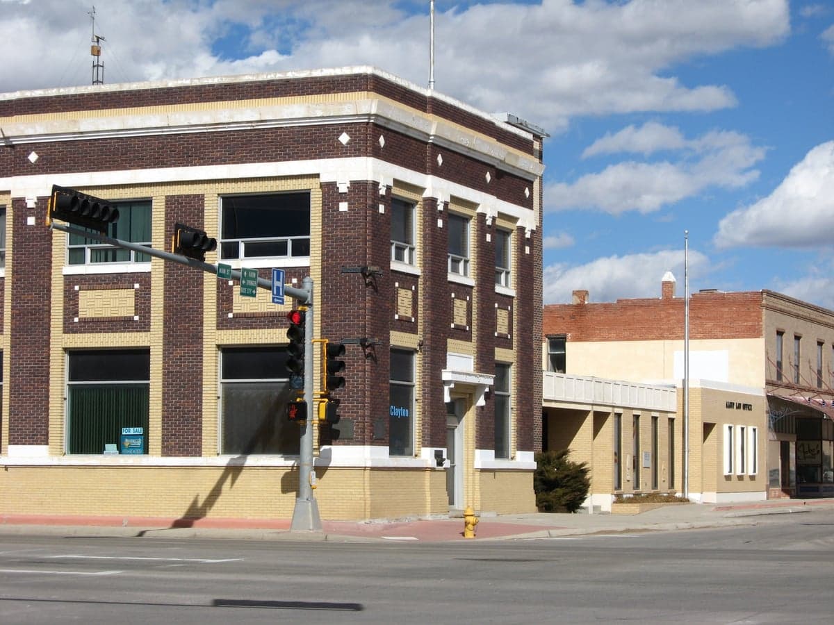
Photo: Wikipedia
Strategic Assessment of Clayton, NM
Strong survivability profile. Good buffer from population centers, with manageable environmental and tactical risks.
What does the Strategic Assessment tell us?
Our Strategic Assessment grades tactical survivability of an area. Major population centers, military targets, fallout zones, natural disasters, and border exposure all drive risk — lower exposure means a more defensible position in a crisis.
This is heavily inspired by Joel Skousen's Strategic Relocation book. Highly recommended you checkout the book ($)What does this tell us?
Our Strategic Assessment grades tactical survivability of an area. Major population centers, military targets, fallout zones, natural disasters, and border exposure all drive risk — lower exposure means a more defensible position in a crisis.
This is heavily inspired by Joel Skousen's Strategic Relocation book. Highly recommended you checkout the book ($)Strategic Pillars

Key Distances
Regional Safe Places
Below is our recommended "safe zones" in New Mexico and the surrounding area based on our strategic heuristics. For most people, it's unrealistic to live in a “safe zone” full-time due to work, family or other personal reasons. They tend to be more rural. However, many of these areas are perfect for second homes and retreat properties that double as a vacation home or even a short-term rental.

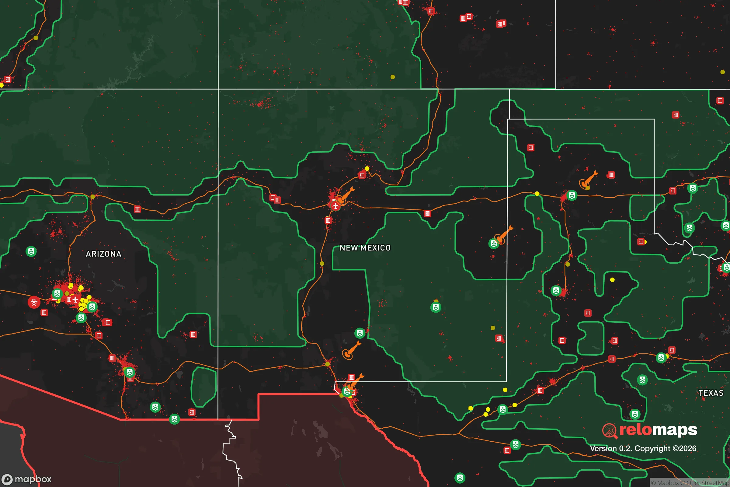
Important Note: For informational purposes only. This does not mean nothing bad ever happens in the green zones. Please use common sense. This is based on public data and modeled with AI. We tried to take a conservative approach but mistakes happen. We update this regularly as new information becomes available.
Solar Generator Recommendations
Backup power matters more here than in safer locations. We've picked three solar generators across budgets and capacity tiers — start with the budget unit if you only need a few essentials, or step up if you want to run a fridge and HVAC for days at a time.

Jackery Portable Power Station Explorer 300
Budget OptionPower on the Go: Weighing only 11 lbs, it's convenient to set up and store with book-sized foldable solar panels

BLUETTI Portable Power Station AC180
Designed for both indoor and outdoor scenarios, AC180 is highly capable as it has a robost capacity and continuous output power.

EF ECOFLOW DELTA Pro Ultra Power Station
Upgraded PickEcoFlow DELTA Pro Ultra is a whole-home energy system designed to grow with your family. Integrated with the Smart Home Panel 2, it scales to meet your evolving energy needs — keeping your home powered, intelligent, and secure through every stage of life.
We earn a commission, at no additional cost to you.
Strategic Assessment Analysis
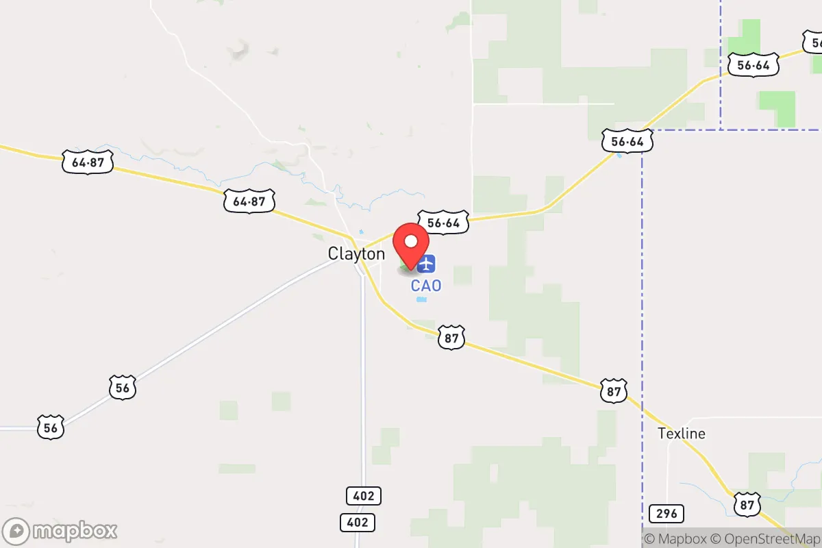
Clayton, New Mexico, sits as a remote outpost in the northeastern corner of the state, offering a strategic blend of isolation and access that appeals to those prioritizing long-term resilience. With a population hovering around 2,500 and the nearest major city—Amarillo, Texas—being roughly 90 miles east, Clayton provides a buffer from the chaos of urban centers while still being within a day’s drive of essential supply routes. Its location along U.S. Highway 56 and 64, near the intersection of the Oklahoma and Texas borders, gives it a quiet crossroads advantage: you can move supplies or people in multiple directions without funneling through a single chokepoint. For a conservative-minded relocator concerned with civic unrest or mass casualty events, Clayton’s low profile and sparse population density are immediate assets, reducing the likelihood of being caught in the crossfire of larger societal breakdowns.
Geographic position and natural advantages for long-term security
Clayton’s geography is defined by the high plains of the Raton Basin, sitting at an elevation of roughly 5,000 feet. This altitude offers a cooler, drier climate than much of the Southwest, which reduces the risk of extreme heat events and lowers the prevalence of moisture-dependent diseases. The area is part of the shortgrass prairie ecosystem, meaning the land is naturally suited for grazing rather than intensive farming, but it also means fewer natural barriers to movement—a double-edged sword. On the plus side, the flat to gently rolling terrain makes it easier to establish a homestead, set up solar panels, or dig a well without battling steep slopes or dense forest. The nearby Kiowa National Grassland and Clayton Lake State Park provide public land access for hunting, foraging, and water collection, though these areas are not heavily stocked with game year-round. The region’s low humidity also means less corrosion on stored equipment and fewer mold issues in root cellars, a practical advantage for preppers stockpiling supplies.
Risks, exposures, and proximity to fallout-relevant landmarks
Clayton’s primary vulnerability is its proximity to the Pantex nuclear weapons plant near Amarillo, roughly 90 miles east. While this distance provides a significant buffer—fallout patterns from a catastrophic event at Pantex would likely drift eastward with prevailing winds—it remains a concern for those mapping worst-case scenarios. The plant is a high-value target in any conflict scenario, and Clayton sits just outside the immediate blast zone but within the potential fallout corridor if winds shift. Additionally, the Union Pacific rail line running through Clayton is a secondary risk: it’s a critical freight corridor that could become a target for sabotage or a vector for hazardous material spills during unrest. On the natural disaster front, the area is prone to drought and occasional wildfires, but it’s not in a floodplain, hurricane zone, or earthquake belt. Tornadoes are a seasonal risk, though Clayton’s location on the high plains means they’re less frequent than in Tornado Alley proper. The biggest exposure is simply the lack of redundancy: if the single highway or rail line is cut, Clayton becomes a dead end, with limited options for resupply or evacuation.
Practical resilience for a relocator: food, water, energy, and defensibility
Water is the first concern in Clayton. The city draws from the Clayton Lake and the Ogallala Aquifer, but the aquifer is being depleted across the region, and the lake levels fluctuate with drought cycles. A relocator should plan on drilling a private well—depths of 200 to 400 feet are common—and installing a hand pump or solar-powered pump as a backup. Rainwater catchment is viable given the average 16 inches of annual precipitation, but it’s not enough for full self-sufficiency without storage tanks. Food production is limited by the short growing season (roughly 150 frost-free days) and alkaline soil, but cold-hardy crops like potatoes, carrots, and kale can thrive with raised beds and hoop houses. The area supports cattle ranching, so local meat and dairy are available if you establish relationships with ranchers early. For energy, Clayton gets abundant sunshine—over 280 sunny days per year—making solar a no-brainer. Wind is also a consistent resource, with average speeds of 12-15 mph, so a small wind turbine can supplement solar during winter months. Defensibility is mixed: the town itself is small and easy to monitor, with only a few entry points, but the surrounding flat terrain offers little cover for a retreat. A rural property with a clear line of sight in all directions is ideal, but it also means you’re visible from a distance. The local law enforcement presence is minimal—the Clayton Police Department has fewer than a dozen officers—so community self-reliance is the norm. The Union County Sheriff’s Office covers the vast rural area, but response times can be 30 minutes or more. For a relocator, the key is to build a network of like-minded neighbors; Clayton’s small size means everyone knows everyone, and trust is earned slowly.
The overall strategic picture for Clayton is one of trade-offs. It offers genuine isolation from the major population centers that will likely be the epicenters of unrest, mass casualty events, or infrastructure collapse. The low crime rate, affordable land (parcels can be found for under $1,000 per acre), and lack of zoning restrictions make it a blank slate for a prepper’s setup. But the trade-offs are real: limited medical facilities (the nearest hospital is in Raton, 60 miles away), a thin local economy dependent on agriculture and government services, and the ever-present risk of being cut off from supply lines. For a single individual or family willing to invest in self-sufficiency—solar, well, food storage, and community building—Clayton is a viable long-term haven. It’s not a bug-out location for a weekend; it’s a place to dig in and build a life that can weather the storm. The conservative values of the area align with a self-reliant mindset, and the local culture respects those who pull their own weight. If you’re looking for a place where you can be left alone and prepared, Clayton deserves a hard look—just don’t expect it to be easy. Resilience never is.
* Values derived from national, state, county, city and local statistics and may differ in a specific area. Last updated: 2026-05-01T14:32:43.000Z
Narrative content on this page is AI-generated and may contain mistakes. Verify any details that matter before acting on them.
ReloMaps may earn a commission from affiliate links at no extra cost to you.