 Popular
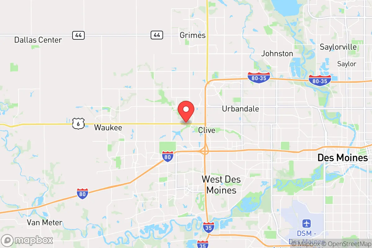
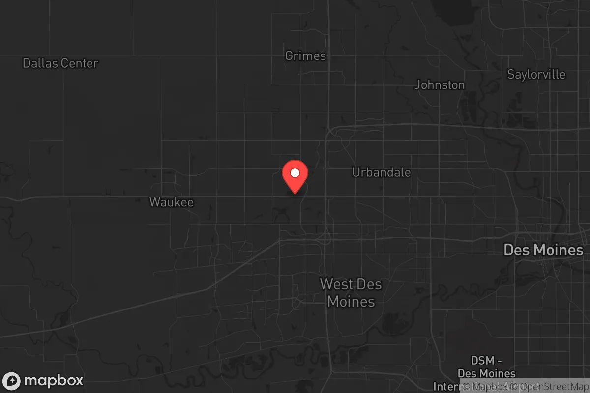
Photo: Wikipedia
Strategic Assessment of Clive, IA
Meaningful friction. Expect exposure to either population pressure, blast zones, or natural disaster risk. Consider buying a retreat property.
What does the Strategic Assessment tell us?
Our Strategic Assessment grades tactical survivability of an area. Major population centers, military targets, fallout zones, natural disasters, and border exposure all drive risk — lower exposure means a more defensible position in a crisis.
This is heavily inspired by Joel Skousen's Strategic Relocation book. Highly recommended you checkout the book ($)What does this tell us?
Our Strategic Assessment grades tactical survivability of an area. Major population centers, military targets, fallout zones, natural disasters, and border exposure all drive risk — lower exposure means a more defensible position in a crisis.
This is heavily inspired by Joel Skousen's Strategic Relocation book. Highly recommended you checkout the book ($)Strategic Pillars

Key Distances
Regional Safe Places
Below is our recommended "safe zones" in Iowa and the surrounding area based on our strategic heuristics. For most people, it's unrealistic to live in a “safe zone” full-time due to work, family or other personal reasons. They tend to be more rural. However, many of these areas are perfect for second homes and retreat properties that double as a vacation home or even a short-term rental.


Important Note: For informational purposes only. This does not mean nothing bad ever happens in the green zones. Please use common sense. This is based on public data and modeled with AI. We tried to take a conservative approach but mistakes happen. We update this regularly as new information becomes available.
Solar Generator Recommendations
Backup power matters more here than in safer locations. We've picked three solar generators across budgets and capacity tiers — start with the budget unit if you only need a few essentials, or step up if you want to run a fridge and HVAC for days at a time.

Jackery Portable Power Station Explorer 300
Budget OptionPower on the Go: Weighing only 11 lbs, it's convenient to set up and store with book-sized foldable solar panels

BLUETTI Portable Power Station AC180
Designed for both indoor and outdoor scenarios, AC180 is highly capable as it has a robost capacity and continuous output power.

EF ECOFLOW DELTA Pro Ultra Power Station
Upgraded PickEcoFlow DELTA Pro Ultra is a whole-home energy system designed to grow with your family. Integrated with the Smart Home Panel 2, it scales to meet your evolving energy needs — keeping your home powered, intelligent, and secure through every stage of life.
We earn a commission, at no additional cost to you.
Strategic Assessment Analysis
Clive, Iowa, presents a mixed bag for the strategic relocator with a prepper mindset. Its primary advantage is its position within the Des Moines metropolitan area, offering robust infrastructure and economic resilience, but this very proximity to a major population center introduces significant vulnerabilities. For those prioritizing long-term security and self-sufficiency, Clive is less a standalone fortress and more a well-supplied forward operating base that requires a clear-eyed understanding of its risks and a deliberate plan for mitigation.
Geographic position and natural advantages for long-term security
Clive sits in central Iowa, roughly 10 miles west of downtown Des Moines, placing it within the broader Des Moines-West Des Moines metropolitan statistical area. The area's geography is defined by the rolling plains of the Des Moines Lobe, with the Raccoon River and its tributaries forming the southern boundary. This riverine system is a double-edged sword: it provides a potential water source and natural barriers, but also a flood risk. The land itself is fertile, with deep, well-drained soils that are among the most productive in the world. For a relocator, this means the potential for small-scale agriculture or gardening is excellent, provided you secure land with access to water. The climate is continental, with cold winters and hot, humid summers, which demands robust heating and cooling systems but also supports a long growing season for cold-hardy crops. The area is not prone to earthquakes, hurricanes, or wildfires, making it a relatively stable geological choice. The primary natural advantage is the sheer agricultural productivity of the surrounding region, which could serve as a buffer against food supply chain disruptions if local networks are maintained.
Risks, exposures, and proximity to fallout-relevant landmarks
The most significant risk for Clive is its proximity to Des Moines, the state capital and largest city in Iowa. In a scenario of civic unrest, mass casualty events, or a breakdown of social order, a population center of roughly 700,000 people (metro area) becomes a liability. Des Moines is a hub for government, finance, insurance, and healthcare, meaning it is a likely target for any coordinated disruption. Specifically, the city hosts the Iowa State Capitol, the Federal Building, and major corporate headquarters like Principal Financial Group and Wells Fargo's regional operations. A mass casualty event or targeted attack on these landmarks would create a ripple effect of chaos, potentially overwhelming local law enforcement and medical resources. Clive itself, being a western suburb, is not a primary target, but it lies directly in the path of any evacuation or refugee flow from the city. The Interstate 80/35 corridor, which runs just north of Clive, is a major east-west and north-south artery that would become a chokepoint in a crisis. Additionally, the Des Moines International Airport is a potential target for air-based threats or a staging area for federal response, which could draw unwanted attention. The presence of the Des Moines Water Works and the city's electrical grid infrastructure also represent single points of failure that could cascade into Clive. In short, while Clive itself is not a high-value target, its fate is inextricably linked to the stability of Des Moines, and a relocator must plan for the possibility of being caught in the crossfire or the outflow.
Practical resilience for a relocator: food, water, energy, and defensibility
For a single individual or family, building resilience in Clive requires a proactive, layered approach. Food security is the most achievable goal. The surrounding farmland is a massive resource, but access to it depends on relationships with local farmers or securing your own plot. Clive's residential lots are typically suburban—quarter-acre to half-acre—which limits large-scale gardening but is sufficient for a high-yield vegetable garden, fruit trees, and a small chicken coop. The local farmers' markets and co-ops in nearby West Des Moines and Urbandale offer a backup, but these are vulnerable to supply chain disruptions. Water security is more challenging. The municipal water supply comes from the Des Moines Water Works, which draws from the Raccoon and Des Moines Rivers. This system is vulnerable to contamination, whether from industrial accidents, agricultural runoff, or deliberate sabotage. A relocator should invest in a high-quality water filtration system (e.g., Berkey or a reverse osmosis unit) and consider drilling a private well if property allows, though well water in the area can be high in nitrates and iron. Rainwater collection is legal in Iowa and can supplement non-potable uses. Energy resilience is critical. The grid in central Iowa is generally reliable, but ice storms and derecho events (like the August 2020 storm that devastated the region) can cause multi-day outages. A whole-house generator running on propane or natural gas is a wise investment, paired with a small solar panel system for off-grid capability. Defensibility is the weakest point for most suburban homes. Clive's neighborhoods are open, with easy access from multiple streets. A relocator should prioritize a home on a cul-de-sac, with a fenced backyard, and consider reinforcing doors and windows. Building a community of like-minded neighbors is the single most effective defensive measure—a neighborhood watch or mutual aid group can provide early warning and shared resources. The local police department is responsive, but in a widespread crisis, response times will lengthen dramatically. The proximity to the Iowa National Guard's Camp Dodge in Johnston (about 15 miles north) is a double-edged sword: it provides a potential source of order but also a potential target.
The overall strategic picture for Clive is one of calculated risk. It offers the economic and logistical advantages of a major metro area—good hospitals, schools, and supply chains—while being far enough from the urban core to avoid the worst of a potential collapse. For a conservative-leaning relocator who values community, self-reliance, and preparedness, Clive is a viable option if you are willing to invest in hardening your home, building local networks, and maintaining a low profile. The key is to treat Clive not as a final destination but as a base of operations. Have a bug-out plan for a rural retreat further west or north, where land is cheaper and population density is lower. Stockpile supplies for at least 90 days, including food, water, medical kits, and ammunition. Stay informed about local politics and community events—the area leans conservative, which can be an asset for finding like-minded allies. Ultimately, Clive is a good place to be prepared, but not a place to be complacent. The risks are real, but with deliberate planning, they are manageable. The question is not whether you can survive here, but whether you are willing to do the work to make it so.
* Values derived from national, state, county, city and local statistics and may differ in a specific area. Last updated: 2026-04-23T04:09:26.000Z
Narrative content on this page is AI-generated and may contain mistakes. Verify any details that matter before acting on them.
ReloMaps may earn a commission from affiliate links at no extra cost to you.