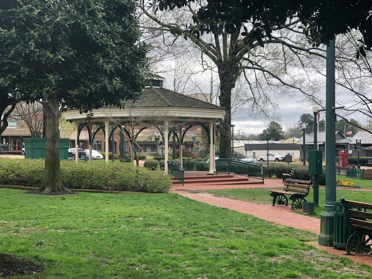
Photo: Wikipedia
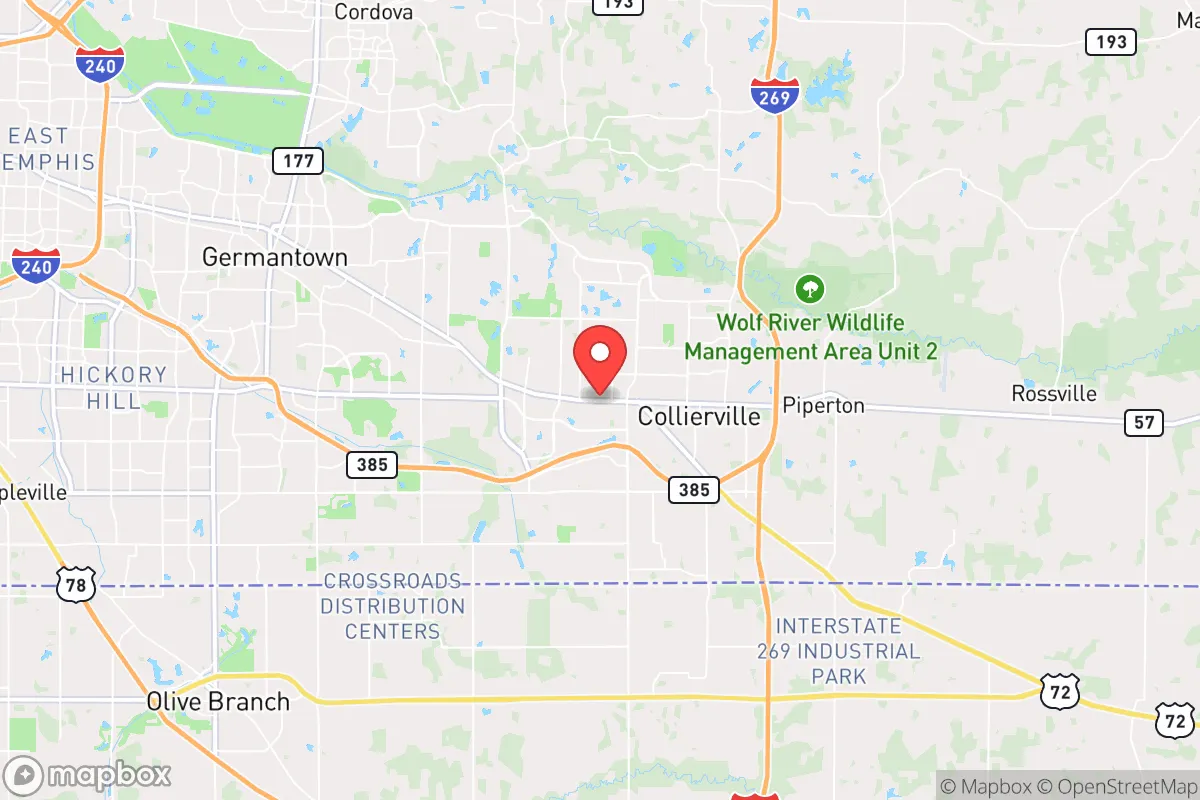
Strategic Assessment of Collierville, TN
Meaningful friction. Expect exposure to either population pressure, blast zones, or natural disaster risk. Consider buying a retreat property.
What does the Strategic Assessment tell us?
Our Strategic Assessment grades tactical survivability of an area. Major population centers, military targets, fallout zones, natural disasters, and border exposure all drive risk — lower exposure means a more defensible position in a crisis.
This is heavily inspired by Joel Skousen's Strategic Relocation book. Highly recommended you checkout the book ($)What does this tell us?
Our Strategic Assessment grades tactical survivability of an area. Major population centers, military targets, fallout zones, natural disasters, and border exposure all drive risk — lower exposure means a more defensible position in a crisis.
This is heavily inspired by Joel Skousen's Strategic Relocation book. Highly recommended you checkout the book ($)Strategic Pillars

Key Distances
Regional Safe Places
Below is our recommended "safe zones" in Tennessee and the surrounding area based on our strategic heuristics. For most people, it's unrealistic to live in a “safe zone” full-time due to work, family or other personal reasons. They tend to be more rural. However, many of these areas are perfect for second homes and retreat properties that double as a vacation home or even a short-term rental.
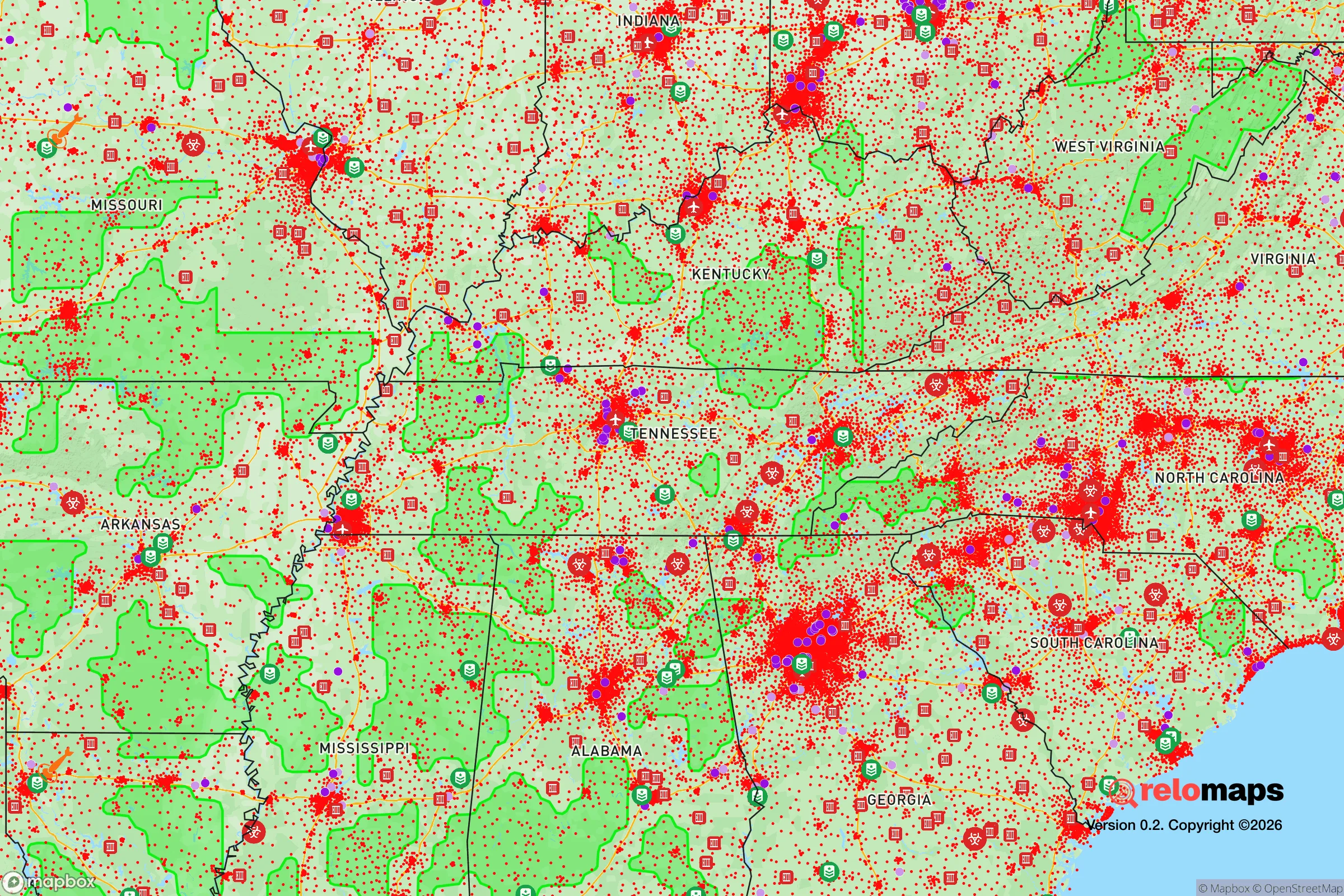
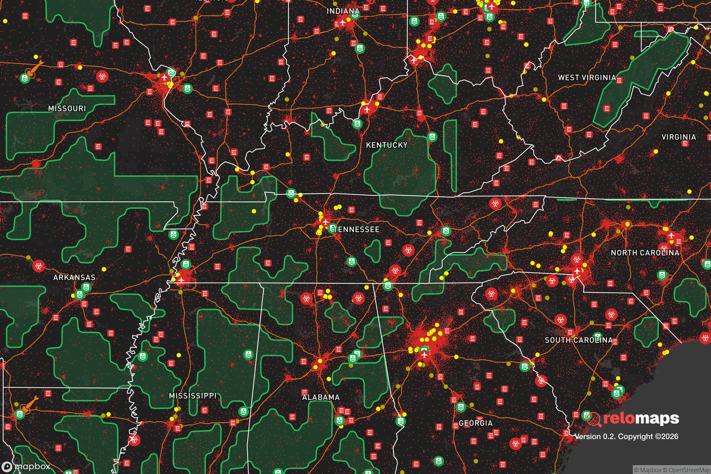
Important Note: For informational purposes only. This does not mean nothing bad ever happens in the green zones. Please use common sense. This is based on public data and modeled with AI. We tried to take a conservative approach but mistakes happen. We update this regularly as new information becomes available.
Solar Generator Recommendations
Backup power matters more here than in safer locations. We've picked three solar generators across budgets and capacity tiers — start with the budget unit if you only need a few essentials, or step up if you want to run a fridge and HVAC for days at a time.

Jackery Portable Power Station Explorer 300
Budget OptionPower on the Go: Weighing only 11 lbs, it's convenient to set up and store with book-sized foldable solar panels

BLUETTI Portable Power Station AC180
Designed for both indoor and outdoor scenarios, AC180 is highly capable as it has a robost capacity and continuous output power.

EF ECOFLOW DELTA Pro Ultra Power Station
Upgraded PickEcoFlow DELTA Pro Ultra is a whole-home energy system designed to grow with your family. Integrated with the Smart Home Panel 2, it scales to meet your evolving energy needs — keeping your home powered, intelligent, and secure through every stage of life.
We earn a commission, at no additional cost to you.
Strategic Assessment Analysis
Collierville, Tennessee, sits in a deceptive sweet spot for strategic relocation: close enough to Memphis for supply runs and economic ties, but far enough east to avoid the worst of that city's crime, unrest, and infrastructure decay. The town's position along the I-269 corridor and its proximity to the Mississippi River Valley give it a logistical backbone that matters when supply chains falter, while its location in the Tennessee-Mississippi border region offers a buffer against the kind of coastal or border-state chaos that tends to erupt first. For a prepper or survivalist looking at the mid-South, Collierville checks several boxes that most suburban towns cannot—but it also carries risks that demand clear-eyed assessment.
Geographic position and natural advantages for long-term security
Collierville's geography is its strongest card. Situated on the eastern edge of Shelby County, the town sits on the Loess Bluffs, a ridge of wind-deposited soil that provides natural drainage and elevation above the flood-prone Mississippi floodplain. This means the town is largely immune to the catastrophic flooding that periodically devastates Memphis and West Memphis, even during 100-year rain events. The surrounding landscape is a mix of hardwood forest, rolling farmland, and the headwaters of the Nonconnah Creek watershed, which offers multiple small water sources for off-grid use—though none are large enough to support a city without treatment. The area's temperate climate allows for year-round gardening and livestock, with a growing season of roughly 210 days, and the soil in the eastern part of the county is rich silt loam suitable for subsistence farming. Collierville also sits within a day's drive of the Tennessee River, the Mississippi River, and the major interstate network (I-40, I-55, I-269), meaning you can reach the Ozarks, the Appalachian foothills, or the Gulf Coast within 4-6 hours—a critical evacuation or resupply radius. The town's position on the Tennessee-Mississippi state line also provides a legal and jurisdictional buffer: if one state imposes draconian lockdowns or confiscation orders, the other may not, giving residents a practical escape hatch.
Risks, exposures, and proximity to fallout-relevant landmarks
No strategic assessment is honest without naming the liabilities. Collierville's biggest exposure is its proximity to Memphis, a city that has ranked among the nation's highest for violent crime for years and which, in a collapse scenario, would become a humanitarian and security nightmare. Memphis is 25 miles west, and its population of 630,000 includes a significant number of people who would likely flee east along Poplar Avenue and I-40 during a crisis, directly through Collierville. The town is also within 30 miles of the Memphis International Airport, a major FedEx hub that would be a target for looting, military seizure, or civil unrest in a national emergency. Further out, the Tennessee Valley Authority's nuclear plants—Watts Bar and Sequoyah—are roughly 200 miles east, outside the immediate fallout zone but close enough that a catastrophic release could affect regional water and food supplies. On the plus side, Collierville has no major chemical plants, refineries, or military bases within its borders, and the nearest active rail lines carrying hazardous materials run through Memphis proper, not through the town. The biggest natural threat is the New Madrid Seismic Zone, which sits about 150 miles north; a major quake there could disrupt the Mississippi River bridges and I-40 corridor, effectively isolating Collierville from the west and north for weeks. Residents should plan for a scenario where Memphis becomes a no-go zone and the bridges over the Mississippi are compromised, forcing reliance on the I-269 loop and state highways to the east and south.
Practical resilience for a relocator: food, water, energy, and defensibility
For a single individual or family looking to hunker down, Collierville offers a mix of suburban convenience and rural-adjacent practicality. The town's water supply comes from the Memphis Sand Aquifer, one of the largest and cleanest groundwater sources in the country, and the aquifer is deep enough that it is unlikely to be contaminated by surface events—a major advantage over cities that rely on rivers or reservoirs. However, the municipal water system is powered by the grid, so a backup well or rainwater catchment is essential for long-term off-grid living. The local power grid is served by Memphis Light, Gas and Water, which has a mixed reliability record; ice storms and summer thunderstorms cause periodic outages, but the town's underground utilities in newer subdivisions reduce vulnerability compared to older Memphis neighborhoods. Food resilience is moderate: there are several grocery chains (Kroger, Walmart, Aldi) within a 10-minute drive, but the town has no significant local agriculture or food processing infrastructure—you are dependent on trucked-in supplies. The surrounding farmland is mostly row crops (cotton, soybeans, corn) and some cattle operations, so barter relationships with local farmers would be valuable. Defensibility is the weak point. Collierville is a sprawling suburban town with multiple entry points via Highway 72, Highway 385, and numerous secondary roads. There are no natural chokepoints, and the terrain is gently rolling with good visibility but no high ground. A determined group could not easily defend the entire town, but a single-family home on a large lot with a fenced perimeter and good sightlines is feasible—especially in the older, more rural sections east of the town square. The town's police force is well-funded and professional, but in a prolonged crisis, they would be overwhelmed by the volume of refugees from Memphis. The local population is predominantly conservative, church-going, and armed, which cuts both ways: it means a higher baseline of self-reliance and mutual aid, but also a potential for conflict if resources become scarce.
The overall strategic picture for Collierville is one of calculated trade-offs. It is not a remote survivalist redoubt—you will have neighbors, traffic, and the constant hum of suburban life. But for someone who wants to be within striking distance of a major city's economy while maintaining a credible fallback position, it is one of the better options in the mid-South. The town's aquifer, elevation, and distance from Memphis's worst chaos give it a resilience that many suburbs lack, and the surrounding region offers multiple escape routes and resource zones. The key is to treat Collierville as a base of operations, not a final fortress: invest in a well, solar panels, and a deep pantry; build relationships with local farmers and gun clubs; and have a bug-out plan for the Ozarks or the Cumberland Plateau if the Memphis corridor collapses entirely. For the conservative prepper who values community, schools, and a low tax burden but refuses to be naive about the future, Collierville is a solid B+—not perfect, but far better than most of what the American South offers at this price point.
* Values derived from national, state, county, city and local statistics and may differ in a specific area. Last updated: 2026-05-01T18:45:38.000Z
Narrative content on this page is AI-generated and may contain mistakes. Verify any details that matter before acting on them.
ReloMaps may earn a commission from affiliate links at no extra cost to you.