
Photo: Wikipedia
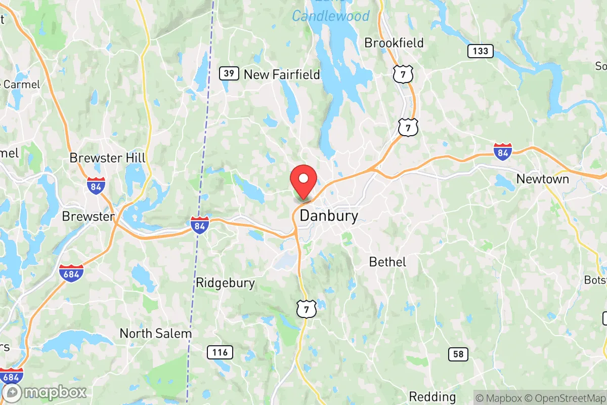
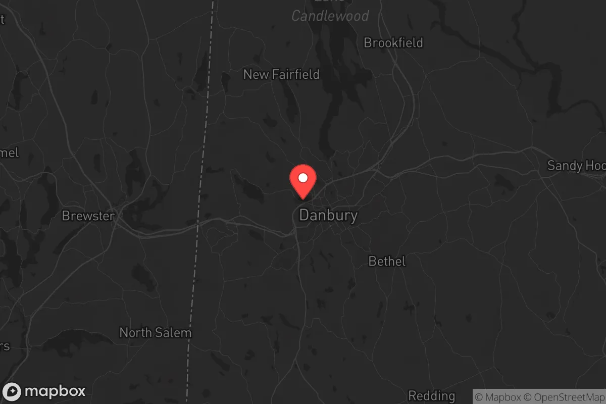
Strategic Assessment of Danbury, CT
Multiple tactical vulnerabilities. Population density, target proximity, or disaster risk are likely compounding. A retreat property and exit planning is required.
What does the Strategic Assessment tell us?
Our Strategic Assessment grades tactical survivability of an area. Major population centers, military targets, fallout zones, natural disasters, and border exposure all drive risk — lower exposure means a more defensible position in a crisis.
This is heavily inspired by Joel Skousen's Strategic Relocation book. Highly recommended you checkout the book ($)What does this tell us?
Our Strategic Assessment grades tactical survivability of an area. Major population centers, military targets, fallout zones, natural disasters, and border exposure all drive risk — lower exposure means a more defensible position in a crisis.
This is heavily inspired by Joel Skousen's Strategic Relocation book. Highly recommended you checkout the book ($)Strategic Pillars

Key Distances
Regional Safe Places
Below is our recommended "safe zones" in Connecticut and the surrounding area based on our strategic heuristics. For most people, it's unrealistic to live in a “safe zone” full-time due to work, family or other personal reasons. They tend to be more rural. However, many of these areas are perfect for second homes and retreat properties that double as a vacation home or even a short-term rental.


Important Note: For informational purposes only. This does not mean nothing bad ever happens in the green zones. Please use common sense. This is based on public data and modeled with AI. We tried to take a conservative approach but mistakes happen. We update this regularly as new information becomes available.
Solar Generator Recommendations
Backup power matters more here than in safer locations. We've picked three solar generators across budgets and capacity tiers — start with the budget unit if you only need a few essentials, or step up if you want to run a fridge and HVAC for days at a time.

Jackery Portable Power Station Explorer 300
Budget OptionPower on the Go: Weighing only 11 lbs, it's convenient to set up and store with book-sized foldable solar panels

BLUETTI Portable Power Station AC180
Designed for both indoor and outdoor scenarios, AC180 is highly capable as it has a robost capacity and continuous output power.

EF ECOFLOW DELTA Pro Ultra Power Station
Upgraded PickEcoFlow DELTA Pro Ultra is a whole-home energy system designed to grow with your family. Integrated with the Smart Home Panel 2, it scales to meet your evolving energy needs — keeping your home powered, intelligent, and secure through every stage of life.
We earn a commission, at no additional cost to you.
Strategic Assessment Analysis
Danbury, Connecticut, occupies a strategic position that is both a blessing and a liability for the survival-minded relocator. Nestled in the foothills of the Berkshires and straddling the border with New York, it offers a mix of suburban infrastructure and access to rural escape routes, but its proximity to the New York City metroplex—roughly 60 miles away—introduces risks that cannot be ignored. For a conservative-leaning individual or family prioritizing resilience, Danbury presents a nuanced trade-off: it is close enough to major resources to be useful, yet close enough to a primary target zone to demand serious contingency planning.
Geographic position and natural advantages for long-term survival
Danbury sits in Fairfield County, but its western edge bumps up against the more sparsely populated Litchfield County, giving residents a natural buffer. The city itself is built on a series of hills, with the Candlewood Lake—Connecticut’s largest lake—just a few miles north. This topography offers defensible high ground and a reliable freshwater source, both critical for a grid-down scenario. The surrounding region is heavily forested, with the Appalachian Trail running roughly 20 miles east, providing potential bug-out corridors into the less populated interior of New England. The climate is temperate, with four distinct seasons, meaning you can grow food from May through October, but you’ll need to plan for winter heating and water storage. The area’s bedrock geology is primarily gneiss and granite, which means well water is generally accessible but may require deep drilling—something to verify before buying property. For the prepper, the key advantage here is the ability to move north or west into rural New York or Massachusetts within an hour, while still having access to Danbury’s hospitals, hardware stores, and supply chains during normal times.
Risks, exposures, and proximity to fallout-relevant landmarks
The single greatest vulnerability for Danbury is its location within the New York City blast and fallout shadow. In a major nuclear exchange, the city lies roughly 60 miles from Manhattan, which is a high-value target. Depending on wind patterns, fallout from a ground burst on the city could reach Danbury within hours. The Indian Point Energy Center in Buchanan, NY—about 30 miles southwest—was decommissioned in 2021, but the spent fuel remains on site in dry casks, a potential radiological hazard if targeted or damaged. Additionally, the Danbury Municipal Airport is a general aviation field, not a major military target, but the nearby Sikorsky Aircraft plant in Stratford (30 miles south) and the Electric Boat submarine yard in Groton (60 miles east) are both strategic assets that could draw secondary strikes. On the civil unrest front, Danbury’s population of roughly 85,000 is diverse and relatively stable, but it sits on I-84, a major east-west corridor that would become a choke point during an evacuation from New York. In a collapse scenario, the city could see a surge of refugees from the south, straining local resources. The risk of natural disasters is lower—no hurricanes have directly hit the area in decades, and tornadoes are rare—but winter ice storms can knock out power for a week or more, as seen in the 2011 Halloween nor’easter that left parts of the region dark for 11 days.
Practical resilience for a relocator: food, water, energy, and defensibility
For the individual or family looking to establish a resilient homestead, Danbury offers a mixed bag. The city itself is built out, with most lots being quarter-acre or smaller in the suburbs, but you can find 1- to 5-acre parcels in the northern and western fringes, particularly around Candlewood Lake and the town of New Fairfield. Well water is common in those areas, but you’ll need to test for PFAS contamination, which has been detected in some private wells near the former Danbury landfill and the Barden Corporation site—a legacy of the city’s hat-making industrial past. Municipal water comes from the reservoirs in the Pootatuck River watershed, which are surface-fed and vulnerable to contamination or sabotage. For energy, solar is viable—Connecticut offers net metering and state tax credits—but the region’s frequent cloud cover means you’ll need battery storage or a backup generator. Natural gas is available in most of the city, which is a plus for heating and cooking during grid outages, but the pipelines are a single point of failure. Defensibility is moderate: the hilly terrain provides natural observation points, but the dense suburban layout means you can’t easily secure a perimeter. A better bet is to buy land in the adjacent towns of Sherman or Kent, where you can get 10+ acres with a long driveway and tree cover. For food, the growing season is short—about 150 days—but the soil is decent for gardens, and there are several local farms (e.g., Maple Bank Farm in Roxbury) that sell bulk grains and livestock feed. The Danbury Farmers’ Market runs from June to October, but don’t count on it in a crisis. Stockpiling is essential: the nearest major distribution center is in Newburgh, NY, which could be cut off in a disruption.
The overall strategic picture for Danbury is one of calculated risk. It is not a survivalist’s paradise—you are too close to a primary target zone, and the suburban infrastructure creates dependencies that could fail under pressure. But for the relocator who wants to maintain a professional career while building a fallback position, it offers a workable compromise. The key is to treat Danbury as a base of operations, not a final redoubt. Secure a property with well water, solar panels, and a wood stove in the northern outskirts, and establish a bug-out location further north in the Berkshires or the Adirondacks. Keep a low profile, build relationships with like-minded neighbors, and avoid drawing attention to your preparations. In a world where the coastlines are vulnerable and the cities are powder kegs, Danbury gives you a foothold in the Northeast without being trapped in the blast zone. Just make sure you have a plan to leave before the refugees do.
* Values derived from national, state, county, city and local statistics and may differ in a specific area. Last updated: 2026-04-30T01:30:52.000Z
Narrative content on this page is AI-generated and may contain mistakes. Verify any details that matter before acting on them.
ReloMaps may earn a commission from affiliate links at no extra cost to you.