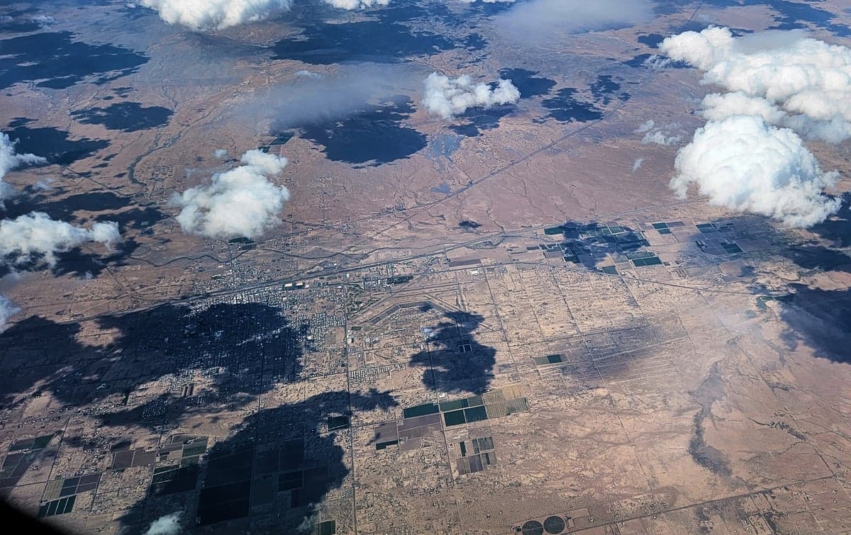
Photo: Wikipedia
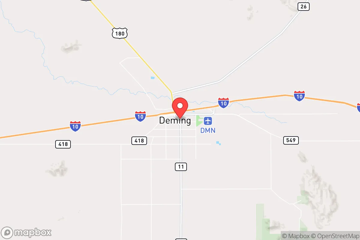
Strategic Assessment of Deming, NM
Workable tactical position. Some exposure to population density or targets, but generally defensible in a crisis.
What does the Strategic Assessment tell us?
Our Strategic Assessment grades tactical survivability of an area. Major population centers, military targets, fallout zones, natural disasters, and border exposure all drive risk — lower exposure means a more defensible position in a crisis.
This is heavily inspired by Joel Skousen's Strategic Relocation book. Highly recommended you checkout the book ($)What does this tell us?
Our Strategic Assessment grades tactical survivability of an area. Major population centers, military targets, fallout zones, natural disasters, and border exposure all drive risk — lower exposure means a more defensible position in a crisis.
This is heavily inspired by Joel Skousen's Strategic Relocation book. Highly recommended you checkout the book ($)Strategic Pillars

Key Distances
Regional Safe Places
Below is our recommended "safe zones" in New Mexico and the surrounding area based on our strategic heuristics. For most people, it's unrealistic to live in a “safe zone” full-time due to work, family or other personal reasons. They tend to be more rural. However, many of these areas are perfect for second homes and retreat properties that double as a vacation home or even a short-term rental.

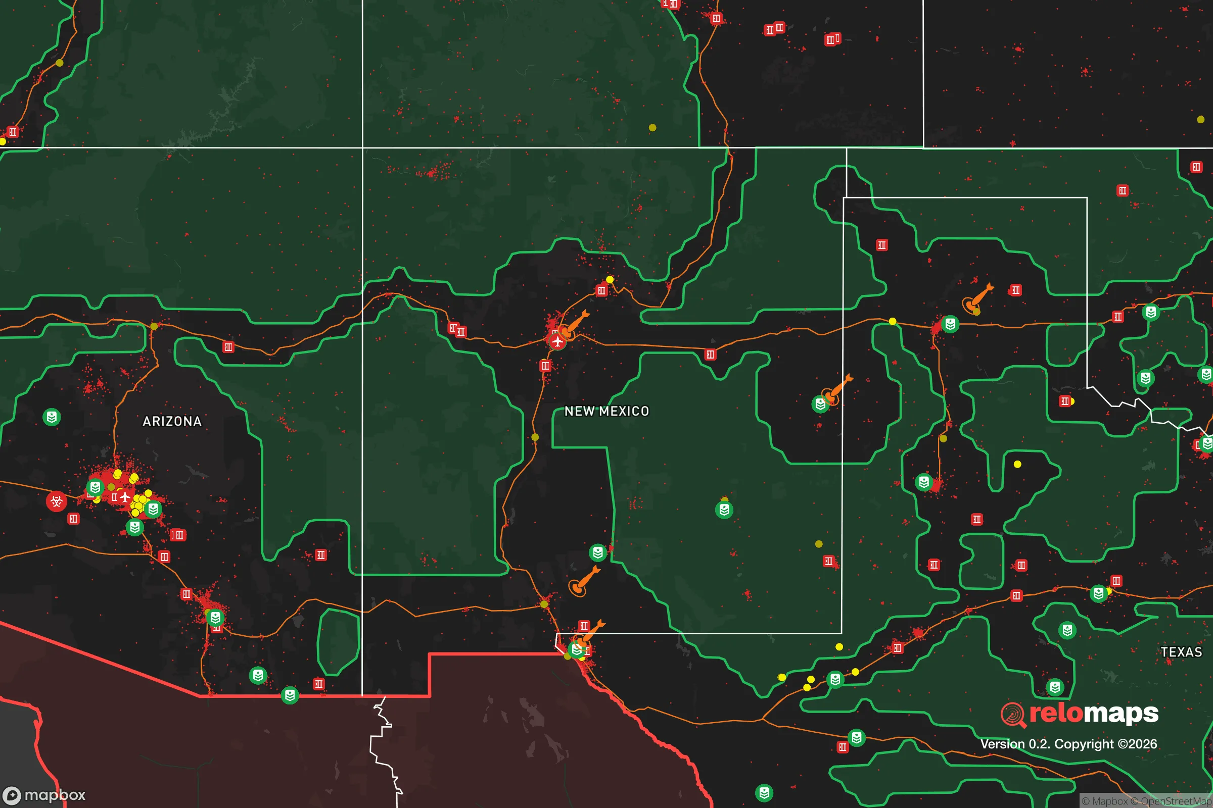
Important Note: For informational purposes only. This does not mean nothing bad ever happens in the green zones. Please use common sense. This is based on public data and modeled with AI. We tried to take a conservative approach but mistakes happen. We update this regularly as new information becomes available.
Solar Generator Recommendations
Backup power matters more here than in safer locations. We've picked three solar generators across budgets and capacity tiers — start with the budget unit if you only need a few essentials, or step up if you want to run a fridge and HVAC for days at a time.

Jackery Portable Power Station Explorer 300
Budget OptionPower on the Go: Weighing only 11 lbs, it's convenient to set up and store with book-sized foldable solar panels

BLUETTI Portable Power Station AC180
Designed for both indoor and outdoor scenarios, AC180 is highly capable as it has a robost capacity and continuous output power.

EF ECOFLOW DELTA Pro Ultra Power Station
Upgraded PickEcoFlow DELTA Pro Ultra is a whole-home energy system designed to grow with your family. Integrated with the Smart Home Panel 2, it scales to meet your evolving energy needs — keeping your home powered, intelligent, and secure through every stage of life.
We earn a commission, at no additional cost to you.
Strategic Assessment Analysis
Deming, New Mexico, sits as a quiet outlier in the Southwest—far enough from major population centers to avoid the immediate blast zones of a national crisis, yet close enough to critical infrastructure to sustain a post-disruption lifestyle. Its position along Interstate 10 and the Union Pacific rail line gives it a logistical edge for supply movement, while its low population density and arid climate reduce the risks of disease spread and resource competition that plague denser areas. For a relocator thinking in decades rather than years, Deming offers a foundation that is less about comfort and more about survivability in an increasingly volatile world.
Geographic isolation and natural buffer zones
Deming’s primary strategic asset is its location in Luna County, roughly 60 miles from the Mexican border and 120 miles from El Paso. This places it outside the immediate fallout radius of any major city—El Paso, Las Cruces, and Albuquerque are all far enough that a nuclear event or large-scale civil unrest in those areas would not directly threaten Deming. The surrounding landscape is high desert at about 4,300 feet, with the Florida Mountains to the south and the Cookes Range to the north providing natural terrain breaks that slow movement and offer defensible positions. The area’s low rainfall (under 10 inches annually) means less flooding risk and fewer weather-related disasters, though it also means water is the primary constraint. The Mimbres River runs intermittently to the north, and the region sits atop the Hueco Bolson aquifer, which is a deep, finite water source—not renewable on a human timescale, but sufficient for a small population if managed carefully. The isolation also means fewer people to compete with for resources; Luna County’s population hovers around 25,000, and Deming itself is roughly 14,000. That’s a community small enough to know your neighbors but large enough to have a hospital, a police force, and a basic supply chain.
Exposure risks and proximity to high-value targets
No location is risk-free, and Deming has its own vulnerabilities. The most obvious is its proximity to the U.S.-Mexico border—about 45 minutes south. In a scenario of widespread civil unrest or a collapse of federal authority, the border could become a funnel for displaced populations, cartel activity, or military checkpoints. The Santa Teresa port of entry, about 70 miles west, is a major commercial crossing, and any disruption there would ripple through Deming’s supply lines. Additionally, the Union Pacific rail line that runs through town is a strategic target—if national logistics break down, that rail corridor could become a chokepoint for food and fuel distribution, drawing unwanted attention. The White Sands Missile Range, about 90 miles northeast, is a military installation that could be a target in a conflict, though its remote location and hardened facilities make it less likely to cause widespread fallout. Fort Bliss, near El Paso, is a major Army post and a potential staging ground for federal forces, which could make the entire region a zone of military activity during a national emergency. Deming itself has no significant industrial or military targets, which is a net positive, but its position along a major east-west highway (I-10) means it would see refugee traffic from both coasts in a crisis. The key is that Deming is not a target—it’s a transit corridor, and that brings its own risks.
Practical resilience: food, water, energy, and defensibility
For a relocator serious about self-sufficiency, Deming’s practical assets are mixed but workable. Water is the hard limit. The city gets its municipal supply from the aquifer, and while it’s currently adequate, a prolonged drought or a surge in population could strain it. Rainwater harvesting is possible but yields are low—expect maybe 10-15 gallons per 1,000 square feet of roof per inch of rain. A well is the better bet, but drilling depth in the basin can exceed 500 feet, and permits are required. For food, the growing season is long (about 200 frost-free days), but the soil is alkaline and low in organic matter. Raised beds with imported soil and drip irrigation are the standard approach. Local agriculture is limited—pecans, chile, and some livestock—so most food is trucked in. In a disruption, the town’s grocery stores would empty within days. A serious prepper would need at least a year’s worth of stored food and a plan for local barter. Energy is more promising. Deming averages over 300 sunny days per year, making solar a no-brainer. Net metering is available through the local electric cooperative, but a grid-down scenario would require battery storage and possibly a backup generator. The wind resource is moderate—not Texas Panhandle levels, but enough for a small turbine if you’ve got the space. Defensibility is decent. The town is laid out on a grid, with open desert on most sides, so approach routes are visible. The Florida Mountains to the south offer high ground and potential retreat locations. The local police force is small (about 30 officers), and the Luna County Sheriff’s Office covers the rest. In a crisis, community defense would fall to residents. The area has a strong hunting and firearms culture, which aligns with a prepper mindset, but it’s not a militia-heavy zone—more of a live-and-let-live attitude. The nearest Level 1 trauma center is in El Paso, which is a two-hour drive, so medical self-sufficiency is critical. Deming has a small hospital (Mimbres Memorial) that can handle basic emergencies and stabilize patients, but anything serious requires evacuation.
The overall strategic picture for Deming is one of trade-offs. It offers genuine isolation from the immediate fallout of urban collapse, a manageable climate, and a community that is small enough to function without bureaucracy but large enough to maintain basic services. The border proximity is a double-edged sword—it provides access to cross-border trade and a potential escape route, but it also introduces instability. The water constraint is the single biggest long-term risk, and anyone relocating here must have a plan for independent water supply. For a conservative-leaning individual or family looking to ride out the next decade of potential disruptions—whether from economic collapse, civil unrest, or geopolitical conflict—Deming is a solid B-tier choice. It’s not the bunker-in-the-mountains fantasy, but it’s a real, livable location where you can build a resilient life without being a target. The key is to arrive prepared, not expecting the town to save you. Deming will give you space and time, but it won’t hand you survival. That part is on you.
* Values derived from national, state, county, city and local statistics and may differ in a specific area. Last updated: 2026-05-01T16:08:06.000Z
Narrative content on this page is AI-generated and may contain mistakes. Verify any details that matter before acting on them.
ReloMaps may earn a commission from affiliate links at no extra cost to you.