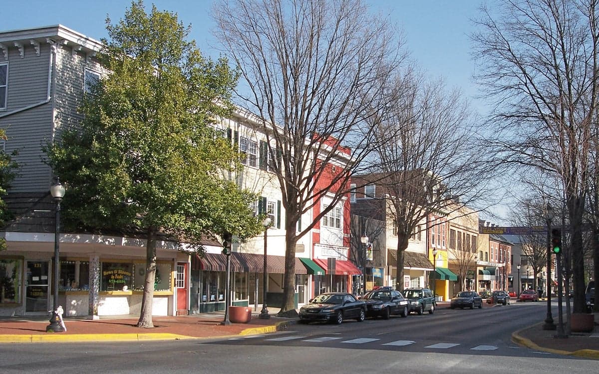
Photo: Wikipedia
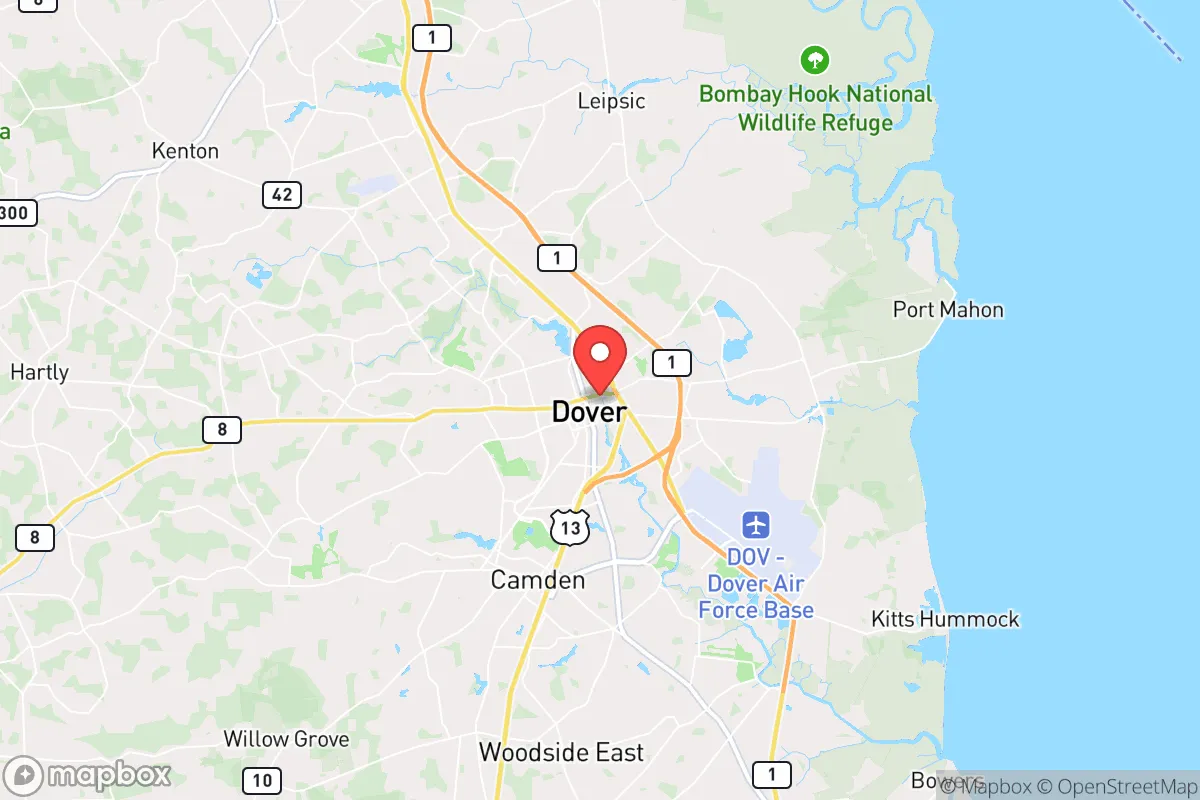
Strategic Assessment of Dover, DE
Multiple tactical vulnerabilities. Population density, target proximity, or disaster risk are likely compounding. A retreat property and exit planning is required.
What does the Strategic Assessment tell us?
Our Strategic Assessment grades tactical survivability of an area. Major population centers, military targets, fallout zones, natural disasters, and border exposure all drive risk — lower exposure means a more defensible position in a crisis.
This is heavily inspired by Joel Skousen's Strategic Relocation book. Highly recommended you checkout the book ($)What does this tell us?
Our Strategic Assessment grades tactical survivability of an area. Major population centers, military targets, fallout zones, natural disasters, and border exposure all drive risk — lower exposure means a more defensible position in a crisis.
This is heavily inspired by Joel Skousen's Strategic Relocation book. Highly recommended you checkout the book ($)Strategic Pillars

Key Distances
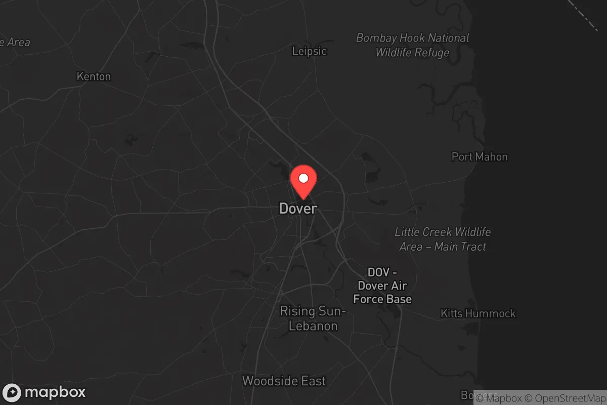
Regional Safe Places
Below is our recommended "safe zones" in Delaware and the surrounding area based on our strategic heuristics. For most people, it's unrealistic to live in a “safe zone” full-time due to work, family or other personal reasons. They tend to be more rural. However, many of these areas are perfect for second homes and retreat properties that double as a vacation home or even a short-term rental.


Important Note: For informational purposes only. This does not mean nothing bad ever happens in the green zones. Please use common sense. This is based on public data and modeled with AI. We tried to take a conservative approach but mistakes happen. We update this regularly as new information becomes available.
Solar Generator Recommendations
Backup power matters more here than in safer locations. We've picked three solar generators across budgets and capacity tiers — start with the budget unit if you only need a few essentials, or step up if you want to run a fridge and HVAC for days at a time.

Jackery Portable Power Station Explorer 300
Budget OptionPower on the Go: Weighing only 11 lbs, it's convenient to set up and store with book-sized foldable solar panels

BLUETTI Portable Power Station AC180
Designed for both indoor and outdoor scenarios, AC180 is highly capable as it has a robost capacity and continuous output power.

EF ECOFLOW DELTA Pro Ultra Power Station
Upgraded PickEcoFlow DELTA Pro Ultra is a whole-home energy system designed to grow with your family. Integrated with the Smart Home Panel 2, it scales to meet your evolving energy needs — keeping your home powered, intelligent, and secure through every stage of life.
We earn a commission, at no additional cost to you.
Strategic Assessment Analysis
Dover, Delaware, presents a mixed strategic picture for the conservative prepper or survivalist. Its primary advantages are its position as a state capital—which tends to draw federal and state resources during crises—and its location on the Delmarva Peninsula, a geographic dead-end that naturally limits the flow of people and goods during a major disruption. However, the city’s proximity to the I-95 corridor, the Chesapeake Bay Bridge, and the Port of Wilmington introduces significant vulnerabilities that a serious relocator must weigh. The area’s flat, coastal terrain offers limited natural defensibility, and its population density—roughly 40,000 within city limits and over 180,000 in Kent County—creates a target-rich environment for civil unrest or resource competition in a collapse scenario.
Geographic position and natural advantages for long-term survival
Dover sits about 40 miles south of Wilmington and roughly 85 miles from Philadelphia, placing it within the outer ring of the Northeast megalopolis. This distance is a double-edged sword: close enough to feel ripple effects from urban unrest, but far enough that a determined prepper can establish a buffer if they choose a rural property outside the city core. The Delmarva Peninsula is a natural choke point—bounded by the Delaware Bay to the east and the Chesapeake Bay to the west—meaning that in a major crisis, movement into or out of the area is funneled through a handful of bridges and highways. The Chesapeake Bay Bridge (US 50/301) and the Delaware Memorial Bridge (I-295) are the primary egress points, and both are vulnerable to closure or congestion. For a relocator, this isolation can be an asset if you’re already inside the peninsula, but a liability if you need to bug out. The area’s flat, agricultural landscape offers decent growing conditions for food production, with Kent County being one of Delaware’s top farming regions. The water table is generally high, and private wells are common in rural parts of the county, which is a plus for off-grid water security. However, the lack of significant elevation or forest cover means you’ll have limited natural concealment and no high-ground defensive positions—something to consider if you’re planning a retreat that relies on terrain.
Risks, exposures, and proximity to fallout-relevant landmarks
Dover’s biggest strategic weakness is its proximity to high-value, high-risk infrastructure. The Dover Air Force Base (DAFB), located just southeast of the city, is a major military installation and the primary mortuary for U.S. casualties overseas. In a mass casualty event or war scenario, DAFB becomes a logistical hub that could attract enemy targeting, civil disruption, or a surge of federal personnel. The base also houses the 436th Airlift Wing and the 512th Airlift Wing, meaning heavy air traffic and a potential evacuation or mobilization point. For a prepper, living within a 10-mile radius of a major military base is a risk—it’s a likely target for any adversary and a magnet for government activity during a crisis. Additionally, the Port of Wilmington, about 45 minutes north, handles significant container traffic and is a key node for food and fuel imports. A disruption there would ripple down to Dover. The city itself is home to the state capitol complex, which could become a flashpoint for political unrest or a target for coordinated attacks. The flat, open terrain also makes the area susceptible to storm surge from hurricanes or nor’easters—Delaware’s coast has seen repeated flooding events, and while Dover is inland, heavy rain can overwhelm the local drainage systems. For a relocator concerned with fallout, the lack of natural shielding (hills, forests, caves) means you’d need to invest in a reinforced basement or a purpose-built shelter to achieve meaningful protection from radiation or airborne contaminants.
Practical resilience for a relocator: food, water, energy, and defensibility
For a single individual or family looking to establish a resilient homestead, Dover offers some practical advantages but requires deliberate planning. The agricultural base in Kent County means local food production is viable—there are numerous farms, farmers’ markets, and a strong Amish presence in nearby areas like Harrington and Felton. You can source fresh produce, eggs, and meat without relying on the national supply chain. Water is relatively accessible; the water table is shallow (typically 10-30 feet deep), so drilling a private well is feasible and affordable compared to rocky regions. However, the water quality can vary due to agricultural runoff and saltwater intrusion near the coast, so testing and filtration are non-negotiable. Energy resilience is a mixed bag: the grid is aging and prone to outages during storms, but solar potential is decent (Delaware averages about 4.5 peak sun hours per day), and many rural properties have space for ground-mounted panels. Natural gas is available in the city, but propane tanks are common in the countryside. Defensibility is the weak link. The flat, open landscape means your property is visible from a distance, and the lack of natural barriers makes it hard to create a secure perimeter. A rural property with a long driveway, fencing, and a good line of sight is your best bet, but you’ll need to invest in security measures—motion lights, cameras, and possibly a generator-powered electric fence. The local population is generally conservative and self-reliant, with a strong hunting and fishing culture, which can be a social asset for building a mutual-aid network. But the proximity to Wilmington and Philadelphia means that in a collapse scenario, you could see an influx of refugees moving south along Route 13 or Route 1, making rural isolation a priority.
The overall strategic picture for Dover is one of cautious opportunity. It’s not a hardened redoubt like the Appalachian foothills or the Rocky Mountain interior, but it offers a workable base for a prepper who values access to government resources and agricultural land over rugged defensibility. The key is to avoid the city proper and the immediate vicinity of the Air Force base, and instead target a rural property in the northern or western part of Kent County, where you can establish a well, solar array, and food production system. The flat terrain and coastal risks are real drawbacks, but they can be mitigated with proper planning—reinforced shelter, water storage, and a bug-out route that avoids the major bridges. For a conservative relocator who wants to stay within striking distance of the Northeast’s political and economic centers while maintaining a low profile, Dover is a viable option, but only if you’re willing to treat it as a base camp rather than a fortress. The state’s low taxes and business-friendly climate are a bonus for those still working remotely, but the long-term survival calculus depends on your ability to secure a defensible, self-sufficient property before the next crisis hits.
* Values derived from national, state, county, city and local statistics and may differ in a specific area. Last updated: 2026-04-29T21:39:41.000Z
Narrative content on this page is AI-generated and may contain mistakes. Verify any details that matter before acting on them.
ReloMaps may earn a commission from affiliate links at no extra cost to you.