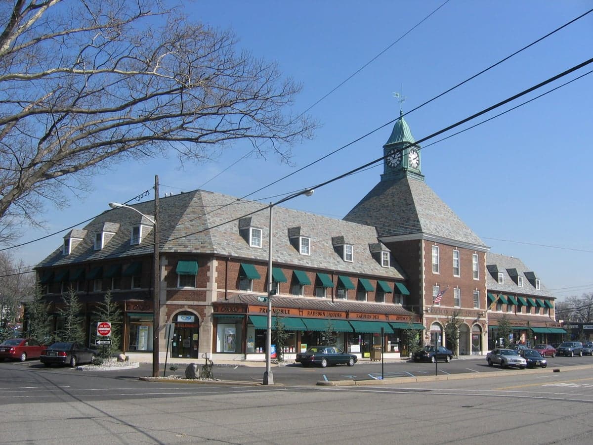
Photo: Wikipedia
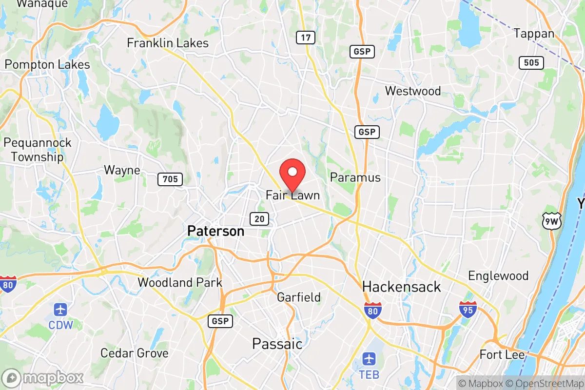
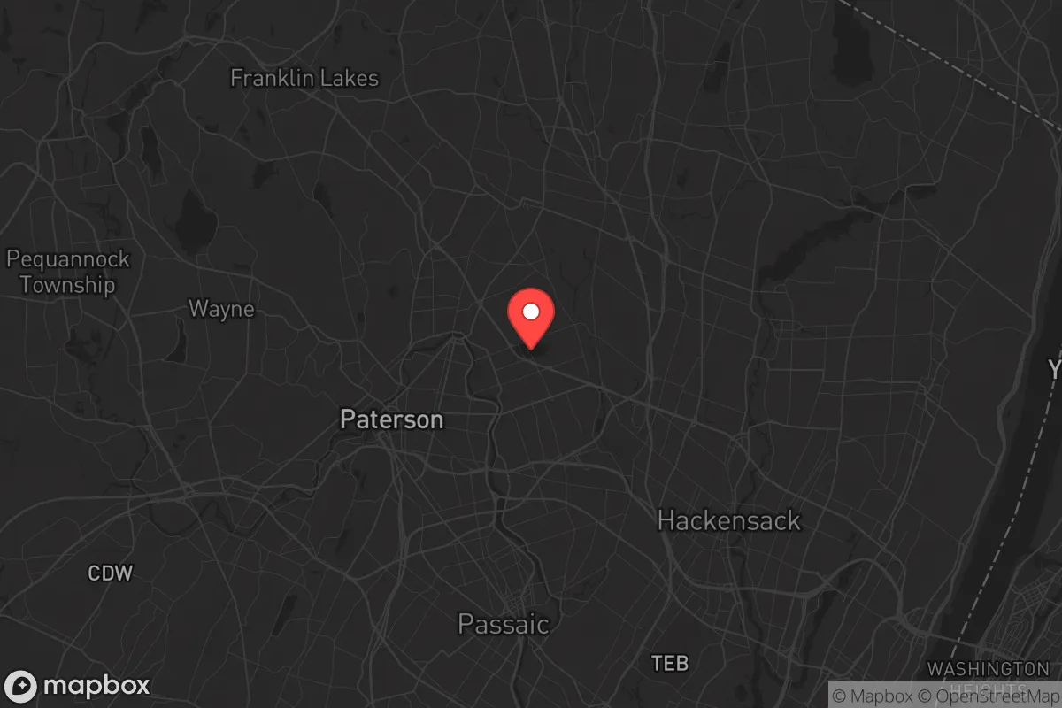
Strategic Assessment of Fair Lawn, NJ
High tactical risk. This location is likely close to major population centers, strategic targets, or sits in a high-disaster corridor. A retreat property and careful exit planning is required.
What does the Strategic Assessment tell us?
Our Strategic Assessment grades tactical survivability of an area. Major population centers, military targets, fallout zones, natural disasters, and border exposure all drive risk — lower exposure means a more defensible position in a crisis.
This is heavily inspired by Joel Skousen's Strategic Relocation book. Highly recommended you checkout the book ($)What does this tell us?
Our Strategic Assessment grades tactical survivability of an area. Major population centers, military targets, fallout zones, natural disasters, and border exposure all drive risk — lower exposure means a more defensible position in a crisis.
This is heavily inspired by Joel Skousen's Strategic Relocation book. Highly recommended you checkout the book ($)Strategic Pillars

Key Distances
Regional Safe Places
Below is our recommended "safe zones" in New Jersey and the surrounding area based on our strategic heuristics. For most people, it's unrealistic to live in a “safe zone” full-time due to work, family or other personal reasons. They tend to be more rural. However, many of these areas are perfect for second homes and retreat properties that double as a vacation home or even a short-term rental.


Important Note: For informational purposes only. This does not mean nothing bad ever happens in the green zones. Please use common sense. This is based on public data and modeled with AI. We tried to take a conservative approach but mistakes happen. We update this regularly as new information becomes available.
Solar Generator Recommendations
Backup power matters more here than in safer locations. We've picked three solar generators across budgets and capacity tiers — start with the budget unit if you only need a few essentials, or step up if you want to run a fridge and HVAC for days at a time.

Jackery Portable Power Station Explorer 300
Budget OptionPower on the Go: Weighing only 11 lbs, it's convenient to set up and store with book-sized foldable solar panels

BLUETTI Portable Power Station AC180
Designed for both indoor and outdoor scenarios, AC180 is highly capable as it has a robost capacity and continuous output power.

EF ECOFLOW DELTA Pro Ultra Power Station
Upgraded PickEcoFlow DELTA Pro Ultra is a whole-home energy system designed to grow with your family. Integrated with the Smart Home Panel 2, it scales to meet your evolving energy needs — keeping your home powered, intelligent, and secure through every stage of life.
We earn a commission, at no additional cost to you.
Strategic Assessment Analysis
Fair Lawn, New Jersey, presents a complex strategic picture for the conservative prepper or survivalist. While its location in Bergen County offers undeniable economic resilience and access to resources, its proximity to New York City and major infrastructure hubs introduces significant vulnerabilities that must be weighed carefully. For a relocator prioritizing self-sufficiency and security, Fair Lawn is a study in trade-offs: strong local governance and community cohesion versus the inherent risks of being within the blast radius of a major metropolitan target.
Geographic position and natural advantages for a prepper
Fair Lawn sits in a relatively defensible position within the heavily populated Northeast corridor. The borough is bordered by the Saddle River to the east and the Passaic River to the south, providing natural water barriers that could slow movement or serve as defensive perimeters in a grid-down scenario. The area’s topography is gently rolling, with elevations ranging from about 50 to 150 feet above sea level, which offers some natural drainage and reduces flood risk compared to low-lying communities directly on the Passaic floodplain. The local soil is primarily glacial till and loam, which, while not ideal for large-scale agriculture, can support vegetable gardens and small orchards with proper amendment. The region’s temperate climate—with four distinct seasons, average annual rainfall of about 45 inches, and a growing season of roughly 180 days—means a determined prepper could produce a meaningful portion of their own food, though the short winter days and occasional nor’easters require greenhouse or cold-frame strategies. The proximity to the Ramapo Mountains, about 15 miles northwest, offers a potential bug-out location with deeper forests, fewer people, and more rugged terrain for those willing to make the drive or hike.
Risks, exposures, and proximity to fallout-relevant landmarks
This is where the analysis gets sobering. Fair Lawn is roughly 12 miles from Midtown Manhattan as the crow flies, placing it well within the catastrophic blast and thermal radiation zone of a nuclear detonation at ground zero. Even a smaller yield device would produce fallout that could reach the borough within hours, depending on wind patterns. The borough is also within 5 miles of the Meadowlands Sports Complex, a potential mass-casualty target for symbolic or crowd-density reasons, and less than 10 miles from Newark Liberty International Airport, a high-value transportation node. The New Jersey Turnpike and Route 4, both major evacuation and supply corridors, run near or through the area, meaning any major event would see these roads clogged within minutes. The region’s dense population—Bergen County has over 950,000 residents—means that in a crisis, Fair Lawn would face the same challenges as any suburban community: competition for fuel, food, and medical supplies, plus the risk of civil unrest from displaced urban populations. The borough’s own infrastructure, including the water treatment plant and electrical substations, is vulnerable to both cyber and physical attack, given its integration into the larger Northeast grid. For the survivalist, the key takeaway is that Fair Lawn is not a retreat; it is a forward operating base that requires constant situational awareness and a plan to relocate if the threat level spikes.
Practical resilience for a relocator: food, water, energy, and defensibility
For those who choose to stay, practical resilience is achievable but requires deliberate investment. The borough’s water supply comes from the Passaic Valley Water Commission, which draws from the Passaic River and the Wanaque Reservoir. In a prolonged outage, the Passaic River is a non-potable water source that would require filtration and boiling, but it is a reliable surface water option. The local water table is high enough that shallow wells could be dug on larger properties, though most suburban lots are too small for this. For food, Fair Lawn has a handful of community gardens and a farmers’ market that operates from June to November, but the real advantage is the density of grocery stores and restaurants—there are at least six major supermarkets within a 2-mile radius. In a short-term crisis, this means you can stock up quickly, but in a long-term collapse, these stores will be stripped within hours. The borough’s housing stock is predominantly single-family homes with basements, which offer good shelter from fallout and severe weather, but most homes lack the defensible perimeter of a rural property. Fences are common, but they are typically decorative or privacy fences, not security barriers. The local police department is well-funded and responsive—Bergen County has one of the highest per-capita police spending rates in the state—but in a widespread disaster, they will be overwhelmed. The best defensive strategy here is low profile and community integration: blend in, build relationships with neighbors, and avoid drawing attention to your supplies. Solar panels are permitted but must comply with borough zoning, and backup generators are common in the area due to frequent nor’easter power outages. For energy independence, a dual-fuel generator with a 100-gallon propane tank is a realistic baseline, and a small solar array with battery storage can keep critical loads running indefinitely.
The overall strategic picture for Fair Lawn is one of calculated risk. It is not a survivalist’s paradise—it is a suburban compromise that offers economic opportunity, decent schools, and a functional local government, but at the cost of proximity to high-value targets and dense populations. For the conservative relocator who values community stability and wants to be within striking distance of urban resources while maintaining a prepared mindset, Fair Lawn works if you treat it as a base camp, not a fortress. The key is to have a layered plan: a well-stocked home with redundant water and power, a network of trusted neighbors, and a pre-planned bug-out route to the Ramapo Mountains or further into Pennsylvania. If you are looking for a place to ride out the next decade with a low probability of direct conflict but a high probability of localized disruptions, Fair Lawn is a solid, if imperfect, choice. Just keep your go-bag packed and your eyes on the horizon.
* Values derived from national, state, county, city and local statistics and may differ in a specific area. Last updated: 2026-04-29T19:21:50.000Z
Narrative content on this page is AI-generated and may contain mistakes. Verify any details that matter before acting on them.
ReloMaps may earn a commission from affiliate links at no extra cost to you.