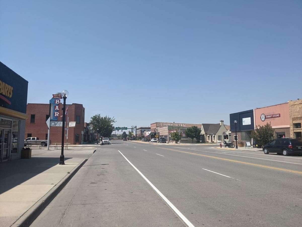
Photo: Wikipedia
Strategic Assessment of Greybull, WY
Strong survivability profile. Good buffer from population centers, with manageable environmental and tactical risks.
What does the Strategic Assessment tell us?
Our Strategic Assessment grades tactical survivability of an area. Major population centers, military targets, fallout zones, natural disasters, and border exposure all drive risk — lower exposure means a more defensible position in a crisis.
This is heavily inspired by Joel Skousen's Strategic Relocation book. Highly recommended you checkout the book ($)What does this tell us?
Our Strategic Assessment grades tactical survivability of an area. Major population centers, military targets, fallout zones, natural disasters, and border exposure all drive risk — lower exposure means a more defensible position in a crisis.
This is heavily inspired by Joel Skousen's Strategic Relocation book. Highly recommended you checkout the book ($)Strategic Pillars

Key Distances
Regional Safe Places
Below is our recommended "safe zones" in Wyoming and the surrounding area based on our strategic heuristics. For most people, it's unrealistic to live in a “safe zone” full-time due to work, family or other personal reasons. They tend to be more rural. However, many of these areas are perfect for second homes and retreat properties that double as a vacation home or even a short-term rental.
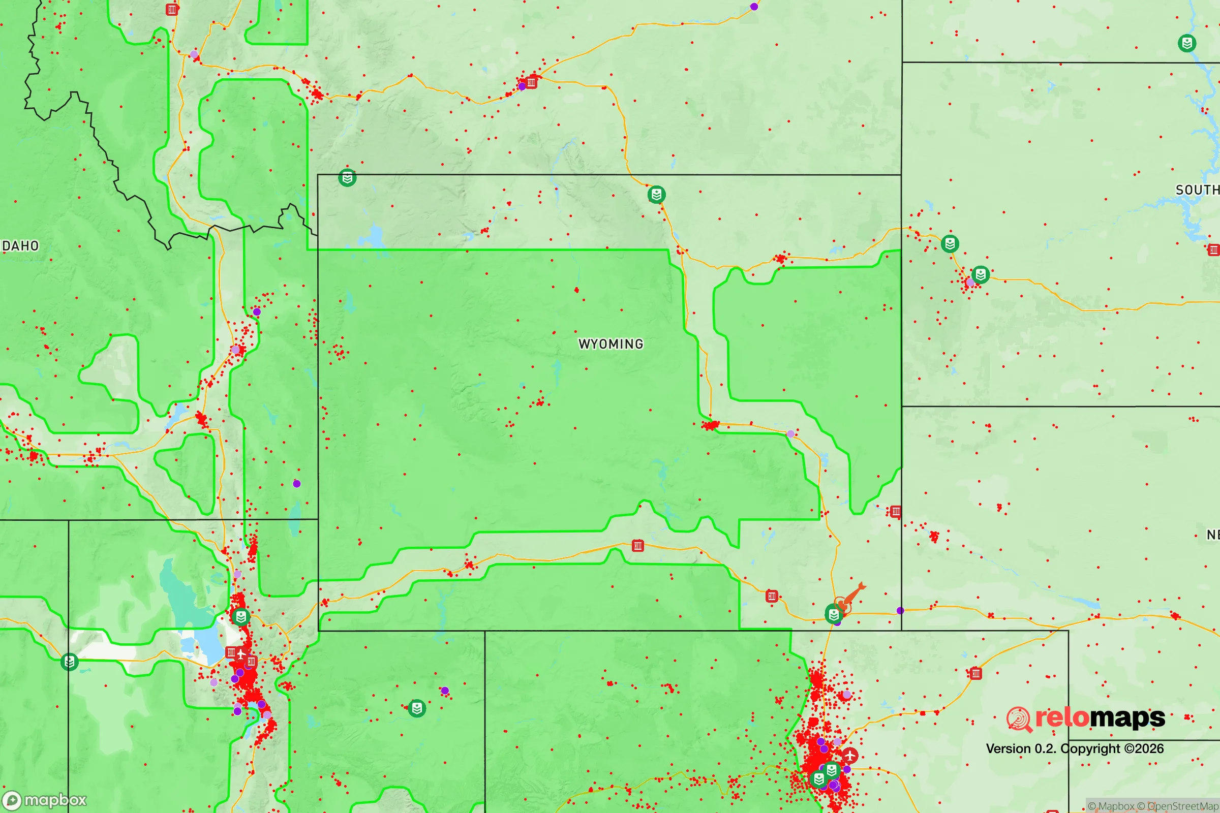
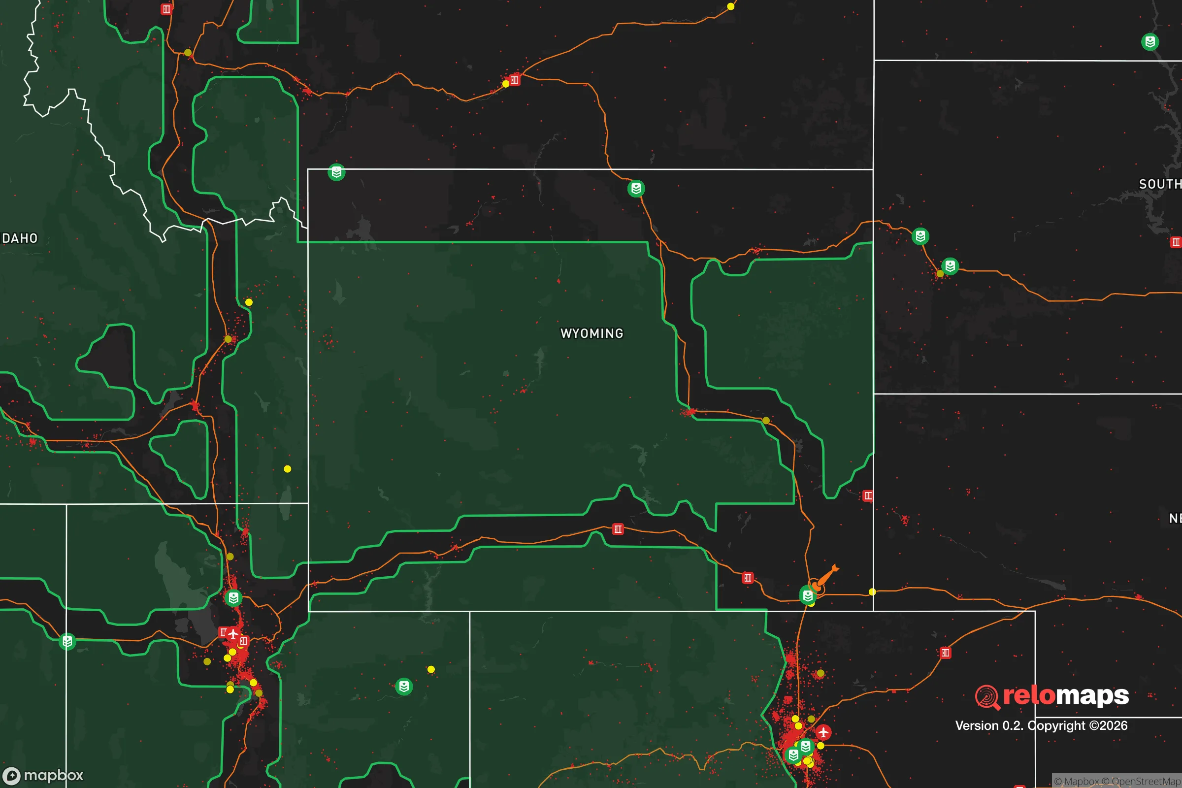
Important Note: For informational purposes only. This does not mean nothing bad ever happens in the green zones. Please use common sense. This is based on public data and modeled with AI. We tried to take a conservative approach but mistakes happen. We update this regularly as new information becomes available.
Solar Generator Recommendations
Backup power matters more here than in safer locations. We've picked three solar generators across budgets and capacity tiers — start with the budget unit if you only need a few essentials, or step up if you want to run a fridge and HVAC for days at a time.

Jackery Portable Power Station Explorer 300
Budget OptionPower on the Go: Weighing only 11 lbs, it's convenient to set up and store with book-sized foldable solar panels

BLUETTI Portable Power Station AC180
Designed for both indoor and outdoor scenarios, AC180 is highly capable as it has a robost capacity and continuous output power.

EF ECOFLOW DELTA Pro Ultra Power Station
Upgraded PickEcoFlow DELTA Pro Ultra is a whole-home energy system designed to grow with your family. Integrated with the Smart Home Panel 2, it scales to meet your evolving energy needs — keeping your home powered, intelligent, and secure through every stage of life.
We earn a commission, at no additional cost to you.
Strategic Assessment Analysis
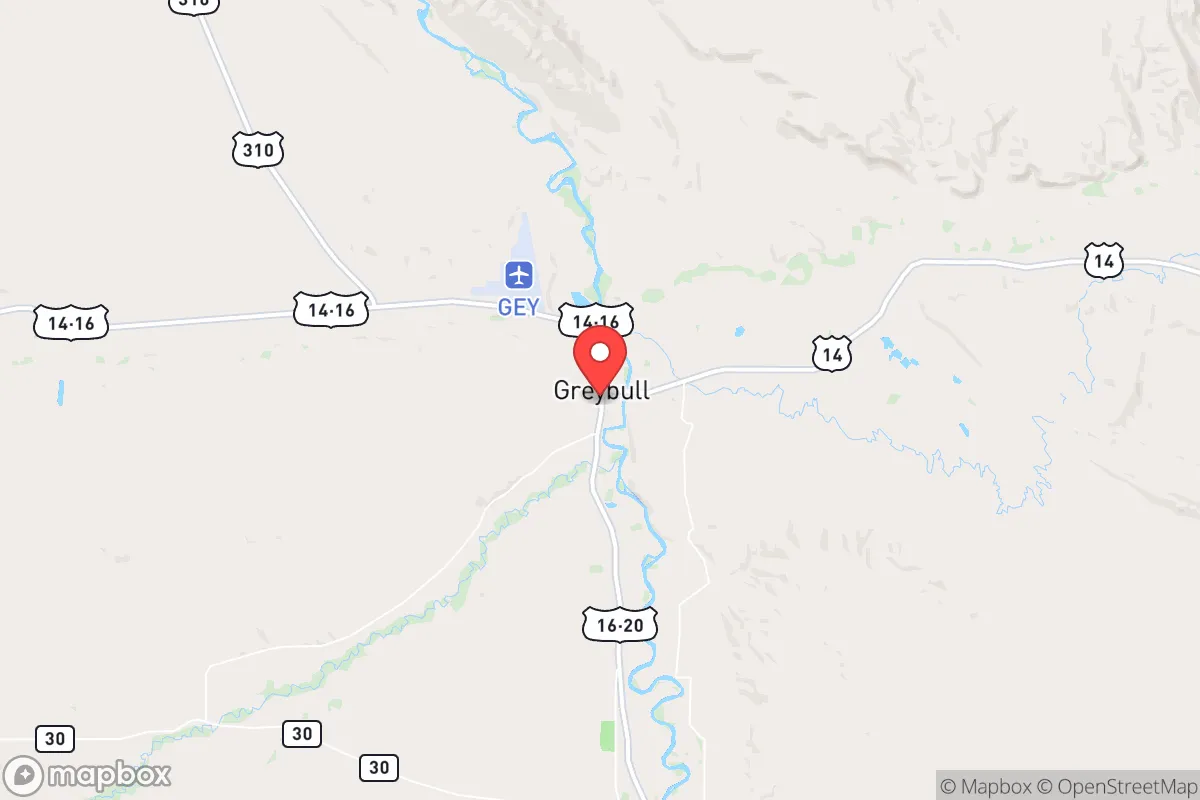
Greybull, Wyoming, sits in the Bighorn Basin as a low-profile, hard-to-reach location that offers genuine strategic depth for those prioritizing resilience over convenience. Its isolation from major population centers—roughly 140 miles from Billings, Montana, and over 200 miles from Cheyenne—means it is far removed from the primary fallout zones of a national-scale crisis, yet it retains enough local infrastructure to support a self-sufficient lifestyle. The town’s position along the Shoshone River and near the Bighorn Mountains provides natural resources and defensible terrain, making it a viable base for a long-term contingency plan.
Geographic position and natural advantages for long-term security
Greybull’s location in the Bighorn Basin is defined by its distance from major highways and rail corridors that would become chokepoints or targets during unrest. The town sits at the junction of US Highway 14 and 16, but these routes are not high-volume interstate arteries; they are two-lane roads that can be monitored and controlled with minimal effort. To the east, the Bighorn Mountains rise to over 13,000 feet, creating a natural barrier that slows movement from the more populated eastern Wyoming corridor. To the west, the Absaroka Range and Yellowstone region offer vast, sparsely populated wilderness. This geography means that any large-scale movement of people or military assets into the area would be funneled through a few predictable passes, giving residents significant advance warning and defensive advantage. The Shoshone River provides a reliable surface water source, and the surrounding rangeland supports grazing and small-scale agriculture. The area’s low population density—Greybull itself has roughly 1,800 residents, with the entire Big Horn County under 12,000—means that competition for resources in a collapse scenario would be far less intense than in suburban or urban settings.
Risks, exposures, and proximity to fallout-relevant landmarks
The primary risk for Greybull is not proximity to a major city but rather its location within a region that contains strategic energy infrastructure. The Bighorn Basin is home to significant oil and natural gas fields, including the Elk Basin and Oregon Basin fields, which have been in production for decades. While these are not nuclear targets in the traditional sense, they could become secondary targets in a conflict involving energy infrastructure disruption. Additionally, the town lies roughly 100 miles from the Yellowstone Caldera—a supervolcano that, in a worst-case eruption, could blanket the area in ash and disrupt air quality, water sources, and agriculture for months. However, the prevailing winds typically carry ash eastward, and the Bighorn Mountains provide some shielding. More immediate risks include severe winter storms that can cut off road access for days, and the potential for flash flooding along the Shoshone River during rapid snowmelt. The nearest military installation of note is the Wyoming Air National Guard base in Cheyenne, over 200 miles away, which is a low-probability target but not a zero-risk factor. For a relocator, the key exposure is the town’s dependence on a single major employer—the local oil and gas industry—which could collapse during a prolonged economic disruption, reducing local services and supply chains.
Practical resilience for a relocator: food, water, energy, and defensibility
For those serious about self-sufficiency, Greybull offers a workable baseline. The Shoshone River runs through town, providing a year-round water source that can be filtered or boiled; the local water table is also accessible via shallow wells in many areas. The growing season is short—roughly 100 to 120 frost-free days—but the basin’s soil is fertile enough for cold-hardy crops like potatoes, carrots, and kale, and the surrounding BLM land allows for grazing of goats or sheep. Hunting is a realistic protein source: mule deer, pronghorn, and elk are abundant in the Bighorn Mountains, and the area has a strong tradition of game processing. Firewood is plentiful from the national forest, and the region’s wind resource makes small-scale wind turbines a viable supplement to solar panels, which perform well given the area’s 300+ days of sunshine per year. Defensively, Greybull’s layout is compact, with most homes within walking distance of the river and the main commercial strip. The town has a single police department with a handful of officers, so in a crisis, security would fall largely to residents. The surrounding terrain—open sagebrush flats broken by arroyos and buttes—offers good fields of fire but limited cover, meaning a determined group could control access points with relatively few people. The nearest hospital is in Basin, 15 miles away, which is a vulnerability for medical emergencies but also means the area is not a magnet for refugees seeking advanced care.
The overall strategic picture for Greybull is one of trade-offs. It is not a prepper’s paradise—the economy is narrow, the winters are harsh, and the isolation can be a liability if you need to resupply quickly. But for someone who values distance from the chaos of coastal cities, who is willing to invest in off-grid infrastructure, and who understands that resilience means accepting a slower pace of life, Greybull offers a defensible, resource-rich location that is unlikely to be on anyone’s target list. The key is to arrive prepared: stockpile medical supplies, learn basic veterinary skills for livestock, and build relationships with local ranchers and hunters before a crisis hits. In a world where the grid could go down and the cities could burn, Greybull is the kind of place where you can dig in and wait it out—provided you brought your own shovel.
* Values derived from national, state, county, city and local statistics and may differ in a specific area. Last updated: 2026-04-21T11:25:07.000Z
Narrative content on this page is AI-generated and may contain mistakes. Verify any details that matter before acting on them.
ReloMaps may earn a commission from affiliate links at no extra cost to you.