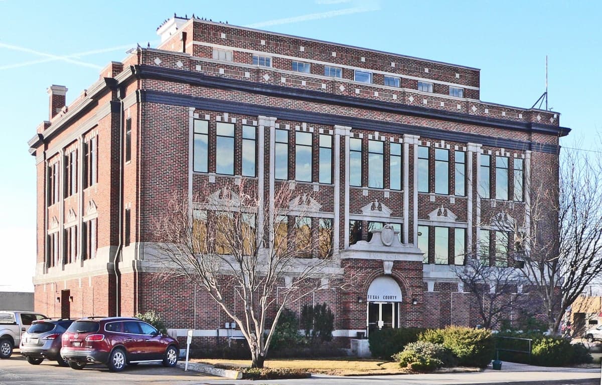
Photo: Wikipedia
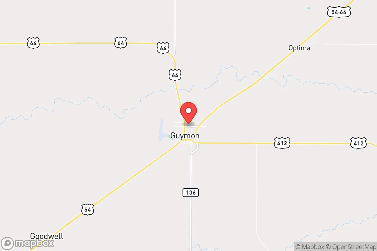
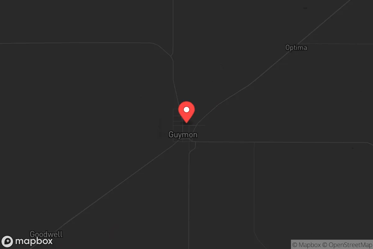
Strategic Assessment of Guymon, OK
Workable tactical position. Some exposure to population density or targets, but generally defensible in a crisis.
What does the Strategic Assessment tell us?
Our Strategic Assessment grades tactical survivability of an area. Major population centers, military targets, fallout zones, natural disasters, and border exposure all drive risk — lower exposure means a more defensible position in a crisis.
This is heavily inspired by Joel Skousen's Strategic Relocation book. Highly recommended you checkout the book ($)What does this tell us?
Our Strategic Assessment grades tactical survivability of an area. Major population centers, military targets, fallout zones, natural disasters, and border exposure all drive risk — lower exposure means a more defensible position in a crisis.
This is heavily inspired by Joel Skousen's Strategic Relocation book. Highly recommended you checkout the book ($)Strategic Pillars

Key Distances
Regional Safe Places
Below is our recommended "safe zones" in Oklahoma and the surrounding area based on our strategic heuristics. For most people, it's unrealistic to live in a “safe zone” full-time due to work, family or other personal reasons. They tend to be more rural. However, many of these areas are perfect for second homes and retreat properties that double as a vacation home or even a short-term rental.
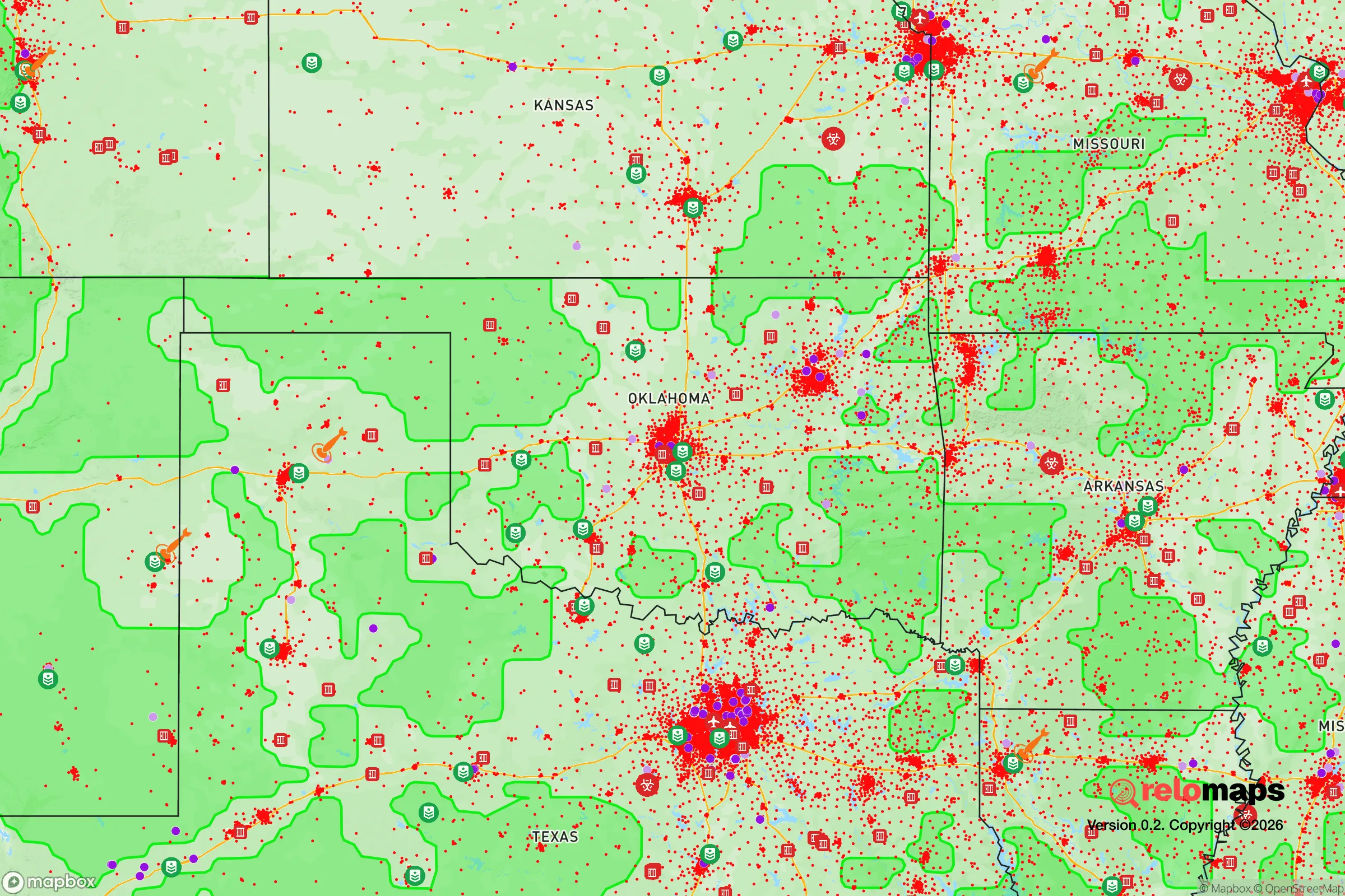
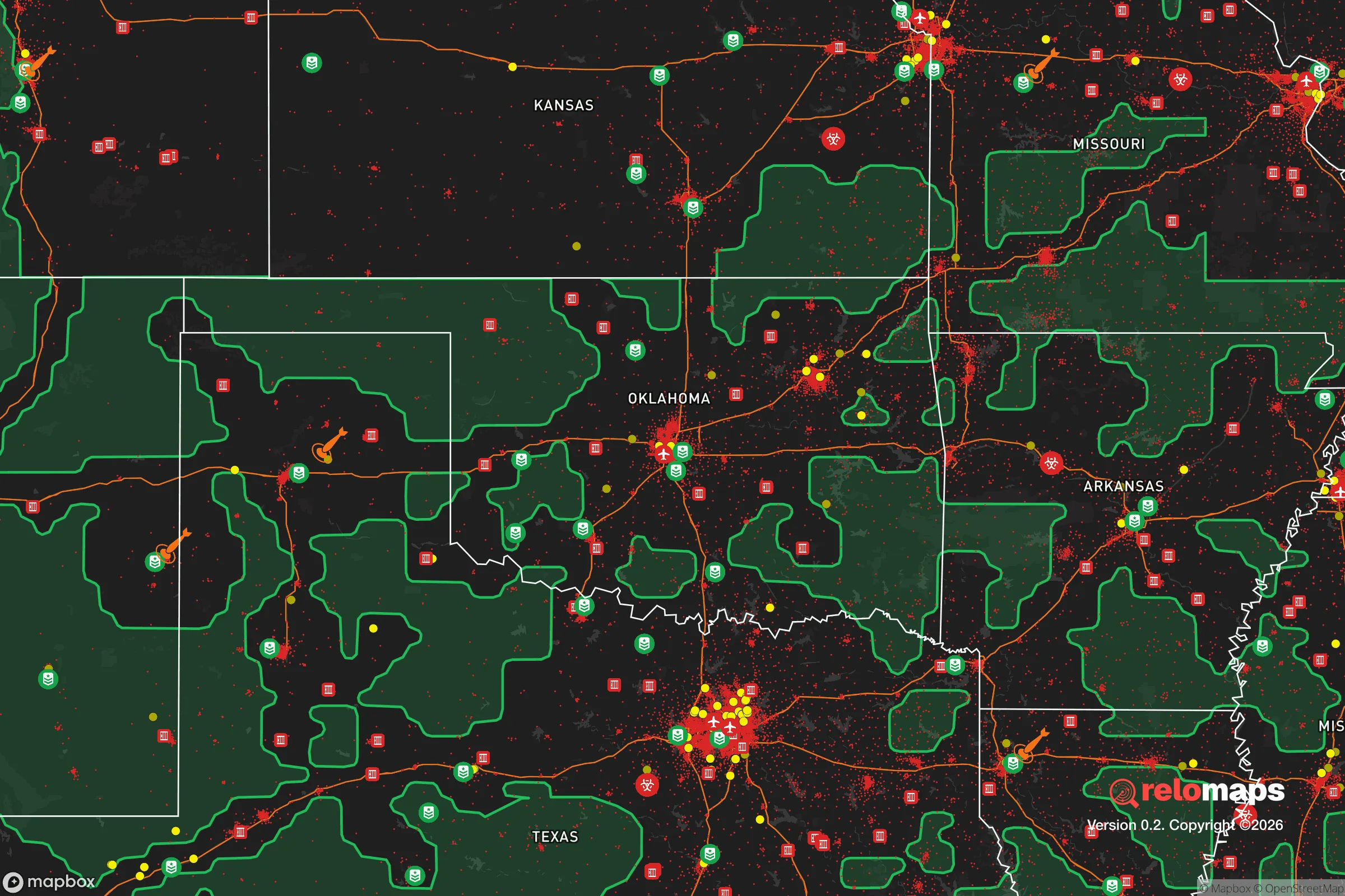
Important Note: For informational purposes only. This does not mean nothing bad ever happens in the green zones. Please use common sense. This is based on public data and modeled with AI. We tried to take a conservative approach but mistakes happen. We update this regularly as new information becomes available.
Solar Generator Recommendations
Backup power matters more here than in safer locations. We've picked three solar generators across budgets and capacity tiers — start with the budget unit if you only need a few essentials, or step up if you want to run a fridge and HVAC for days at a time.

Jackery Portable Power Station Explorer 300
Budget OptionPower on the Go: Weighing only 11 lbs, it's convenient to set up and store with book-sized foldable solar panels

BLUETTI Portable Power Station AC180
Designed for both indoor and outdoor scenarios, AC180 is highly capable as it has a robost capacity and continuous output power.

EF ECOFLOW DELTA Pro Ultra Power Station
Upgraded PickEcoFlow DELTA Pro Ultra is a whole-home energy system designed to grow with your family. Integrated with the Smart Home Panel 2, it scales to meet your evolving energy needs — keeping your home powered, intelligent, and secure through every stage of life.
We earn a commission, at no additional cost to you.
Strategic Assessment Analysis
Guymon, Oklahoma, sits in the far western panhandle, a position that offers genuine strategic depth for those prioritizing resilience and distance from the chaos of major population centers. Its location, roughly 100 miles from Amarillo and 250 from Oklahoma City, places it well outside the immediate blast and fallout zones of any major target, while its agricultural economy and low population density provide a foundation for long-term self-sufficiency. For a relocator thinking in terms of decades, not just years, Guymon represents a quiet, defensible corner of the country that most of the prepper community overlooks.
Geographic position and natural advantages for long-term security
Guymon’s primary strategic asset is its isolation. The Texas Panhandle and Oklahoma Panhandle form a sparsely populated corridor that is far from the interstate-heavy, target-rich environments of the coasts and the Midwest. The nearest city of any real size is Amarillo, which itself is not a primary nuclear target—no major military bases, no strategic command centers, no major ports. That means a detonation in Amarillo would be a low-probability event, and even if it happened, Guymon’s 100-mile buffer provides a significant safety margin for fallout decay. The prevailing westerly winds in this region also mean that any fallout from a strike on the West Coast or the Rocky Mountain Front would be carried eastward, not directly over Guymon. The area sits on the High Plains, with flat, open terrain that offers excellent visibility—a defensive advantage for anyone needing to monitor approach routes. The Ogallala Aquifer lies beneath much of this region, providing a deep, reliable groundwater source that is less vulnerable to surface contamination than rivers or reservoirs. For a prepper, that means a well-drilling plan is not just feasible but practical, with water tables typically 100-300 feet down in this part of the panhandle.
Risks, exposures, and proximity to fallout-relevant landmarks
No location is risk-free, and Guymon has its own set of exposures that a serious relocator must weigh. The most obvious is the proximity to the Pantex nuclear weapons assembly plant near Amarillo. Pantex is the nation’s primary nuclear warhead assembly and disassembly facility. While it is a hardened, high-security site, it is also a potential target for a sophisticated adversary. A ground-level detonation at Pantex would produce significant local fallout, but the prevailing winds would carry the heaviest contamination east-northeast, toward the Oklahoma City area, not directly toward Guymon. Still, a relocator should understand that Guymon lies roughly 100 miles northeast of Pantex—close enough that a worst-case scenario involving a high-yield airburst or a secondary explosion could produce measurable fallout in the panhandle. The risk is low but not zero. Another exposure is the lack of natural barriers. The open plains offer no mountains, forests, or rivers to slow a determined group or provide natural cover. Defensibility here relies on distance, visibility, and community cohesion, not terrain. There are also no major military bases or hardened bunkers in the immediate area, which is a double-edged sword: it reduces target value but also means no nearby military support in a crisis. Finally, Guymon is in Tornado Alley. Severe weather is a real, recurring hazard. A direct hit from an EF4 or EF5 tornado would level much of the town. Preppers here need a storm shelter as much as a food cache.
Practical resilience for a relocator: food, water, energy, and defensibility
For a single individual or a family looking to build a resilient life, Guymon offers several concrete advantages that align with a prepper mindset. Food production is the strongest pillar. Texas County, where Guymon sits, is one of the top agricultural counties in Oklahoma, with massive cattle feedlots, corn, wheat, and sorghum operations. A relocator with a few acres can grow a substantial portion of their own food, and the local agricultural supply chain means seeds, tools, and livestock are readily available. The local economy is also tied to the Seaboard Foods pork processing plant, which employs over 2,000 people. That plant is a critical infrastructure node—if it stays operational during a crisis, it provides a local source of protein. If it shuts down, the town’s economy takes a hit, but the surrounding farmland still produces. Water is the second pillar. The Ogallala Aquifer is the lifeblood of the region. While it is being depleted for irrigation at an unsustainable rate, a private well drilled to 200-300 feet will provide clean water for a household for decades. Surface water is scarce—the Beaver River is intermittent—so a well is non-negotiable. Energy is the third pillar. The panhandle has significant wind energy infrastructure, and natural gas is plentiful from the Anadarko Basin. A relocator with solar panels and a backup propane or natural gas generator can achieve near-total energy independence. The local power grid is not as robust as in urban areas, but it is also less likely to be a target. Defensibility is the fourth pillar. Guymon’s small population (around 12,000) and rural character mean that most people know each other. In a crisis, a tight-knit community is far more resilient than an anonymous suburb. The town has a local police force and a county sheriff’s office, but in a true SHTF scenario, residents would need to rely on themselves and their neighbors. The flat terrain makes it easy to spot approaching threats from miles away, and the lack of major highways reduces the chance of large refugee flows passing through. The nearest interstate, I-40, is 70 miles south. That distance is a buffer against the kind of mass movement that would overwhelm a smaller town.
The overall strategic picture for Guymon is one of quiet viability for the long-haul prepper. It is not a glamorous location, and it will not appeal to those seeking a mountain retreat or a coastal hideaway. But for someone who values distance from targets, access to water and food, and a community that still operates on a handshake, it checks the right boxes. The risks—Pantex, tornadoes, and the open terrain—are real but manageable with proper planning. The town’s agricultural base and low profile make it a place where a family could ride out a decade of instability without drawing attention. For the conservative-minded relocator who sees the country heading toward harder times, Guymon offers a practical, defensible, and overlooked option in the heart of flyover country.
* Values derived from national, state, county, city and local statistics and may differ in a specific area. Last updated: 2026-04-24T05:48:18.000Z
Narrative content on this page is AI-generated and may contain mistakes. Verify any details that matter before acting on them.
ReloMaps may earn a commission from affiliate links at no extra cost to you.