
Photo: Wikipedia
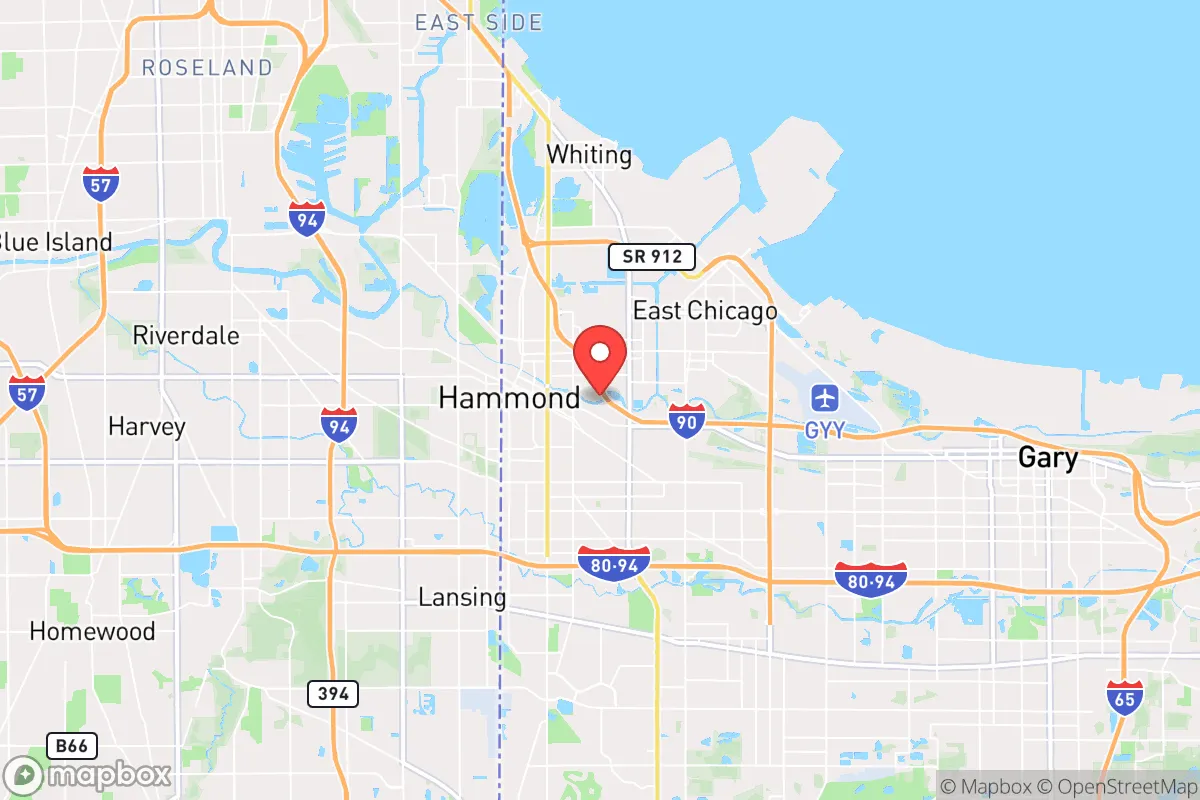
Strategic Assessment of Hammond, IN
Multiple tactical vulnerabilities. Population density, target proximity, or disaster risk are likely compounding. A retreat property and exit planning is required.
What does the Strategic Assessment tell us?
Our Strategic Assessment grades tactical survivability of an area. Major population centers, military targets, fallout zones, natural disasters, and border exposure all drive risk — lower exposure means a more defensible position in a crisis.
This is heavily inspired by Joel Skousen's Strategic Relocation book. Highly recommended you checkout the book ($)What does this tell us?
Our Strategic Assessment grades tactical survivability of an area. Major population centers, military targets, fallout zones, natural disasters, and border exposure all drive risk — lower exposure means a more defensible position in a crisis.
This is heavily inspired by Joel Skousen's Strategic Relocation book. Highly recommended you checkout the book ($)Strategic Pillars

Key Distances
Regional Safe Places
Below is our recommended "safe zones" in Indiana and the surrounding area based on our strategic heuristics. For most people, it's unrealistic to live in a “safe zone” full-time due to work, family or other personal reasons. They tend to be more rural. However, many of these areas are perfect for second homes and retreat properties that double as a vacation home or even a short-term rental.

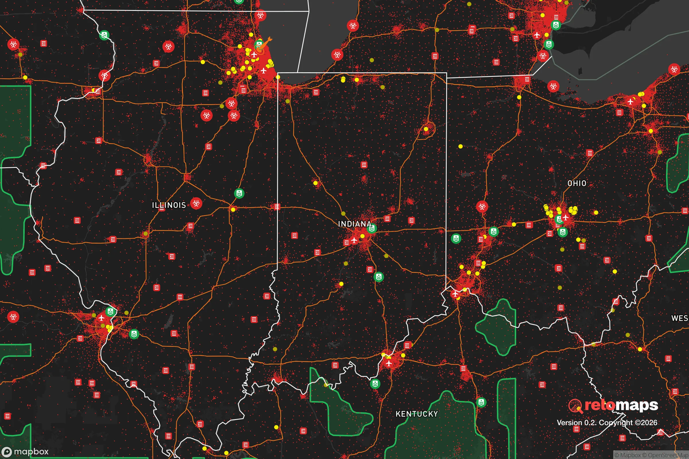
Important Note: For informational purposes only. This does not mean nothing bad ever happens in the green zones. Please use common sense. This is based on public data and modeled with AI. We tried to take a conservative approach but mistakes happen. We update this regularly as new information becomes available.
Solar Generator Recommendations
Backup power matters more here than in safer locations. We've picked three solar generators across budgets and capacity tiers — start with the budget unit if you only need a few essentials, or step up if you want to run a fridge and HVAC for days at a time.

Jackery Portable Power Station Explorer 300
Budget OptionPower on the Go: Weighing only 11 lbs, it's convenient to set up and store with book-sized foldable solar panels

BLUETTI Portable Power Station AC180
Designed for both indoor and outdoor scenarios, AC180 is highly capable as it has a robost capacity and continuous output power.

EF ECOFLOW DELTA Pro Ultra Power Station
Upgraded PickEcoFlow DELTA Pro Ultra is a whole-home energy system designed to grow with your family. Integrated with the Smart Home Panel 2, it scales to meet your evolving energy needs — keeping your home powered, intelligent, and secure through every stage of life.
We earn a commission, at no additional cost to you.
Strategic Assessment Analysis
Hammond, Indiana, sits in a precarious but potentially strategic pocket along the Lake Michigan shoreline, offering a mix of industrial resilience and glaring vulnerabilities for those thinking long-term about relocation. Its location—just 20 miles from downtown Chicago—provides access to massive logistical networks, but that proximity is a double-edged sword in any scenario involving civil unrest, infrastructure collapse, or mass casualty events. For a conservative-leaning prepper or survivalist, Hammond demands a clear-eyed assessment: it’s not a retreat, but it could serve as a forward operating base if you understand the risks and leverage the area’s unique advantages.
Geographic position and natural advantages for long-term stability
Hammond’s geography is defined by its position at the southwestern tip of Lake Michigan, where the Grand Calumet River meets the lake. This gives the city direct access to the largest freshwater source in the Great Lakes region—a critical asset in any prolonged disruption of municipal water systems. The lake itself acts as a natural barrier to the north, limiting approach vectors for potential threats from that direction. The surrounding terrain is flat and industrial, but the nearby Indiana Dunes National Park and the Kankakee River Valley to the south offer some natural cover and alternative water sources. The city’s grid layout, with major arteries like I-80/94 and I-90 cutting through, provides multiple egress routes—though these same highways become choke points during evacuations. For a relocator, the key natural advantage is water: Lake Michigan is a near-limitless supply, and the region’s groundwater is generally reliable, though industrial contamination in parts of the Calumet region requires careful well placement. The area’s flatness also means less risk of landslides or flooding from terrain, though the lake-effect snow can be brutal—averaging 30-40 inches annually—which complicates off-grid heating and travel in winter.
Risks, exposures, and proximity to fallout-relevant landmarks
The most significant risk for Hammond is its proximity to Chicago, a dense urban center that would be a primary target for any coordinated attack, civil unrest, or economic collapse. Hammond lies within the blast and fallout radius of any major strike on Chicago’s downtown core, particularly if a nuclear or radiological device were used. The city itself hosts several high-value industrial targets: the BP Whiting Refinery (just east in Whiting, Indiana) and the numerous chemical plants along the Lake Michigan shoreline. These facilities are potential secondary targets or sources of toxic releases in a disaster. The nearby Gary/Chicago International Airport and the rail yards in East Chicago are also strategic nodes that could attract attention. For a prepper, the fallout risk is real—prevailing winds from the west would carry contamination from Chicago directly over Hammond. The city’s industrial past has left legacy pollution in the soil and water, particularly in the Grand Calumet River, which is a Superfund site. In a grid-down scenario, the concentration of heavy industry means noise, light pollution, and potential for chemical accidents. The population density—roughly 2,500 people per square mile—is high enough that civil unrest could spill over quickly, especially given the economic disparities between Hammond and its wealthier neighbors like Munster or Dyer.
Practical resilience for a relocator: food, water, energy, and defensibility
For a relocator focused on practical resilience, Hammond offers a mixed bag. Water is the strongest asset: Lake Michigan provides an almost unlimited supply, but you’ll need filtration capable of handling industrial runoff and biological contaminants. The city’s municipal water system is vulnerable to disruption, so a well with a hand pump or a rainwater catchment system is advisable. Food security is a challenge—Hammond is a food desert in parts, with limited grocery options and heavy reliance on convenience stores. However, the surrounding farmland in Lake and Porter counties is productive, and the city’s proximity to the Chicago wholesale food markets means you could stockpile if you have the means. Energy is a weak point: the grid is aging and subject to outages, especially during storms. Natural gas is common for heating, but a backup generator or solar setup is essential. The city’s industrial base means diesel and propane are readily available, but you’ll need secure storage. Defensibility is poor in the urban core—dense housing, limited sightlines, and multiple entry points make it hard to secure a property. The better bet is the outskirts, near the Indiana Dunes or in the more rural areas south of US-30, where you can find acreage with better standoff distance. The local gun culture is moderate—Indiana is a shall-issue state with no permit required for carry as of 2022—but Hammond itself has higher crime rates than the national average, so situational awareness is non-negotiable.
The overall strategic picture for Hammond is one of calculated risk. It’s not a bug-out location or a self-sufficient homestead, but it could work as a staging area for someone who needs to stay connected to Chicago’s resources while maintaining an escape route. The lake provides water and a natural barrier, the industrial base offers supplies and barter goods, and the highway network gives you options. But the downsides—proximity to high-value targets, population density, industrial contamination, and the potential for civil unrest spillover—are significant. For a conservative prepper, Hammond is a place to pass through, not to settle permanently. If you’re looking for a base to ride out a short-term crisis while maintaining access to urban logistics, it might work. For long-term survival, you’d want to be farther south, in the more rural parts of Indiana, where the fallout risk is lower and the land is cheaper. Hammond is a chess piece, not a fortress—use it wisely, and have your exit plan ready before you arrive.
* Values derived from national, state, county, city and local statistics and may differ in a specific area. Last updated: 2026-04-22T10:39:14.000Z
Narrative content on this page is AI-generated and may contain mistakes. Verify any details that matter before acting on them.
ReloMaps may earn a commission from affiliate links at no extra cost to you.