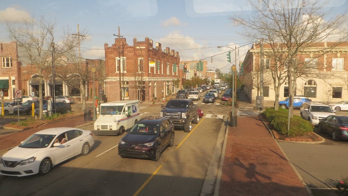
Photo: Wikipedia
Strategic Assessment of Hammond, LA
Meaningful friction. Expect exposure to either population pressure, blast zones, or natural disaster risk. Consider buying a retreat property.
What does the Strategic Assessment tell us?
Our Strategic Assessment grades tactical survivability of an area. Major population centers, military targets, fallout zones, natural disasters, and border exposure all drive risk — lower exposure means a more defensible position in a crisis.
This is heavily inspired by Joel Skousen's Strategic Relocation book. Highly recommended you checkout the book ($)What does this tell us?
Our Strategic Assessment grades tactical survivability of an area. Major population centers, military targets, fallout zones, natural disasters, and border exposure all drive risk — lower exposure means a more defensible position in a crisis.
This is heavily inspired by Joel Skousen's Strategic Relocation book. Highly recommended you checkout the book ($)Strategic Pillars

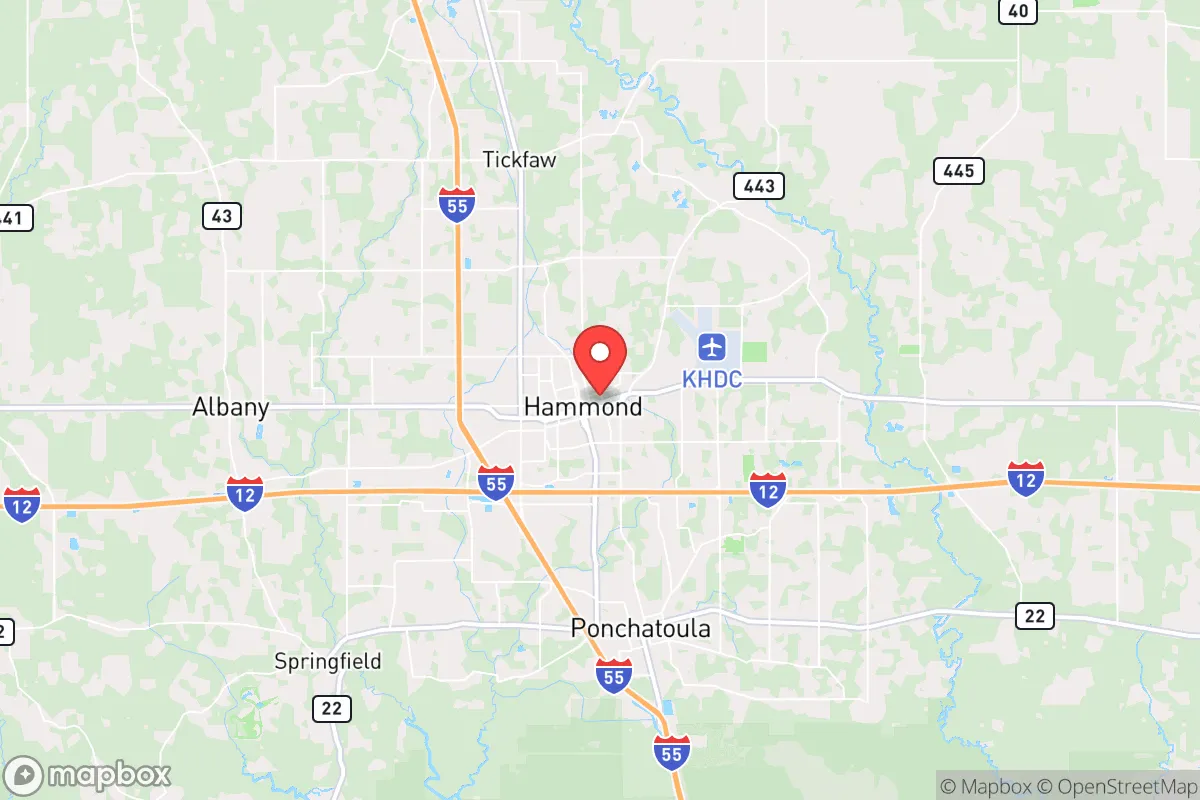
Key Distances
Regional Safe Places
Below is our recommended "safe zones" in Louisiana and the surrounding area based on our strategic heuristics. For most people, it's unrealistic to live in a “safe zone” full-time due to work, family or other personal reasons. They tend to be more rural. However, many of these areas are perfect for second homes and retreat properties that double as a vacation home or even a short-term rental.

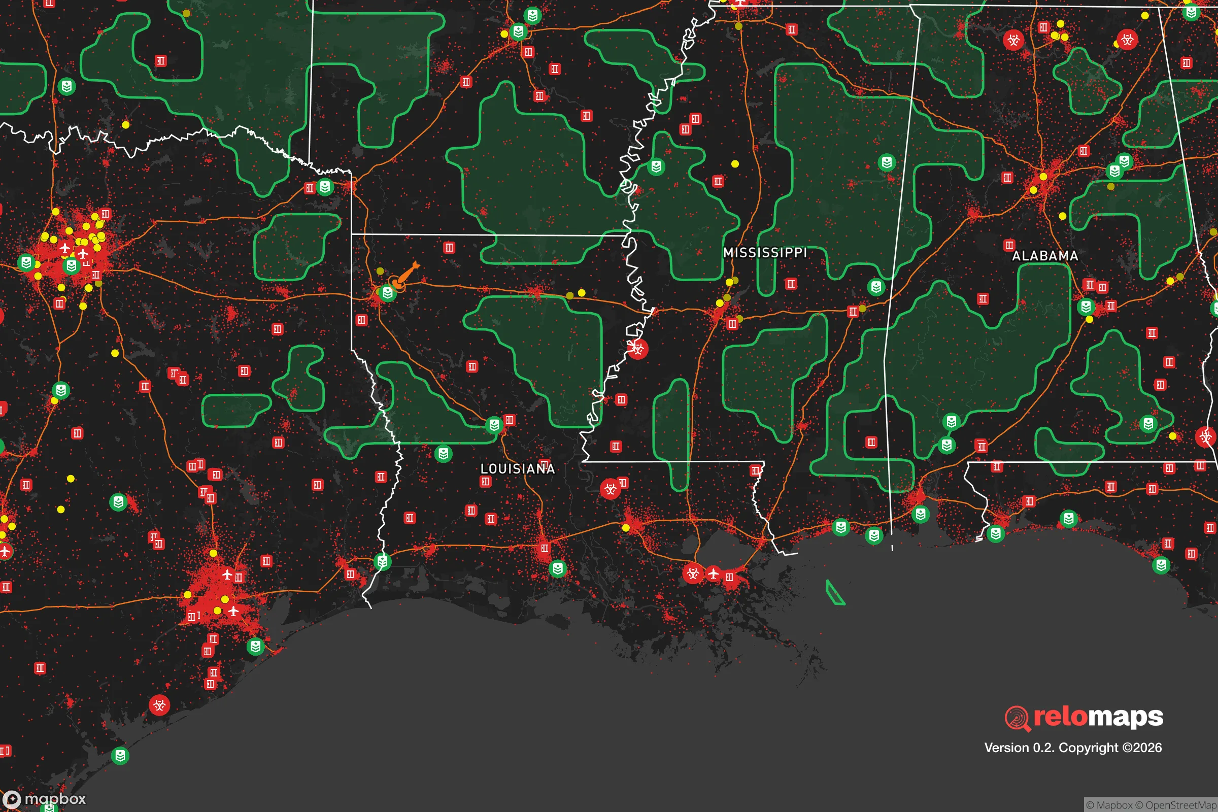
Important Note: For informational purposes only. This does not mean nothing bad ever happens in the green zones. Please use common sense. This is based on public data and modeled with AI. We tried to take a conservative approach but mistakes happen. We update this regularly as new information becomes available.
Solar Generator Recommendations
Backup power matters more here than in safer locations. We've picked three solar generators across budgets and capacity tiers — start with the budget unit if you only need a few essentials, or step up if you want to run a fridge and HVAC for days at a time.

Jackery Portable Power Station Explorer 300
Budget OptionPower on the Go: Weighing only 11 lbs, it's convenient to set up and store with book-sized foldable solar panels

BLUETTI Portable Power Station AC180
Designed for both indoor and outdoor scenarios, AC180 is highly capable as it has a robost capacity and continuous output power.

EF ECOFLOW DELTA Pro Ultra Power Station
Upgraded PickEcoFlow DELTA Pro Ultra is a whole-home energy system designed to grow with your family. Integrated with the Smart Home Panel 2, it scales to meet your evolving energy needs — keeping your home powered, intelligent, and secure through every stage of life.
We earn a commission, at no additional cost to you.
Strategic Assessment Analysis
Hammond, Louisiana, sits in a strategic sweet spot that resilience-minded relocators should take seriously: close enough to major infrastructure to be practical, far enough from the primary blast zones of New Orleans and Baton Rouge to offer genuine buffer. The city’s position along Interstate 12 and the Canadian National rail line gives it logistical heft without the choke-point vulnerability of a major metro hub. For a conservative-leaning individual or family looking to plant roots in a place that can weather civic unrest, supply-chain disruptions, or natural disasters, Hammond offers a rare combination of access and insulation — but only if you understand where the real risks lie.
Geographic position and natural advantages for long-term stability
Hammond’s location in Tangipahoa Parish places it roughly 45 miles north of Lake Pontchartrain and 50 miles east of Baton Rouge, putting it outside the immediate blast radius of those cities while still within a comfortable drive for work or resupply. The area sits on the Florida Parishes’ higher ground — a geological quirk that spares it the worst of Louisiana’s coastal subsidence and hurricane storm surge. The surrounding piney woods and mixed hardwood forests provide natural cover, timber resources, and game habitat that a prepper-minded relocator would find valuable. The Tickfaw River and the Natalbany River run through the parish, offering surface water sources that aren’t dependent on municipal treatment plants. Hammond’s elevation — roughly 40 feet above sea level — is modest but meaningful; during Hurricane Katrina, the city saw minimal flooding compared to the catastrophic inundation of New Orleans and the Northshore communities closer to the lake. That same elevation advantage applies to riverine flooding from the Mississippi or the Amite, both of which are distant enough to pose little direct threat. For someone assessing long-term habitability, Hammond’s position on the southern edge of the Florida Parishes’ pine belt gives it a defensible geography that flat, flood-prone coastal areas simply cannot match.
Risks, exposures, and proximity to fallout-relevant landmarks
No strategic assessment is honest without naming the liabilities. Hammond’s biggest exposure is its proximity to the I-12 corridor, which connects Baton Rouge to Slidell and the Gulf Coast. In a mass-evacuation scenario — whether from a hurricane, a chemical release, or civil unrest in New Orleans — that highway becomes a parking lot and a target. The city itself sits within 30 miles of the Louisiana Offshore Oil Port (LOOP) pipeline network and the ExxonMobil Baton Rouge Refinery, one of the largest in the country. A major industrial accident or sabotage event at either could produce a toxic plume that would reach Hammond within hours depending on wind direction. The nearby Louisiana Chemical Corridor — the stretch of the Mississippi between Baton Rouge and New Orleans — is dense with refineries, chemical plants, and LNG terminals. That industrial concentration is a double-edged sword: it provides economic stability but also creates a concentrated risk profile that a survivalist relocator must factor into their planning. On the natural-disaster side, Hammond is vulnerable to inland hurricane wind damage and tornadoes — the parish has seen multiple EF-2 and EF-3 events in the past decade. The city’s drainage infrastructure is adequate for normal rain events but can be overwhelmed by the slow-moving tropical systems that stall over the region. For a relocator with a conservative worldview concerned about cascading failures, the key takeaway is that Hammond’s risks are manageable if you plan for them — but ignoring the industrial and transportation exposure would be a mistake.
Practical resilience for a relocator: food, water, energy, and defensibility
For someone serious about self-sufficiency, Hammond offers a surprisingly workable base. The surrounding Tangipahoa Parish is agricultural — strawberries, timber, cattle, and row crops dominate the rural landscape — which means local food sources are available outside the supermarket supply chain. The Hammond Farmers Market operates year-round, and the parish’s agricultural extension office provides resources for home gardening, livestock, and food preservation. Water access is straightforward: the city draws from the Southern Hills Aquifer, a deep, high-quality groundwater source that is less vulnerable to surface contamination than the Mississippi River water used by New Orleans and Baton Rouge. For off-grid setups, the Tickfaw and Natalbany rivers are reliable surface-water sources, though treatment and filtration will be necessary. Energy resilience is a mixed picture. Entergy Louisiana provides grid power, and outages are common during thunderstorms and hurricanes — typically lasting 6 to 24 hours, but post-Katrina some rural areas waited weeks. Solar adoption is growing but not yet widespread; a relocator should plan for a backup generator or a standalone solar system with battery storage. Defensibility is where Hammond’s layout becomes relevant. The city’s core is compact and walkable, with a historic downtown that offers natural chokepoints and line-of-sight advantages for a security-minded resident. The surrounding rural areas — particularly north toward Amite and east toward the Pearl River — provide acreage, tree cover, and limited road access that make perimeter security more feasible. The local law enforcement presence is modest; the Tangipahoa Parish Sheriff’s Office has about 150 deputies for a parish of 135,000 people, so response times in rural areas can stretch to 20 minutes or more. That’s a negative if you’re expecting help, but a positive if you value the space to handle your own security without interference.
The overall strategic picture for Hammond is one of calculated trade-offs. It is not a remote bunker location — it is a working-class Southern town with real infrastructure, real industry, and real exposure to the same systemic risks that plague the rest of the country. What it offers is a position that balances access with buffer, where a prepared individual or family can build a resilient lifestyle without the isolation of deep rural living or the vulnerability of a major metro. The industrial corridor to the south is a genuine liability, and the I-12 corridor is a vulnerability in any evacuation scenario. But the water quality, the agricultural base, the higher ground, and the cultural inclination toward self-reliance among the local population make it a viable option for someone who wants to be ready for what’s coming — without having to disappear into the woods to do it. If you’re looking for a place where you can maintain a normal life while quietly building the capacity to handle disruption, Hammond deserves a serious look. Just don’t expect it to stay quiet forever.
* Values derived from national, state, county, city and local statistics and may differ in a specific area. Last updated: 2026-05-01T05:32:49.000Z
Narrative content on this page is AI-generated and may contain mistakes. Verify any details that matter before acting on them.
ReloMaps may earn a commission from affiliate links at no extra cost to you.