Photo: Wikipedia
Strategic Assessment of Hampstead, MD
Meaningful friction. Expect exposure to either population pressure, blast zones, or natural disaster risk. Consider buying a retreat property.
What does the Strategic Assessment tell us?
Our Strategic Assessment grades tactical survivability of an area. Major population centers, military targets, fallout zones, natural disasters, and border exposure all drive risk — lower exposure means a more defensible position in a crisis.
This is heavily inspired by Joel Skousen's Strategic Relocation book. Highly recommended you checkout the book ($)What does this tell us?
Our Strategic Assessment grades tactical survivability of an area. Major population centers, military targets, fallout zones, natural disasters, and border exposure all drive risk — lower exposure means a more defensible position in a crisis.
This is heavily inspired by Joel Skousen's Strategic Relocation book. Highly recommended you checkout the book ($)Strategic Pillars

Key Distances
Regional Safe Places
Below is our recommended "safe zones" in Maryland and the surrounding area based on our strategic heuristics. For most people, it's unrealistic to live in a “safe zone” full-time due to work, family or other personal reasons. They tend to be more rural. However, many of these areas are perfect for second homes and retreat properties that double as a vacation home or even a short-term rental.


Important Note: For informational purposes only. This does not mean nothing bad ever happens in the green zones. Please use common sense. This is based on public data and modeled with AI. We tried to take a conservative approach but mistakes happen. We update this regularly as new information becomes available.
Solar Generator Recommendations
Backup power matters more here than in safer locations. We've picked three solar generators across budgets and capacity tiers — start with the budget unit if you only need a few essentials, or step up if you want to run a fridge and HVAC for days at a time.

Jackery Portable Power Station Explorer 300
Budget OptionPower on the Go: Weighing only 11 lbs, it's convenient to set up and store with book-sized foldable solar panels

BLUETTI Portable Power Station AC180
Designed for both indoor and outdoor scenarios, AC180 is highly capable as it has a robost capacity and continuous output power.

EF ECOFLOW DELTA Pro Ultra Power Station
Upgraded PickEcoFlow DELTA Pro Ultra is a whole-home energy system designed to grow with your family. Integrated with the Smart Home Panel 2, it scales to meet your evolving energy needs — keeping your home powered, intelligent, and secure through every stage of life.
We earn a commission, at no additional cost to you.
Strategic Assessment Analysis
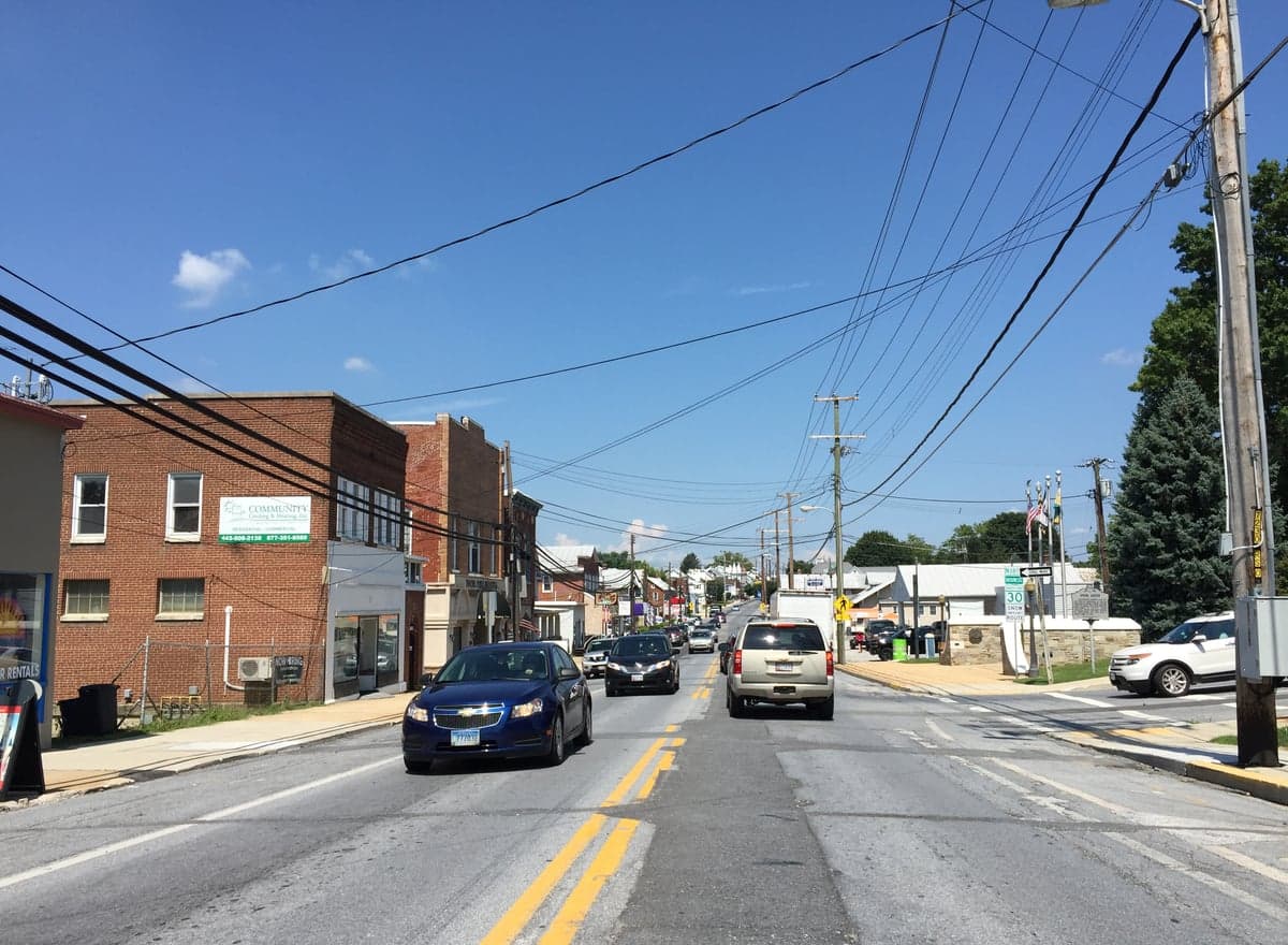
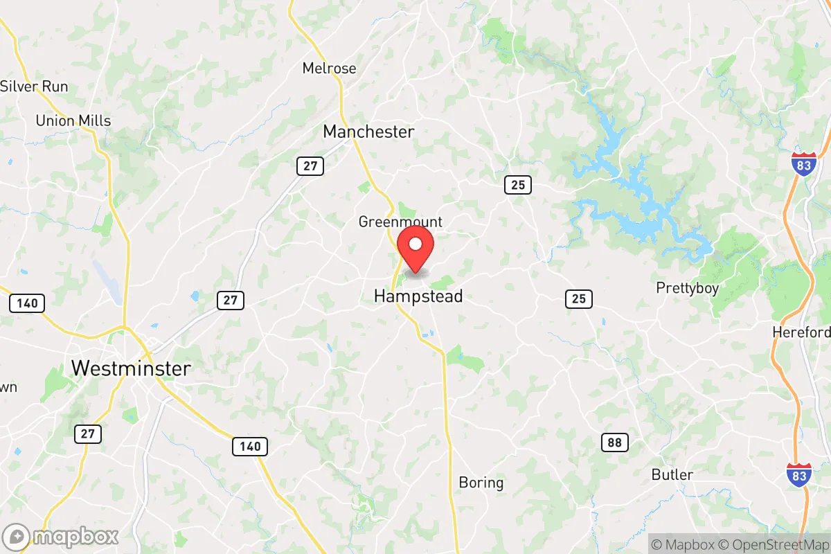
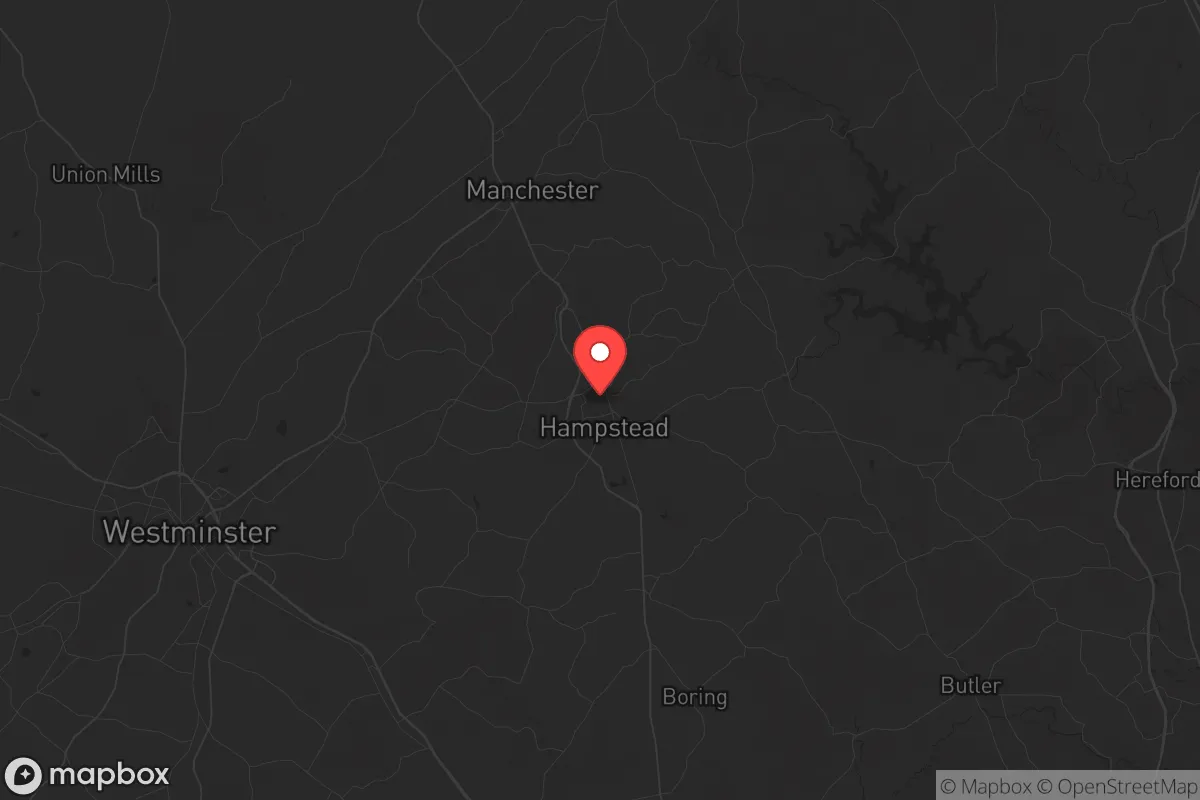
Hampstead, Maryland, sits in a sweet spot that few preppers fully appreciate: close enough to Baltimore and Washington D.C. to monitor the pulse of collapse, but far enough that the initial shockwaves of a major event—whether civil unrest, grid failure, or a mass casualty incident—will likely pass you by. This Carroll County town of roughly 6,300 people offers a strategic buffer zone, leveraging rural Maryland’s agricultural backbone while maintaining a conservative, self-reliant culture that hasn’t been fully washed out by the coastal tide. For a relocator thinking in decades, not months, Hampstead’s resilience lies in its geography, its community DNA, and its relative invisibility to the kind of targets that will draw fire in a crisis.
Geographic position and natural buffers: why this corner of Carroll County works
Hampstead is perched on the Parr’s Ridge, a natural high point that gives it a defensive advantage over the flatlands to the east and south. The town sits at roughly 800 feet elevation, which means line-of-sight issues for any would-be threat approaching from the Baltimore metro area 30 miles east. The terrain is rolling hills, mixed hardwood forest, and working farms—not the kind of open ground that makes you feel exposed, but not so rugged that mobility becomes a problem. The Big Gunpowder Falls River runs just south of town, providing a natural water source that isn’t immediately obvious on a map. That river, combined with the numerous small creeks and ponds scattered across the area, gives you options for off-grid water collection without relying on municipal infrastructure. The surrounding farmland—mostly corn, soy, and hay—means that even in a prolonged supply chain disruption, the local food production capacity is real, not theoretical. Carroll County is one of the few remaining places in the Maryland Piedmont where you can still find a 10-acre parcel with a well, a septic system, and a view of the next ridge over, all within 20 minutes of a grocery store that won’t be the first to empty out.
Risks, exposures, and proximity to fallout-relevant landmarks
Let’s be honest: no place inside the I-95 corridor is truly safe from the consequences of a major event. Hampstead’s biggest liability is its proximity to the Baltimore-Washington metropolitan area, which houses multiple high-value targets: Fort Meade (NSA headquarters), the Pentagon, the White House, and the Port of Baltimore. A coordinated attack, EMP, or even a prolonged civil unrest event in those cities would send a wave of refugees and looters outward along the major highways. Hampstead sits about 15 miles north of I-795, which connects directly to Baltimore, and about 20 miles west of I-83, the main artery from Baltimore to York, Pennsylvania. That means the town is not on a direct line from D.C. to anywhere, but it is close enough that secondary roads like MD-30 and MD-482 could become choke points if people start bugging out. The real risk here is not a direct strike—Hampstead has no military bases, no major industrial targets, no nuclear plants within 20 miles—but the secondary effects of a collapse in the cities. You’ll need a plan for filtering out transient threats, and that means knowing your neighbors and having a perimeter mindset. The good news is that Carroll County’s population density is low enough (roughly 250 people per square mile) that you won’t be overwhelmed by sheer numbers, but you will need to be prepared for the first 72 hours of chaos when the highways clog and the cell towers go dark.
Practical resilience for a relocator: food, water, energy, and defensibility
For the prepper who wants to actually live through a crisis, not just survive it, Hampstead offers a workable baseline. Water is the first concern: the town’s municipal supply comes from the Liberty Reservoir, which is a surface water source vulnerable to contamination or sabotage. The smart play is to drill a private well if you’re buying land—most rural parcels in Carroll County have good groundwater at depths of 100-300 feet, and the local geology (primarily limestone and shale) means you can usually get a decent yield without hitting saltwater. For those renting or buying in town, a rainwater catchment system on a 2,000-square-foot roof can collect about 1,200 gallons per inch of rain, and the area averages 44 inches annually. Food storage is straightforward: the local farm stands and CSAs are plentiful in season, and the Amish and Mennonite communities in neighboring Pennsylvania (just 20 minutes north) are a reliable source of bulk grains, canned goods, and livestock. You can buy a quarter beef from a local farmer for around $800 and have it processed at a USDA facility in Westminster. Energy is where Hampstead shines: the town is in the BGE service area, which has a history of storm-related outages (think Hurricane Isabel in 2003 or the 2012 derecho), but the rural parts of Carroll County have a higher rate of generator ownership than almost any other county in Maryland. Solar is viable—the area gets about 4.5 peak sun hours per day—but you’ll want battery backup, not grid-tied, if you’re serious about resilience. Defensibility is a mixed bag: the town itself is laid out along a main street (MD-30) with residential side streets, which makes it hard to secure a large perimeter. But the outlying areas—especially the farms and woodlots north of town toward the Pennsylvania line—offer natural chokepoints, good fields of fire, and limited access points. A property with a long driveway, a creek on one side, and a hill on the other is worth paying a premium for.
The overall strategic picture for Hampstead is one of calculated risk. You are not in a hardened bunker in the Rockies, and you are not in a remote Alaskan homestead. What you are is positioned in a zone that balances access to resources—medical care at Carroll Hospital in Westminster, hardware stores, farm supply outlets—with enough distance from the urban core to avoid the worst of the initial collapse. The community is overwhelmingly conservative, with a strong tradition of volunteer fire departments, church networks, and hunting culture. That means you will find allies, not adversaries, when you start talking about preparedness. The downsides are real: you are within a two-hour drive of multiple high-value targets, and the local economy is tied to the health of the Baltimore-Washington corridor. But if you are looking for a place to ride out the next decade of instability without going full hermit, Hampstead offers a defensible, resource-rich, and culturally aligned base of operations. The key is to buy in before the next wave of urban refugees discovers it—because once the cities burn, this town will be on every smart prepper’s map.
* Values derived from national, state, county, city and local statistics and may differ in a specific area. Last updated: 2026-04-22T01:54:27.000Z
Narrative content on this page is AI-generated and may contain mistakes. Verify any details that matter before acting on them.
ReloMaps may earn a commission from affiliate links at no extra cost to you.