Photo: Wikipedia
Strategic Assessment of Hedgesville, WV
Meaningful friction. Expect exposure to either population pressure, blast zones, or natural disaster risk. Consider buying a retreat property.
What does the Strategic Assessment tell us?
Our Strategic Assessment grades tactical survivability of an area. Major population centers, military targets, fallout zones, natural disasters, and border exposure all drive risk — lower exposure means a more defensible position in a crisis.
This is heavily inspired by Joel Skousen's Strategic Relocation book. Highly recommended you checkout the book ($)What does this tell us?
Our Strategic Assessment grades tactical survivability of an area. Major population centers, military targets, fallout zones, natural disasters, and border exposure all drive risk — lower exposure means a more defensible position in a crisis.
This is heavily inspired by Joel Skousen's Strategic Relocation book. Highly recommended you checkout the book ($)Strategic Pillars

Key Distances
Regional Safe Places
Below is our recommended "safe zones" in West Virginia and the surrounding area based on our strategic heuristics. For most people, it's unrealistic to live in a “safe zone” full-time due to work, family or other personal reasons. They tend to be more rural. However, many of these areas are perfect for second homes and retreat properties that double as a vacation home or even a short-term rental.


Important Note: For informational purposes only. This does not mean nothing bad ever happens in the green zones. Please use common sense. This is based on public data and modeled with AI. We tried to take a conservative approach but mistakes happen. We update this regularly as new information becomes available.
Solar Generator Recommendations
Backup power matters more here than in safer locations. We've picked three solar generators across budgets and capacity tiers — start with the budget unit if you only need a few essentials, or step up if you want to run a fridge and HVAC for days at a time.

Jackery Portable Power Station Explorer 300
Budget OptionPower on the Go: Weighing only 11 lbs, it's convenient to set up and store with book-sized foldable solar panels

BLUETTI Portable Power Station AC180
Designed for both indoor and outdoor scenarios, AC180 is highly capable as it has a robost capacity and continuous output power.

EF ECOFLOW DELTA Pro Ultra Power Station
Upgraded PickEcoFlow DELTA Pro Ultra is a whole-home energy system designed to grow with your family. Integrated with the Smart Home Panel 2, it scales to meet your evolving energy needs — keeping your home powered, intelligent, and secure through every stage of life.
We earn a commission, at no additional cost to you.
Strategic Assessment Analysis
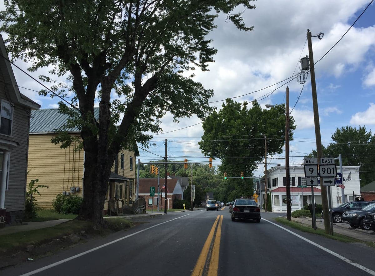
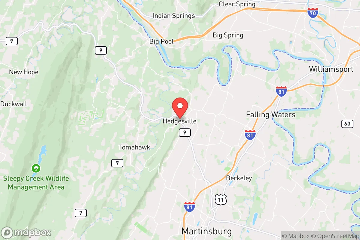
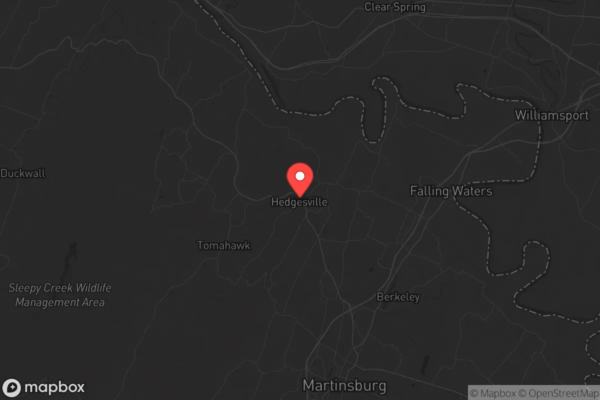
Hedgesville, West Virginia, offers a strategic relocation option for those prioritizing resilience and self-sufficiency, sitting in a sweet spot that balances rural seclusion with access to essential infrastructure. Located in Berkeley County, roughly 20 miles from the Maryland border and 90 miles from Washington, D.C., this small town of about 300 residents provides a buffer from urban chaos while remaining close enough to supply routes and medical facilities. The area’s low population density, rolling hills, and proximity to the Potomac River create a natural defensive posture that appeals to preppers and survivalists looking to weather civic unrest, economic collapse, or mass casualty events.
Geographic position and natural defensive advantages
Hedgesville sits in the eastern panhandle of West Virginia, a region defined by the Appalachian foothills and the Potomac River corridor. The terrain offers natural choke points and elevated positions that could be leveraged for security, with the Sleepy Creek Mountain and Cacapon Mountain ranges providing barriers to the west and south. The town is roughly 15 miles from the Potomac River, which serves as both a water source and a potential natural boundary during regional disruptions. The area’s forested landscape—predominantly mixed hardwoods and pines—offers cover and resources for hunting, foraging, and timber for construction or fuel. Winters are moderate, with average January lows around 22°F, reducing the risk of extreme cold-related survival challenges compared to northern states. The growing season runs about 170 days, sufficient for subsistence gardening of staples like potatoes, beans, and squash. For a relocator, the key advantage is the ability to monitor access points: the main routes into Hedgesville are narrow two-lane roads (WV-9 and WV-901) that can be easily observed or blocked, while the surrounding national forest land (George Washington National Forest to the east) provides a buffer against urban sprawl.
Risks, exposures, and proximity to fallout-relevant landmarks
The primary strategic risk for Hedgesville is its proximity to the Washington-Baltimore metropolitan corridor, roughly 90 miles east. In a scenario involving a nuclear detonation, EMP attack, or large-scale terrorist event in D.C., fallout patterns could affect the eastern panhandle depending on wind direction—prevailing westerlies would push contamination eastward, but a shift could bring it over the area. The nearby Potomac River also serves as a potential contamination vector if upstream sources are compromised. Additionally, Berkeley County hosts the Martinsburg VA Medical Center and the Eastern Regional Jail, both potential targets for civil unrest or infrastructure attacks. The Hedgesville area sits within 30 miles of the Fort Detrick biodefense lab in Frederick, Maryland, a facility that has been the subject of security concerns and could be a target in a bioweapon or lab-accident scenario. On the positive side, the area lacks major industrial or military targets—no nuclear plants, large refineries, or strategic command centers—reducing the likelihood of being a primary strike zone. The biggest exposure is the Interstate 81 corridor, running 15 miles west through Martinsburg, which could become a chokepoint for refugees fleeing east coast cities during a collapse, potentially bringing violence and resource competition. For a relocator, the risk is manageable with proper planning: stockpiling supplies, maintaining multiple exit routes (including back roads through Sleepy Creek Wildlife Management Area), and establishing a network of trusted neighbors.
Practical resilience for a relocator: food, water, energy, and defensibility
Water availability is a strong point for Hedgesville. The area sits atop the Potomac aquifer, and most properties have access to groundwater via wells, with typical depths of 100-300 feet yielding reliable supplies. Surface water sources include Sleepy Creek and the Potomac River, but these require filtration and boiling due to agricultural runoff and potential contamination. For food resilience, the region supports deer hunting (white-tailed deer are abundant), small game like rabbit and squirrel, and fishing in the Potomac and local streams. The growing season allows for a three-season garden, and local farmers’ markets in nearby Martinsburg (10 miles south) provide seed stock and livestock options. Energy independence is achievable: the area has good solar exposure (average 4.5 peak sun hours per day), and many homes already use propane for heating, which can be stored in bulk. Wood heating is viable given the forest cover, with permits available for firewood collection on state land. Defensibility is enhanced by the terrain: the town is nestled in a valley with ridges to the north and east, providing natural observation points. The low population density (about 100 people per square mile in the surrounding area) means fewer potential threats, but also fewer allies—building a mutual assistance group (MAG) is critical. The Berkeley County Sheriff’s Office has a substation in Hedgesville, but response times in a crisis could be hours, so self-reliance is paramount. For a relocator, the practical steps are clear: secure a property with a well and septic, install solar panels with battery backup, stock a year’s worth of food and medical supplies, and establish a perimeter plan using the natural terrain.
Overall, Hedgesville presents a solid strategic option for the conservative-minded prepper seeking a balance between isolation and access. Its location avoids the direct fallout zones of major cities while still being within a day’s drive of critical resources like the Martinsburg VA hospital and the Hagerstown Regional Airport for potential evacuation. The primary trade-off is the proximity to the D.C. metro area’s chaos potential, but the natural barriers and low profile of the town mitigate much of that risk. For a single individual or family willing to invest in infrastructure and community building, Hedgesville offers a defensible, resource-rich base for long-term survival in an uncertain future. The key is to act now—land prices in Berkeley County have risen 15-20% since 2020, and the window for affordable acquisition is narrowing as more urban refugees discover the area.
* Values derived from national, state, county, city and local statistics and may differ in a specific area. Last updated: 2026-04-23T06:09:08.000Z
Narrative content on this page is AI-generated and may contain mistakes. Verify any details that matter before acting on them.
ReloMaps may earn a commission from affiliate links at no extra cost to you.