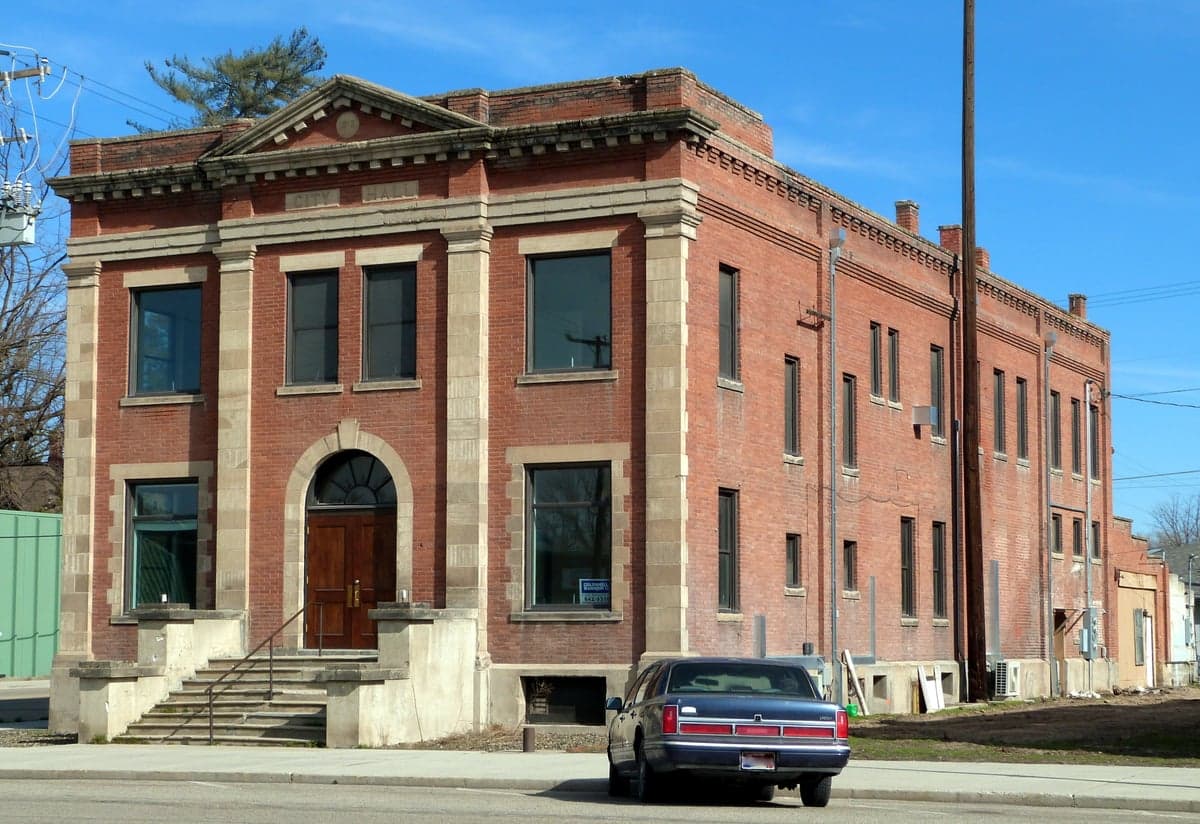
Photo: Wikipedia
Strategic Assessment of Payette County
Strong survivability profile. Good buffer from population centers, with manageable environmental and tactical risks.
What does the Strategic Assessment tell us?
Our Strategic Assessment grades tactical survivability of an area. Major population centers, military targets, fallout zones, natural disasters, and border exposure all drive risk — lower exposure means a more defensible position in a crisis.
This is heavily inspired by Joel Skousen's Strategic Relocation book. Highly recommended you checkout the book ($)What does this tell us?
Our Strategic Assessment grades tactical survivability of an area. Major population centers, military targets, fallout zones, natural disasters, and border exposure all drive risk — lower exposure means a more defensible position in a crisis.
This is heavily inspired by Joel Skousen's Strategic Relocation book. Highly recommended you checkout the book ($)Strategic Pillars

Key Distances
Strategic Assessment Analysis
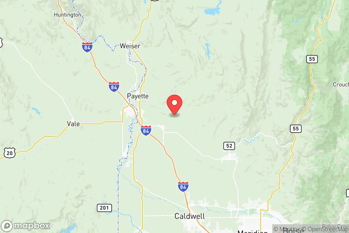
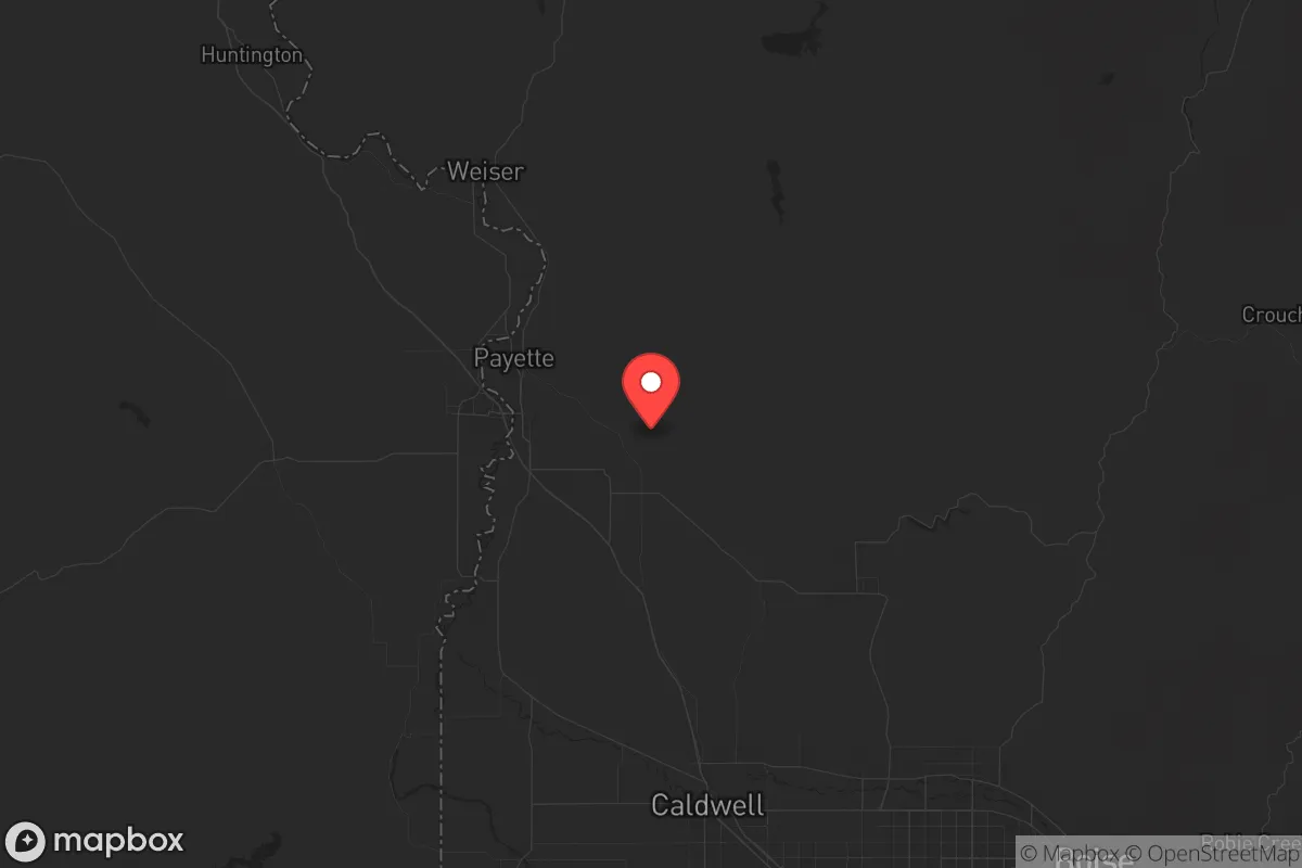
Payette County, Idaho, offers a strategic relocation option for those prioritizing resilience and self-sufficiency, sitting comfortably outside the blast radius of major metropolitan targets while maintaining access to essential supply routes. Its position along the Snake River and the Oregon border places it roughly 50 miles northwest of Boise, far enough to avoid the immediate fallout and civil unrest that would likely engulf a major city in a crisis, yet close enough to leverage regional infrastructure when stable. The county’s agricultural base, low population density (roughly 25,000 residents spread across 836 square miles), and conservative political culture make it a defensible, resource-rich haven for individuals and families looking to weather societal disruptions.
Geographic position and natural advantages for long-term survival
Payette County’s geography is its primary strategic asset. The Snake River runs through its southern edge, providing a reliable, year-round water source that can support irrigation, livestock, and personal consumption without reliance on municipal systems. The county is bordered by the Payette River to the north and the Owyhee Mountains to the south, creating natural chokepoints and defensible terrain. The city of Payette (pop. ~7,500) sits at the confluence of the Payette and Snake Rivers, offering a central hub for trade and community coordination, while New Plymouth (pop. ~1,500) and Fruitland (pop. ~5,000) provide smaller, more isolated clusters ideal for off-grid setups. The region’s volcanic soil supports robust agriculture—alfalfa, corn, and wheat are common—meaning food production is viable even without industrial supply chains. Elevation averages around 2,200 feet, reducing flood risk while maintaining moderate temperatures for year-round growing seasons. For a relocator, this means you can establish a homestead with access to surface water, fertile land, and natural barriers against unwanted movement.
Risks, exposures, and proximity to fallout-relevant landmarks
No location is without vulnerabilities, and Payette County’s risks are tied to its proximity to regional infrastructure that could become targets or choke points. The most immediate concern is Boise (pop. ~240,000), 50 miles southeast, which houses the state capital, the Mountain Home Air Force Base (45 miles south), and the Boise Airport—all potential targets for a coordinated attack or civil unrest epicenter. In a mass casualty event, refugees from Boise would likely flow along Interstate 84, which runs through the southern edge of Payette County near Fruitland. This corridor could become a funnel for desperate populations, requiring pre-planned defensive positions or alternate routes. Additionally, the Payette Municipal Airport and the nearby Ontario, Oregon airport (just across the border) are small but could be commandeered by federal or state forces. The county’s reliance on the Snake River for irrigation also means upstream contamination—from a dam failure at Brownlee Dam (30 miles north) or industrial runoff—could disrupt water supplies. Earthquake risk is low but not zero; the region sits near the Western Idaho Shear Zone, capable of a 6.5-magnitude event. For the prepper, these exposures are manageable with proper planning—stockpiling water filters, mapping secondary roads, and establishing a network of trusted neighbors in Fruitland or New Plymouth to monitor the I-84 corridor.
Practical resilience for a relocator: food, water, energy, and defensibility
Payette County excels in the fundamentals of long-term survival. Water is abundant: the Snake River alone provides over 10,000 cubic feet per second of flow, and the county’s aquifer is shallow enough for hand-dug wells in many areas. For energy, the region’s high desert climate offers 300+ sunny days per year, making solar panels a viable primary power source, while the Payette River’s flow supports micro-hydro setups for those with creek access. The county’s agricultural heritage means local food production is already a cultural norm—farmers’ markets in Payette and Fruitland operate year-round, and the area has a strong network of seed exchanges and livestock cooperatives. For defensibility, the terrain is open but not flat; rolling hills and river bluffs provide natural cover, and the low population density means you can secure a property with clear sightlines. The county’s conservative ethos—Payette County voted 78% Republican in the 2024 election—translates into a culture of self-reliance, firearm ownership, and mutual aid among neighbors. The Payette County Sheriff’s Office is responsive but small (roughly 20 deputies), so community watch and private security are the norm. For a family, this means you can raise children in an environment where hunting, gardening, and emergency preparedness are taught as life skills, not hobbies. The main challenge is isolation from medical care; the nearest trauma center is in Boise, so investing in a comprehensive medical kit and training is non-negotiable.
The overall strategic picture for Payette County is one of calculated viability. It’s not a remote bunker in the wilderness—it’s a working agricultural community with enough infrastructure to sustain a normal life while offering the space and resources to ride out a crisis. The proximity to Boise is a double-edged sword: it provides access to supplies and healthcare in stable times, but it’s a liability during collapse. For the relocator who values preparedness without abandoning civilization entirely, Payette County strikes a balance. The key is to secure a property away from the I-84 corridor—look at the areas north of Payette or east of New Plymouth—and build relationships with local farmers and ranchers before you need them. In a world where the grid could flicker and cities could burn, this corner of Idaho offers a place where you can still grow your own food, draw your own water, and defend your own ground.
* Values derived from national, state, county, city and local statistics and may differ in a specific area. Last updated: 2026-05-11T22:11:54.000Z
Narrative content on this page is AI-generated and may contain mistakes. Verify any details that matter before acting on them.
ReloMaps may earn a commission from affiliate links at no extra cost to you.