
Photo: Wikipedia
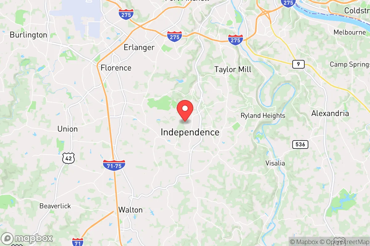
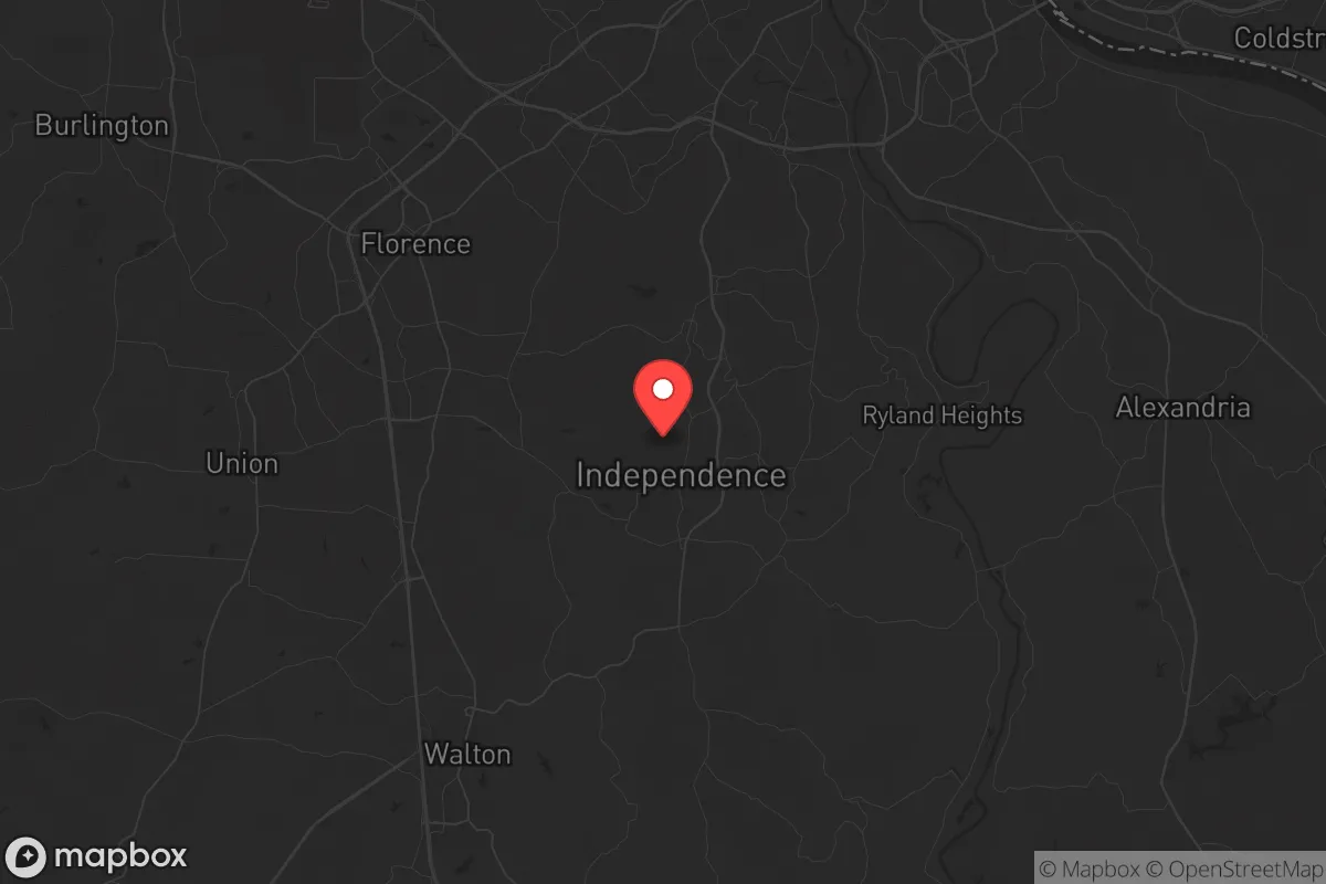
Strategic Assessment of Independence, KY
Meaningful friction. Expect exposure to either population pressure, blast zones, or natural disaster risk. Consider buying a retreat property.
What does the Strategic Assessment tell us?
Our Strategic Assessment grades tactical survivability of an area. Major population centers, military targets, fallout zones, natural disasters, and border exposure all drive risk — lower exposure means a more defensible position in a crisis.
This is heavily inspired by Joel Skousen's Strategic Relocation book. Highly recommended you checkout the book ($)What does this tell us?
Our Strategic Assessment grades tactical survivability of an area. Major population centers, military targets, fallout zones, natural disasters, and border exposure all drive risk — lower exposure means a more defensible position in a crisis.
This is heavily inspired by Joel Skousen's Strategic Relocation book. Highly recommended you checkout the book ($)Strategic Pillars

Key Distances
Regional Safe Places
Below is our recommended "safe zones" in Kentucky and the surrounding area based on our strategic heuristics. For most people, it's unrealistic to live in a “safe zone” full-time due to work, family or other personal reasons. They tend to be more rural. However, many of these areas are perfect for second homes and retreat properties that double as a vacation home or even a short-term rental.


Important Note: For informational purposes only. This does not mean nothing bad ever happens in the green zones. Please use common sense. This is based on public data and modeled with AI. We tried to take a conservative approach but mistakes happen. We update this regularly as new information becomes available.
Solar Generator Recommendations
Backup power matters more here than in safer locations. We've picked three solar generators across budgets and capacity tiers — start with the budget unit if you only need a few essentials, or step up if you want to run a fridge and HVAC for days at a time.

Jackery Portable Power Station Explorer 300
Budget OptionPower on the Go: Weighing only 11 lbs, it's convenient to set up and store with book-sized foldable solar panels

BLUETTI Portable Power Station AC180
Designed for both indoor and outdoor scenarios, AC180 is highly capable as it has a robost capacity and continuous output power.

EF ECOFLOW DELTA Pro Ultra Power Station
Upgraded PickEcoFlow DELTA Pro Ultra is a whole-home energy system designed to grow with your family. Integrated with the Smart Home Panel 2, it scales to meet your evolving energy needs — keeping your home powered, intelligent, and secure through every stage of life.
We earn a commission, at no additional cost to you.
Strategic Assessment Analysis
Independence, Kentucky, offers a compelling mix of strategic depth and practical resilience for those prioritizing self-reliance and security. Located in Kenton County, roughly 15 miles south of Cincinnati, this city of about 28,000 residents sits at a critical inflection point—close enough to urban resources for supply runs and medical access, yet far enough to avoid the immediate blast zones, civil unrest epicenters, and grid collapse cascades that threaten major metro areas. For a conservative-minded relocator assessing long-term survivability, Independence’s position on the southern edge of the Cincinnati metro provides a buffer that many suburban communities lack, while its rolling hills and lower population density offer natural advantages for those serious about preparedness.
Geographic position and natural advantages for long-term security
Independence’s geography is its first line of defense. The city sits atop the rugged terrain of the Outer Bluegrass region, characterized by limestone bedrock, steep creek valleys, and forested ridges that naturally limit large-scale movement and provide defensible positions. Unlike the flat, open farmland to the west, this area offers numerous choke points along rural roads like KY-17 and KY-467, which can be monitored or blocked if needed. The proximity to the Ohio River—about 10 miles north—provides a reliable water source for filtration, though the river itself is a potential contamination vector during industrial accidents or upstream releases. More importantly, the region’s karst topography means abundant groundwater in many areas, with private wells common in the unincorporated parts of Kenton County. For a relocator, this means water independence is achievable without relying on municipal systems that could fail during grid-down scenarios. The local climate is temperate, with four distinct seasons and average annual rainfall of 42 inches, supporting year-round gardening and small-scale agriculture. The growing season runs roughly April through October, allowing for significant food production if you have the land and seed stock.
Risks, exposures, and proximity to fallout-relevant landmarks
No location is without vulnerabilities, and Independence has several that demand attention. The most obvious risk is its proximity to Cincinnati, a major population center with over 2 million people in the metro area. In a scenario involving civil unrest, mass casualty events, or a coordinated attack, the city sits within the likely refugee flow corridor. Interstate 75 runs just west of Independence, and US-27 cuts through the city—both are primary evacuation routes that could become clogged or dangerous. The Cincinnati/Northern Kentucky International Airport (CVG) is only 12 miles northwest, making it a potential target for air-based attacks or a source of secondary fallout if a dirty bomb or chemical release occurs there. Additionally, the Ohio River carries barge traffic with industrial chemicals, and the nearby Brent Spence Bridge is a known infrastructure vulnerability that, if compromised, could isolate the region or create secondary hazards. For those concerned with electromagnetic pulse (EMP) or solar flare events, the area’s power grid is tied to the PJM Interconnection, one of the largest in the country, which could see cascading failures. However, Independence’s lower population density and lack of major military or government installations reduce its attractiveness as a primary target. The nearest significant military asset is Wright-Patterson Air Force Base in Dayton, about 60 miles northeast—close enough to feel secondary effects but not close enough to be a direct blast zone.
Practical resilience for a relocator: food, water, energy, and defensibility
For the individual or family serious about self-sufficiency, Independence offers a mixed but workable baseline. Water security is the strongest asset: the region’s groundwater is generally clean and accessible via drilled wells, with typical depths of 100-300 feet. Many older homes in the area already have wells, and new construction can include them for under $10,000. Rainwater catchment is also viable given the annual precipitation, though you’ll need to account for seasonal dry spells in late summer. Food production is feasible but requires land: the average lot size in the city is 0.5-2 acres, but moving to the surrounding unincorporated areas of Kenton or Boone counties can get you 5-20 acres at reasonable prices (around $10,000-$20,000 per acre as of 2025). The soil is clay-heavy but workable with amendments, and the local extension office offers resources for gardening and livestock. Deer, turkey, and small game are abundant in the wooded areas, providing a protein source for those with hunting skills. Energy independence is more challenging: the grid is reliable in normal times but vulnerable to weather events (ice storms, tornadoes) and cyber attacks. Solar is viable but requires battery storage due to frequent cloud cover—expect 4-5 peak sun hours per day on average. Natural gas is widely available in the city limits, which is a plus for heating and cooking during grid outages, but propane tanks are the better bet for rural properties. Defensibility is moderate: the terrain provides natural cover, but the area is not remote. Neighbors are close enough to be a concern during social collapse, but the community is generally conservative and self-reliant, with a strong local gun culture and multiple shooting ranges within 20 minutes. The Kenton County Sheriff’s Office has a good reputation, but response times in rural parts can exceed 20 minutes, meaning you’re on your own for the first critical minutes of any incident.
Overall, Independence represents a calculated trade-off for the strategic relocator. It’s not a bug-out location in the wilderness—you’re still within the sphere of a major city’s risks. But for someone who wants to maintain a normal job, access healthcare, and stay connected while building a resilient homestead, it’s one of the better options in the Ohio River Valley. The key is to buy property with a well, install solar with battery backup, and establish a network of like-minded neighbors before any crisis hits. The local prepper community is active but low-key, with groups meeting at places like the Independence Fire Department or through church networks. If you’re looking for a place that balances proximity to resources with genuine survivability, Independence deserves a serious look—just don’t expect it to be a fortress. It’s a base camp, not a bunker, and that’s exactly what most people need.
* Values derived from national, state, county, city and local statistics and may differ in a specific area. Last updated: 2026-05-03T20:24:28.000Z
Narrative content on this page is AI-generated and may contain mistakes. Verify any details that matter before acting on them.
ReloMaps may earn a commission from affiliate links at no extra cost to you.