
Photo: Wikipedia
Strategic Assessment of Boone County
Strong survivability profile. Good buffer from population centers, with manageable environmental and tactical risks.
What does the Strategic Assessment tell us?
Our Strategic Assessment grades tactical survivability of an area. Major population centers, military targets, fallout zones, natural disasters, and border exposure all drive risk — lower exposure means a more defensible position in a crisis.
This is heavily inspired by Joel Skousen's Strategic Relocation book. Highly recommended you checkout the book ($)What does this tell us?
Our Strategic Assessment grades tactical survivability of an area. Major population centers, military targets, fallout zones, natural disasters, and border exposure all drive risk — lower exposure means a more defensible position in a crisis.
This is heavily inspired by Joel Skousen's Strategic Relocation book. Highly recommended you checkout the book ($)Strategic Pillars

Key Distances
Strategic Assessment Analysis
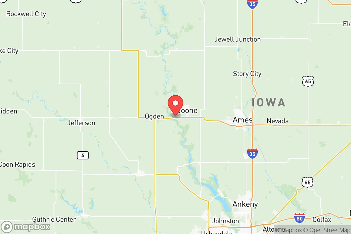
Boone County, Iowa, sits in a sweet spot that resilience-minded relocators should take seriously: close enough to Des Moines for supply runs and medical access, but far enough that you won't be caught in the chaos if the capital sees unrest or a grid-down scenario. The county's position along the Des Moines River and its mix of farmland, small towns, and light industry give it a quiet, defensible character that's increasingly rare in the Midwest. For someone thinking about where to plant roots when the world gets shaky, Boone County offers a solid baseline — not perfect, but better than most places within an hour of a major metro.
Geographic position and natural advantages for long-term stability
Boone County sits about 30 miles north of Des Moines, which puts it outside the likely blast radius or immediate fallout zone of any strike on the capital's infrastructure, while still being close enough to tap into the region's resources. The county is bisected by the Des Moines River, which provides a reliable water source and natural terrain breaks that could be useful for perimeter awareness or retreat planning. The land is mostly flat to gently rolling farmland, which means good visibility and limited cover for unwanted movement — a double-edged sword, but one that favors the prepared. The county seat, Boone, sits right on the river, while smaller towns like Ogden, Madrid, and Luther offer additional nodes of population that are small enough to know your neighbors but large enough to have a gas station and a grocery store. The area's agricultural base means that even in a supply chain disruption, local food production is a real advantage — corn, soybeans, and livestock operations are everywhere, and many farms still run on a scale where barter and direct sales are possible. The climate is four-season but not extreme: cold winters require preparation, but the growing season is long enough for serious gardening, and the lack of major natural disaster threats (no hurricanes, no earthquakes, no wildfires) is a huge plus for long-term stability.
Risks, exposures, and proximity to fallout-relevant landmarks
No location is risk-free, and Boone County has a few exposures that a strategic relocator needs to account for. The biggest concern is the proximity to Des Moines — while 30 miles is a decent buffer, a major event at the state capital (civil unrest, a dirty bomb, or a targeted strike on government buildings) could send refugees north along I-35 and Highway 30. Boone County sits right on the intersection of those two corridors, which means it could see significant traffic if people flee the city. The county also has its own infrastructure that could be a target: the Boone County Wind Farm and the Alliant Energy generating station near Boone are energy assets that, while not high-value military targets, could be points of failure in a grid-down scenario. The Des Moines International Airport is about 40 miles south — not a primary military target, but any major disruption there would ripple north. On the plus side, there are no major refineries, chemical plants, or military bases within the county itself. The nearest significant military installation is Camp Dodge in Johnston, about 25 miles south — that's a National Guard base that could become a staging area during unrest, which might draw attention or resources away from the area. The Iowa Army Ammunition Plant in Middletown is about 100 miles southeast, far enough to be irrelevant for fallout but worth noting for supply chain awareness. Overall, the risk profile is moderate — the county isn't a target itself, but it sits on the edge of a potential crisis zone.
Practical resilience for a relocator: food, water, energy, and defensibility
For someone serious about self-sufficiency, Boone County checks several boxes. Water access is strong: the Des Moines River runs through the county, and there are numerous smaller creeks, ponds, and shallow aquifers that make well drilling viable. Most rural properties already have private wells, and the water table is generally good — a key advantage over areas where you're dependent on municipal systems that could fail in a crisis. Food production is the county's strongest suit. The agricultural economy means that even if grocery stores empty out, there are local farmers, livestock auctions, and direct-to-consumer meat processors that can keep a prepared family fed. The Boone County Fairgrounds in Boone hosts regular livestock sales and could become a community distribution point in a prolonged disruption. For energy, the county has wind generation and natural gas infrastructure, but a relocator should plan for off-grid capability — solar is viable here, though winter cloud cover means you'll want battery storage and a backup generator. Defensibility is moderate: the terrain is open, which means you can see threats coming from a distance, but it also means you're visible. The small towns offer some community security — Madrid and Ogden have active local populations that would likely organize quickly in a crisis. The county's law enforcement presence is thin (typical for rural Iowa), so self-reliance is the name of the game. The Boone County Hospital in Boone is a small but capable facility for routine care, but for serious trauma you're looking at a 40-minute drive to Des Moines — something to factor into medical planning.
The overall strategic picture for Boone County is one of quiet viability. It's not a prepper paradise — you won't find bunkers, militia compounds, or survivalist communities in any numbers. What you will find is a working agricultural county with decent water, good soil, and a population that still knows how to fix things and grow food. The proximity to Des Moines is a risk, but it's also a resource: access to hospitals, hardware stores, and supply chains that smaller counties lack. For a conservative-leaning relocator who wants to be out of the fray but not off the grid entirely, Boone County offers a realistic middle ground. It's the kind of place where you can raise a family, keep a garden, know your neighbors, and still make it to a Home Depot in 40 minutes. In a world where that balance is getting harder to find, that counts for a lot.
* Values derived from national, state, county, city and local statistics and may differ in a specific area. Last updated: 2026-05-20T19:43:41.000Z
Narrative content on this page is AI-generated and may contain mistakes. Verify any details that matter before acting on them.
ReloMaps may earn a commission from affiliate links at no extra cost to you.