
Photo: Wikipedia
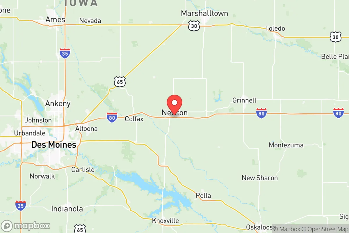
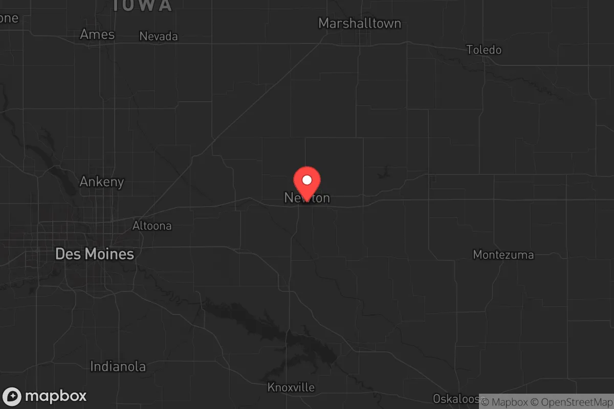
Strategic Assessment of Jasper County
Workable tactical position. Some exposure to population density or targets, but generally defensible in a crisis.
What does the Strategic Assessment tell us?
Our Strategic Assessment grades tactical survivability of an area. Major population centers, military targets, fallout zones, natural disasters, and border exposure all drive risk — lower exposure means a more defensible position in a crisis.
This is heavily inspired by Joel Skousen's Strategic Relocation book. Highly recommended you checkout the book ($)What does this tell us?
Our Strategic Assessment grades tactical survivability of an area. Major population centers, military targets, fallout zones, natural disasters, and border exposure all drive risk — lower exposure means a more defensible position in a crisis.
This is heavily inspired by Joel Skousen's Strategic Relocation book. Highly recommended you checkout the book ($)Strategic Pillars

Key Distances
Strategic Assessment Analysis
Jasper County, Iowa, sits in a sweet spot that resilience-minded relocators rarely find: close enough to infrastructure to matter, far enough from chaos to breathe. Centered around Newton, the county offers a strategic blend of agricultural self-sufficiency, industrial history, and geographic insulation from the worst-case scenarios that keep preppers up at night. With a population hovering around 37,000 and a land area of 733 square miles, this is not a place that will be on anyone’s primary target list—but it is a place where you can build a life that doesn’t depend on a fragile supply chain or a functioning grid.
Geographic position and natural advantages for long-term security
Jasper County sits roughly 35 miles east of Des Moines, placing it outside the blast radius and immediate fallout zone of Iowa’s largest population center. The county is bisected by Interstate 80, which runs east-west through Newton, giving residents a direct evacuation or resupply corridor to the rest of the country without being trapped in a metropolitan traffic nightmare. The South Skunk River and numerous creeks drain the area, providing surface water sources that are less likely to be contaminated by industrial runoff compared to rivers near larger cities. The terrain is gently rolling farmland—not mountainous, but with enough wooded draws and creek bottoms to offer natural cover and defensible positions for a rural homestead. The county’s agricultural base means that even in a prolonged disruption, local food production can continue; Jasper County ranks in the top third of Iowa counties for corn and soybean output, and there are working farms within a 10-minute drive of Newton’s city limits. For a relocator thinking about long-term sustainability, that’s not a luxury—it’s a lifeline.
Risks, exposures, and proximity to fallout-relevant landmarks
No place is risk-free, and Jasper County has its share of exposures that a strategic relocator needs to weigh. The most obvious is the Newton industrial corridor, which includes a major rail yard and a former Maytag manufacturing complex that now houses data centers and light industrial operations. While not a nuclear target, any large industrial facility can become a secondary hazard during civil unrest or grid failure—think looting, fire, or chemical release. More concerning is the county’s position relative to Fort Des Moines and the Des Moines International Airport, both of which could become military staging points in a national emergency. Fallout from a nuclear event at either location would likely drift east-northeast, meaning Jasper County could see measurable contamination depending on wind patterns. The county also sits within 150 miles of the Omaha Strategic Air Command facilities and the Kansas City Federal Reserve—both high-value targets in a conflict scenario. That said, Jasper County is not a primary target itself; it lacks major military bases, refineries, or ports. The real risk is secondary: refugees from Des Moines or the I-80 corridor flooding into Newton and smaller towns like Colfax, Monroe, or Sully during a crisis. A prepper’s plan here must account for securing a perimeter and establishing a network of trusted neighbors before the roads clog.
Practical resilience for a relocator: food, water, energy, and defensibility
For a single individual or a family looking to harden their position, Jasper County offers a realistic mix of assets and gaps. Water is the first concern: the county relies on groundwater from the Jordan Aquifer, which is deep and generally well-protected from surface contamination, but private wells in rural areas can go dry during drought. The South Skunk River is a reliable surface source, but it requires treatment—boiling or filtration—before consumption. Food security is strong: local farmers’ markets operate in Newton and Colfax from May through October, and the county’s agricultural extension office runs workshops on canning, seed saving, and livestock management. For those willing to put in the work, a 5- to 10-acre parcel outside of town can support a family’s vegetable and protein needs within two growing seasons. Energy is a mixed bag: the grid is served by Alliant Energy, which has a decent reliability record, but rural areas are often the last to be restored after a storm. Solar is viable—Iowa gets about 200 sunny days per year—but winter cloud cover can knock production down by 60%. A propane backup generator is almost mandatory for anyone serious about off-grid capability. Defensibility is the wild card: the open farmland offers long sightlines, which is good for early warning but bad for concealment. A homestead with a wooded creek bottom or a hilltop position near Rock Creek State Park (just east of Newton) provides natural cover and a defensible retreat. The county’s gun culture is strong but not extreme; there are multiple shooting ranges and a healthy network of hunters and sport shooters who will be valuable allies in a crisis. The biggest practical advantage? Jasper County is not a destination for the unprepared. It lacks the romantic appeal of Montana or the tactical cachet of Texas hill country. That means fewer people will show up when things go sideways—and the ones who do will likely be locals who already know the land.
The overall strategic picture for Jasper County is one of calculated moderation. It is not a fortress, but it is not a trap either. For a conservative-leaning relocator who values self-reliance, community, and a buffer from urban collapse, this county offers a workable balance: close enough to Des Moines to access medical care and supplies in normal times, far enough to avoid the worst of a breakdown, and grounded in an agricultural economy that can sustain itself when the trucks stop running. The key is to move before the crisis, build relationships with neighbors in places like Prairie City and Baxter, and treat the county not as a final redoubt but as a base of operations. In a world where every location carries risk, Jasper County’s risk profile is one you can plan around—and that is more than most places can offer.
* Values derived from national, state, county, city and local statistics and may differ in a specific area. Last updated: 2026-05-14T19:12:13.000Z
Narrative content on this page is AI-generated and may contain mistakes. Verify any details that matter before acting on them.
ReloMaps may earn a commission from affiliate links at no extra cost to you.