
Photo: Wikipedia
Strategic Assessment of Christian County
Workable tactical position. Some exposure to population density or targets, but generally defensible in a crisis.
What does the Strategic Assessment tell us?
Our Strategic Assessment grades tactical survivability of an area. Major population centers, military targets, fallout zones, natural disasters, and border exposure all drive risk — lower exposure means a more defensible position in a crisis.
This is heavily inspired by Joel Skousen's Strategic Relocation book. Highly recommended you checkout the book ($)What does this tell us?
Our Strategic Assessment grades tactical survivability of an area. Major population centers, military targets, fallout zones, natural disasters, and border exposure all drive risk — lower exposure means a more defensible position in a crisis.
This is heavily inspired by Joel Skousen's Strategic Relocation book. Highly recommended you checkout the book ($)Strategic Pillars

Key Distances
Strategic Assessment Analysis
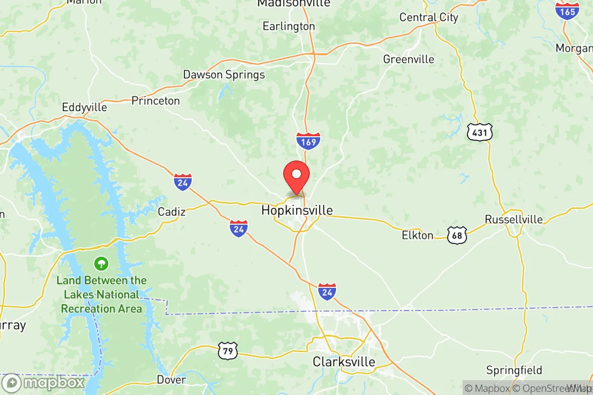
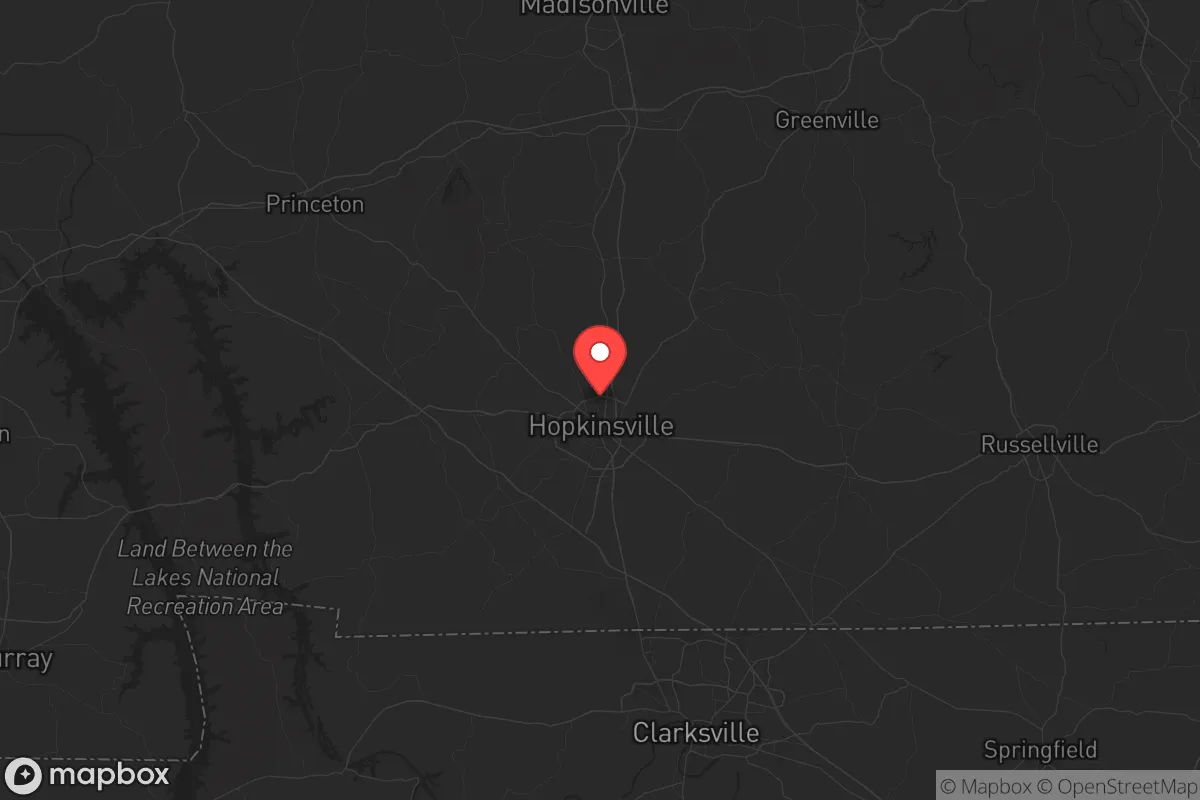
Christian County, Kentucky, offers a strategic relocation option for those prioritizing resilience and self-sufficiency, sitting at a crossroads of moderate isolation and practical access. The county’s seat, Hopkinsville, anchors a region that balances rural buffer zones with enough infrastructure to support a prepared lifestyle, while its location roughly 60 miles northwest of Fort Campbell (a major military installation) and 150 miles from Nashville provides both a security buffer and logistical reach. For a conservative-leaning individual or family concerned with civic unrest, mass casualty events, or systemic disruptions, this area presents a defensible position with tangible advantages—provided you understand its specific exposures and plan accordingly.
Geographic position and natural advantages for long-term security
Christian County sits in the Pennyrile region of western Kentucky, characterized by rolling hills, limestone bluffs, and abundant hardwood forests—terrain that offers natural cover and defensibility without the extreme isolation that complicates supply runs. The county’s 720 square miles include the towns of Oak Grove, Pembroke, and Crofton, each providing small population clusters that can serve as resupply nodes or community
* Values derived from national, state, county, city and local statistics and may differ in a specific area. Last updated: 2026-05-11T10:29:54.000Z
Narrative content on this page is AI-generated and may contain mistakes. Verify any details that matter before acting on them.
ReloMaps may earn a commission from affiliate links at no extra cost to you.