Strategic Assessment of Mccracken County
Workable tactical position. Some exposure to population density or targets, but generally defensible in a crisis.
What does the Strategic Assessment tell us?
Our Strategic Assessment grades tactical survivability of an area. Major population centers, military targets, fallout zones, natural disasters, and border exposure all drive risk — lower exposure means a more defensible position in a crisis.
This is heavily inspired by Joel Skousen's Strategic Relocation book. Highly recommended you checkout the book ($)What does this tell us?
Our Strategic Assessment grades tactical survivability of an area. Major population centers, military targets, fallout zones, natural disasters, and border exposure all drive risk — lower exposure means a more defensible position in a crisis.
This is heavily inspired by Joel Skousen's Strategic Relocation book. Highly recommended you checkout the book ($)Strategic Pillars

Key Distances
Strategic Assessment Analysis
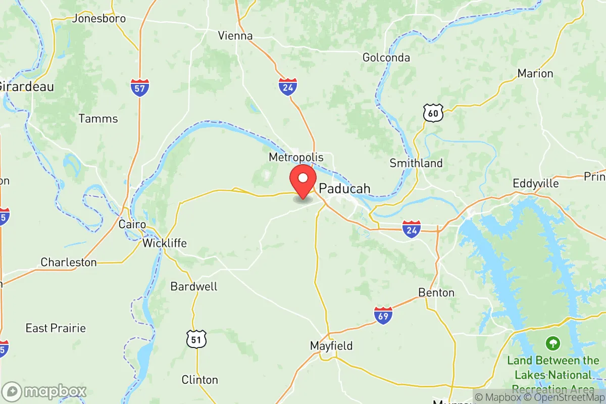
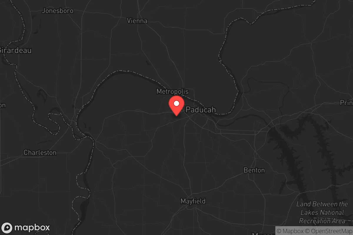
McCracken County, anchored by Paducah, offers a strategic blend of inland security and logistical connectivity that appeals to relocation-minded individuals and families prioritizing resilience. Its position at the confluence of the Ohio and Tennessee Rivers, roughly 120 miles from both Nashville and St. Louis, provides a buffer from major metropolitan fallout zones while retaining access to critical supply chains via Interstate 24 and the Paducah & Louisville Railway. The county’s population of roughly 67,000, with Paducah as the urban core, creates a density that supports infrastructure without the vulnerability of a major city—a balance that makes it a serious contender for those weighing disaster readiness against daily convenience.
Geographic position and natural advantages for self-sufficiency
McCracken County sits on the southern bank of the Ohio River, a natural barrier that also serves as a reliable water source and a transportation corridor for bulk goods. The surrounding region—bounded by the Land Between the Lakes National Recreation Area to the east and the Shawnee National Forest across the river in Illinois—offers significant undeveloped land, which reduces population density and provides natural buffers against both man-made and natural disruptions. The county’s elevation averages around 350 feet, with no major floodplain issues in the higher-elevation areas west of Paducah, such as the communities of Lone Oak and West Paducah. This topography, combined with the region’s moderate climate (average annual rainfall of 48 inches, mild winters), supports year-round gardening and small-scale agriculture, a key advantage for self-sufficiency. The proximity to the Mississippi River, just 20 miles west at the confluence near Cairo, Illinois, adds another layer of logistical access without the direct exposure of a riverfront city like Cairo itself.
Risks, exposures, and proximity to fallout-relevant landmarks
While McCracken County avoids the direct fallout risks of a major metropolitan area, it is not without exposure. The most significant man-made risk is the Paducah Gaseous Diffusion Plant, a decommissioned uranium enrichment facility located about 10 miles west of downtown Paducah. Though operations ceased in 2013, the site remains a Superfund cleanup area with ongoing environmental monitoring. A catastrophic release from the plant—while unlikely—could affect downwind areas, particularly in the western parts of the county. Additionally, the county lies within 50 miles of the Kentucky Dam on the Tennessee River, a major hydroelectric and flood-control structure. A dam failure scenario, though improbable, would inundate low-lying areas along the Tennessee River valley, including parts of Paducah’s riverfront. On the natural disaster front, the region sits in a moderate seismic zone (New Madrid Seismic Zone), with a 7-10% probability of a magnitude 6.0 or greater earthquake in the next 50 years. Such an event could disrupt the Ohio River bridges (the I-24 and US-60 bridges) that are critical for evacuation and supply routes. For a relocator, these risks are manageable with proper planning—elevated property selection, emergency supplies, and awareness of evacuation routes—but they are not negligible.
Practical resilience for a relocator: food, water, energy, and defensibility
For someone serious about self-sufficiency, McCracken County offers a strong foundation. Water access is excellent: the Ohio River provides a virtually unlimited surface water source, and the county’s groundwater aquifers (particularly the McNairy Formation) are reliable for private wells, with typical depths of 100-300 feet yielding 10-30 gallons per minute. Paducah Water Works, the municipal utility, draws from the Ohio and maintains backup generators, but a private well with a hand pump or solar-powered pump is a prudent redundancy. Food production is viable: the county has over 400 farms, with fertile bottomland soils along the Ohio and Tennessee Rivers supporting corn, soybeans, and vegetables. The growing season averages 190 days, allowing for two crop cycles in many years. Local farmers’ markets in Paducah and the surrounding communities of Reidland and Hendron provide fresh produce, but a relocator should plan to establish a home garden and consider small livestock (chickens, goats) for protein. Energy resilience is moderate: the Tennessee Valley Authority (TVA) supplies electricity, with the nearby Shawnee Fossil Plant (in McCracken County) and the Kentucky Dam hydroelectric plant providing generation capacity. However, the grid is vulnerable to ice storms and tornadoes (the county averages 12 tornado warnings per year). Solar panels with battery storage are a viable investment, as the region receives about 4.5 peak sun hours per day. Defensibility is a mixed picture: the county’s rural areas, such as the unincorporated communities of Massac and Melber, offer low population density and natural cover from forests and rolling hills, making them easier to secure than suburban subdivisions. However, the I-24 corridor and the Ohio River bridges create natural chokepoints that could be contested in a prolonged disruption. The presence of the Kentucky National Guard’s 103rd Chemical Battalion in Paducah adds a layer of security infrastructure, but it also makes the area a potential target in a conflict scenario. Overall, a relocator should prioritize a property with a private well, south-facing roof for solar, and at least 5-10 acres of defensible space, ideally in the western or southern parts of the county away from the riverfront and the plant.
In the broader strategic picture, McCracken County represents a calculated trade-off: it offers the water, land, and logistical access needed for long-term self-sufficiency, but it is not a remote bunker location. The presence of the Paducah Gaseous Diffusion Plant and the Ohio River bridges introduces specific vulnerabilities that require awareness and mitigation. For a family or individual willing to invest in a well, solar, and a garden, the county provides a realistic path to resilience without the isolation of a truly rural area. The proximity to Paducah’s hospitals (Baptist Health Paducah, Mercy Health Lourdes) and supply chains (the Paducah-McCracken County Industrial Park) means that day-to-day life remains convenient, while the buffer from major cities reduces the risk of being caught in a cascading urban collapse. For the conservative-leaning relocator who values preparedness but also wants a functional community, McCracken County is a solid, if not perfect, choice—one that rewards planning and punishes complacency.

* Values derived from national, state, county, city and local statistics and may differ in a specific area. Last updated: 2026-10-03T07:12:06.000Z
Narrative content on this page is AI-generated and may contain mistakes. Verify any details that matter before acting on them.
ReloMaps may earn a commission from affiliate links at no extra cost to you.

