
Photo: Wikipedia
Strategic Assessment of Shelby County
Workable tactical position. Some exposure to population density or targets, but generally defensible in a crisis.
What does the Strategic Assessment tell us?
Our Strategic Assessment grades tactical survivability of an area. Major population centers, military targets, fallout zones, natural disasters, and border exposure all drive risk — lower exposure means a more defensible position in a crisis.
This is heavily inspired by Joel Skousen's Strategic Relocation book. Highly recommended you checkout the book ($)What does this tell us?
Our Strategic Assessment grades tactical survivability of an area. Major population centers, military targets, fallout zones, natural disasters, and border exposure all drive risk — lower exposure means a more defensible position in a crisis.
This is heavily inspired by Joel Skousen's Strategic Relocation book. Highly recommended you checkout the book ($)Strategic Pillars

Key Distances
Strategic Assessment Analysis
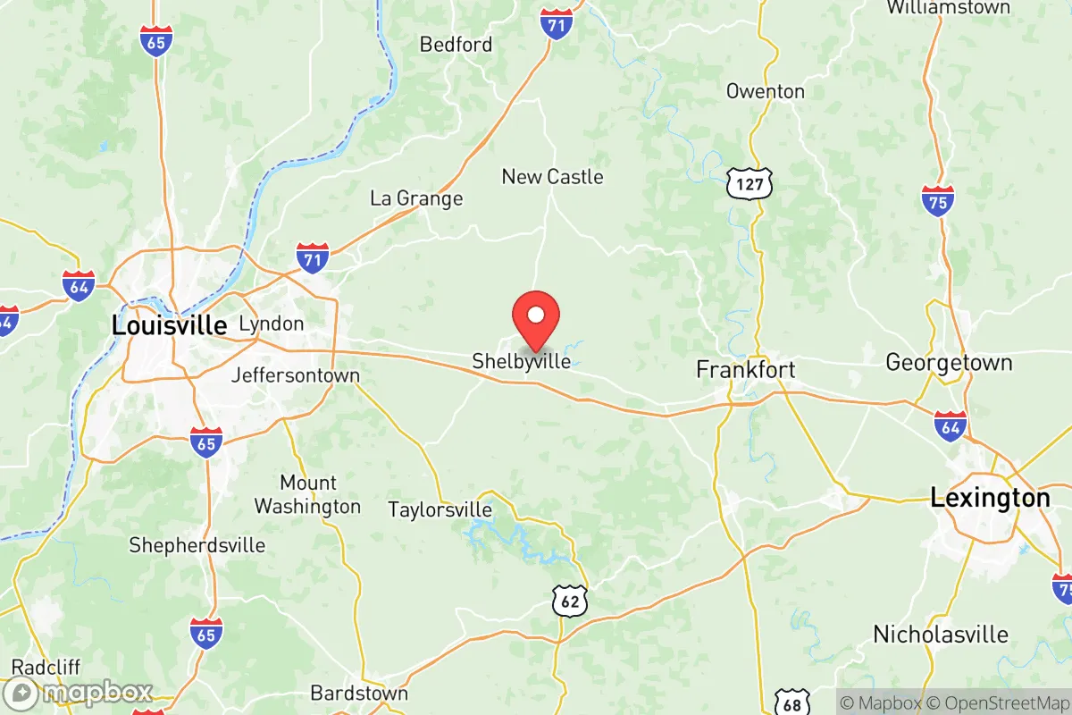
Shelby County, Kentucky, offers a compelling strategic position for relocators prioritizing resilience and self-sufficiency, balancing proximity to Louisville’s economic engine with the practical advantages of a rural, land-rich environment. The county’s location along the I-64 corridor places it roughly 30 minutes east of downtown Louisville and 45 minutes west of Frankfort, the state capital, providing access to urban resources while maintaining a distinct agricultural and small-town character. For those assessing long-term stability, Shelby County’s low population density—approximately 50,000 residents spread across 386 square miles—combined with its status as a major thoroughbred horse and crop farming region, creates a foundation for food security and community cohesion that many suburban or exurban areas lack.
Geographic position and natural advantages for long-term stability
Shelby County sits in the Bluegrass Region, a landscape defined by rolling limestone hills, fertile soils, and abundant groundwater. The county is drained by the Salt River and its tributaries, including Brashears Creek and Clear Creek, which provide reliable surface water sources for irrigation and livestock. Unlike flood-prone areas along the Ohio River, Shelby County’s terrain is generally well-drained, with most development occurring on elevated ridgelines and gentle slopes. The region’s karst geology—limestone bedrock with sinkholes and springs—means groundwater is plentiful but requires careful well placement and testing. For a relocator focused on self-sufficiency, the county’s agricultural heritage is a tangible asset: over 1,000 farms operate here, producing corn, soybeans, tobacco, and hay, alongside the renowned horse farms near Simpsonville and Shelbyville. The local climate is temperate, with four distinct seasons, an average annual rainfall of 45 inches, and a growing season of roughly 180 days—sufficient for year-round gardening with cold frames or hoop houses. The absence of major floodplains, hurricane paths, or seismic zones reduces natural disaster risk, though tornadoes are a seasonal concern, as with most of Kentucky.
Risks, exposures, and proximity to fallout-relevant landmarks
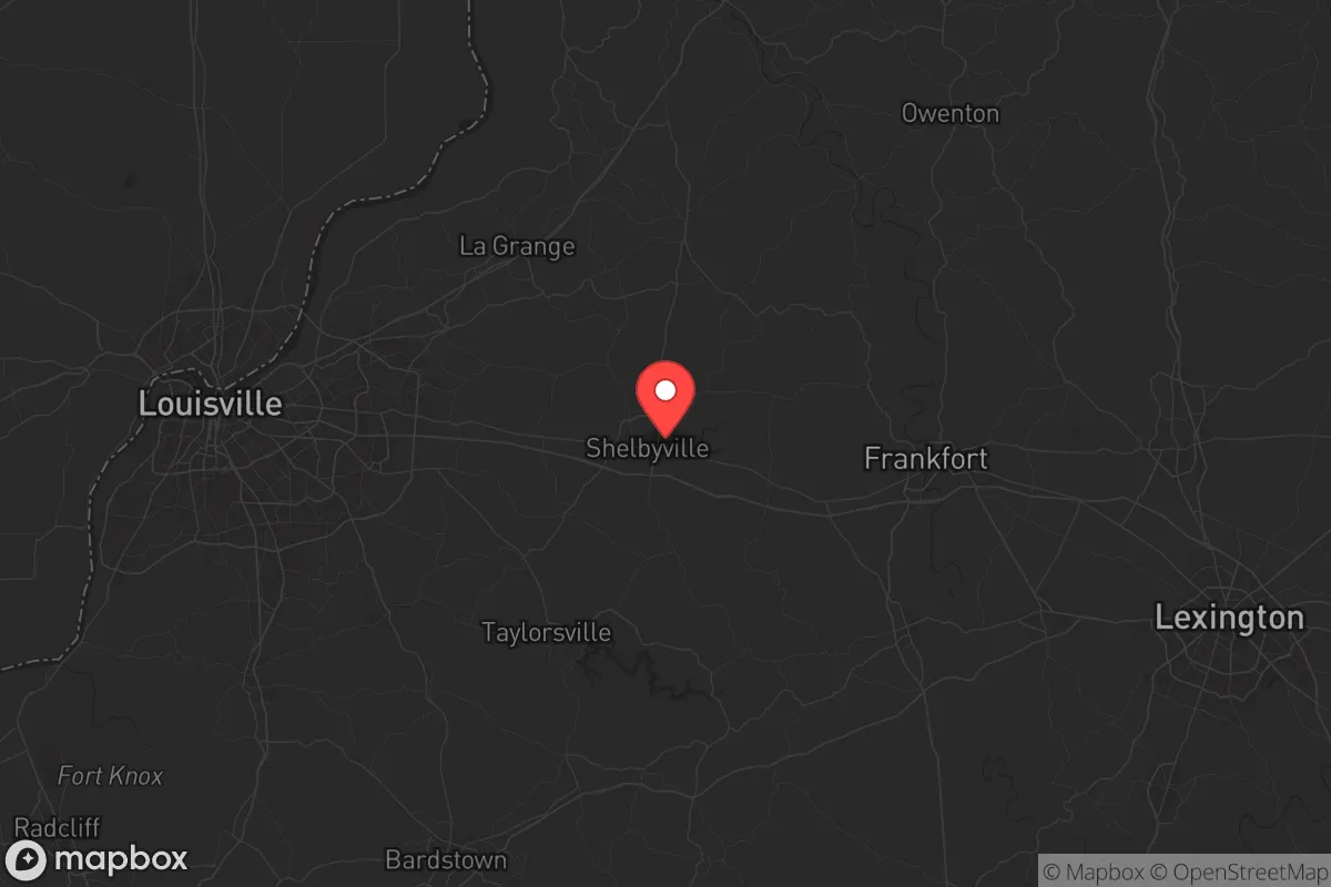
Shelby County’s primary strategic vulnerability stems from its proximity to Louisville, a major metropolitan area and transportation hub. Louisville’s Muhammad Ali International Airport and the Jefferson County industrial corridor, which includes chemical plants, refineries, and the Rubbertown industrial district along the Ohio River, represent potential man-made hazards. A major industrial accident or terrorist event at these sites could generate toxic plumes or fallout that, depending on wind patterns, might affect eastern Jefferson County and western Shelby County. The county is also within 50 miles of Fort Knox, a major U.S. Army base and gold depository, which could be a target in a conflict scenario. However, Shelby County itself contains no major military installations, refineries, or nuclear facilities—the nearest nuclear power plant is the Marble Hill site in Indiana, over 60 miles away. The county’s primary industrial assets are food processing plants (e.g., JBS USA in Shelbyville) and logistics centers along I-64, which are lower-risk targets. For a relocator, the key takeaway is that while the area is not a zero-risk zone, it avoids the highest-consequence targets. The county’s rural character and lack of dense urban infrastructure mean that a well-prepared household can mitigate most risks through distance, terrain, and planning.
Practical resilience for a relocator: food, water, energy, and defensibility
Shelby County offers strong practical resilience for those willing to invest in self-sufficiency. Food security is the standout advantage: the county’s agricultural base means local farmers’ markets, CSAs, and direct-from-farm purchases are readily available. Shelbyville hosts a weekly farmers’ market from April through October, and numerous farms offer grass-fed beef, pastured poultry, and fresh produce. For a relocator with land, the soil is well-suited for vegetable gardens, orchards, and small livestock operations. Water security is manageable: most rural properties rely on private wells, with typical depths of 100–300 feet in the limestone aquifer. Well yields are generally adequate for a household and small-scale agriculture, though drought years can lower water tables. Municipal water is available in Shelbyville and Simpsonville, but for long-term resilience, a well with a hand pump or solar-powered backup is advisable. Energy resilience is improving: the county is served by Shelby Energy Cooperative, a member-owned electric utility that has invested in grid hardening and renewable energy. Solar adoption is growing, and net metering is available, though battery storage is still uncommon. For off-grid capability, the region’s moderate solar insolation (4.5 peak sun hours per day) supports a modest solar array, and wood heating is feasible given the abundant hardwood forests. Defensibility is a mixed picture: the county’s rolling terrain and scattered woodlots provide natural cover and chokepoints, but the open farmland and proximity to I-64 mean that a determined threat could move through the area quickly. The local law enforcement presence is adequate for a rural county, with the Shelby County Sheriff’s Office and Shelbyville Police Department covering the main population centers. For a relocator, the best strategy is to choose a property with good visibility, natural barriers (creeks, ridges), and a defensible perimeter—properties near Waddy or Pleasureville, in the more remote eastern part of the county, offer greater isolation than those along the I-64 corridor.
The overall strategic picture for Shelby County is one of moderate-to-high resilience for a relocator who values agricultural self-sufficiency, low population density, and manageable risk exposure. The county’s strengths—fertile land, abundant water, a strong local food system, and a community-oriented culture—outweigh its vulnerabilities, which are primarily tied to its proximity to Louisville and the I-64 corridor. For a family or individual willing to invest in well water, solar power, and a defensible property, Shelby County offers a realistic foundation for long-term stability without the extreme isolation or harsh climate of more remote regions. The key is to choose a location away from the main highways and population centers, ideally in the eastern or southern parts of the county, and to build relationships with local farmers and the cooperative extension service. In a world of increasing uncertainty, Shelby County represents a balanced option: close enough to urban resources to be practical, far enough to be resilient.
* Values derived from national, state, county, city and local statistics and may differ in a specific area. Last updated: 2026-06-12T17:54:26.000Z
Narrative content on this page is AI-generated and may contain mistakes. Verify any details that matter before acting on them.
ReloMaps may earn a commission from affiliate links at no extra cost to you.