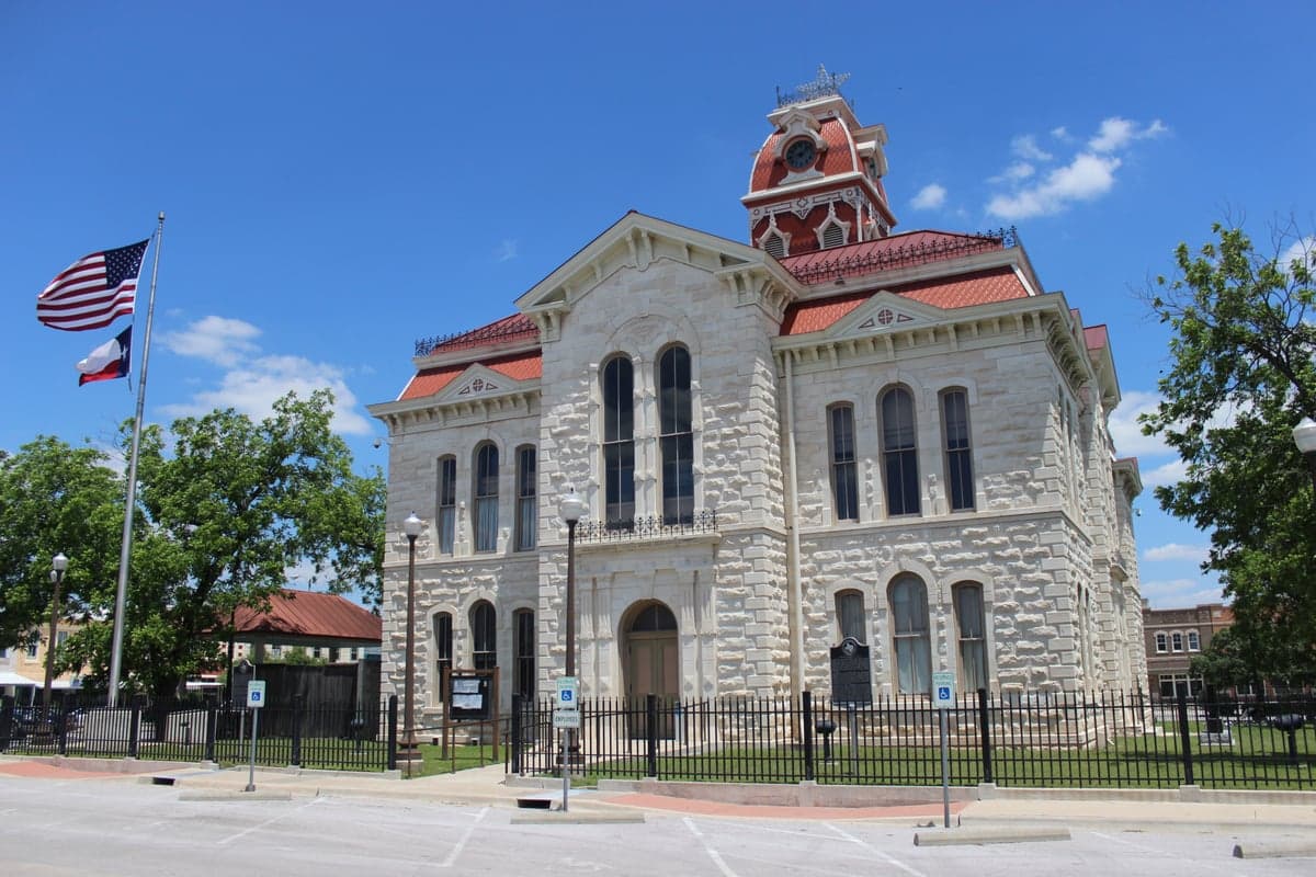
Photo: Wikipedia
Strategic Assessment of Lampasas, TX
Workable tactical position. Some exposure to population density or targets, but generally defensible in a crisis.
What does the Strategic Assessment tell us?
Our Strategic Assessment grades tactical survivability of an area. Major population centers, military targets, fallout zones, natural disasters, and border exposure all drive risk — lower exposure means a more defensible position in a crisis.
This is heavily inspired by Joel Skousen's Strategic Relocation book. Highly recommended you checkout the book ($)What does this tell us?
Our Strategic Assessment grades tactical survivability of an area. Major population centers, military targets, fallout zones, natural disasters, and border exposure all drive risk — lower exposure means a more defensible position in a crisis.
This is heavily inspired by Joel Skousen's Strategic Relocation book. Highly recommended you checkout the book ($)Strategic Pillars

Key Distances
Regional Safe Places
Below is our recommended "safe zones" in Texas and the surrounding area based on our strategic heuristics. For most people, it's unrealistic to live in a “safe zone” full-time due to work, family or other personal reasons. They tend to be more rural. However, many of these areas are perfect for second homes and retreat properties that double as a vacation home or even a short-term rental.


Important Note: For informational purposes only. This does not mean nothing bad ever happens in the green zones. Please use common sense. This is based on public data and modeled with AI. We tried to take a conservative approach but mistakes happen. We update this regularly as new information becomes available.
Solar Generator Recommendations
Backup power matters more here than in safer locations. We've picked three solar generators across budgets and capacity tiers — start with the budget unit if you only need a few essentials, or step up if you want to run a fridge and HVAC for days at a time.

Jackery Portable Power Station Explorer 300
Budget OptionPower on the Go: Weighing only 11 lbs, it's convenient to set up and store with book-sized foldable solar panels

BLUETTI Portable Power Station AC180
Designed for both indoor and outdoor scenarios, AC180 is highly capable as it has a robost capacity and continuous output power.

EF ECOFLOW DELTA Pro Ultra Power Station
Upgraded PickEcoFlow DELTA Pro Ultra is a whole-home energy system designed to grow with your family. Integrated with the Smart Home Panel 2, it scales to meet your evolving energy needs — keeping your home powered, intelligent, and secure through every stage of life.
We earn a commission, at no additional cost to you.
Strategic Assessment Analysis
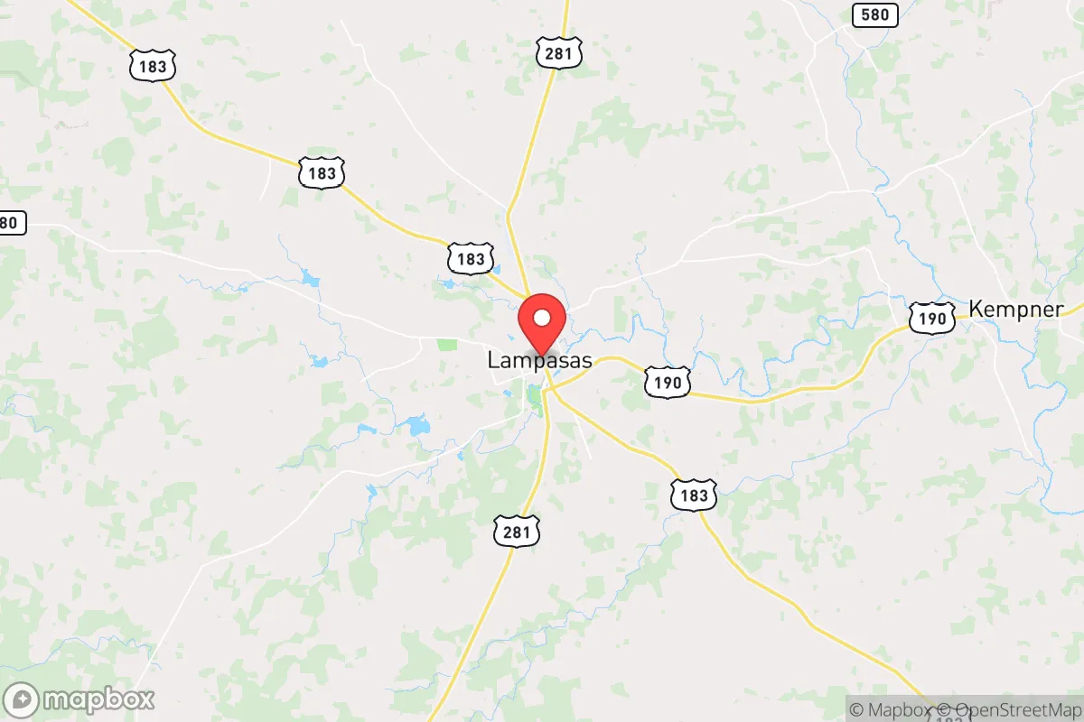
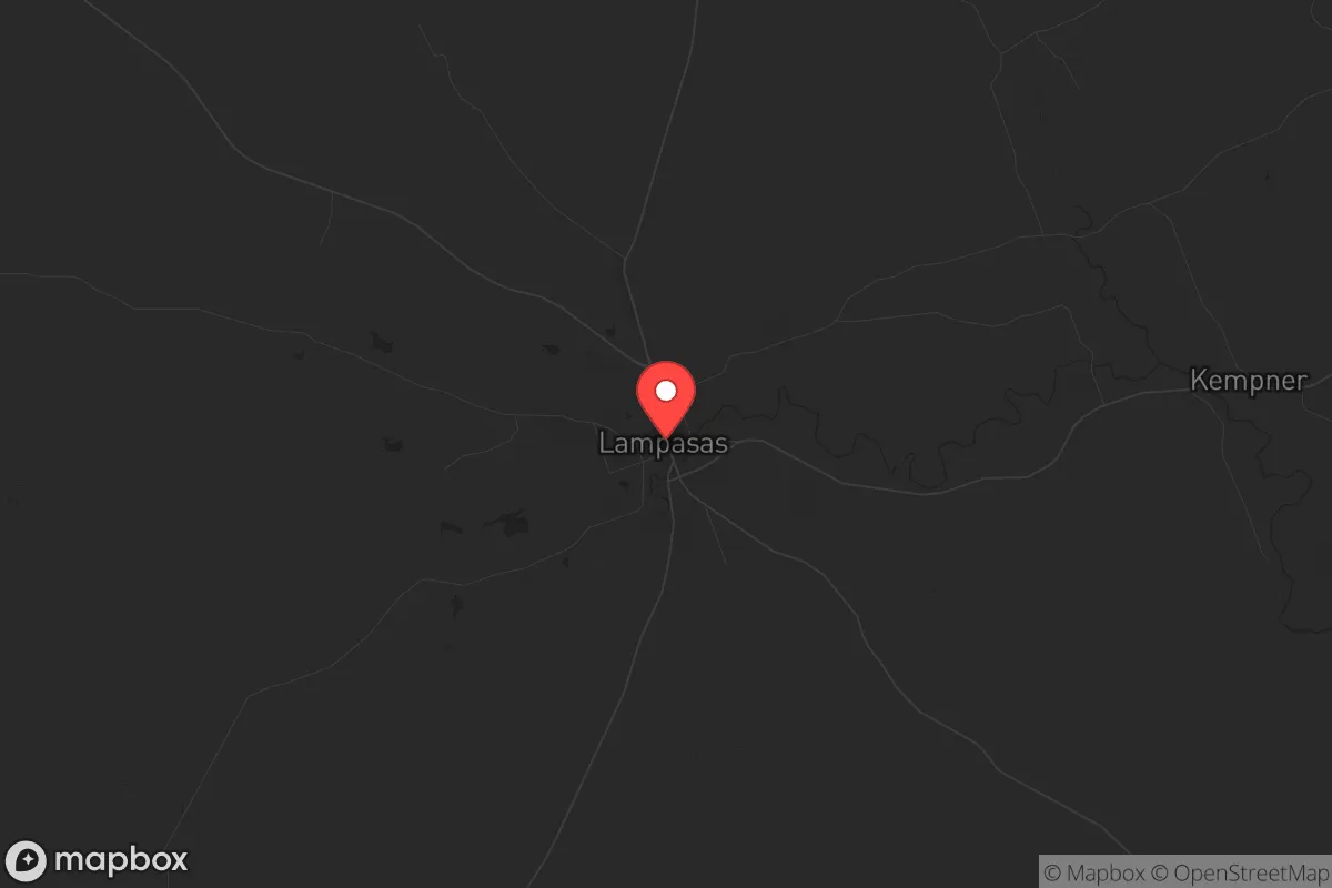
Lampasas, Texas, sits in a strategic sweet spot that resilience-minded relocators should take seriously: far enough from major metropolitan chaos to offer genuine buffer, yet close enough to essential infrastructure to avoid the isolation trap that plagues more remote prepper properties. This Hill Country town of roughly 8,000 people anchors a county of about 22,000, placing it squarely in the low-density, low-target category that survivalists prioritize. Its position along U.S. Highway 281 and State Highway 190 provides practical access to supplies and medical care without making it a natural thoroughfare for fleeing urban populations during a crisis. For those assessing long-term viability in an unstable national landscape, Lampasas offers a rare combination of geographic insulation, water resources, and community scale that warrants a hard look.
Geographic position and natural advantages for long-term security
Lampasas sits at the northern edge of the Texas Hill Country, roughly 60 miles northwest of Austin and 50 miles south of Waco. That distance is critical: it places the town outside the immediate blast radius of any major metropolitan target, yet within a two-hour drive of Level 1 trauma centers in both cities. The surrounding terrain is rolling limestone hills with scattered live oak and cedar, offering natural cover and defensible positions that flatland properties cannot match. The Lampasas River runs through the town, and the area sits atop the Trinity Aquifer, providing a more reliable water source than many West Texas alternatives. Multiple springs—including the historic Sulphur Springs and Hancock Springs—have sustained human habitation here for centuries, a fact that should not be overlooked when evaluating long-term water security. The local climate supports year-round gardening with careful management, and the growing season stretches roughly 230 days, allowing for serious food production if you put in the work.
Risks, exposures, and proximity to fallout-relevant landmarks
No location is risk-free, and Lampasas has vulnerabilities that demand honest assessment. The most obvious concern is its proximity to Interstate 35, roughly 30 miles east, which serves as the primary evacuation corridor for the Austin-San Antonio metroplex. During a major crisis, that highway could become a chokepoint of desperate people moving north and west, and Lampasas sits directly in the path of anyone fleeing Austin via U.S. 183 or U.S. 281. The town itself has no major military installations, nuclear facilities, or chemical plants within its immediate vicinity, which is a significant positive. However, Fort Cavazos (formerly Fort Hood) lies about 40 miles north—a major Army post that could become a focal point for federal activity during civil unrest. The closest nuclear power plant is the South Texas Nuclear Generating Station near Bay City, roughly 200 miles south, well outside any plausible fallout zone. More immediate concerns include tornado risk—Lampasas County sits in the southern edge of Tornado Alley—and the potential for extended drought, which already stresses the region's water resources. Flash flooding along the Lampasas River is a real but manageable hazard if you choose your property elevation wisely.
Practical resilience for a relocator: food, water, energy, and defensibility
For someone serious about self-sufficiency, Lampasas offers a workable baseline that requires effort but not fantasy. The water situation is genuinely favorable compared to most of Texas: the Trinity Aquifer provides decent well yields at reasonable depths (typically 200-400 feet), and surface water from the Lampasas River is available for irrigation with proper rights. Rainwater catchment is practical here, with annual precipitation averaging 30 inches, though you will need significant storage to bridge dry spells. The soil is thin and rocky in many areas, so raised beds and imported topsoil will be necessary for serious gardening—this is not black-dirt farmland. Local livestock operations are common, and the county has a strong agricultural extension office that supports small-scale farming. For energy, solar is viable with battery backup; the area averages 220 sunny days per year, and net metering is available through local co-ops like Pedernales Electric Cooperative. Defensibility varies by property: the open ranchland east of town offers long sightlines but limited cover, while the wooded hills west of U.S. 281 provide better concealment and natural chokepoints. The town's small population means that during a crisis, you will know your neighbors or be able to quickly assess who belongs and who does not—a significant advantage over suburban environments where anonymity is the norm. Local law enforcement is limited (Burnet County Sheriff's Office covers the area, with about 40 deputies for the entire county), so community self-policing and mutual aid networks are not theoretical concepts here but practical necessities.
The overall strategic picture for Lampasas is cautiously optimistic for the disciplined relocator. It is not a bug-out location for the unprepared—you will need to bring skills, supplies, and a willingness to work the land. But for someone who understands that true resilience is built through community and preparation rather than isolation, Lampasas provides a rare combination of water security, geographic buffer, and small-town social fabric that is increasingly hard to find within striking distance of modern infrastructure. The town's conservative character is not a marketing slogan but a lived reality: church attendance is high, property rights are respected, and the local culture still values self-reliance over government dependency. If the country continues its trajectory toward instability, Lampasas will not be untouched, but it will be one of the better positions from which to weather the storm. The key is to move before the crowd does—and that window is closing as more people discover the Hill Country's strategic value.
* Values derived from national, state, county, city and local statistics and may differ in a specific area. Last updated: 2026-05-14T18:26:10.000Z
Narrative content on this page is AI-generated and may contain mistakes. Verify any details that matter before acting on them.
ReloMaps may earn a commission from affiliate links at no extra cost to you.