
Photo: Wikipedia
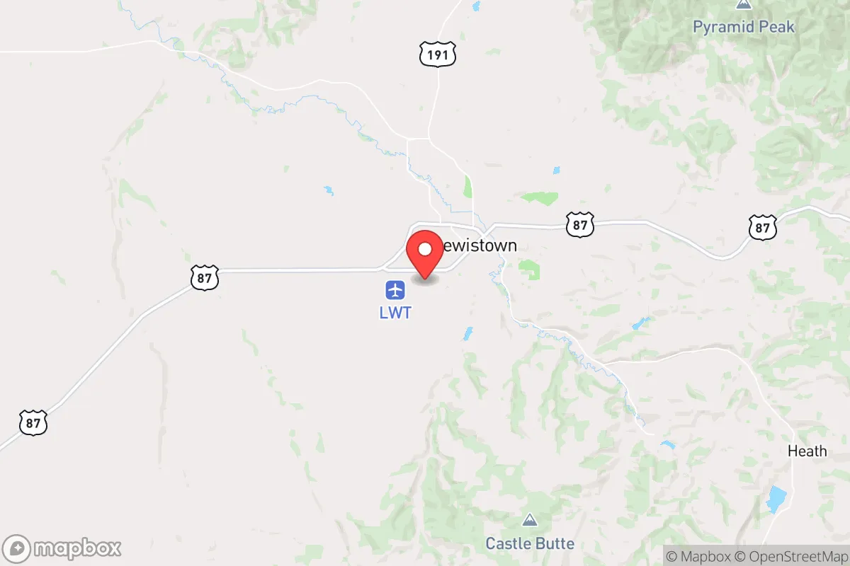
Strategic Assessment of Lewistown, MT
Workable tactical position. Some exposure to population density or targets, but generally defensible in a crisis.
What does the Strategic Assessment tell us?
Our Strategic Assessment grades tactical survivability of an area. Major population centers, military targets, fallout zones, natural disasters, and border exposure all drive risk — lower exposure means a more defensible position in a crisis.
This is heavily inspired by Joel Skousen's Strategic Relocation book. Highly recommended you checkout the book ($)What does this tell us?
Our Strategic Assessment grades tactical survivability of an area. Major population centers, military targets, fallout zones, natural disasters, and border exposure all drive risk — lower exposure means a more defensible position in a crisis.
This is heavily inspired by Joel Skousen's Strategic Relocation book. Highly recommended you checkout the book ($)Strategic Pillars

Key Distances
Regional Safe Places
Below is our recommended "safe zones" in Montana and the surrounding area based on our strategic heuristics. For most people, it's unrealistic to live in a “safe zone” full-time due to work, family or other personal reasons. They tend to be more rural. However, many of these areas are perfect for second homes and retreat properties that double as a vacation home or even a short-term rental.
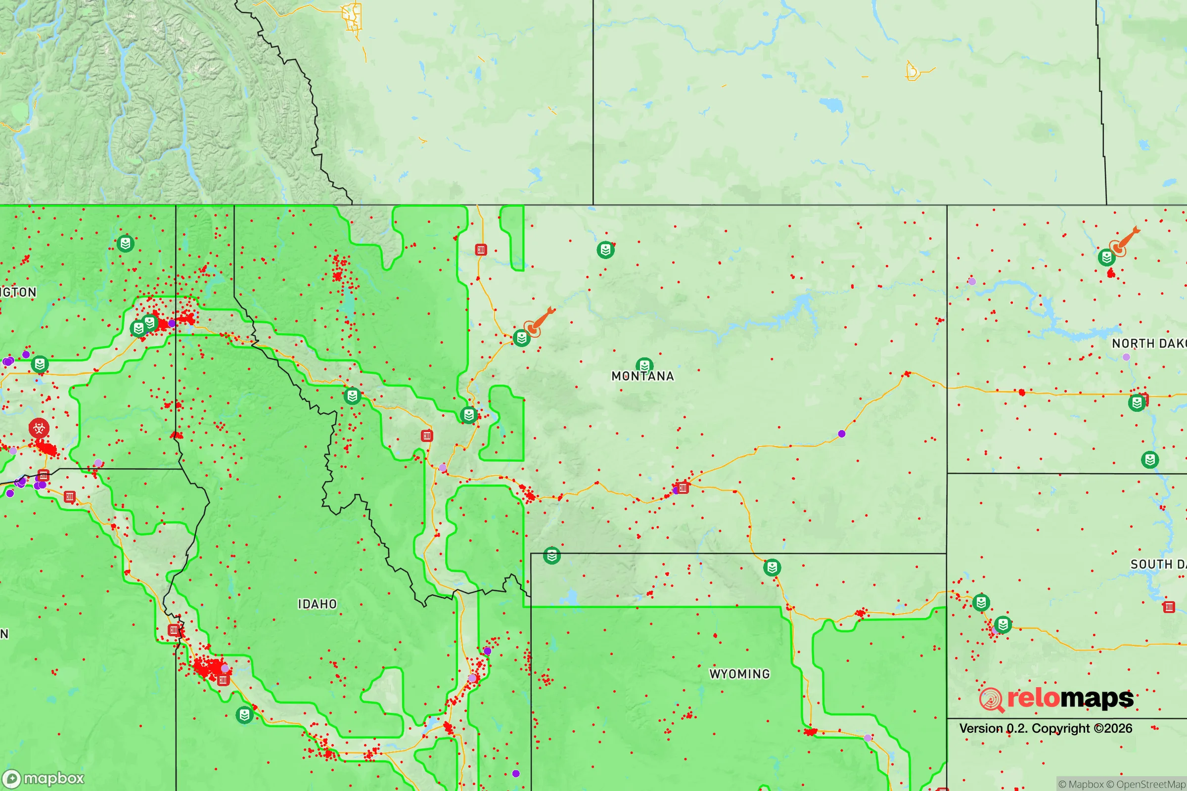

Important Note: For informational purposes only. This does not mean nothing bad ever happens in the green zones. Please use common sense. This is based on public data and modeled with AI. We tried to take a conservative approach but mistakes happen. We update this regularly as new information becomes available.
Solar Generator Recommendations
Backup power matters more here than in safer locations. We've picked three solar generators across budgets and capacity tiers — start with the budget unit if you only need a few essentials, or step up if you want to run a fridge and HVAC for days at a time.

Jackery Portable Power Station Explorer 300
Budget OptionPower on the Go: Weighing only 11 lbs, it's convenient to set up and store with book-sized foldable solar panels

BLUETTI Portable Power Station AC180
Designed for both indoor and outdoor scenarios, AC180 is highly capable as it has a robost capacity and continuous output power.

EF ECOFLOW DELTA Pro Ultra Power Station
Upgraded PickEcoFlow DELTA Pro Ultra is a whole-home energy system designed to grow with your family. Integrated with the Smart Home Panel 2, it scales to meet your evolving energy needs — keeping your home powered, intelligent, and secure through every stage of life.
We earn a commission, at no additional cost to you.
Strategic Assessment Analysis
Lewistown, Montana, sits at the geographic heart of the state, offering a combination of isolation, natural resources, and community cohesion that makes it a standout candidate for those prioritizing long-term resilience. Its location at the intersection of U.S. Highway 87 and 191 places it roughly 110 miles from Billings, 130 miles from Great Falls, and 140 miles from Bozeman—far enough to avoid the immediate fallout of urban collapse, yet connected enough for supply runs or medical evacuation in stable times. The area’s agricultural base, reliable water from the Judith River and Big Spring Creek, and low population density (around 5,900 in the town, 6,500 in the county) create a buffer against the cascading failures that plague densely populated corridors. For a relocator with a prepper mindset, Lewistown isn’t just a place to wait out a crisis—it’s a place where daily life already aligns with self-sufficiency.
Geographic position and natural advantages for long-term survival
Lewistown sits in a valley surrounded by the Judith, Little Belt, and Snowy Mountains, providing natural defensibility and microclimate benefits. The elevation of 3,963 feet means cooler summers and reliable snowpack, which feeds the Judith River and Big Spring Creek—both perennial water sources that don’t rely on fragile municipal infrastructure. The surrounding Fergus County is Montana’s top producer of wheat, barley, and pulse crops, with over 1,500 farms and ranches covering nearly 2 million acres. This agricultural density means that even if supply chains collapse, the local food system can sustain the population. The area also sits atop the Judith River Formation, a major aquifer that provides clean groundwater at depths of 100–300 feet, making well drilling a viable option for those who want off-grid water security. The mountains to the south and west act as a windbreak and provide timber for fuel, construction, and concealment. For a relocator, the key advantage is that Lewistown’s geography doesn’t just look good on a map—it provides tangible, redundant resources that reduce dependence on external systems.
Risks, exposures, and proximity to fallout-relevant landmarks
No location is perfect, and Lewistown has specific vulnerabilities that a strategic relocator must weigh. The town is 110 miles from Billings, which hosts a major oil refinery (the Phillips 66 Billings Refinery, processing 60,000 barrels per day) and a rail hub that could become a target for civil unrest or infrastructure sabotage. Malmstrom Air Force Base, home to the 341st Missile Wing and its Minuteman III ICBM silos, is 130 miles northwest near Great Falls. While Lewistown is outside the immediate blast radius of any single silo, the region’s status as a nuclear deterrent corridor means that a major conflict could bring fallout or secondary effects. The town itself has no major industrial targets, but the nearby railroad lines (BNSF’s Judith Gap line) and the U.S. Highway 87 bridge over the Judith River are single-point-of-failure chokepoints that could be disrupted by flooding, earthquake, or sabotage. Wildfire risk is moderate—the 2017 Lodgepole Complex fire burned 270,000 acres in the region, though Lewistown itself was not directly threatened. Flooding along Big Spring Creek is rare but possible during rapid snowmelt. The real risk for a relocator is not a single catastrophic event but the cumulative pressure of being in a region that, while isolated, is still connected to national infrastructure that could fail under stress.
Practical resilience for a relocator: food, water, energy, and defensibility
Lewistown’s practical resilience comes down to four pillars: food, water, energy, and community. Food security is exceptional—Fergus County produces enough grain to feed its population many times over, and local farmers’ markets, co-ops, and direct-from-ranch beef and lamb are available year-round. The Central Montana Farmers Union and the Montana Grain Growers Association maintain networks that could be leveraged for barter or bulk purchasing in a crisis. Water security is equally strong: Big Spring Creek flows at an average of 60 cubic feet per second, providing a surface water source that can be gravity-fed or pumped with minimal energy. The Judith River is a backup, though it runs lower in late summer. For those drilling wells, the cost is around $15–$30 per foot, with typical depths of 200–400 feet to reach the Judith River Formation. Energy resilience is mixed—the town is served by Northwestern Energy, which relies on a mix of coal (from the Colstrip plant, 250 miles east) and hydro (from the Missouri River dams). Solar potential is good, with an average of 5.2 peak sun hours per day, and wind is abundant in the Judith Gap area, which already hosts a 135-turbine wind farm. Off-grid solar or small wind turbines are feasible for those with land. Defensibility is a function of the town’s layout: the central business district is compact, with residential areas radiating outward into rural subdivisions. The surrounding mountains provide natural chokepoints on the main roads, and the low population density means that a small, prepared group could monitor and control access to their immediate area. The local sheriff’s office has 12 deputies for the entire county, so law enforcement is thin—this is both a risk and an opportunity for those who prefer to rely on themselves and their neighbors.
The overall strategic picture for Lewistown is one of balanced trade-offs. It offers genuine, measurable advantages in food and water security, geographic isolation from major urban targets, and a community that still values self-reliance and neighborly cooperation. The risks—proximity to missile fields, a single highway bridge, and thin law enforcement—are real but manageable with planning. For the relocator who wants to be prepared for civic unrest, mass casualty events, or systemic collapse, Lewistown provides a base where you can live a normal life while maintaining the capacity to weather a crisis. It’s not a bunker; it’s a functioning town with a prepper-friendly ethos, where the hardest part isn’t surviving—it’s getting used to the quiet.
* Values derived from national, state, county, city and local statistics and may differ in a specific area. Last updated: 2026-04-30T06:29:05.000Z
Narrative content on this page is AI-generated and may contain mistakes. Verify any details that matter before acting on them.
ReloMaps may earn a commission from affiliate links at no extra cost to you.