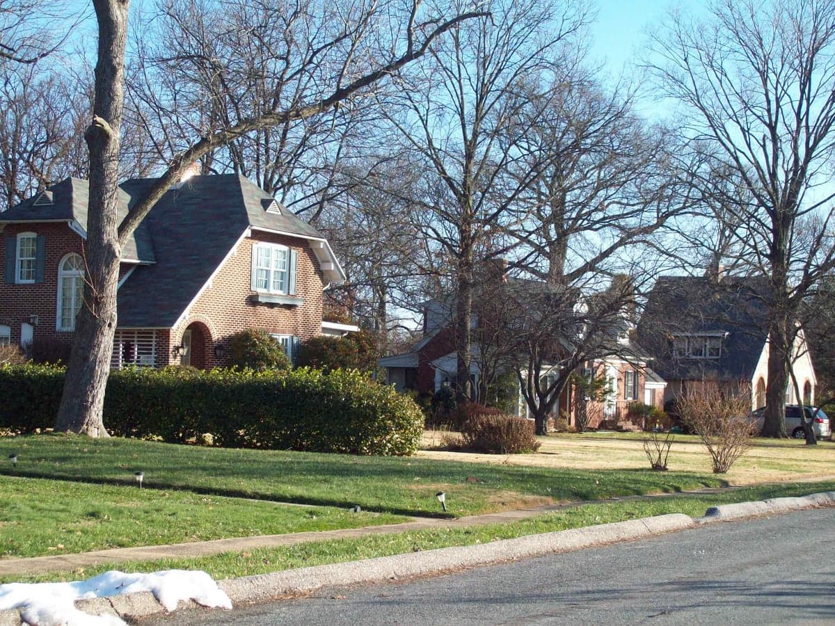
Photo: Wikipedia
Strategic Assessment of Linthicum Heights, MD
Multiple tactical vulnerabilities. Population density, target proximity, or disaster risk are likely compounding. A retreat property and exit planning is required.
What does the Strategic Assessment tell us?
Our Strategic Assessment grades tactical survivability of an area. Major population centers, military targets, fallout zones, natural disasters, and border exposure all drive risk — lower exposure means a more defensible position in a crisis.
This is heavily inspired by Joel Skousen's Strategic Relocation book. Highly recommended you checkout the book ($)What does this tell us?
Our Strategic Assessment grades tactical survivability of an area. Major population centers, military targets, fallout zones, natural disasters, and border exposure all drive risk — lower exposure means a more defensible position in a crisis.
This is heavily inspired by Joel Skousen's Strategic Relocation book. Highly recommended you checkout the book ($)Strategic Pillars

Key Distances
Regional Safe Places
Below is our recommended "safe zones" in Maryland and the surrounding area based on our strategic heuristics. For most people, it's unrealistic to live in a “safe zone” full-time due to work, family or other personal reasons. They tend to be more rural. However, many of these areas are perfect for second homes and retreat properties that double as a vacation home or even a short-term rental.




Important Note: For informational purposes only. This does not mean nothing bad ever happens in the green zones. Please use common sense. This is based on public data and modeled with AI. We tried to take a conservative approach but mistakes happen. We update this regularly as new information becomes available.
Solar Generator Recommendations
Backup power matters more here than in safer locations. We've picked three solar generators across budgets and capacity tiers — start with the budget unit if you only need a few essentials, or step up if you want to run a fridge and HVAC for days at a time.

Jackery Portable Power Station Explorer 300
Budget OptionPower on the Go: Weighing only 11 lbs, it's convenient to set up and store with book-sized foldable solar panels

BLUETTI Portable Power Station AC180
Designed for both indoor and outdoor scenarios, AC180 is highly capable as it has a robost capacity and continuous output power.

EF ECOFLOW DELTA Pro Ultra Power Station
Upgraded PickEcoFlow DELTA Pro Ultra is a whole-home energy system designed to grow with your family. Integrated with the Smart Home Panel 2, it scales to meet your evolving energy needs — keeping your home powered, intelligent, and secure through every stage of life.
We earn a commission, at no additional cost to you.
Strategic Assessment Analysis
Linthicum Heights, Maryland, occupies a precarious strategic position that demands careful consideration from any relocator prioritizing resilience and self-sufficiency. Situated just south of Baltimore and north of Annapolis, this unincorporated community in Anne Arundel County offers the immediate convenience of proximity to major employment centers like BWI Thurgood Marshall Airport and Fort Meade, but that same geography creates significant vulnerabilities. For a reader thinking seriously about disaster readiness, Linthicum Heights presents a mixed picture: its location provides certain logistical advantages, but its deep integration into the Baltimore-Washington corridor introduces risks that outweigh many of its benefits for those seeking true independence from urban systems.
Geographic position and natural advantages for self-sufficiency
Linthicum Heights sits on the narrow neck of land between the Patapsco River and the Severn River, placing it on the Atlantic Coastal Plain with generally flat terrain and low elevation—typically between 20 and 50 feet above sea level. This flat geography simplifies construction and movement but offers no natural defensive high ground. The area benefits from a moderate climate with four distinct seasons, averaging 44 inches of rainfall annually, which supports local gardening and small-scale agriculture. The proximity to the Chesapeake Bay means abundant seafood resources, though access to these waters is largely through public parks and marinas rather than private shoreline. The region's soils are primarily sandy loam, suitable for vegetable gardens but requiring amendment for sustained crop yields. For a relocator focused on self-sufficiency, the land itself offers modest potential: a typical quarter-acre lot in Linthicum Heights can support a substantial vegetable garden, a few fruit trees, and rainwater collection, but the suburban density limits space for larger-scale food production or livestock. The area's tree canopy—predominantly oak, maple, and pine—provides a renewable source of firewood for heating, though local ordinances may restrict harvesting. Overall, the natural advantages here are real but constrained by the built environment; this is not frontier homesteading territory but rather a place where a determined individual could supplement their supplies with local resources.
Risks, exposures, and proximity to fallout-relevant landmarks
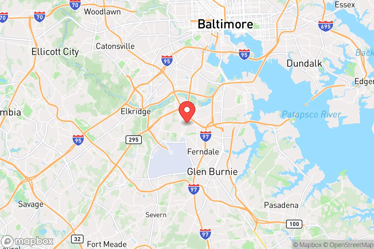
The most significant strategic liability of Linthicum Heights is its location within the Baltimore-Washington metropolitan area, a region that ranks among the highest-priority targets for any adversary considering a nuclear or large-scale conventional attack. The community lies roughly 8 miles south of downtown Baltimore and 25 miles northeast of Washington, D.C., placing it within the blast and fallout zones of multiple high-value targets. Fort Meade, home to the National Security Agency and U.S. Cyber Command, is less than 5 miles to the southeast—a primary target that would likely see a direct strike. BWI Airport, adjacent to Linthicum Heights, is both a logistical asset and a potential target, as it serves military and civilian airlift capabilities. The area also hosts major transportation infrastructure: I-95, I-695, and the Baltimore-Washington Parkway all converge nearby, making it a chokepoint that could be targeted for disruption. Beyond man-made risks, natural hazards include moderate flood risk in low-lying areas near the Patapsco and Severn rivers, particularly during heavy rain events or storm surges from hurricanes tracking up the Chesapeake Bay. The region experiences occasional tornadoes (typically EF-0 to EF-1), and the flat terrain offers no natural shielding from severe weather. For the resilience-minded relocator, the concentration of strategic assets within a 10-mile radius makes Linthicum Heights a high-risk location for any scenario involving geopolitical conflict or large-scale terrorism. Evacuation routes are limited: the primary arteries—I-695, I-97, and MD-295—are prone to gridlock during emergencies, and the narrow peninsula geography means only a few roads lead north, south, or east out of the area.
Practical resilience for a relocator: food, water, energy, and defensibility
For a relocator assessing daily preparedness, Linthicum Heights offers a mixed bag of practical resources and constraints. Food security is a relative strength: the area has multiple grocery stores within a 2-mile radius, including a Wegmans, a Giant, and a Lidl, plus several farmers' markets seasonally. However, these supply chains depend on just-in-time delivery from regional distribution centers, meaning any disruption to I-95 or the local road network could empty shelves within 48 hours. For long-term self-sufficiency, the suburban lot sizes (typically 0.2 to 0.5 acres) limit gardening to about 10-20% of a family's caloric needs without aggressive techniques like vertical gardening or hydroponics. Community gardens exist but are small and oversubscribed. Water resilience is a concern: the area relies entirely on municipal water from the City of Baltimore's system, which draws from the Liberty and Loch Raven reservoirs. A prolonged power outage or contamination event would cut off supply to all residents. Well water is not an option in this developed area, so rainwater collection—legal in Maryland with a permit—becomes the primary backup. A 1,000-square-foot roof can capture roughly 600 gallons per inch of rain, enough for basic drinking and hygiene for a family of four for about two weeks with strict conservation. Energy independence is feasible but requires investment: solar panel installations are common in Anne Arundel County, with net metering available, and the area averages 4.5 peak sun hours per day. Battery storage (e.g., Tesla Powerwall) is recommended for grid outages, which occur a few times per year due to storms. Natural gas is widely available for heating and cooking, providing a backup option if the electrical grid fails. Defensibility is the weakest category: Linthicum Heights is a typical suburban bedroom community with no natural barriers, no community walls, and a street grid that offers multiple points of entry. The population density of roughly 2,500 people per square mile means neighbors are close, which can be a security asset in a cooperative community but a liability in a breakdown scenario. The local police presence is moderate, with Anne Arundel County Police providing coverage, but response times in a widespread emergency would likely be measured in hours, not minutes. For a relocator prioritizing defensibility, a rural property with a single access road would be far superior.
The strategic picture for Linthicum Heights is clear: this is a location that offers convenience and access to urban amenities at the cost of significant vulnerability to both natural and man-made disasters. For the resilience-minded relocator, the area's proximity to high-value targets like Fort Meade and BWI Airport, combined with its dependence on fragile supply chains and municipal infrastructure, makes it a poor choice for those seeking true self-sufficiency. However, for someone who must remain near the Baltimore-Washington job market for career reasons, Linthicum Heights can be made moderately resilient through proactive measures: installing solar panels and battery storage, establishing a rainwater collection system, maintaining a 90-day food supply, and building strong relationships with neighbors who share similar preparedness goals. The community's flat terrain and moderate climate are genuine assets for gardening and renewable energy, but they do not offset the fundamental risk of being embedded in a high-density, high-target metropolitan corridor. A relocator should view Linthicum Heights as a location to be managed carefully rather than a sanctuary to be relied upon—a place where resilience is possible but requires constant attention and investment, and where the prudent plan always includes a bug-out route to less exposed territory.

* Values derived from national, state, county, city and local statistics and may differ in a specific area. Last updated: 2026-10-10T16:28:05.000Z
Narrative content on this page is AI-generated and may contain mistakes. Verify any details that matter before acting on them.
ReloMaps may earn a commission from affiliate links at no extra cost to you.

